Hardwick is a census-designated place (CDP) in Kings County, California, United States. It is part of the Hanford–Corcoran Metropolitan Statistical Area. The population was 138 at the 2010 Census. The village is located 6.5 miles (10 km) northwest of Hanford, at an elevation of 249 feet (76 m).
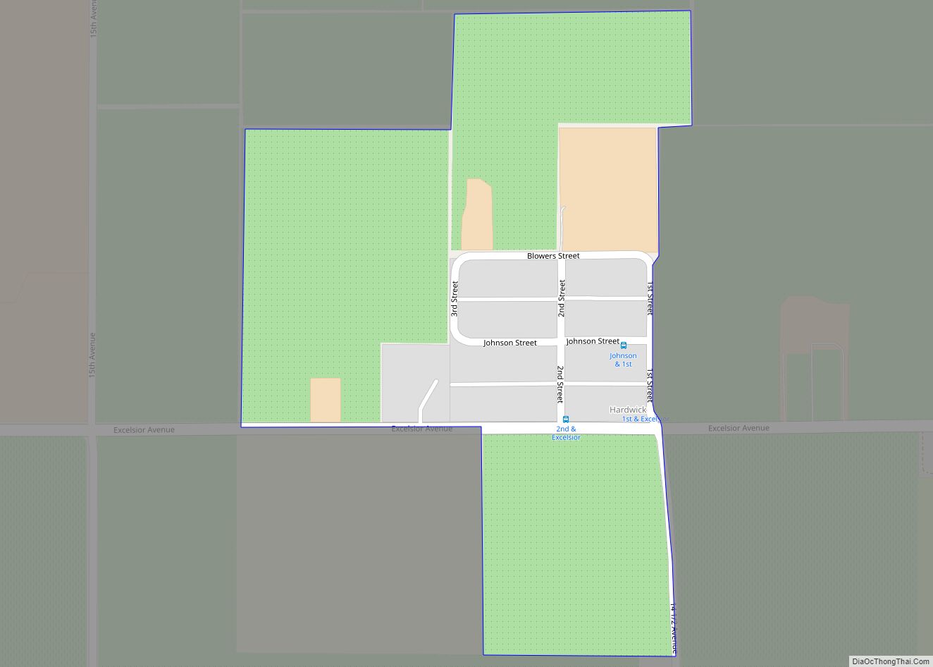
Hardwick is in the San Joaquin Valley on Excelsior Avenue between 14th and 15th Avenues. The Kings River runs 1.2 miles (1.9 km) north of the community. Its ZIP Code is 93230 and the community is inside area code 559.
The Kings County Fire Department operates a fire station in Hardwick.
The community is located in the Kings River-Hardwick School District.
| Name: | Hardwick CDP |
|---|---|
| LSAD Code: | 57 |
| LSAD Description: | CDP (suffix) |
| State: | California |
| County: | Kings County |
| Elevation: | 249 ft (76 m) |
| Total Area: | 0.139 sq mi (0.359 km²) |
| Land Area: | 0.139 sq mi (0.359 km²) |
| Water Area: | 0 sq mi (0 km²) 0% |
| Total Population: | 138 |
| Population Density: | 990/sq mi (380/km²) |
| FIPS code: | 0632156 |
Online Interactive Map
Click on ![]() to view map in "full screen" mode.
to view map in "full screen" mode.
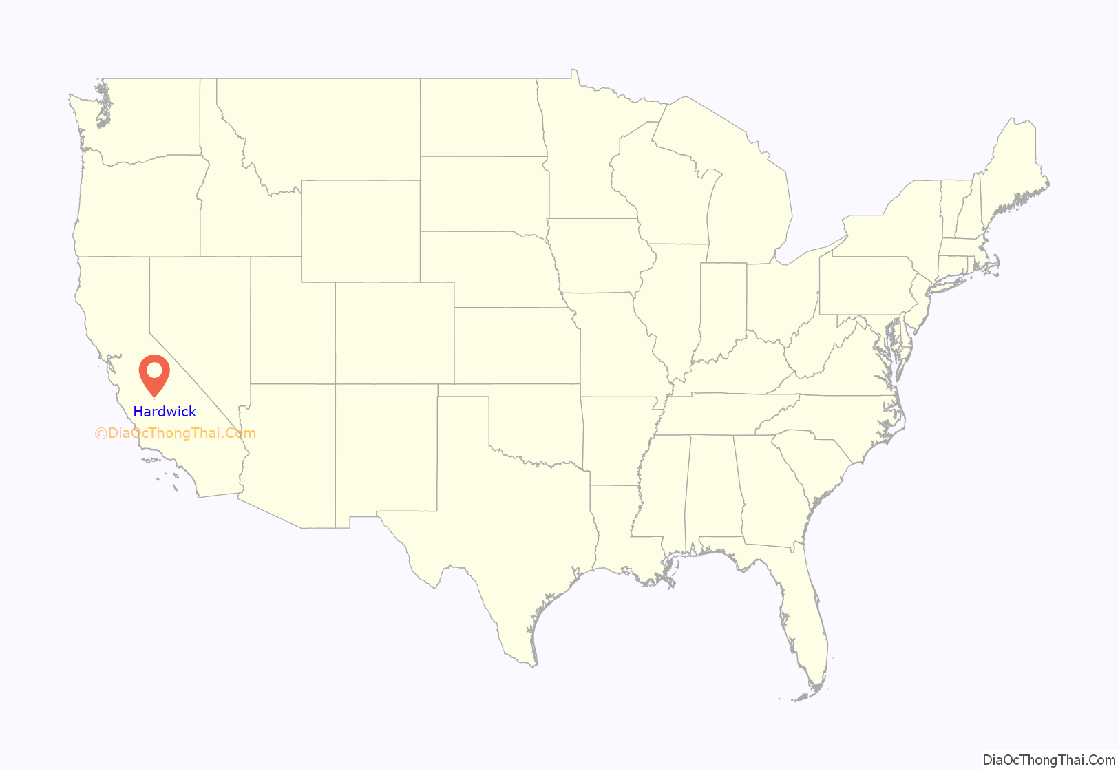
Hardwick location map. Where is Hardwick CDP?
History
Hardwick was named to commemorate an official of the Southern Pacific Railroad.
A post office was established in Hardwick in 1895, discontinued in 1904, reestablished in 1909, and finally permanently closed in 1942. Subsequently, the community has been served by the post office located in Hanford.
The first school in the community was moved from the then-fading town of Kingston. Another schoolhouse was reportedly built in 1893. Subsequently, a new school was constructed in 1914 and operated until the Hardwick and Kings River schools unified in 1962. The present fire station is located on the site of that school.
Hardwick Road Map
Hardwick city Satellite Map
See also
Map of California State and its subdivision:- Alameda
- Alpine
- Amador
- Butte
- Calaveras
- Colusa
- Contra Costa
- Del Norte
- El Dorado
- Fresno
- Glenn
- Humboldt
- Imperial
- Inyo
- Kern
- Kings
- Lake
- Lassen
- Los Angeles
- Madera
- Marin
- Mariposa
- Mendocino
- Merced
- Modoc
- Mono
- Monterey
- Napa
- Nevada
- Orange
- Placer
- Plumas
- Riverside
- Sacramento
- San Benito
- San Bernardino
- San Diego
- San Francisco
- San Joaquin
- San Luis Obispo
- San Mateo
- Santa Barbara
- Santa Clara
- Santa Cruz
- Shasta
- Sierra
- Siskiyou
- Solano
- Sonoma
- Stanislaus
- Sutter
- Tehama
- Trinity
- Tulare
- Tuolumne
- Ventura
- Yolo
- Yuba
- Alabama
- Alaska
- Arizona
- Arkansas
- California
- Colorado
- Connecticut
- Delaware
- District of Columbia
- Florida
- Georgia
- Hawaii
- Idaho
- Illinois
- Indiana
- Iowa
- Kansas
- Kentucky
- Louisiana
- Maine
- Maryland
- Massachusetts
- Michigan
- Minnesota
- Mississippi
- Missouri
- Montana
- Nebraska
- Nevada
- New Hampshire
- New Jersey
- New Mexico
- New York
- North Carolina
- North Dakota
- Ohio
- Oklahoma
- Oregon
- Pennsylvania
- Rhode Island
- South Carolina
- South Dakota
- Tennessee
- Texas
- Utah
- Vermont
- Virginia
- Washington
- West Virginia
- Wisconsin
- Wyoming
