Hickman is a census-designated place (CDP) in Stanislaus County, California, United States. The population was 641 at the 2010 census, up from 457 at the 2000 census. It is part of the Modesto Metropolitan Statistical Area. Its history dates back to the goldrush era, and was once was a stop on a rail line (the old train stop still stands). KLOC broadcasts from three radio towers in Hickman.
| Name: | Hickman CDP |
|---|---|
| LSAD Code: | 57 |
| LSAD Description: | CDP (suffix) |
| State: | California |
| County: | Stanislaus County |
| Elevation: | 177 ft (54 m) |
| Total Area: | 1.085 sq mi (2.809 km²) |
| Land Area: | 1.076 sq mi (2.787 km²) |
| Water Area: | 0.009 sq mi (0.022 km²) 0.79% |
| Total Population: | 641 |
| Population Density: | 590/sq mi (230/km²) |
| ZIP code: | 95323 |
| Area code: | 209 |
| FIPS code: | 0633504 |
| GNISfeature ID: | 1656069 |
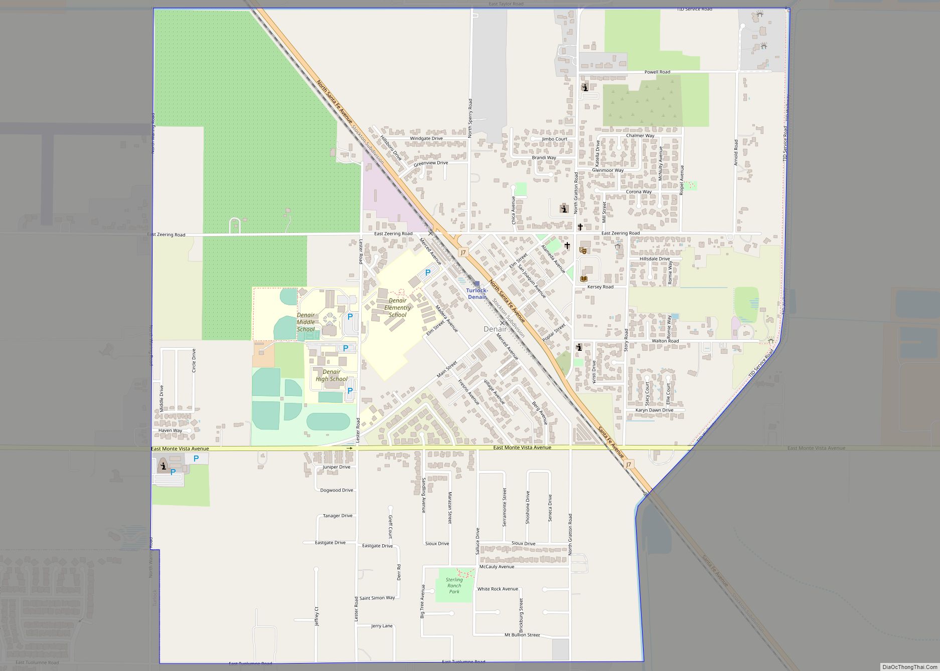
Online Interactive Map
Click on ![]() to view map in "full screen" mode.
to view map in "full screen" mode.
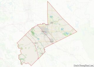
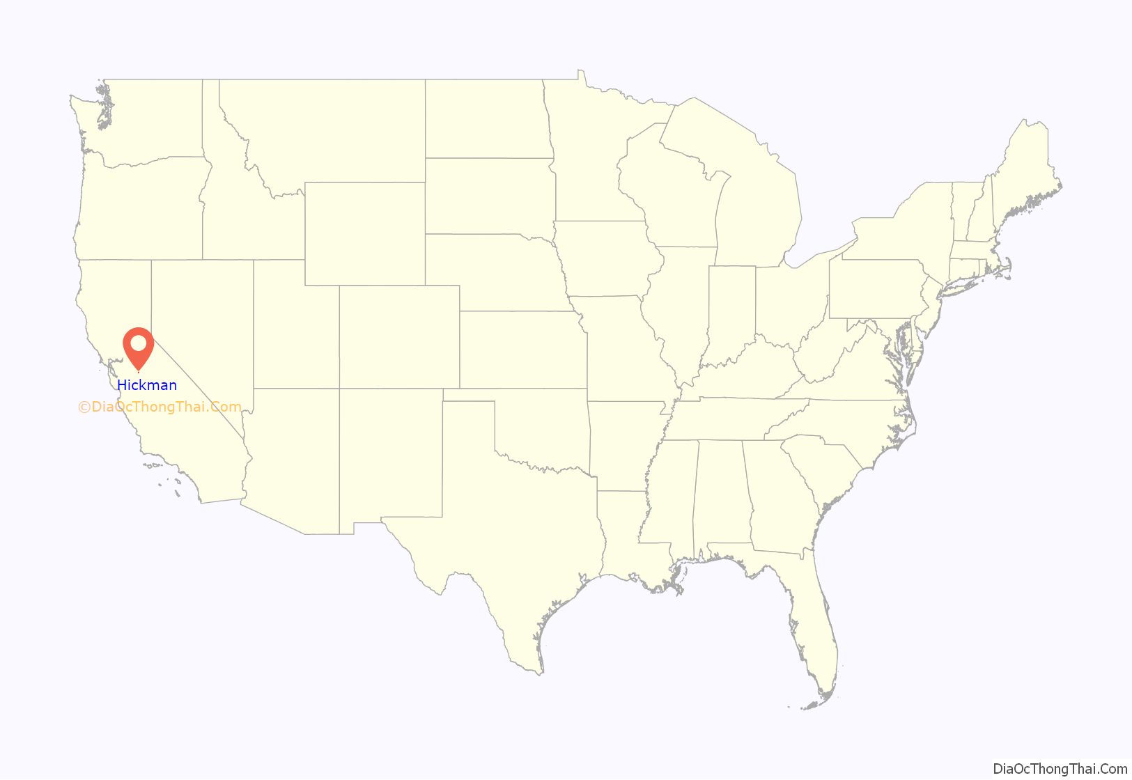
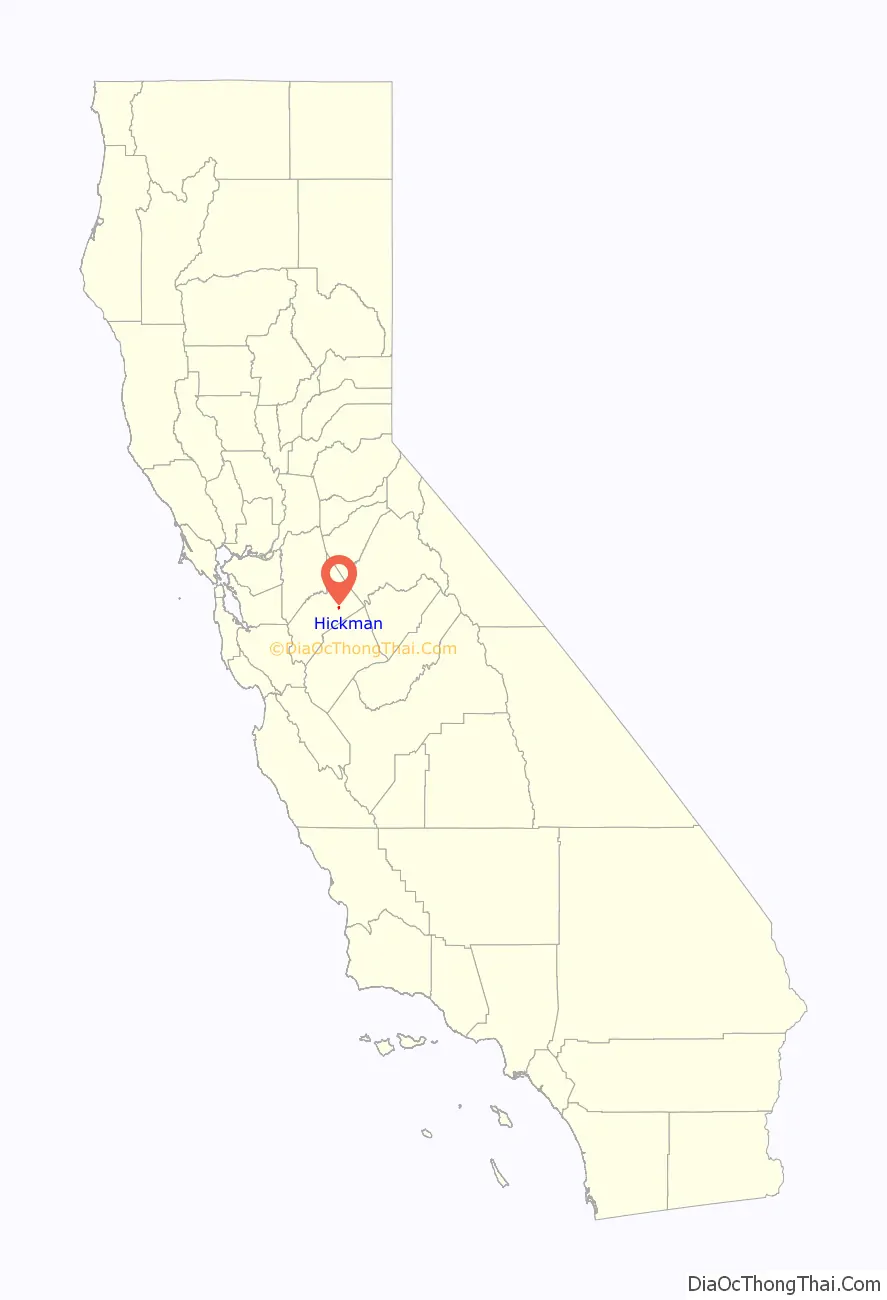
Hickman location map. Where is Hickman CDP?
History
The first major settler of Hickman was Charles Dallas in either 1849 or 1850, and early maps even referred to the area as “Dallas”. Dallas’ daughter Mary married Louis McLean Hickman on February 1, 1860. Hickman served as mayor of nearby Stockton, California in 1869. In the 1860s Hickman owned a hardware store and 11,000 acre ranch where he grew grain, hay, olives, figs, oranges, grapes and other fruits. The advent of the railroad in 1891 led to large brick grain storage buildings. Hickman was re-named in 1891 by the Southern Pacific for Louis Hickman.
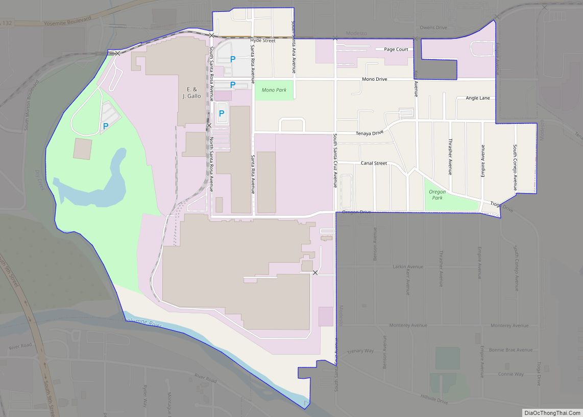
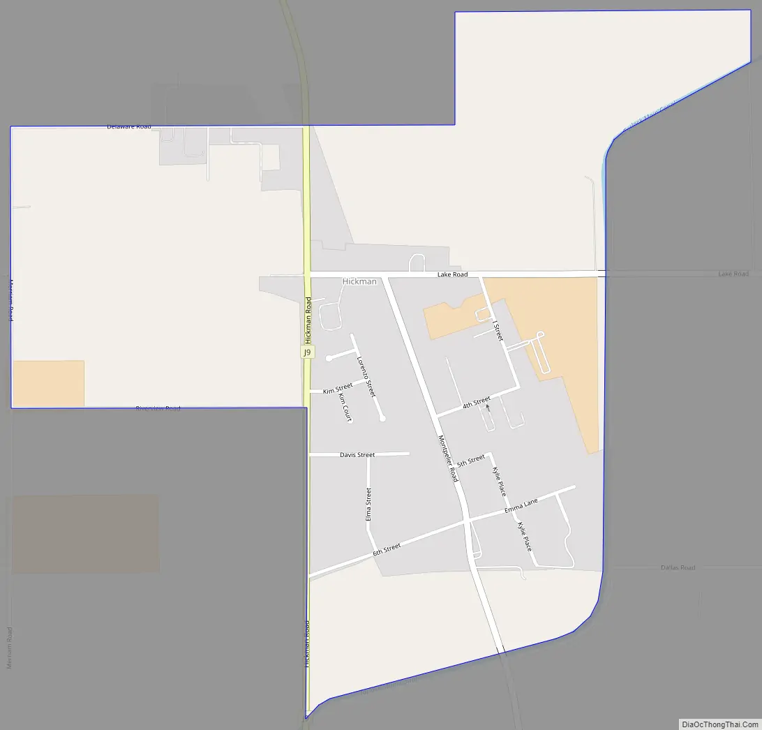
Hickman Road Map
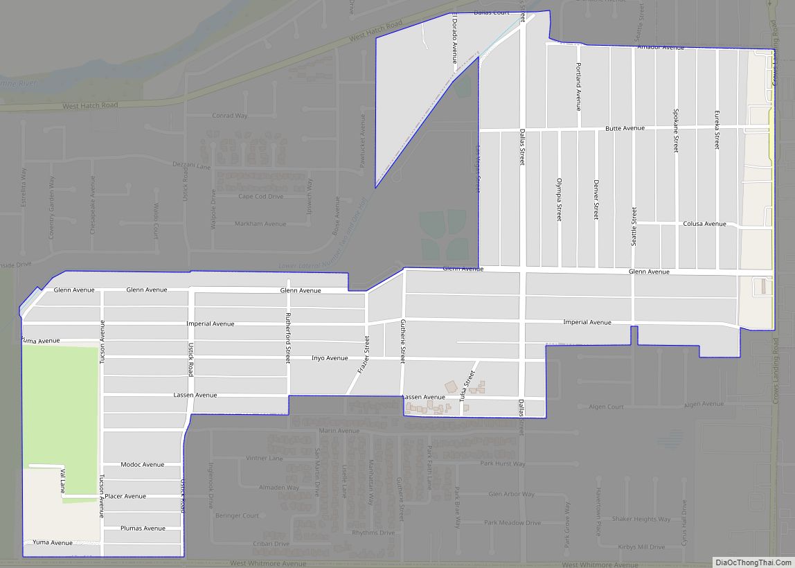
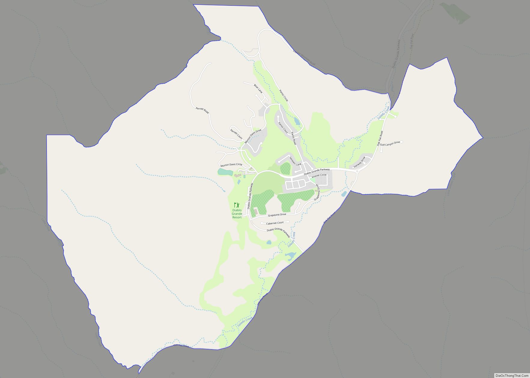
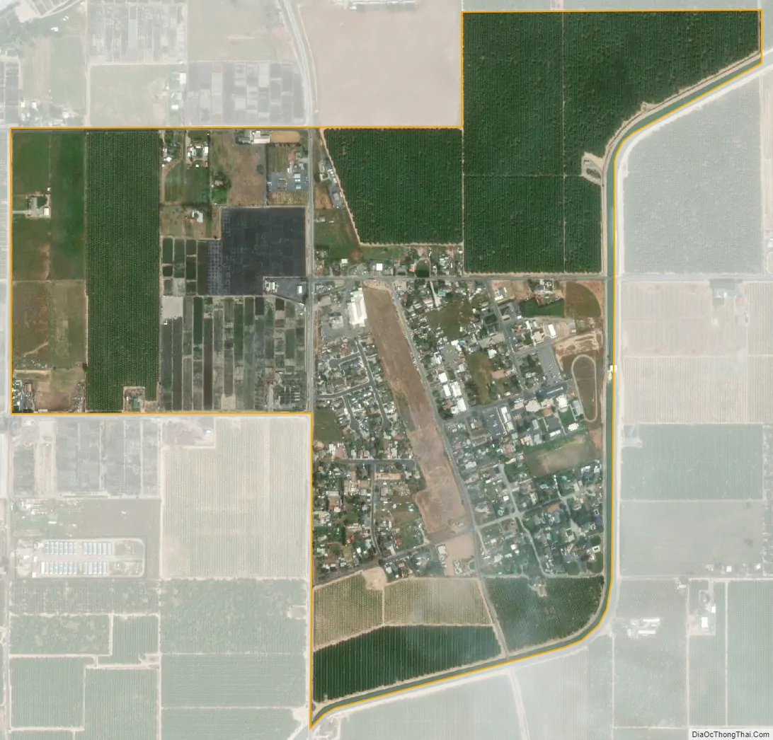
Hickman city Satellite Map
Geography
Hickman is located at 37°37′27″N 120°45′28″W / 37.62417°N 120.75778°W / 37.62417; -120.75778 (37.624065, -120.757817).
According to the United States Census Bureau, the CDP has a total area of 1.1 square miles (2.8 km), 99.21% of it land and 0.79% of it water.
See also
Map of California State and its subdivision:- Alameda
- Alpine
- Amador
- Butte
- Calaveras
- Colusa
- Contra Costa
- Del Norte
- El Dorado
- Fresno
- Glenn
- Humboldt
- Imperial
- Inyo
- Kern
- Kings
- Lake
- Lassen
- Los Angeles
- Madera
- Marin
- Mariposa
- Mendocino
- Merced
- Modoc
- Mono
- Monterey
- Napa
- Nevada
- Orange
- Placer
- Plumas
- Riverside
- Sacramento
- San Benito
- San Bernardino
- San Diego
- San Francisco
- San Joaquin
- San Luis Obispo
- San Mateo
- Santa Barbara
- Santa Clara
- Santa Cruz
- Shasta
- Sierra
- Siskiyou
- Solano
- Sonoma
- Stanislaus
- Sutter
- Tehama
- Trinity
- Tulare
- Tuolumne
- Ventura
- Yolo
- Yuba
- Alabama
- Alaska
- Arizona
- Arkansas
- California
- Colorado
- Connecticut
- Delaware
- District of Columbia
- Florida
- Georgia
- Hawaii
- Idaho
- Illinois
- Indiana
- Iowa
- Kansas
- Kentucky
- Louisiana
- Maine
- Maryland
- Massachusetts
- Michigan
- Minnesota
- Mississippi
- Missouri
- Montana
- Nebraska
- Nevada
- New Hampshire
- New Jersey
- New Mexico
- New York
- North Carolina
- North Dakota
- Ohio
- Oklahoma
- Oregon
- Pennsylvania
- Rhode Island
- South Carolina
- South Dakota
- Tennessee
- Texas
- Utah
- Vermont
- Virginia
- Washington
- West Virginia
- Wisconsin
- Wyoming