Hidden Hills is a city and gated community in the Santa Monica Mountains region of Los Angeles County, California. It is located next to the city of Calabasas. It is notable for being home to many actors and celebrities. The population was 1,725 at the 2020 census.
| Name: | Hidden Hills city |
|---|---|
| LSAD Code: | 25 |
| LSAD Description: | city (suffix) |
| State: | California |
| County: | Los Angeles County |
| Incorporated: | October 19, 1961 |
| Total Area: | 1.69 sq mi (4.38 km²) |
| Land Area: | 1.69 sq mi (4.38 km²) |
| Water Area: | 0.00 sq mi (0.00 km²) |
| Total Population: | 1,725 |
| Population Density: | 1,000/sq mi (390/km²) |
| ZIP code: | 91302 |
| FIPS code: | 0633518 |
| Website: | hiddenhillscity.org |
Online Interactive Map
Click on ![]() to view map in "full screen" mode.
to view map in "full screen" mode.
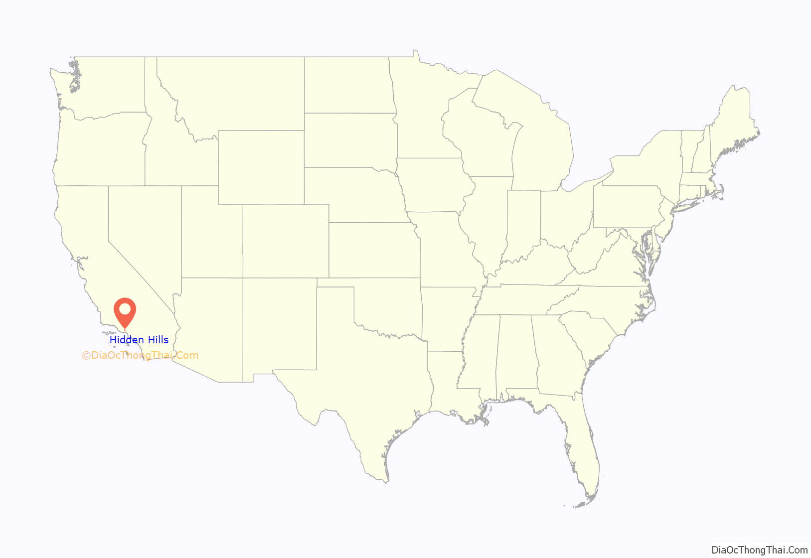
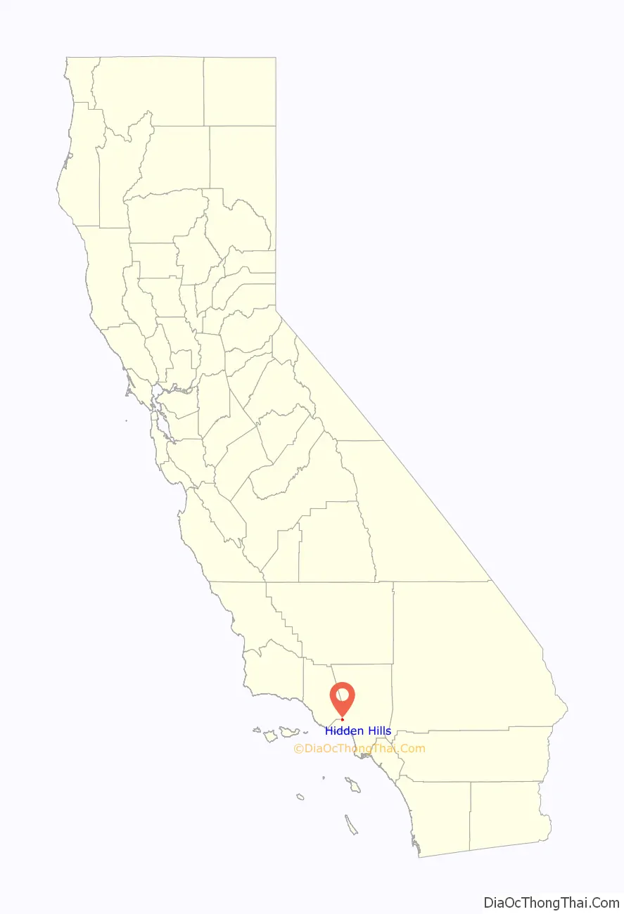
Hidden Hills location map. Where is Hidden Hills city?
History
The community was designed and developed in the 1950s by A. E. Hanson, a Southern California landscape architect and planned community developer. His earlier projects included Rolling Hills and Palos Verdes Estates, and the 1920s Beverly Hills Harold Lloyd Estate “Greenacres”.
Vanity Fair described the city in 2017:
Hidden Hills Road Map

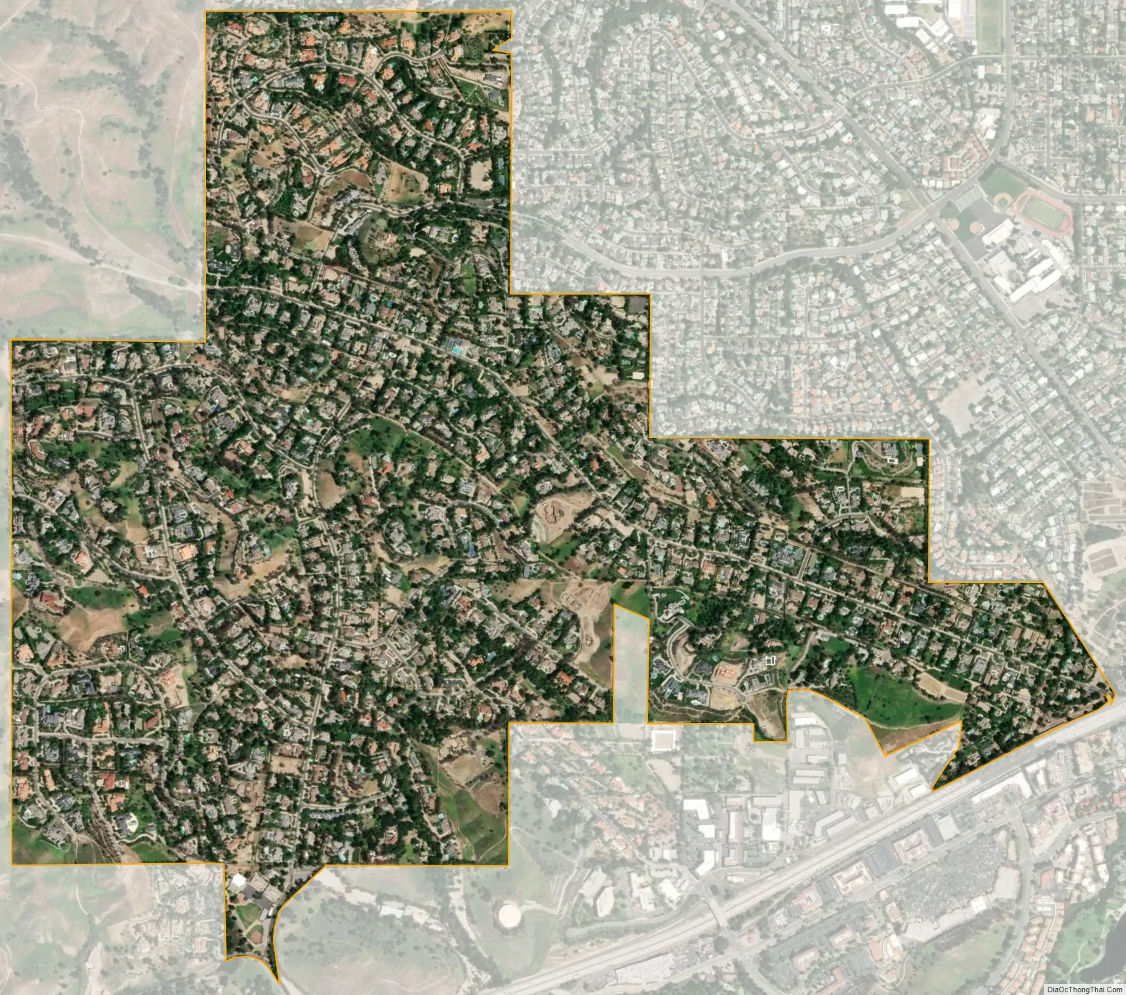
Hidden Hills city Satellite Map
Geography
It is a gated residential community with a total area of 1.7 square miles (4.4 km), all land.
Hidden Hills is in the southern Simi Hills Transverse range near the Santa Monica Mountains on the western edge of San Fernando Valley, near the border with neighboring Ventura County.
Hidden Hills is bordered on the north by the nature reserve and greenbelt of the Upper Las Virgenes Canyon Open Space Preserve, a park with miles of equestrian, hiking, and mountain biking trails. Nearby to the south, is the pioneer Leonis Adobe National Historic Landmark, with gardens and a historical museum. It’s across El Camino Real of the Spanish Las Californias and Mexican Alta California eras, now U.S. Route 101, also called the Ventura Freeway in that area south of Hidden Hills.
Climate
See also
Map of California State and its subdivision:- Alameda
- Alpine
- Amador
- Butte
- Calaveras
- Colusa
- Contra Costa
- Del Norte
- El Dorado
- Fresno
- Glenn
- Humboldt
- Imperial
- Inyo
- Kern
- Kings
- Lake
- Lassen
- Los Angeles
- Madera
- Marin
- Mariposa
- Mendocino
- Merced
- Modoc
- Mono
- Monterey
- Napa
- Nevada
- Orange
- Placer
- Plumas
- Riverside
- Sacramento
- San Benito
- San Bernardino
- San Diego
- San Francisco
- San Joaquin
- San Luis Obispo
- San Mateo
- Santa Barbara
- Santa Clara
- Santa Cruz
- Shasta
- Sierra
- Siskiyou
- Solano
- Sonoma
- Stanislaus
- Sutter
- Tehama
- Trinity
- Tulare
- Tuolumne
- Ventura
- Yolo
- Yuba
- Alabama
- Alaska
- Arizona
- Arkansas
- California
- Colorado
- Connecticut
- Delaware
- District of Columbia
- Florida
- Georgia
- Hawaii
- Idaho
- Illinois
- Indiana
- Iowa
- Kansas
- Kentucky
- Louisiana
- Maine
- Maryland
- Massachusetts
- Michigan
- Minnesota
- Mississippi
- Missouri
- Montana
- Nebraska
- Nevada
- New Hampshire
- New Jersey
- New Mexico
- New York
- North Carolina
- North Dakota
- Ohio
- Oklahoma
- Oregon
- Pennsylvania
- Rhode Island
- South Carolina
- South Dakota
- Tennessee
- Texas
- Utah
- Vermont
- Virginia
- Washington
- West Virginia
- Wisconsin
- Wyoming


