Calabasas is a city in the southwestern region of the San Fernando Valley in Los Angeles County, California, United States. Situated between the foothills of the Santa Monica and Santa Susana mountains, 29.9 miles (48.1 km) northwest of downtown Los Angeles, Calabasas has a population of 23,241 (as of 1 April 2020).
| Name: | Calabasas city |
|---|---|
| LSAD Code: | 25 |
| LSAD Description: | city (suffix) |
| State: | California |
| County: | Los Angeles County |
| Incorporated: | April 5, 1991 |
| Elevation: | 928 ft (283 m) |
| Total Area: | 13.74 sq mi (35.59 km²) |
| Land Area: | 13.71 sq mi (35.50 km²) |
| Water Area: | 0.04 sq mi (0.09 km²) 0.38% |
| Total Population: | 23,241 |
| Population Density: | 1,695.43/sq mi (654.63/km²) |
| ZIP code: | 91301, 91302 |
| Area code: | 747 and 818 |
| FIPS code: | 0609598 |
| Website: | www.cityofcalabasas.com |
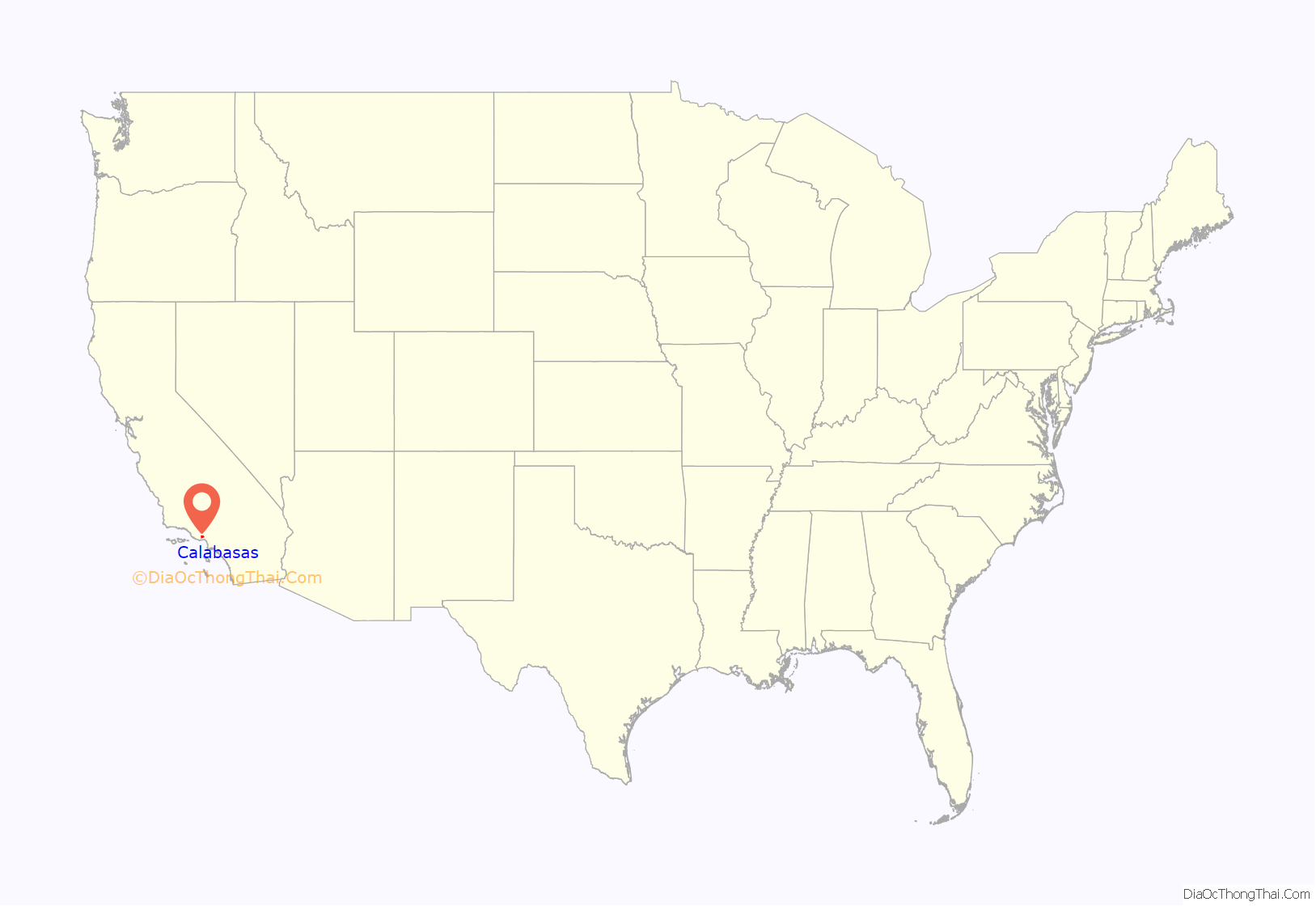
Online Interactive Map
Click on ![]() to view map in "full screen" mode.
to view map in "full screen" mode.
Calabasas location map. Where is Calabasas city?

History
Centuries ago, Chumash Native Americans lived in the area that is now Calabasas. Spanish explorers were the first Europeans to arrive in the area. In 1770, an expedition headed by Gaspar de Portolá crossed through the area on their return southward to Mexico after venturing into Northern California. In 1776, another party of explorers led by Juan Bautista de Anza camped there on their way northward from Mexico.
Calabasas was the name given to a ranchería in the Los Angeles area in 1795. The Leonis Adobe, an adobe structure in Old Town Calabasas, dates from 1844 and is one of the oldest surviving buildings in greater Los Angeles. The city was incorporated on April 5, 1991, making it the newest city in Los Angeles County.
On January 26, 2020, a Sikorsky S-76 helicopter crashed in Calabasas after an earlier takeoff from John Wayne Airport. All nine people on board, including Hall of Fame basketball player Kobe Bryant and his 13-year-old daughter Gianna, were killed.
Calabasas Road Map
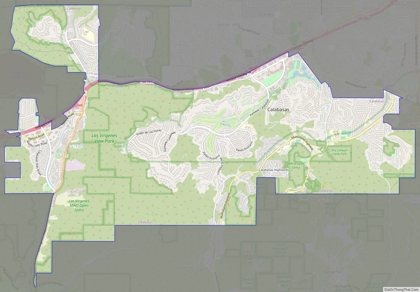
Calabasas city Satellite Map

Geography
Calabasas is situated in the southwestern region of the San Fernando Valley, between the foothills of the Santa Monica and Santa Susana mountains. It is 29.9 miles (48.1 km) northwest of downtown Los Angeles (via US 101). The city is bordered by the Woodland Hills neighborhood of Los Angeles to the northeast, Topanga to the east, Malibu to the south, Agoura Hills to the west, and Hidden Hills to the north. The commemorative El Camino Real runs east–west through Calabasas as the Ventura Freeway (US 101).
The city has a total area of 13.6 square miles (35 km).
One of the oldest neighborhoods in Calabasas is Park Moderne, or the “Bird Streets”. A former artists’ colony, remnants remain of the club house, pool, and cabins scattered across streets with bird names, such as Meadow Lark, Blackbird, Bluebird, and Hummingbird located right behind Calabasas High School.
Climate
Calabasas has a hot-summer Mediterranean climate with mild, relatively wet winters and hot, dry summers.
See also
Map of California State and its subdivision:- Alameda
- Alpine
- Amador
- Butte
- Calaveras
- Colusa
- Contra Costa
- Del Norte
- El Dorado
- Fresno
- Glenn
- Humboldt
- Imperial
- Inyo
- Kern
- Kings
- Lake
- Lassen
- Los Angeles
- Madera
- Marin
- Mariposa
- Mendocino
- Merced
- Modoc
- Mono
- Monterey
- Napa
- Nevada
- Orange
- Placer
- Plumas
- Riverside
- Sacramento
- San Benito
- San Bernardino
- San Diego
- San Francisco
- San Joaquin
- San Luis Obispo
- San Mateo
- Santa Barbara
- Santa Clara
- Santa Cruz
- Shasta
- Sierra
- Siskiyou
- Solano
- Sonoma
- Stanislaus
- Sutter
- Tehama
- Trinity
- Tulare
- Tuolumne
- Ventura
- Yolo
- Yuba
- Alabama
- Alaska
- Arizona
- Arkansas
- California
- Colorado
- Connecticut
- Delaware
- District of Columbia
- Florida
- Georgia
- Hawaii
- Idaho
- Illinois
- Indiana
- Iowa
- Kansas
- Kentucky
- Louisiana
- Maine
- Maryland
- Massachusetts
- Michigan
- Minnesota
- Mississippi
- Missouri
- Montana
- Nebraska
- Nevada
- New Hampshire
- New Jersey
- New Mexico
- New York
- North Carolina
- North Dakota
- Ohio
- Oklahoma
- Oregon
- Pennsylvania
- Rhode Island
- South Carolina
- South Dakota
- Tennessee
- Texas
- Utah
- Vermont
- Virginia
- Washington
- West Virginia
- Wisconsin
- Wyoming


