Honcut (formerly, Moores Station) is a census-designated place in Butte County, California. It lies at an elevation of 108 feet (33 m). Lower Honcut Rd. links the community to California State Route 70. Honcut is near the Yuba County line. Honcut’s post office was established in 1856 and moved back and forth several times between Butte and Yuba Counties, before being closed for good in 1943. Moores Station (named for John C. Moore, first postmaster) post office was opened in 1869, closed in 1875, reopened in 1876, and closed for good in 1892. Honcut’s population was 370 at the 2010 census.
| Name: | Honcut CDP |
|---|---|
| LSAD Code: | 57 |
| LSAD Description: | CDP (suffix) |
| State: | California |
| County: | Butte County |
| Elevation: | 108 ft (33 m) |
| Total Area: | 4.237 sq mi (10.973 km²) |
| Land Area: | 4.237 sq mi (10.973 km²) |
| Water Area: | 0 sq mi (0 km²) 0% |
| Total Population: | 370 |
| Population Density: | 87/sq mi (34/km²) |
| ZIP code: | 95965 |
| Area code: | 530 |
| FIPS code: | 0634428 |
Online Interactive Map
Click on ![]() to view map in "full screen" mode.
to view map in "full screen" mode.
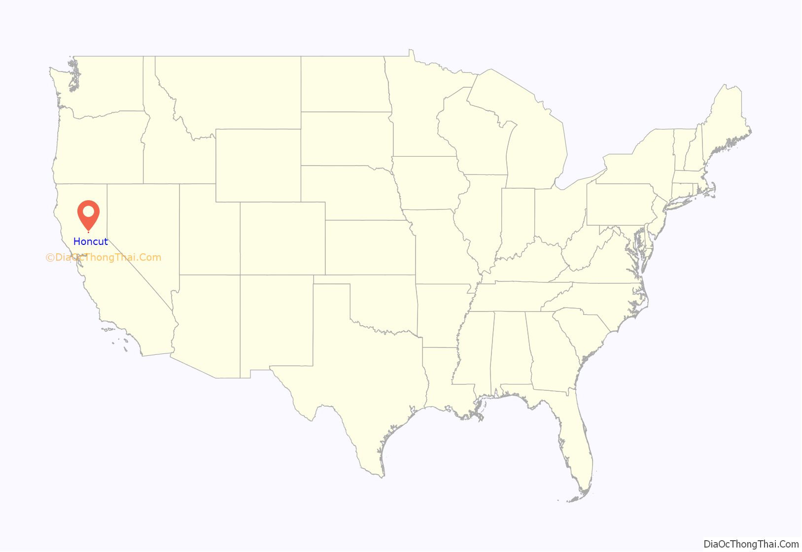
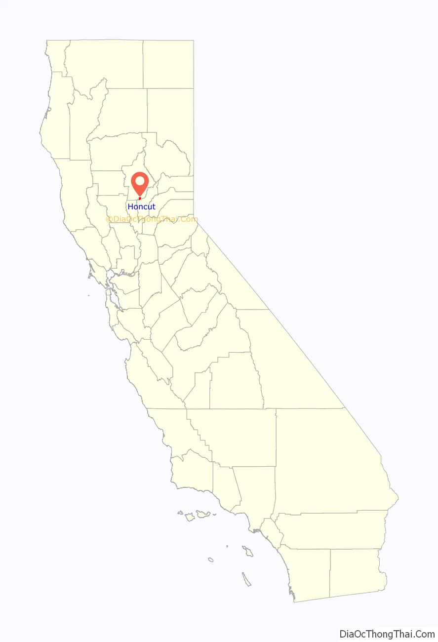
Honcut location map. Where is Honcut CDP?
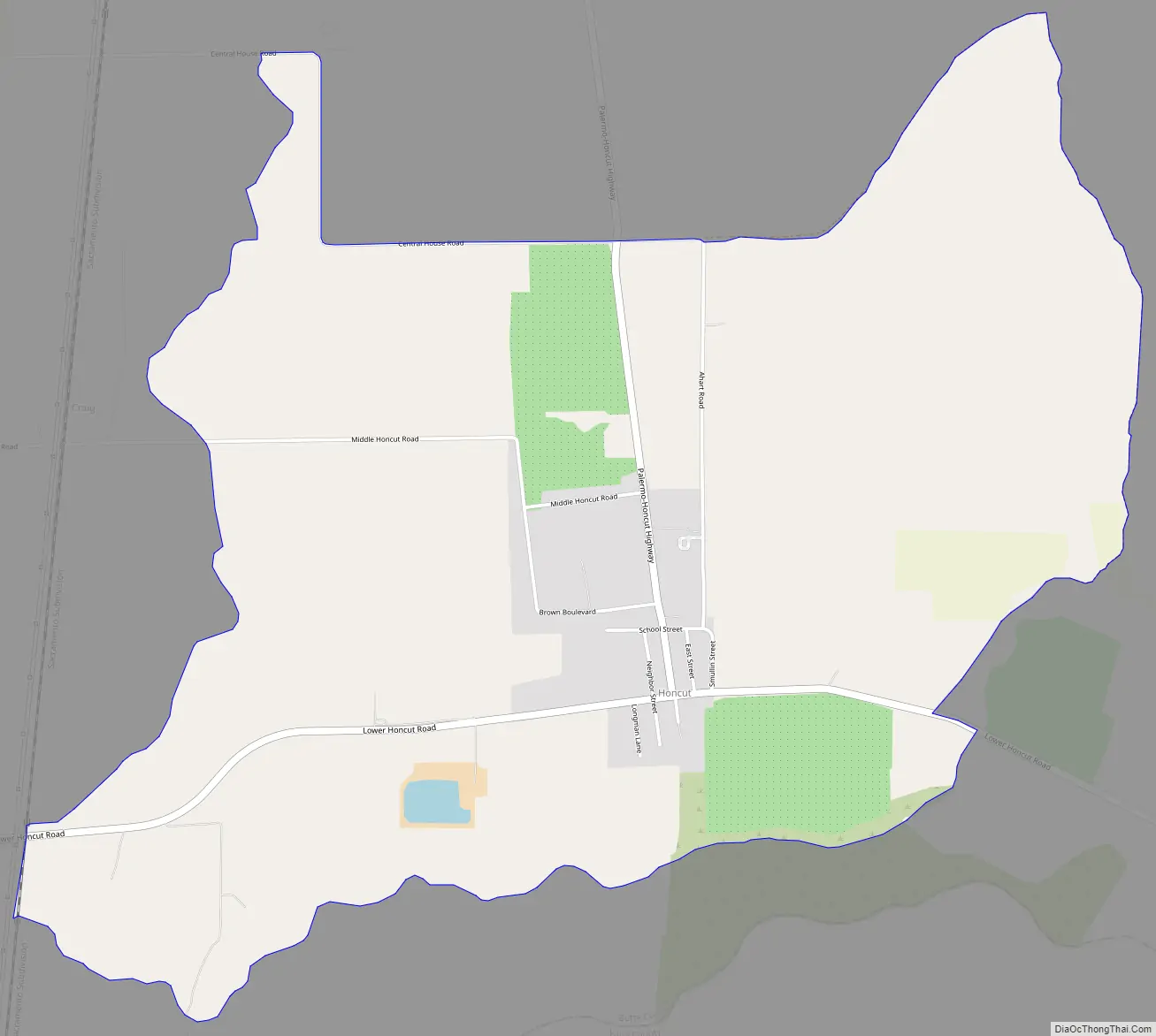
Honcut Road Map
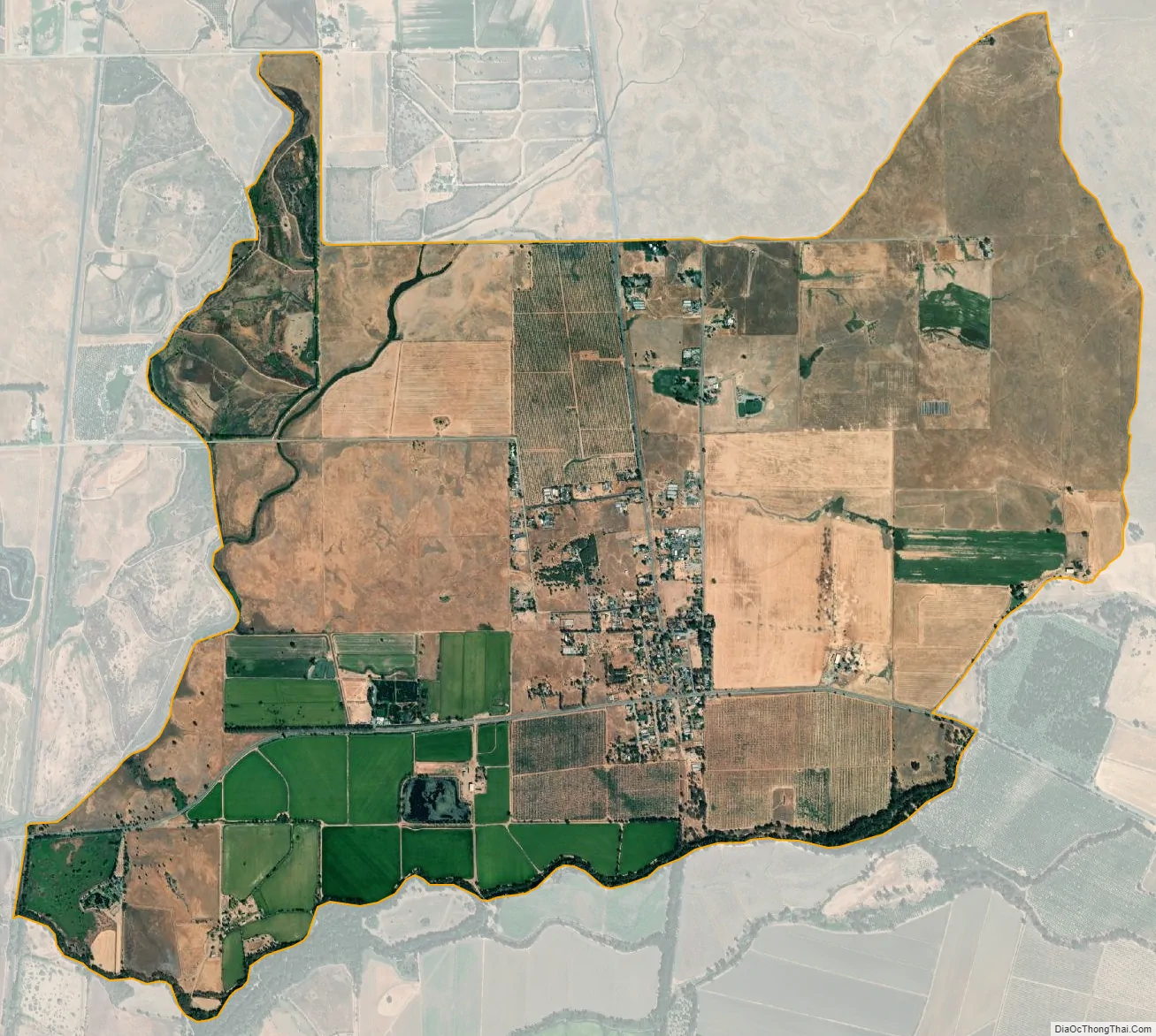
Honcut city Satellite Map
See also
Map of California State and its subdivision:- Alameda
- Alpine
- Amador
- Butte
- Calaveras
- Colusa
- Contra Costa
- Del Norte
- El Dorado
- Fresno
- Glenn
- Humboldt
- Imperial
- Inyo
- Kern
- Kings
- Lake
- Lassen
- Los Angeles
- Madera
- Marin
- Mariposa
- Mendocino
- Merced
- Modoc
- Mono
- Monterey
- Napa
- Nevada
- Orange
- Placer
- Plumas
- Riverside
- Sacramento
- San Benito
- San Bernardino
- San Diego
- San Francisco
- San Joaquin
- San Luis Obispo
- San Mateo
- Santa Barbara
- Santa Clara
- Santa Cruz
- Shasta
- Sierra
- Siskiyou
- Solano
- Sonoma
- Stanislaus
- Sutter
- Tehama
- Trinity
- Tulare
- Tuolumne
- Ventura
- Yolo
- Yuba
- Alabama
- Alaska
- Arizona
- Arkansas
- California
- Colorado
- Connecticut
- Delaware
- District of Columbia
- Florida
- Georgia
- Hawaii
- Idaho
- Illinois
- Indiana
- Iowa
- Kansas
- Kentucky
- Louisiana
- Maine
- Maryland
- Massachusetts
- Michigan
- Minnesota
- Mississippi
- Missouri
- Montana
- Nebraska
- Nevada
- New Hampshire
- New Jersey
- New Mexico
- New York
- North Carolina
- North Dakota
- Ohio
- Oklahoma
- Oregon
- Pennsylvania
- Rhode Island
- South Carolina
- South Dakota
- Tennessee
- Texas
- Utah
- Vermont
- Virginia
- Washington
- West Virginia
- Wisconsin
- Wyoming


