Knightsen is a census-designated place (CDP) in Contra Costa County, California, in the United States. As of the 2010 census, the CDP population was 1,568, up from 861 reported in the 2000 census.
| Name: | Knightsen CDP |
|---|---|
| LSAD Code: | 57 |
| LSAD Description: | CDP (suffix) |
| State: | California |
| County: | Contra Costa County |
| Elevation: | 30 ft (9 m) |
| Total Area: | 8.455 sq mi (21.899 km²) |
| Land Area: | 8.366 sq mi (21.669 km²) |
| Water Area: | 0.089 sq mi (0.230 km²) 1.05% |
| Total Population: | 1,568 |
| Population Density: | 190/sq mi (72/km²) |
| ZIP code: | 94548 |
| Area code: | 925 |
| FIPS code: | 0638772 |
Online Interactive Map
Click on ![]() to view map in "full screen" mode.
to view map in "full screen" mode.
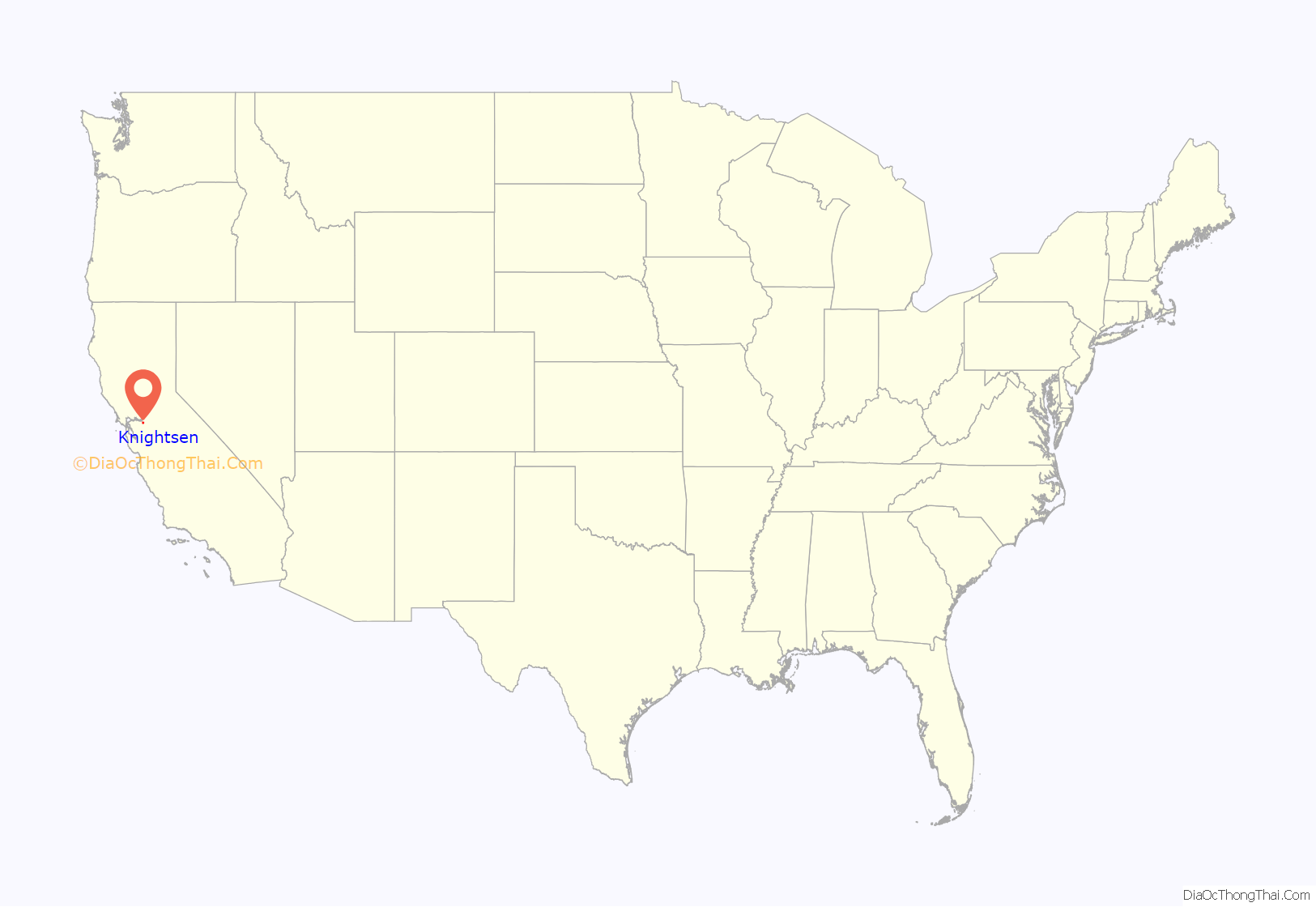
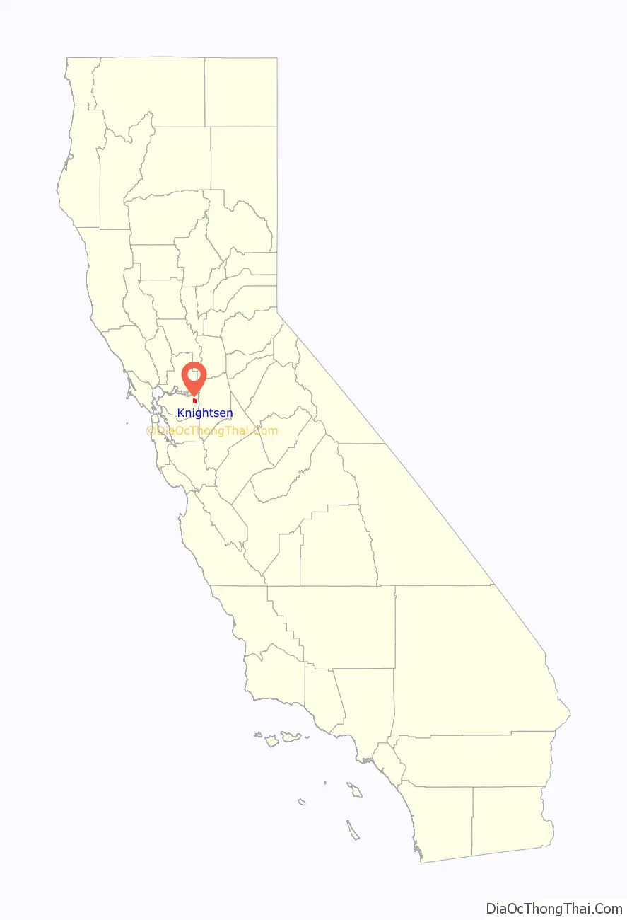
Knightsen location map. Where is Knightsen CDP?
History
Knightsen, California is a small unincorporated community of 1,568 residents and 1,500 horses in far eastern Contra Costa County, California in the eastern San Francisco Bay Area closest to Oakley, California. The community was founded by George W. Knight, and its name is a portmanteau of his last name and his wife (Christina Christensen). Knightsen has the oldest chapter of the 4-H Club in California. The community worries about urban sprawl from expanding development in neighboring Oakley. However, a significant portion of the community lies within the agricultural conservation zone in the Brentwood, California, general plan.
During the 1880s, settlers began moving in and planting the first almond trees in the area. A few dairies also sprang up. Other crops, such as apricots, grapes and alfalfa were also planted. Until the railroad was built, farmers shipped their produce via water, using Babbes Landing off Dutch Slough, near the north end of what is now Sellers Avenue.
Knightsen was founded in 1898, when the Atchison Topeka and Santa Fe Railroad (Santa Fe Railway) was planning to lay a track through the area to reach Stockton, California. According to local historian, Kathy Leighton, the railroad wanted to name the community Meganos, commemorating the nearby ranch owned by Doctor John Marsh. Local settlers wanted to keep the name Knightsen. Through correspondence with officials in Washington, D.C., a post office named Knightsen was established before the railroad was complete, and George Knight was named first postmaster in mid-1899. He immediately constructed the first retail store in Knightsen, a grocery, in which he could also locate the post office, which opened in 1900.
The first buildings in Knightsen were a station house, a railroad station and a pumping plant, all belonging to the Santa Fe. After Knight’s grocery, came the Lyon Brothers asparagus plant, which could ship two to four carloads of asparagus per day during the harvest season. The railroad made shipping crops much easier. Soon, six dairies were shipping an average of 2,500 U.S. gallons (9,500 L) of milk per day. During the 1920s, Knightsen was one of the largest milk shipping points in California.
Voters approved forming the Knightsen Irrigation District in 1920 to provide water to 10,000 acres (40,000,000 m) of farmland. The cost of the project then was $650,000. Even before the project was completed, the district was absorbed by the East Contra Costa Water District. The change from dry farming to irrigation brought other notable changes. The Knightsen Farm Bureau was organized in 1918. It built a hall in 1922 that has since been used for school graduations, dances, weddings, political functions, school plays, holiday celebrations, church services, a safe haven for flood victims and an endless list of other events. John N. Kristich, a pipe manufacturer from King City, California decided to build a plant for manufacturing concrete pipe in Knightsen. His firm became one of the largest producers of concrete pipe in California during the 1920s.
Knightsen has remained primarily a farming community, growing such foods as almonds, walnuts, sunflower seeds, etc. It still contains a few U-pick vegetable/fruit stands. Knightsen now is home to many horse ranches. One report even indicated that the community housed nearly as many horses (1500) as people (1568).
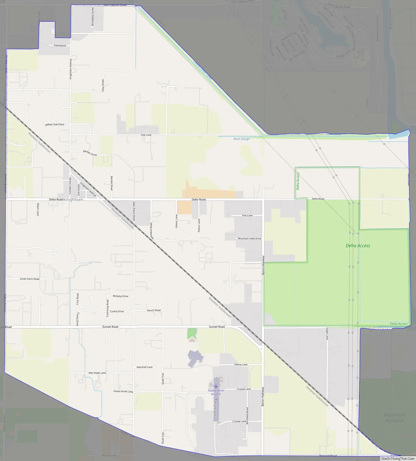
Knightsen Road Map
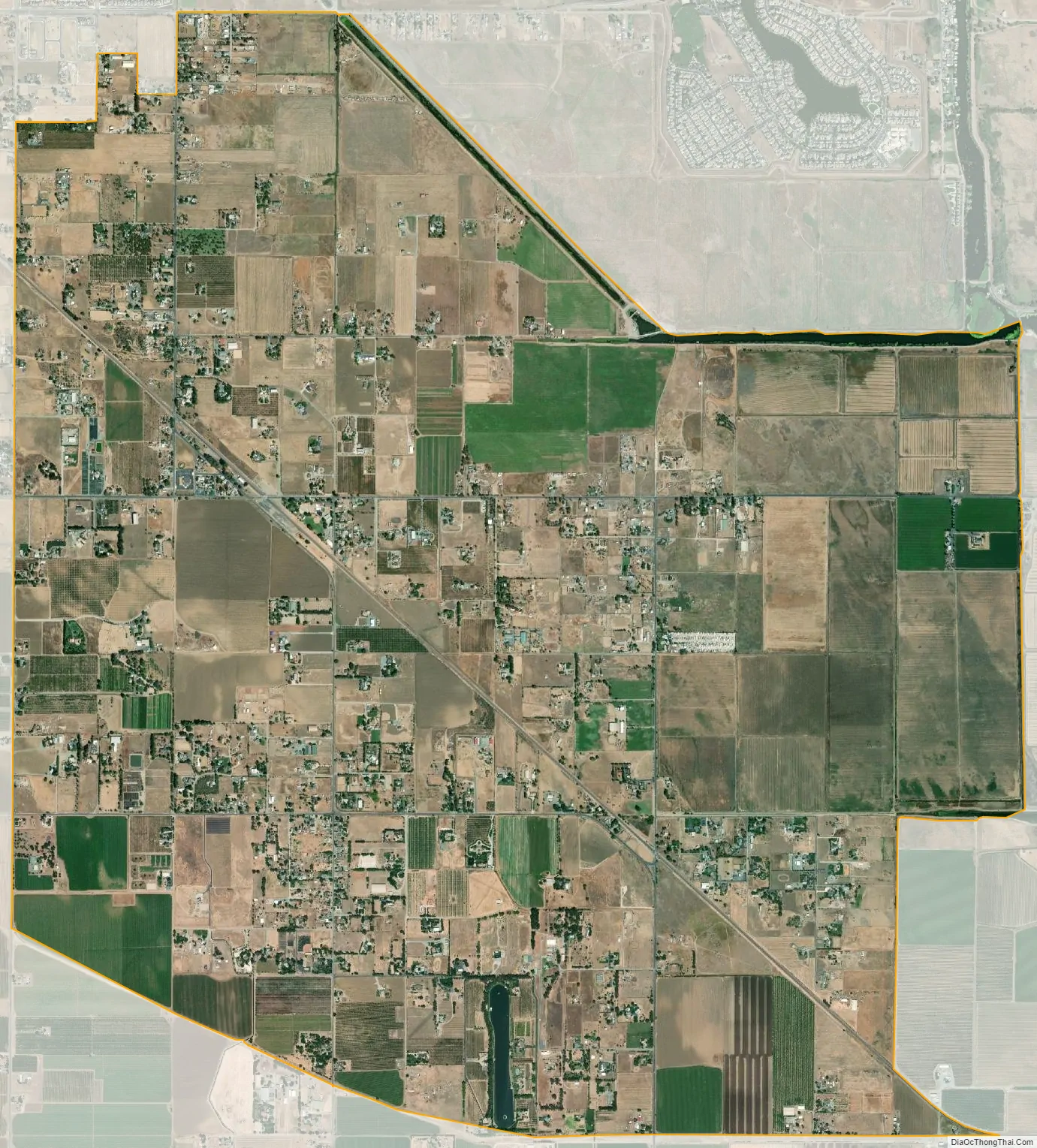
Knightsen city Satellite Map
Geography
According to the United States Census Bureau, the CDP has a total area of 8.5 square miles (22 km), 99% of it land.
See also
Map of California State and its subdivision:- Alameda
- Alpine
- Amador
- Butte
- Calaveras
- Colusa
- Contra Costa
- Del Norte
- El Dorado
- Fresno
- Glenn
- Humboldt
- Imperial
- Inyo
- Kern
- Kings
- Lake
- Lassen
- Los Angeles
- Madera
- Marin
- Mariposa
- Mendocino
- Merced
- Modoc
- Mono
- Monterey
- Napa
- Nevada
- Orange
- Placer
- Plumas
- Riverside
- Sacramento
- San Benito
- San Bernardino
- San Diego
- San Francisco
- San Joaquin
- San Luis Obispo
- San Mateo
- Santa Barbara
- Santa Clara
- Santa Cruz
- Shasta
- Sierra
- Siskiyou
- Solano
- Sonoma
- Stanislaus
- Sutter
- Tehama
- Trinity
- Tulare
- Tuolumne
- Ventura
- Yolo
- Yuba
- Alabama
- Alaska
- Arizona
- Arkansas
- California
- Colorado
- Connecticut
- Delaware
- District of Columbia
- Florida
- Georgia
- Hawaii
- Idaho
- Illinois
- Indiana
- Iowa
- Kansas
- Kentucky
- Louisiana
- Maine
- Maryland
- Massachusetts
- Michigan
- Minnesota
- Mississippi
- Missouri
- Montana
- Nebraska
- Nevada
- New Hampshire
- New Jersey
- New Mexico
- New York
- North Carolina
- North Dakota
- Ohio
- Oklahoma
- Oregon
- Pennsylvania
- Rhode Island
- South Carolina
- South Dakota
- Tennessee
- Texas
- Utah
- Vermont
- Virginia
- Washington
- West Virginia
- Wisconsin
- Wyoming


