La Crescenta-Montrose (pronunciation) is an unincorporated area in Los Angeles County, California, United States. The community is bordered by Glendale to the south and west, La Cañada Flintridge to the east, and Angeles National Forest to the north. According to the United States Census Bureau, the La Crescenta-Montrose Census-Designated Place (CDP) measures about 3.4 square miles (8.8 km), and the population was 19,997 at the 2020 census, up from 19,653 in 2010 and 18,532 in 2000.
| Name: | La Crescenta-Montrose CDP |
|---|---|
| LSAD Code: | 57 |
| LSAD Description: | CDP (suffix) |
| State: | California |
| County: | Los Angeles County |
| Elevation: | 1,540 ft (469.392 m) |
| Total Area: | 3.437 sq mi (8.902 km²) |
| Land Area: | 3.426 sq mi (8.873 km²) |
| Water Area: | 0.011 sq mi (0.029 km²) 0.32% |
| Total Population: | 19,653 |
| Population Density: | 5,700/sq mi (2,200/km²) |
| Area code: | 747 and 818 |
| FIPS code: | 0639045 |
Online Interactive Map
Click on ![]() to view map in "full screen" mode.
to view map in "full screen" mode.
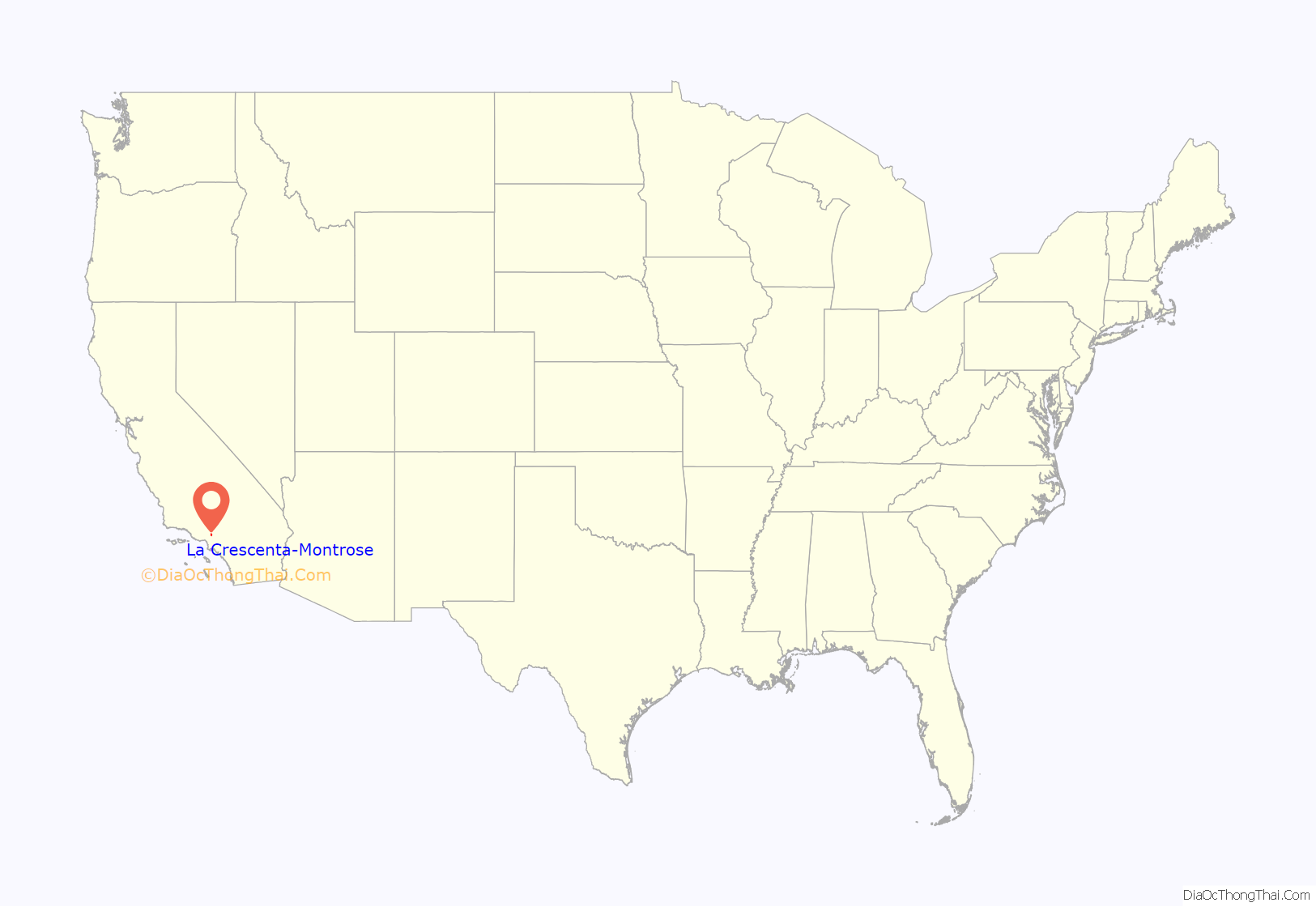
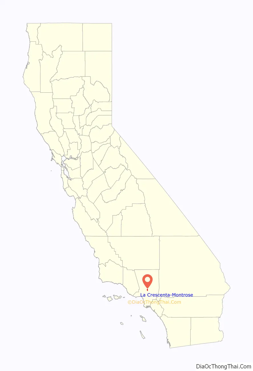
La Crescenta-Montrose location map. Where is La Crescenta-Montrose CDP?
History
The area is part of the homelands of the Tongva people. It became part of Rancho La Cañada, a Mexican land grant given in 1843 by Governor Manuel Micheltorena to a Mexican schoolteacher from Pueblo de Los Ángeles, Ygnacio Coronel (1795–1862).
La Crescenta does not mean “the crescent,” which in Spanish would be el creciente. From his home, early settler Benjamin B. Briggs “could see three crescent-shaped formations, which suggested to him the artificial name,” accepted by the U.S. Post Office in 1888. Montrose was chosen “as the result of a contest for the subdivision established in 1913 on part of the La Crescenta development.
The Great Flood of 1934
In November 1933, wildfires raged through the nearby San Gabriel mountains above the communities of La Crescenta, La Cañada and Montrose. During the last week of December of that year, a series of winter storms pounded the mountainside with 12 inches (300 mm) of rain. On New Year’s Eve, more heavy rains led to sporadic flooding.
Around midnight, hillsides in at least three mountain locations collapsed sending millions of tons of mud and debris into the Crescenta Valley neighborhoods below.
More than 400 homes were destroyed in La Cañada, La Crescenta, Montrose and Tujunga. Scores of people were killed, and hundreds were left homeless. Entire families were wiped out. The mudslides that began in the mountains above La Cañada and La Crescenta carved a path of destruction all the way to the Verdugo Wash and beyond.
Some Montrose residents sought shelter from flooding at American Legion Post 288, which was destroyed, killing 12.
Parts of Foothill Boulevard were buried under 12 feet (4 m) of mud, boulders and debris. The mud was deep enough to bury cars completely on Montrose Avenue. Miles of Honolulu Boulevard were inundated by several feet of sand and silt.
Two notable victims of the flood were silent-era identical-twin child actors Winston and Weston Doty, who died at the age of 19.
Following the disaster, the U.S. Army Corps of Engineers and the County of Los Angeles built a flood control system of catch basins and concrete storm drains, designed to prevent a repeat of the 1934 disaster.
The flood was commemorated in Woody Guthrie’s song “Los Angeles New Year’s Flood”. To honor the victims of that New Year’s calamity and to mark its 75th anniversary, a small monument was dedicated January 1, 2004, at Rosemont and Fairway avenues in Montrose, near where the American Legion Hall had stood.
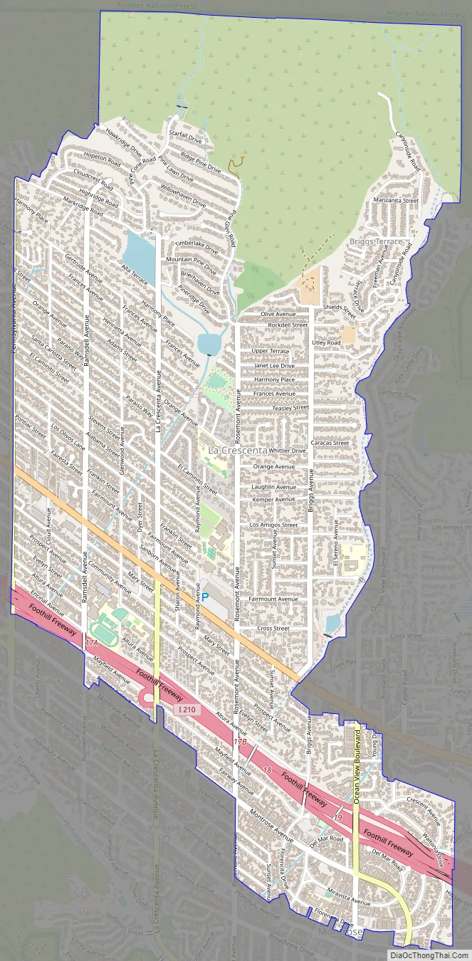
La Crescenta-Montrose Road Map
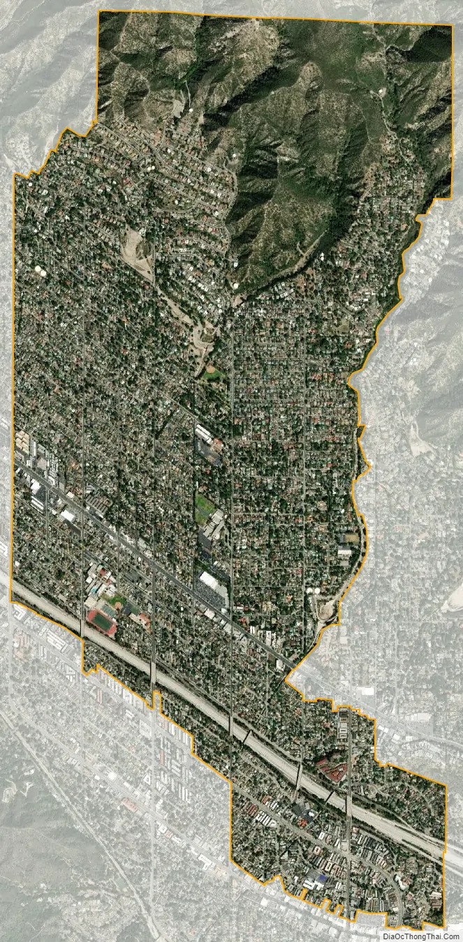
La Crescenta-Montrose city Satellite Map
Geography
La Crescenta-Montrose encompasses those parts of the Crescenta Valley, northwestern San Rafael Hills, and northeastern Verdugo Mountains not within the cities of Glendale or La Cañada Flintridge. For statistical purposes, the United States Census Bureau has defined La Crescenta-Montrose as a CDP.
La Crescenta-Montrose is bordered on the north by the San Gabriel Mountains and Angeles National Forest, on the east by La Cañada Flintridge, on the south by the Verdugo Mountains and central Glendale, and the northwest by the Sunland-Tujunga community of Los Angeles. The Foothill Freeway (I-210) runs through the southern portion of the area.
See also
Map of California State and its subdivision:- Alameda
- Alpine
- Amador
- Butte
- Calaveras
- Colusa
- Contra Costa
- Del Norte
- El Dorado
- Fresno
- Glenn
- Humboldt
- Imperial
- Inyo
- Kern
- Kings
- Lake
- Lassen
- Los Angeles
- Madera
- Marin
- Mariposa
- Mendocino
- Merced
- Modoc
- Mono
- Monterey
- Napa
- Nevada
- Orange
- Placer
- Plumas
- Riverside
- Sacramento
- San Benito
- San Bernardino
- San Diego
- San Francisco
- San Joaquin
- San Luis Obispo
- San Mateo
- Santa Barbara
- Santa Clara
- Santa Cruz
- Shasta
- Sierra
- Siskiyou
- Solano
- Sonoma
- Stanislaus
- Sutter
- Tehama
- Trinity
- Tulare
- Tuolumne
- Ventura
- Yolo
- Yuba
- Alabama
- Alaska
- Arizona
- Arkansas
- California
- Colorado
- Connecticut
- Delaware
- District of Columbia
- Florida
- Georgia
- Hawaii
- Idaho
- Illinois
- Indiana
- Iowa
- Kansas
- Kentucky
- Louisiana
- Maine
- Maryland
- Massachusetts
- Michigan
- Minnesota
- Mississippi
- Missouri
- Montana
- Nebraska
- Nevada
- New Hampshire
- New Jersey
- New Mexico
- New York
- North Carolina
- North Dakota
- Ohio
- Oklahoma
- Oregon
- Pennsylvania
- Rhode Island
- South Carolina
- South Dakota
- Tennessee
- Texas
- Utah
- Vermont
- Virginia
- Washington
- West Virginia
- Wisconsin
- Wyoming


