Ladera Heights is a community and unincorporated area in Los Angeles County, California. The population was 6,634 at the 2020 census. Culver City lies to its west, the Baldwin Hills neighborhood to its north, the View Park-Windsor Hills community to its east, the Westchester neighborhood to its south and southwest and the city of Inglewood to its southeast. With an average household income of $132,824, Ladera Heights ranks third amongst the ten wealthiest Black communities in the United States.
| Name: | Ladera Heights CDP |
|---|---|
| LSAD Code: | 57 |
| LSAD Description: | CDP (suffix) |
| State: | California |
| County: | Los Angeles County |
| Elevation: | 305 ft (93 m) |
| Total Area: | 2.966 sq mi (7.681 km²) |
| Land Area: | 2.966 sq mi (7.681 km²) |
| Water Area: | 0 sq mi (0 km²) 0% |
| Total Population: | 6,498 |
| Population Density: | 2,200/sq mi (850/km²) |
| ZIP code: | 90056 |
| Area code: | 310/424/323 |
| FIPS code: | 0639108 |
Online Interactive Map
Click on ![]() to view map in "full screen" mode.
to view map in "full screen" mode.
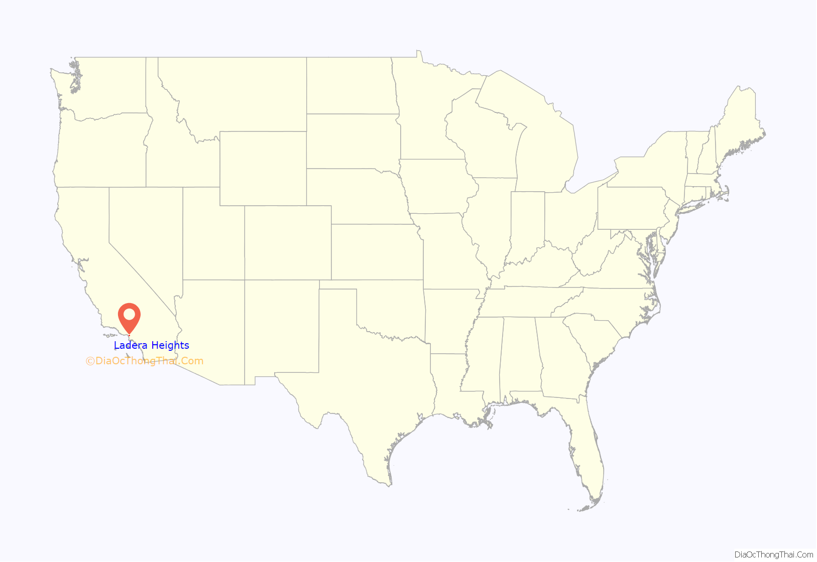
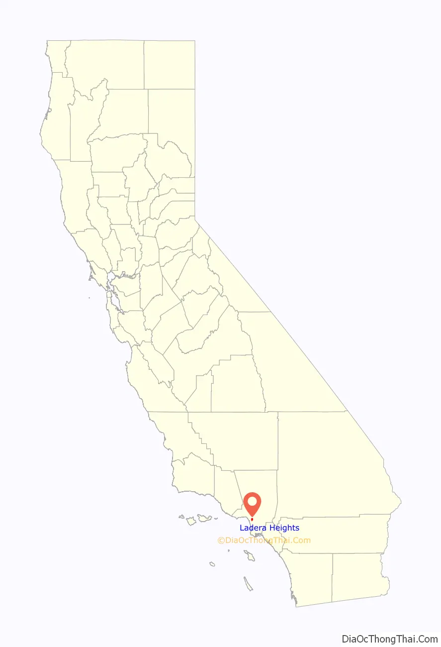
Ladera Heights location map. Where is Ladera Heights CDP?
History
Ladera Heights originated in the late 1940s with the development of “Old Ladera”. In the 1960s, custom homes were built in “New Ladera”. Prominent architect builders included Valentine and Gallant. Robert Earl, who designed many of the Valentine homes, went on to build large multimillion-dollar estates throughout Southern California and in other countries. Neighboring Fox Hills contained a golf course with rolling hills that backed up to Wooster Avenue. Valentine built Robert Earl designed homes on Wooster overlooking the Fox Hills golf course. Years later, Donald Trump asked Earl to design estate homes with panoramic views of his Palos Verdes golf course.
Baseball player Frank Robinson and other sports players began moving to Ladera Heights in the early 1970s. Many celebrities have lived in Ladera Heights over the years, including Peter Vidmar, Vanessa Williams, Chris Darden, Chris Strait, Lisa Leslie, Olympia Scott, Ken Norton, Arron Afflalo, Tyler, The Creator, Michael Cooper and Byron Scott. Ladera Heights is known as a residence for affluent African Americans.
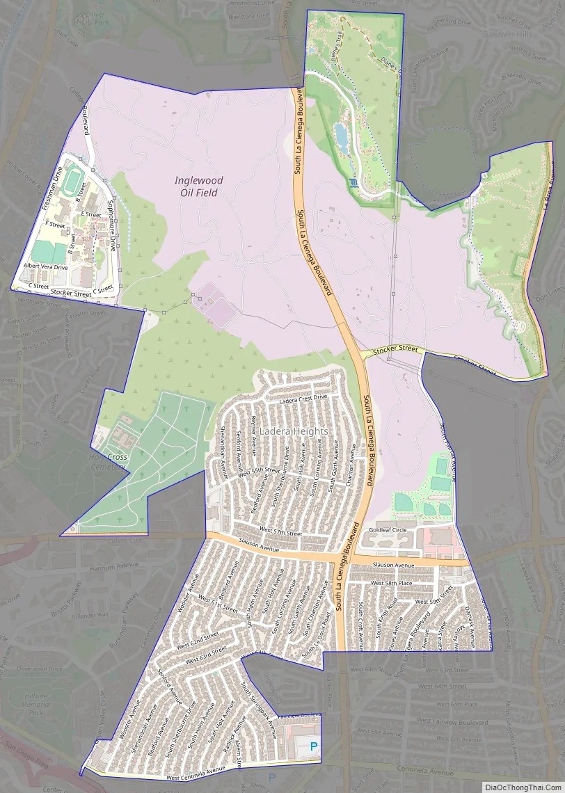
Ladera Heights Road Map
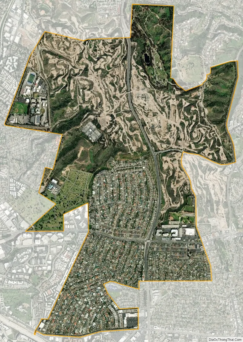
Ladera Heights city Satellite Map
Geography
According to the United States Census Bureau, the CDP has a total area of 3.0 square miles (7.8 km), all of it land.
Most of the area is in unincorporated Los Angeles County, with a small section in the neighborhood of Ladera, Los Angeles, within the City of Los Angeles.
Ladera Heights is portioned into three sections, known as “Upper Ladera,” “Lower Ladera” and “Old Ladera”. Upper Ladera includes all houses north of Slauson in between La Cienega Boulevard and Shenandoah Avenue, while Lower Ladera (the larger of the two) consists of all houses south of Slauson in between Wooster and La Cienega. Old Ladera is the small area just east of La Cienega and south of Slauson. The Ladera Center, located in Lower Ladera just west of La Cienega Boulevard, hosts a number of local franchise stores and eateries.
See also
Map of California State and its subdivision:- Alameda
- Alpine
- Amador
- Butte
- Calaveras
- Colusa
- Contra Costa
- Del Norte
- El Dorado
- Fresno
- Glenn
- Humboldt
- Imperial
- Inyo
- Kern
- Kings
- Lake
- Lassen
- Los Angeles
- Madera
- Marin
- Mariposa
- Mendocino
- Merced
- Modoc
- Mono
- Monterey
- Napa
- Nevada
- Orange
- Placer
- Plumas
- Riverside
- Sacramento
- San Benito
- San Bernardino
- San Diego
- San Francisco
- San Joaquin
- San Luis Obispo
- San Mateo
- Santa Barbara
- Santa Clara
- Santa Cruz
- Shasta
- Sierra
- Siskiyou
- Solano
- Sonoma
- Stanislaus
- Sutter
- Tehama
- Trinity
- Tulare
- Tuolumne
- Ventura
- Yolo
- Yuba
- Alabama
- Alaska
- Arizona
- Arkansas
- California
- Colorado
- Connecticut
- Delaware
- District of Columbia
- Florida
- Georgia
- Hawaii
- Idaho
- Illinois
- Indiana
- Iowa
- Kansas
- Kentucky
- Louisiana
- Maine
- Maryland
- Massachusetts
- Michigan
- Minnesota
- Mississippi
- Missouri
- Montana
- Nebraska
- Nevada
- New Hampshire
- New Jersey
- New Mexico
- New York
- North Carolina
- North Dakota
- Ohio
- Oklahoma
- Oregon
- Pennsylvania
- Rhode Island
- South Carolina
- South Dakota
- Tennessee
- Texas
- Utah
- Vermont
- Virginia
- Washington
- West Virginia
- Wisconsin
- Wyoming


