Lawndale is a city in Los Angeles County, California, United States. The population was 32,769 at the 2010 census, up from 31,712 according to the 2000 census. The city is in the South Bay region of the Greater Los Angeles Area.
| Name: | Lawndale city |
|---|---|
| LSAD Code: | 25 |
| LSAD Description: | city (suffix) |
| State: | California |
| County: | Los Angeles County |
| Incorporated: | December 28, 1959 |
| Elevation: | 59 ft (18 m) |
| Total Area: | 1.97 sq mi (5.11 km²) |
| Land Area: | 1.97 sq mi (5.11 km²) |
| Water Area: | 0.00 sq mi (0.00 km²) 0% |
| Total Population: | 32,769 |
| Population Density: | 16,407.80/sq mi (6,334.58/km²) |
| ZIP code: | 90260, 90261 |
| Area code: | 310/424 |
| FIPS code: | 0640886 |
| Website: | www.lawndalecity.org |
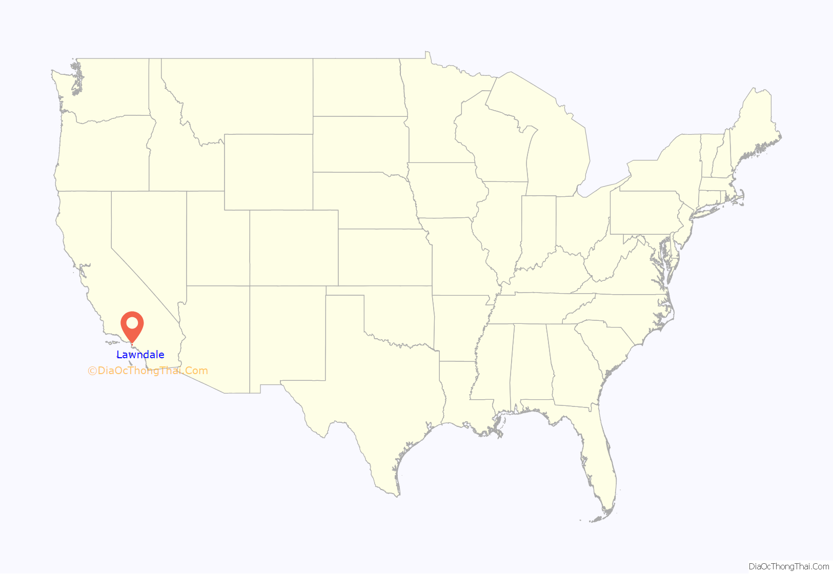
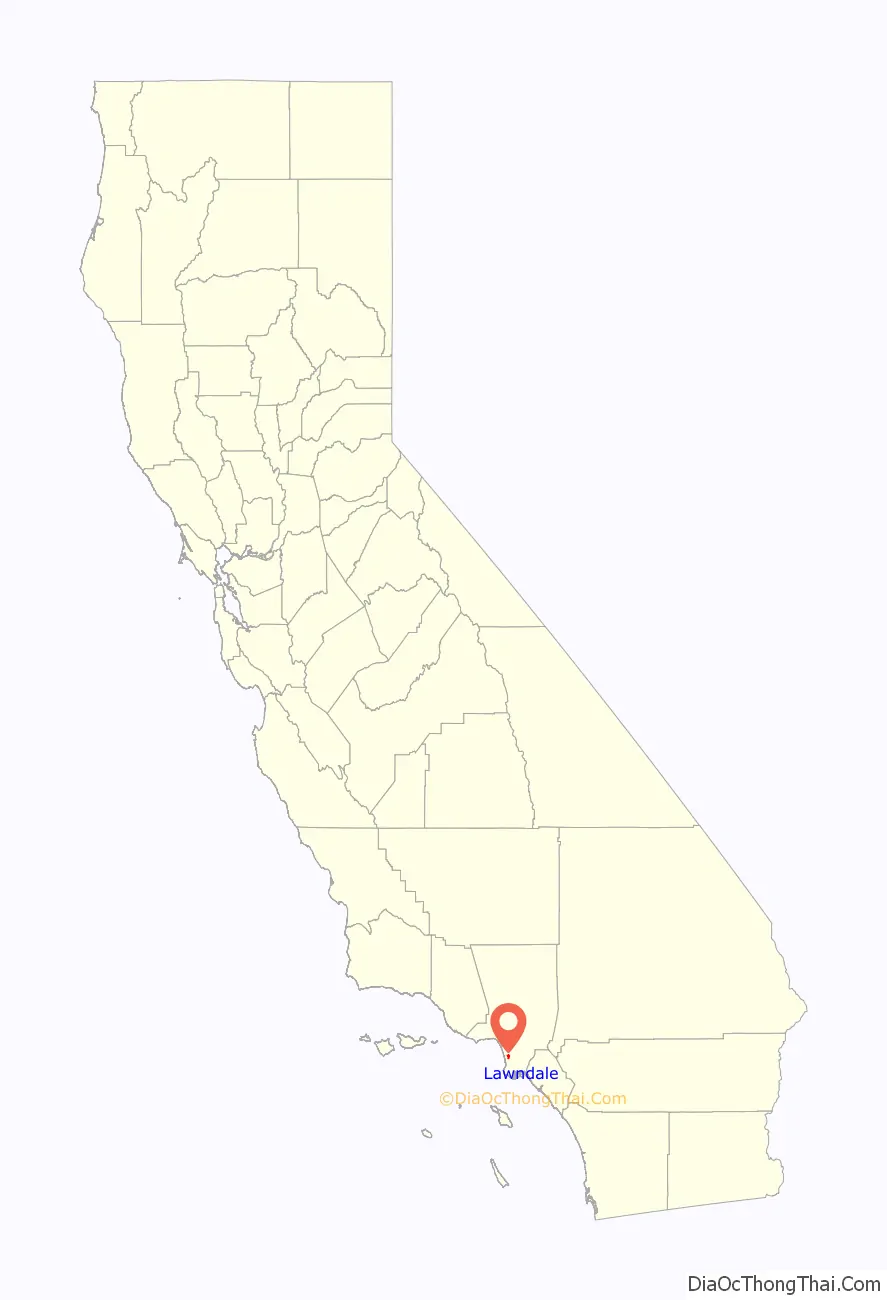
Online Interactive Map
Click on ![]() to view map in "full screen" mode.
to view map in "full screen" mode.
Lawndale location map. Where is Lawndale city?
History
From the 1780s onward, the area that is now Lawndale was part of the Rancho Sausal Redondo, a land grant given by the Spanish colonial government that includes much of what is now the South Bayshore region. In 1905, Charles B. Hopper first subdivided the area and named it after the Chicago neighborhood of the same name. Lots sold slowly and different promotions were tried, such as promoting Lawndale as a chicken raising area. The first railway to run through Lawndale was the Inglewood Division of the Redondo Railway which would later become part of the Pacific Electric “Red Car” system. It ran down the middle of Railway Avenue (now Hawthorne Boulevard) until 1933. In 1927, the Santa Fe railroad arrived. After World War II, the immense demand for housing from returning veterans and California newcomers resulted in Lawndale’s formation as a bedroom community. On December 28, 1959, it was incorporated as a city.
Starting in the 1970s, Lawndale’s relatively low housing prices but more desirable location relative to its neighboring cities attracted absentee landlords and a substantial portion of its residents increasingly became renters.
For a time in the 1980s, with new cycle of expansion of defense industry nearby, many young people who wished to live in the Beach Cities found that they simply could not afford to do so, and settled in less glamorous inland cities such as Lawndale. But with the contraction of this industry after the cold war, Lawndale reverted to its previous pattern. Lawndale has attempted to attract more owner–residents, as well as tourists, with the 2003 completion of the “Beautify Lawndale” urban renewal project along the city’s stretch of Hawthorne Boulevard (State Route 107), a major South Bay thoroughfare.
A large electronic billboard was installed and began running advertising in 2004 until it was realized that the sign violated a city ordinance prohibiting advertising of out-of-town businesses on signs of that nature. For its first 18 months, the sign was sponsored by Fox and promoted upcoming television shows and movies under the Fox label. It later gained and lost a sponsorship with Acura before its current sponsorship for Los Angeles radio station 100.3 – The Sound. The billboard is said to generate Lawndale $200,000 annually. In 2012, the Lawndale community center opened its doors.
Roy Rogers lived there for a time and Fred Dryer was raised there. Traci Lords lived in Lawndale near the beginning of her adult film career.
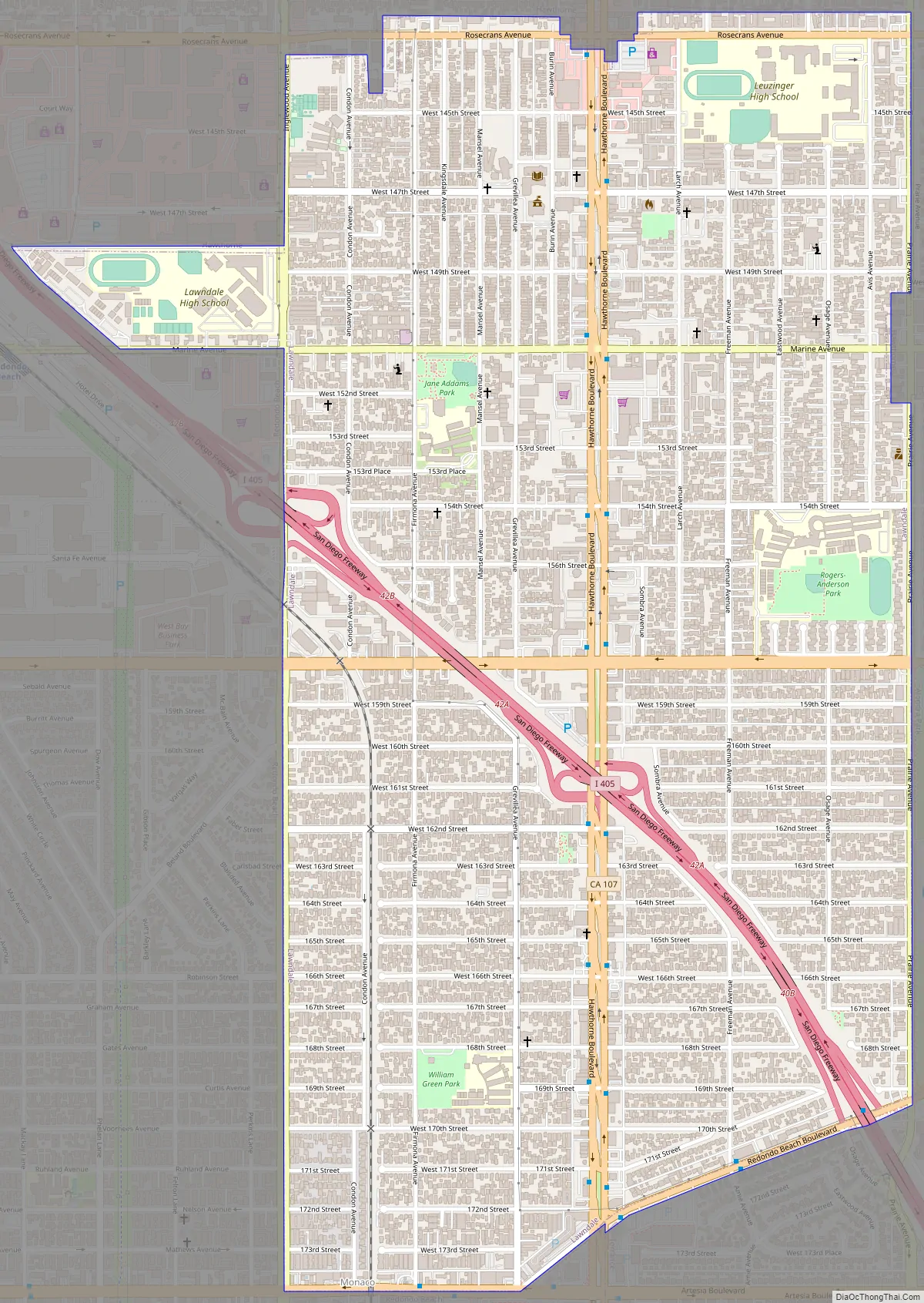
Lawndale Road Map
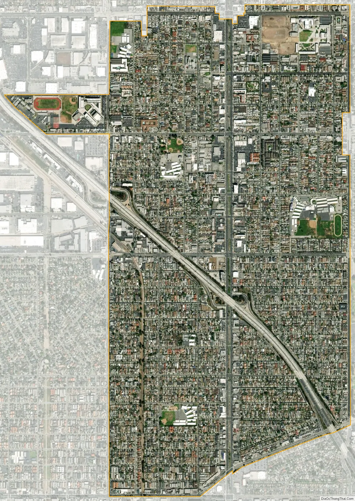
Lawndale city Satellite Map
Geography
According to the United States Census Bureau, the city has a total area of 2.0 square miles (5.2 km), all land.
Lawndale is bordered by Redondo Beach on the west and southwest, Hawthorne on the north, Torrance on the southeast, and the unincorporated area of El Camino Village (also known as Alondra Park) on the east.
Lawndale is serviced by Interstate 405, Hawthorne Boulevard (State Route 107), and by Artesia Boulevard (State Route 91), which becomes a freeway farther east. Lawndale is 5.7 miles southeast of Los Angeles International Airport.
Lawndale is serviced by following public transit: the Lawndale Beat, the Gardena Bus 1, Metro Green Line and by Metro buses 211, 40 and 740, the latter two of which are operated by the Los Angeles County Metropolitan Transportation Authority. The Lawndale Beat bus has been suspended until further notice.
The weather is warm all year long. In the winter, there are moderate rains. Because of the formation of the Palos Verdes Peninsula and its proximity to the beach, the city gets effects of the marine layer on almost identical, if not slightly lower, levels of nearby beach cities such as Manhattan Beach and El Segundo.
See also
Map of California State and its subdivision:- Alameda
- Alpine
- Amador
- Butte
- Calaveras
- Colusa
- Contra Costa
- Del Norte
- El Dorado
- Fresno
- Glenn
- Humboldt
- Imperial
- Inyo
- Kern
- Kings
- Lake
- Lassen
- Los Angeles
- Madera
- Marin
- Mariposa
- Mendocino
- Merced
- Modoc
- Mono
- Monterey
- Napa
- Nevada
- Orange
- Placer
- Plumas
- Riverside
- Sacramento
- San Benito
- San Bernardino
- San Diego
- San Francisco
- San Joaquin
- San Luis Obispo
- San Mateo
- Santa Barbara
- Santa Clara
- Santa Cruz
- Shasta
- Sierra
- Siskiyou
- Solano
- Sonoma
- Stanislaus
- Sutter
- Tehama
- Trinity
- Tulare
- Tuolumne
- Ventura
- Yolo
- Yuba
- Alabama
- Alaska
- Arizona
- Arkansas
- California
- Colorado
- Connecticut
- Delaware
- District of Columbia
- Florida
- Georgia
- Hawaii
- Idaho
- Illinois
- Indiana
- Iowa
- Kansas
- Kentucky
- Louisiana
- Maine
- Maryland
- Massachusetts
- Michigan
- Minnesota
- Mississippi
- Missouri
- Montana
- Nebraska
- Nevada
- New Hampshire
- New Jersey
- New Mexico
- New York
- North Carolina
- North Dakota
- Ohio
- Oklahoma
- Oregon
- Pennsylvania
- Rhode Island
- South Carolina
- South Dakota
- Tennessee
- Texas
- Utah
- Vermont
- Virginia
- Washington
- West Virginia
- Wisconsin
- Wyoming


