Likely (formerly, South Fork) is a census-designated place in Modoc County, California. It is located near the South Fork of the Pit River, 18 miles (29 km) south of the county seat of Alturas, at an elevation of 4,449 feet (1,356 m). Its population is 53 as of the 2020 census, down from 63 at the time of the 2010 census. Located 6 miles (9.7 km) north-northwest of Likely Mountain, it is somewhat sheltered from prevailing southwesterly winds, and its microclimate is noticeably drier and less stormy than surrounding areas. The ZIP Code for the community is 96116.
| Name: | Likely CDP |
|---|---|
| LSAD Code: | 57 |
| LSAD Description: | CDP (suffix) |
| State: | California |
| County: | Modoc County |
| Elevation: | 4,449 ft (1,356 m) |
| Total Area: | 1.334 sq mi (3.454 km²) |
| Land Area: | 1.329 sq mi (3.442 km²) |
| Water Area: | 0.005 sq mi (0.012 km²) 0.34% |
| Total Population: | 58 |
| Population Density: | 43/sq mi (17/km²) |
| ZIP code: | 96116 |
| Area code: | 530 |
| FIPS code: | 0641390 |
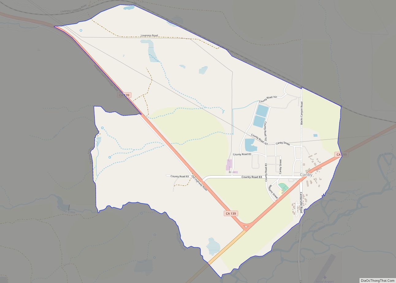
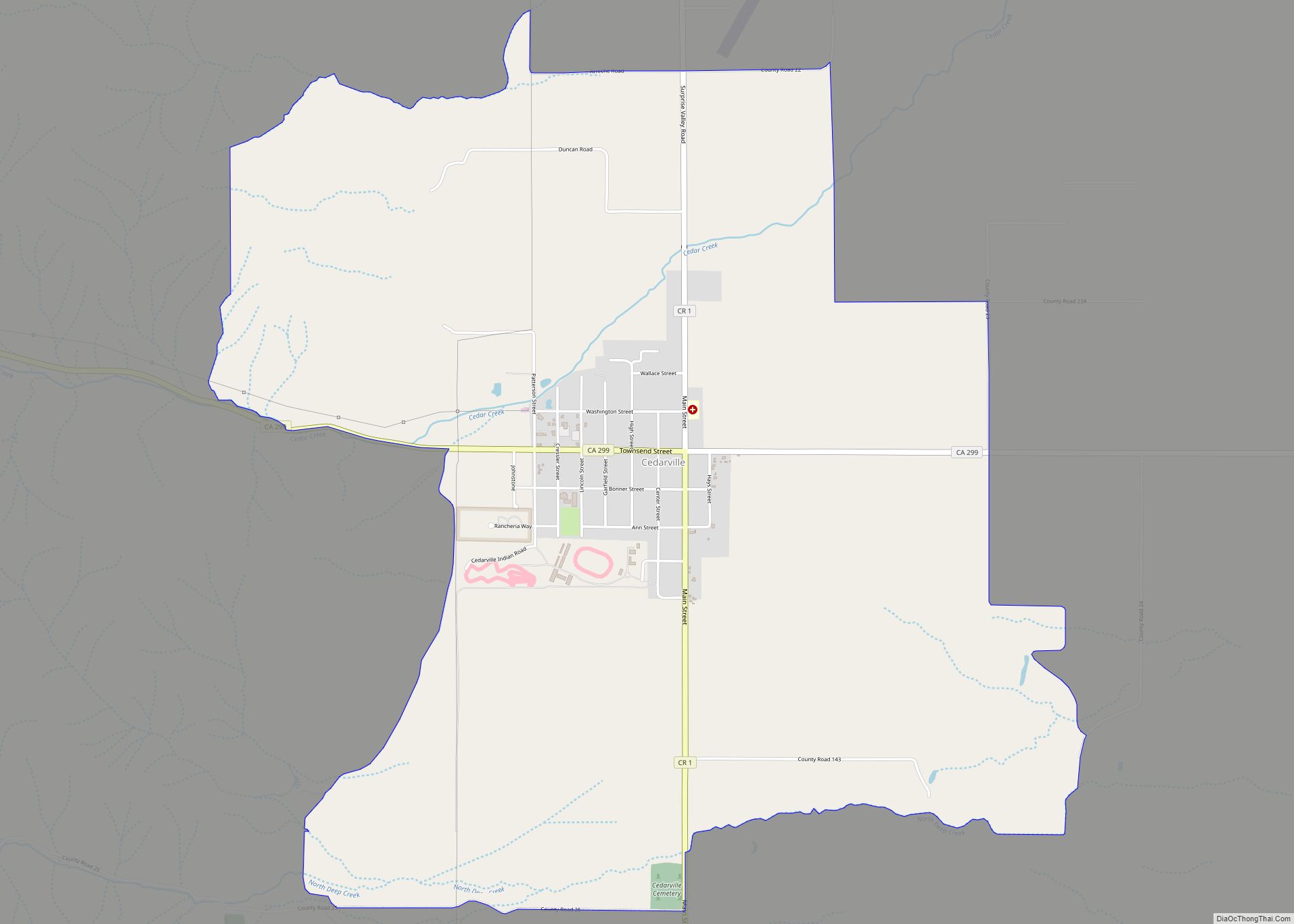
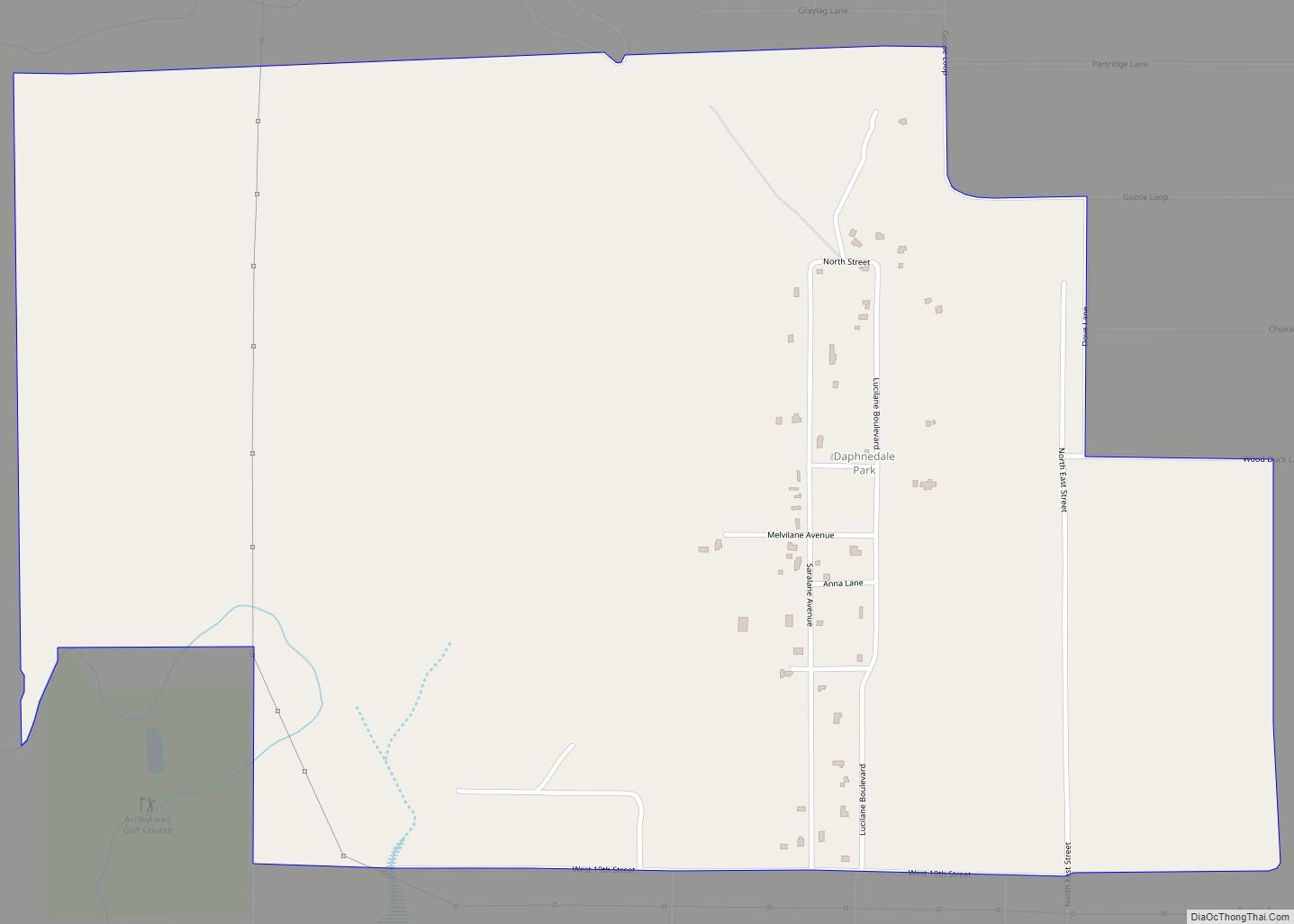
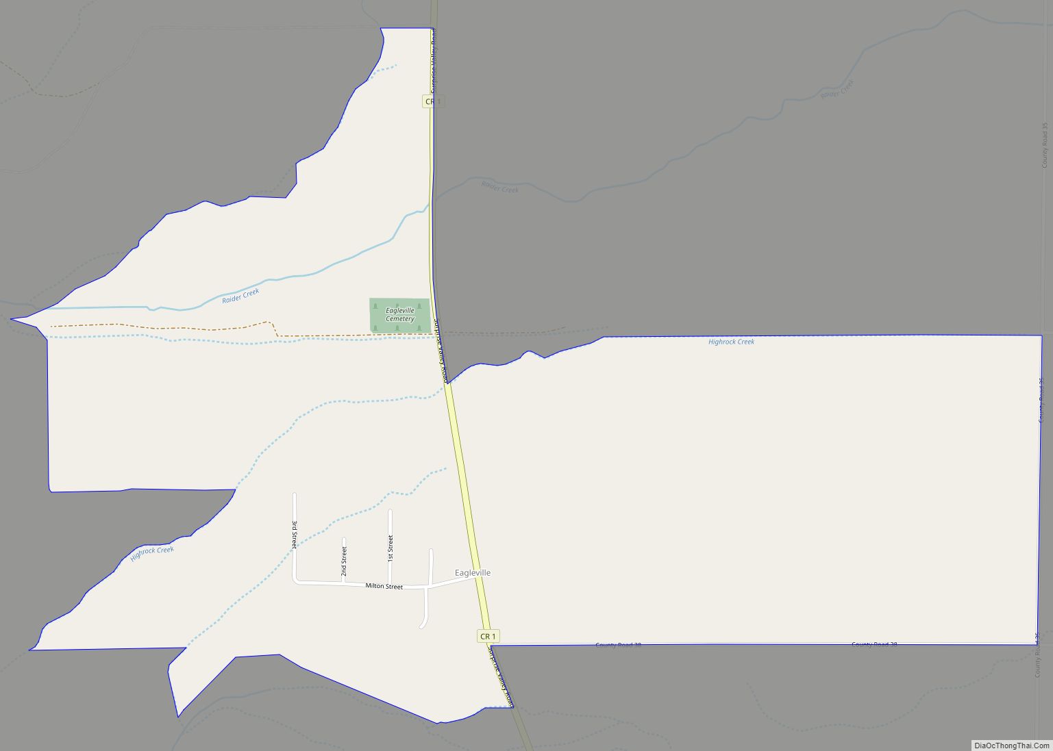
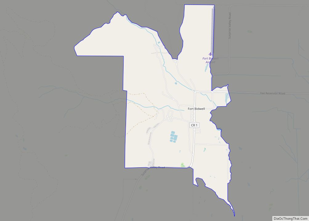
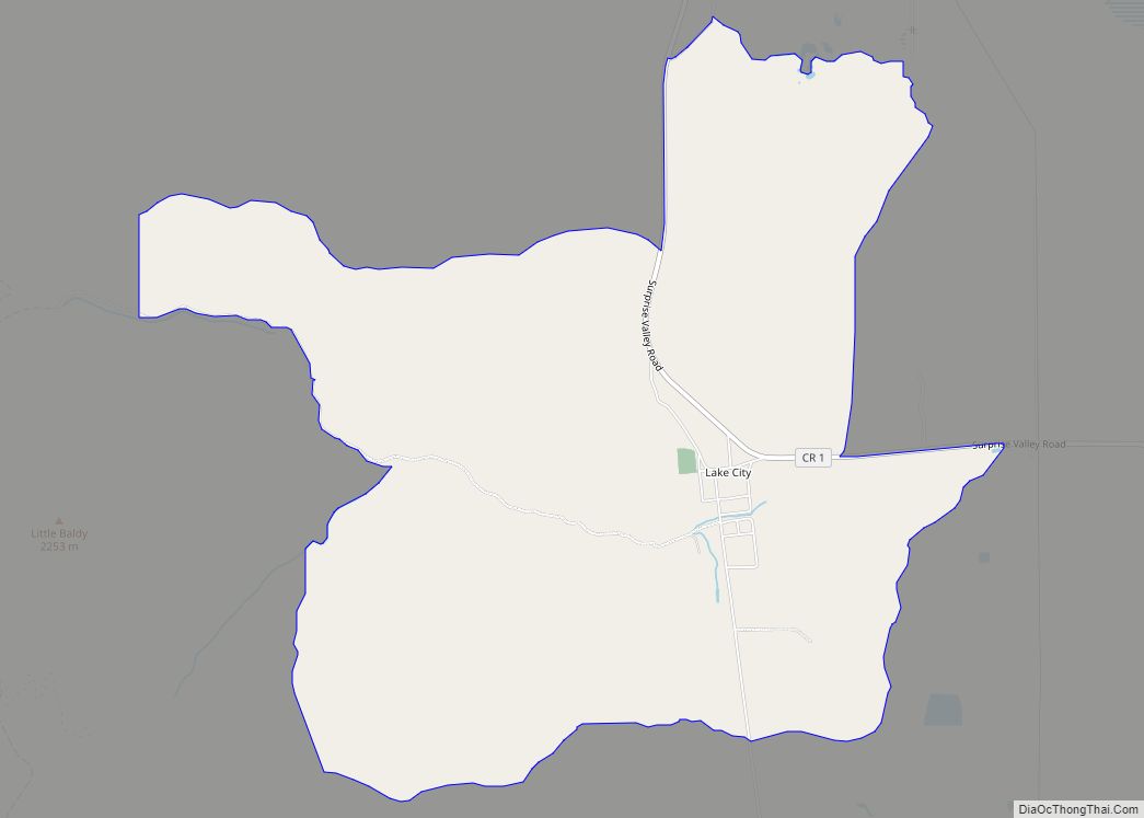
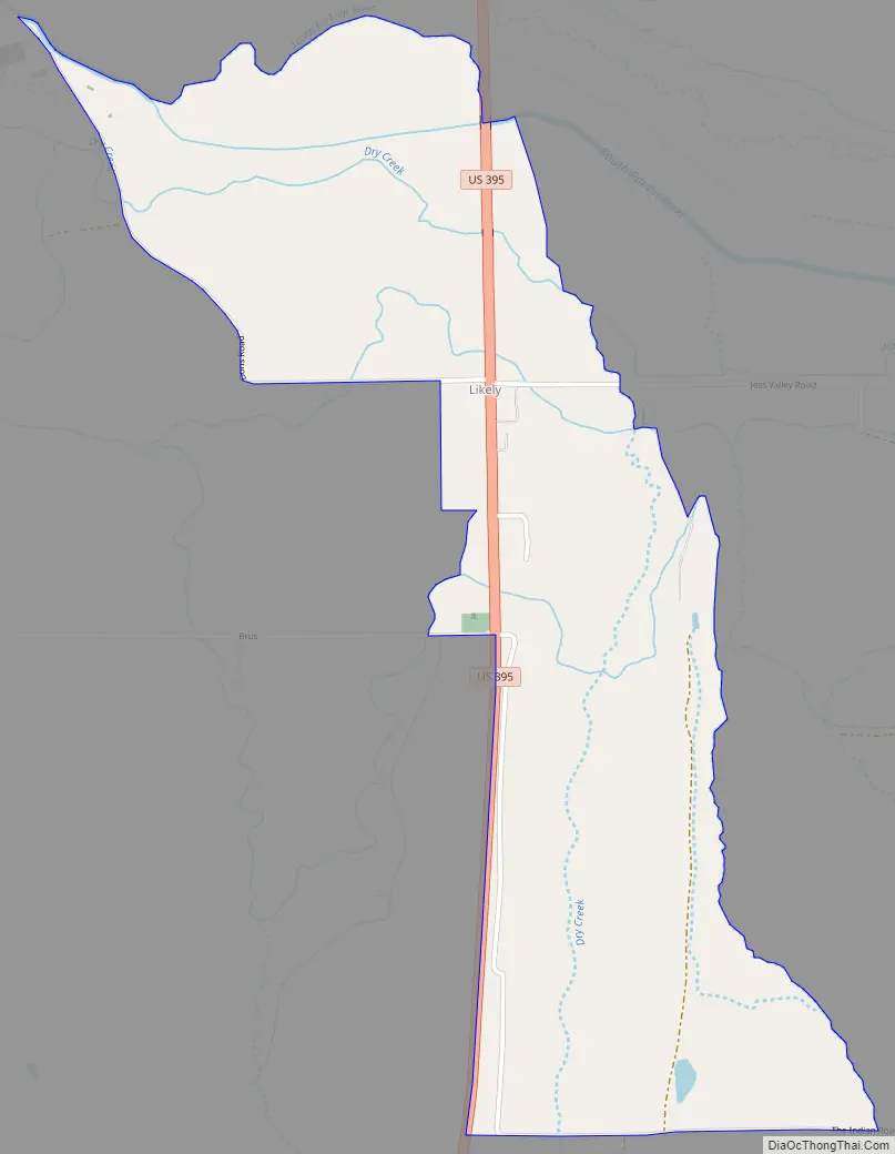
Online Interactive Map
Click on ![]() to view map in "full screen" mode.
to view map in "full screen" mode.
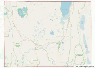
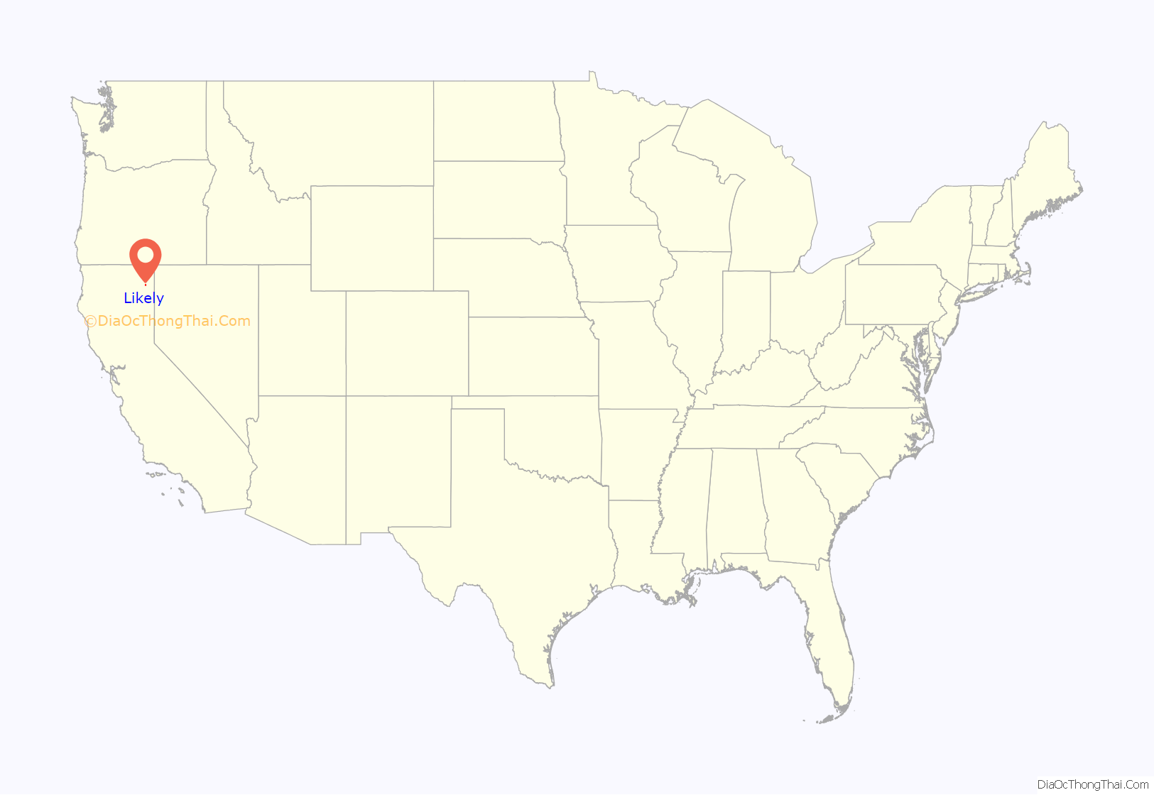
Likely location map. Where is Likely CDP?
History
Likely now occupies what was originally an Achumawi (Pit River) village known as Hamawe or Hammawi. The town was initially known as South Fork, named after the South Fork of the Pit River, and was renamed at the insistence of the United States Post Office, which insisted at that time that Post Offices could only have short, unique names. Residents were unable to agree what to name their town until a local rancher observed that they would most likely never agree upon a name, at which point someone nominated the name, “Likely”, and the name was voted in. The South Fork post office operated from 1878 to 1882. The Likely post office opened in 1886.
One of the last of the American Indian Wars was fought at Infernal Caverns, a short distance from Likely.
A 1913 book described Likely as having a population of 75, and situated along the main automobile route from Madeline to Bayley.
The Likely Peat Moss Company, Radel Inc. operated in Likely until 1987 when the non-renewing supply of high quality hypnum peat moss in nearby Jess Valley was depleted. The peat moss was strip-mined from the floor of Jess Valley and trucked 13 miles to Likely on the winding canyon road paralleling South Fork Pit River between Likely and Ivy, California. The peat moss was processed and packaged and then shipped by both truck and by Southern Pacific Railroad until rail services to Likely were discontinued. The company, Radel, was dissolved in 1987 upon the owner’s retirement.
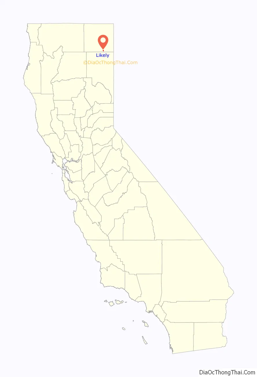
Likely Road Map
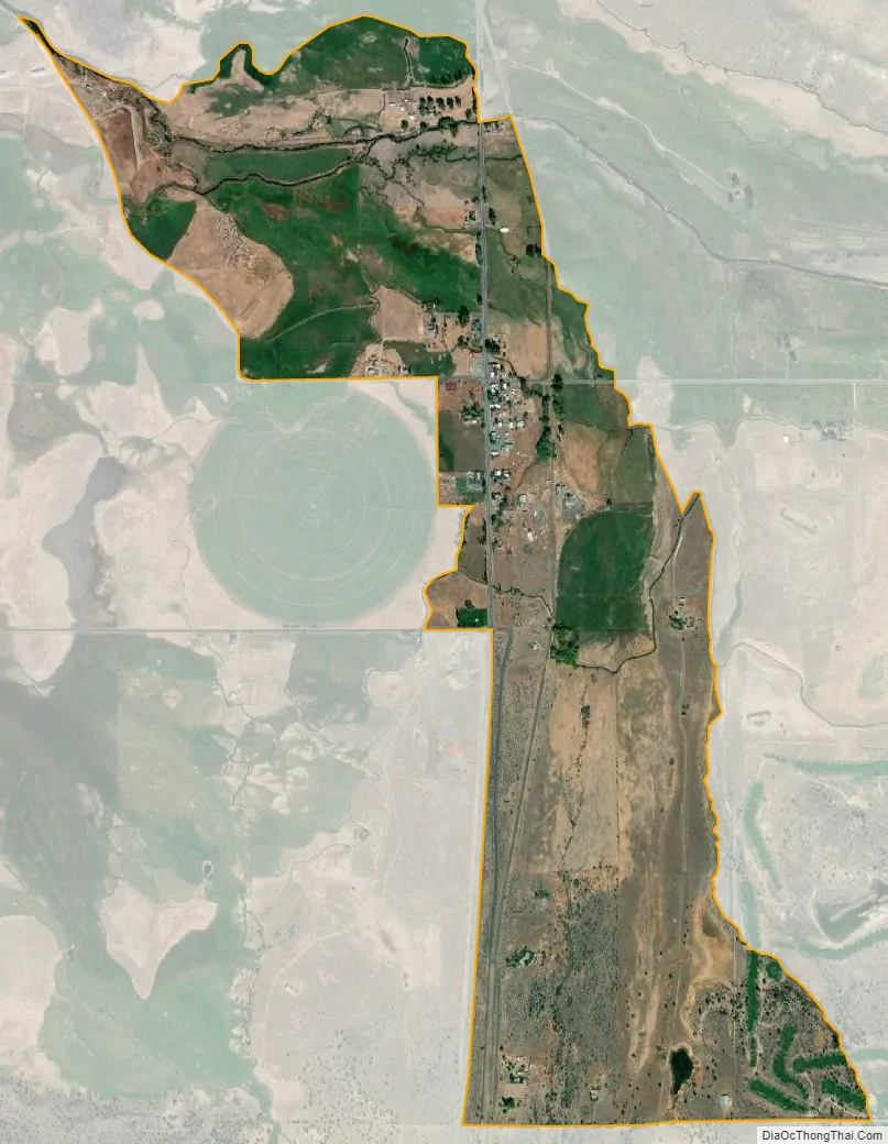
Likely city Satellite Map
Geography
Likely lies on the south side of the South Fork of the Pit River, in the south end of South Fork Valley, in the northeastern corner of California at 41°13′50″N 120°30′15″W / 41.23056°N 120.50417°W / 41.23056; -120.50417. Fragments of the southern edge of the Modoc Plateau surround Likely on most sides.
See also
Map of California State and its subdivision:- Alameda
- Alpine
- Amador
- Butte
- Calaveras
- Colusa
- Contra Costa
- Del Norte
- El Dorado
- Fresno
- Glenn
- Humboldt
- Imperial
- Inyo
- Kern
- Kings
- Lake
- Lassen
- Los Angeles
- Madera
- Marin
- Mariposa
- Mendocino
- Merced
- Modoc
- Mono
- Monterey
- Napa
- Nevada
- Orange
- Placer
- Plumas
- Riverside
- Sacramento
- San Benito
- San Bernardino
- San Diego
- San Francisco
- San Joaquin
- San Luis Obispo
- San Mateo
- Santa Barbara
- Santa Clara
- Santa Cruz
- Shasta
- Sierra
- Siskiyou
- Solano
- Sonoma
- Stanislaus
- Sutter
- Tehama
- Trinity
- Tulare
- Tuolumne
- Ventura
- Yolo
- Yuba
- Alabama
- Alaska
- Arizona
- Arkansas
- California
- Colorado
- Connecticut
- Delaware
- District of Columbia
- Florida
- Georgia
- Hawaii
- Idaho
- Illinois
- Indiana
- Iowa
- Kansas
- Kentucky
- Louisiana
- Maine
- Maryland
- Massachusetts
- Michigan
- Minnesota
- Mississippi
- Missouri
- Montana
- Nebraska
- Nevada
- New Hampshire
- New Jersey
- New Mexico
- New York
- North Carolina
- North Dakota
- Ohio
- Oklahoma
- Oregon
- Pennsylvania
- Rhode Island
- South Carolina
- South Dakota
- Tennessee
- Texas
- Utah
- Vermont
- Virginia
- Washington
- West Virginia
- Wisconsin
- Wyoming