Lincoln is a city in Placer County, California, United States, part of the Sacramento metropolitan area. Located ten miles north of Roseville in an area of rapid suburban development, it grew 282 percent between 2000 and 2010, making it the fastest-growing city over 10,000 people in the U.S. Its 2019 population was estimated to be 48,275.
Lincoln is part of the Sacramento-Roseville Metropolitan Statistical Area.
| Name: | Lincoln city |
|---|---|
| LSAD Code: | 25 |
| LSAD Description: | city (suffix) |
| State: | California |
| County: | Placer County |
| Incorporated: | August 7, 1890 |
| Elevation: | 167 ft (51 m) |
| Total Area: | 23.55 sq mi (61.00 km²) |
| Land Area: | 23.51 sq mi (60.89 km²) |
| Water Area: | 0.04 sq mi (0.11 km²) 0.12% |
| Total Population: | 42,819 |
| Population Density: | 2,053.38/sq mi (792.81/km²) |
| ZIP code: | 95648 |
| Area code: | 916, 279 |
| FIPS code: | 0641474 |
| GNISfeature ID: | 277539 |
Online Interactive Map
Click on ![]() to view map in "full screen" mode.
to view map in "full screen" mode.
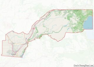
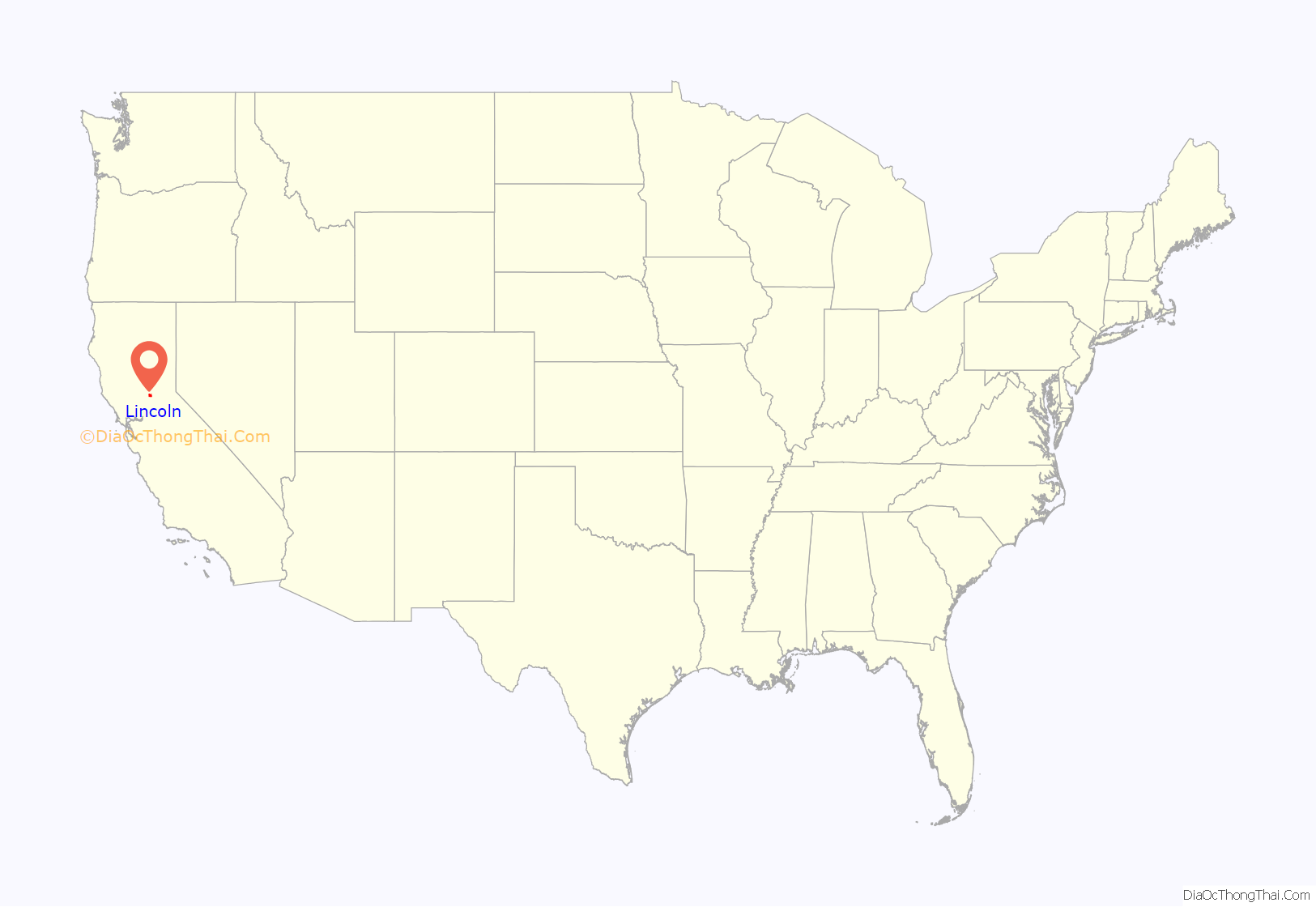
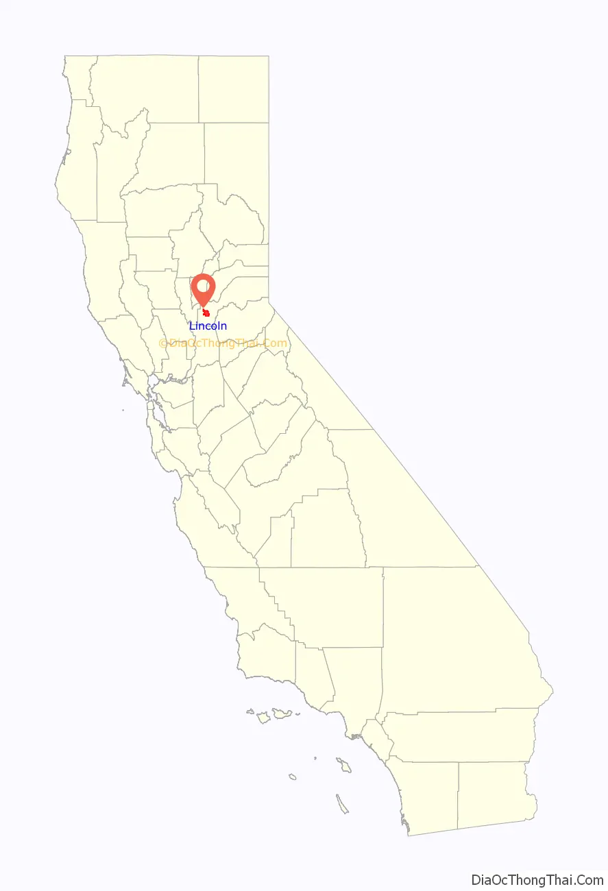
Lincoln location map. Where is Lincoln city?
History
The original townsite was surveyed and laid out in 1859 by Theodore Judah along the proposed line of the California Central Railroad. The name Lincoln was conferred in honor of Charles Lincoln Wilson, one of the organizers, a fundraiser, and a management contractor of the California Central Railroad (CCRR). The CCRR was planned as a rail link between the cities of Marysville and Sacramento via a connection to the Sacramento Valley Railroad in Folsom. Grading from Folsom to Marysville commenced in 1858 and was completed up to Grider’s Ranch (Roseville) by 1859.
At Auburn Ravine, where the line makes an elbow and turns northward toward Marysville, a new railway town Lincoln was located by Judah with town lots on sale from Wilson. At an auction in Sacramento on November 23, 1859, over $4,000 was raised from the sales of lots in Lincoln, ranging from $20 to $400 for each lot. With the grading on the first division of the road from Folsom completed eighteen miles to Lincoln, track laying began at Folsom on December 30, 1859. With the help of the Chinese laborers, the company was able to complete the railroad to Lincoln on October 14, 1861. The completion of the railroad “changed the appearance of the locality, and breathed into the town the breath of life”, birthing possibly the first platted railroad town in California.
At this point, due to a lack of funds, further construction on the California Central was temporarily halted and Lincoln experienced a small-scale boom as the northern terminus of this new railroad. Within a few years, however, more investors were found and the line was extended to Wheatland, in Yuba County, bringing an end to this early stage of Lincoln’s development.
When most of its population and business moved on with the railroad, the town settled into a lull until the early 1870s, when rich clay deposits of the Ione Formation were discovered nearby. This led to the establishment of Gladding, McBean & Co., the pottery for which Lincoln is now famous, ushering in a new era of prosperity and growth.
Lincoln remained a sleepy town until the mid-1990s when the suburbs of Sacramento started expanding beyond nearby Roseville. The city is now experiencing a new period of growth. As of the 2010 census, the population was 42,819, for a growth rate of 282 percent since 2000, making Lincoln the fastest-growing city in the United States over that decade.
In June 2003 the first casino in the greater Sacramento Metropolitan Area, the Thunder Valley Casino Resort, opened in Lincoln.
In 2006, Lincoln was named an All-America City by the National Civic League. It was the only California city to be named an All-America City that year and only one of the cities to receive the prestigious award.
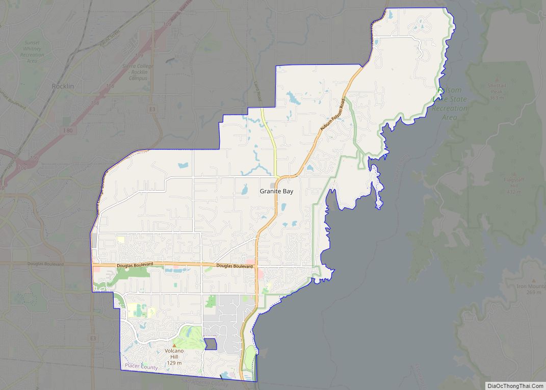
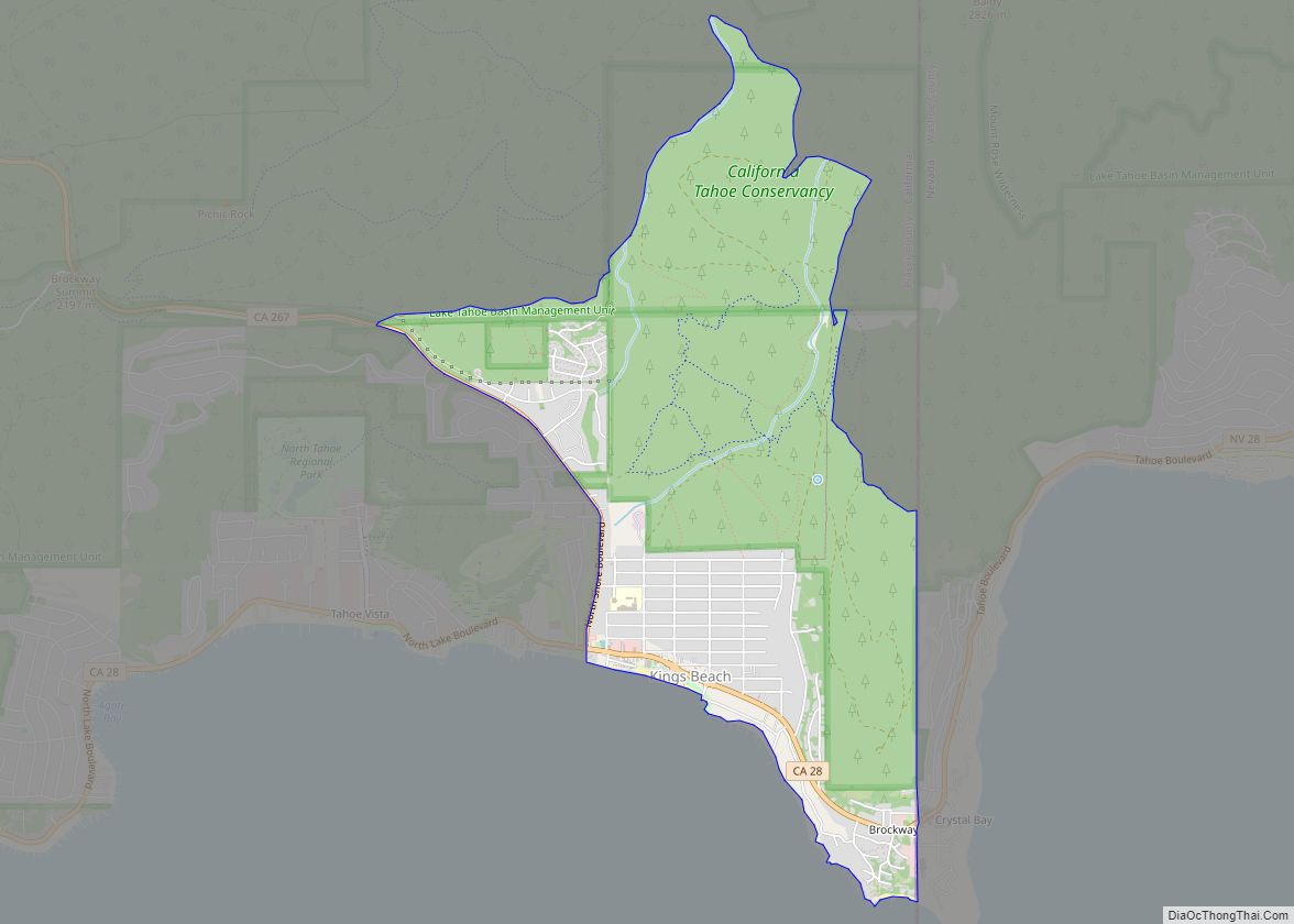
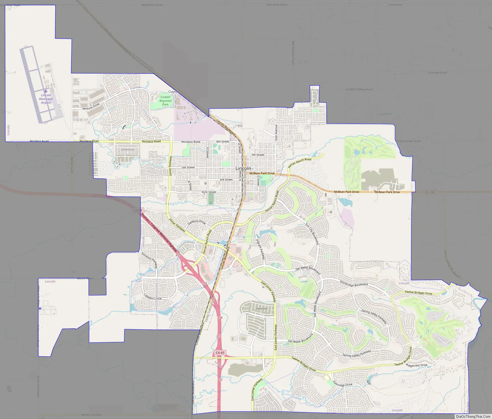
Lincoln Road Map
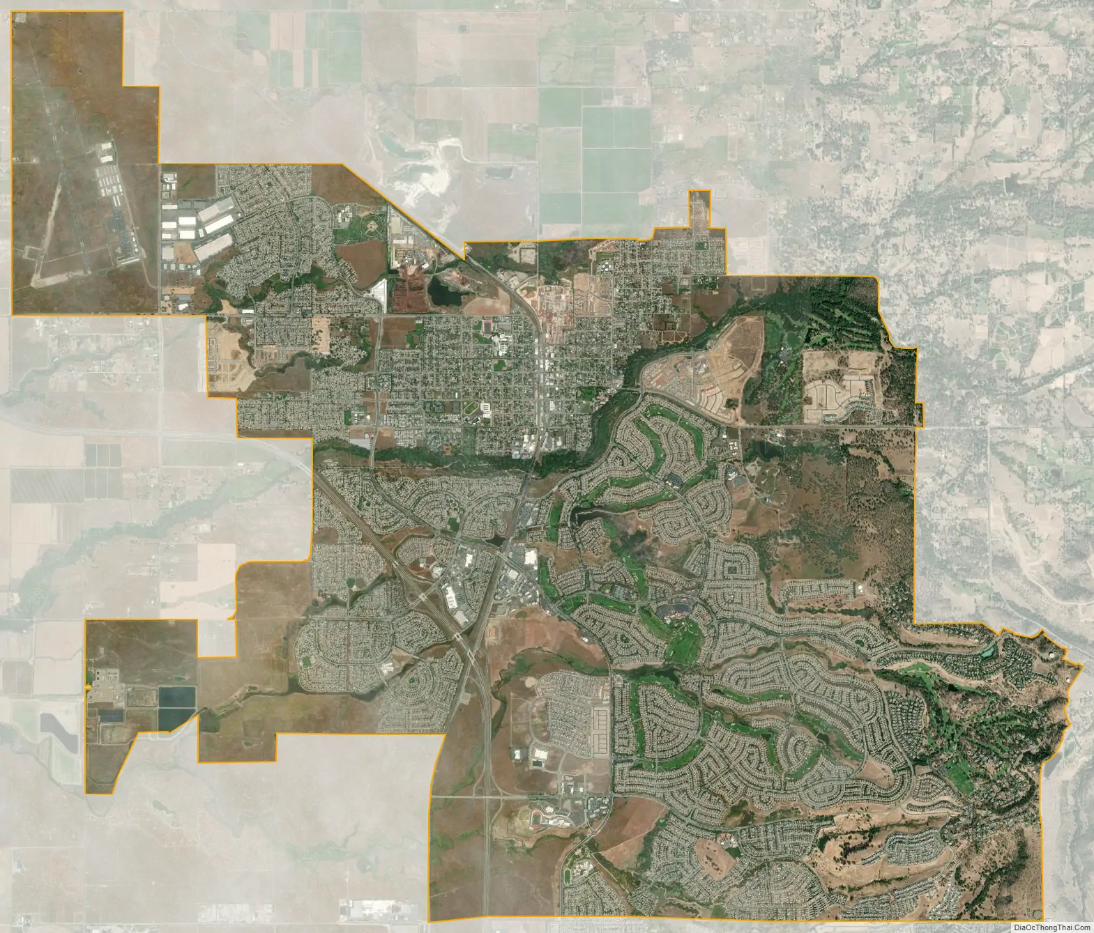
Lincoln city Satellite Map
Geography
Lincoln is located at 38°53′14″N 121°17′46″W / 38.88722°N 121.29611°W / 38.88722; -121.29611 (38.887121, -121.295973).
According to the United States Census Bureau, the city has a total area of 20.1 square miles (52 square kilometers), of which 0.02 square miles (0.052 km), or 0.12 percent, is water.
See also
Map of California State and its subdivision:- Alameda
- Alpine
- Amador
- Butte
- Calaveras
- Colusa
- Contra Costa
- Del Norte
- El Dorado
- Fresno
- Glenn
- Humboldt
- Imperial
- Inyo
- Kern
- Kings
- Lake
- Lassen
- Los Angeles
- Madera
- Marin
- Mariposa
- Mendocino
- Merced
- Modoc
- Mono
- Monterey
- Napa
- Nevada
- Orange
- Placer
- Plumas
- Riverside
- Sacramento
- San Benito
- San Bernardino
- San Diego
- San Francisco
- San Joaquin
- San Luis Obispo
- San Mateo
- Santa Barbara
- Santa Clara
- Santa Cruz
- Shasta
- Sierra
- Siskiyou
- Solano
- Sonoma
- Stanislaus
- Sutter
- Tehama
- Trinity
- Tulare
- Tuolumne
- Ventura
- Yolo
- Yuba
- Alabama
- Alaska
- Arizona
- Arkansas
- California
- Colorado
- Connecticut
- Delaware
- District of Columbia
- Florida
- Georgia
- Hawaii
- Idaho
- Illinois
- Indiana
- Iowa
- Kansas
- Kentucky
- Louisiana
- Maine
- Maryland
- Massachusetts
- Michigan
- Minnesota
- Mississippi
- Missouri
- Montana
- Nebraska
- Nevada
- New Hampshire
- New Jersey
- New Mexico
- New York
- North Carolina
- North Dakota
- Ohio
- Oklahoma
- Oregon
- Pennsylvania
- Rhode Island
- South Carolina
- South Dakota
- Tennessee
- Texas
- Utah
- Vermont
- Virginia
- Washington
- West Virginia
- Wisconsin
- Wyoming