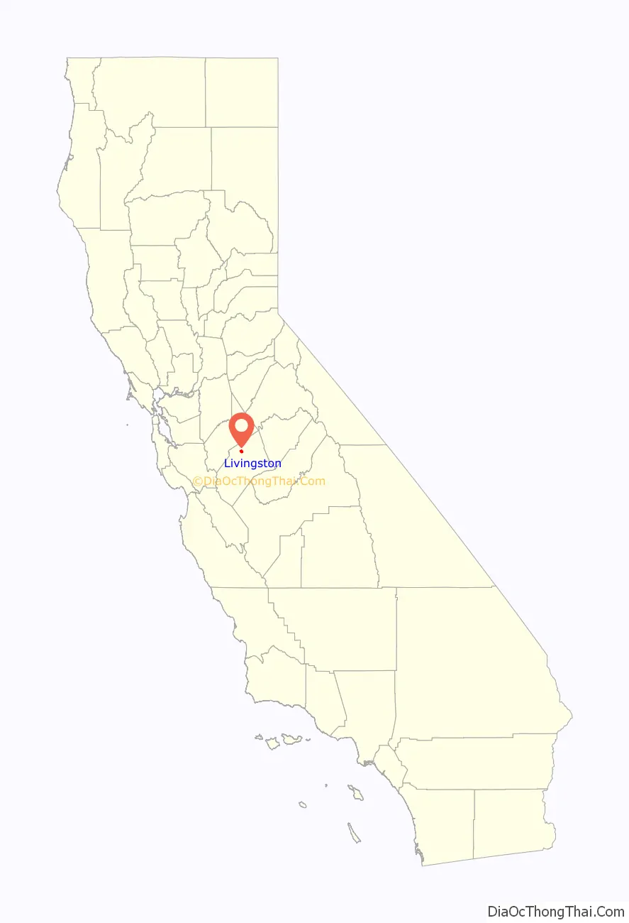
Livingston is a city in Merced County, California, United States. Livingston is located 7 miles (11 km) west-northwest of Atwater, at an elevation of 131 feet (40 m). According to the 2020 census, the city population was 14,172, up from 13,058 in 2010. Livingston’s total area is 3.7 square miles (9.6 km), including undeveloped farmland annexed in anticipation of future growth.
| Name: | Livingston city |
|---|---|
| LSAD Code: | 25 |
| LSAD Description: | city (suffix) |
| State: | California |
| County: | Merced County |
| Incorporated: | September 11, 1922 |
| Elevation: | 131 ft (40 m) |
| Total Area: | 3.678 sq mi (9.53 km²) |
| Land Area: | 3.675 sq mi (9.52 km²) |
| Water Area: | 0.003 sq mi (0.008 km²) 0.08% |
| Total Population: | 14,172 |
| Population Density: | 3,856.3/sq mi (1,488.9/km²) |
| ZIP code: | 95334 |
| Area code: | 209 |
| FIPS code: | 0642006 |
| GNISfeature ID: | 1656135 |
| Website: | www.livingstoncity.com |
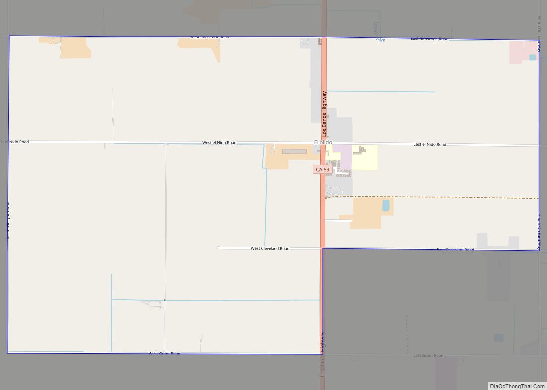
Online Interactive Map
Click on ![]() to view map in "full screen" mode.
to view map in "full screen" mode.
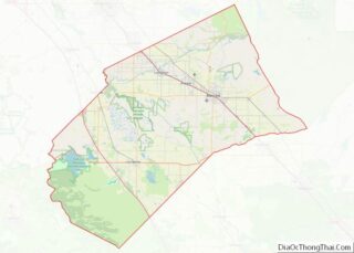
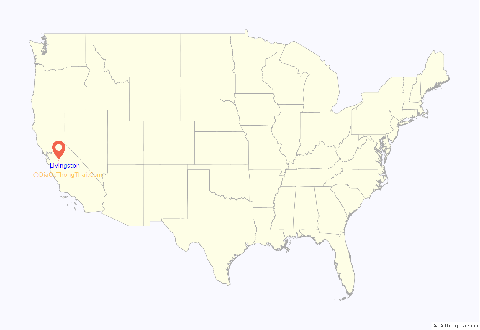
Livingston location map. Where is Livingston city?
History
The Livingston post office opened in 1873, closed in 1882, and re-opened in 1883. The town was named for Dr. David Livingstone, a British explorer of Africa who was an international celebrity in the late 1800s. An error on the town’s post office application resulted in the difference in spelling between his name and the town’s.
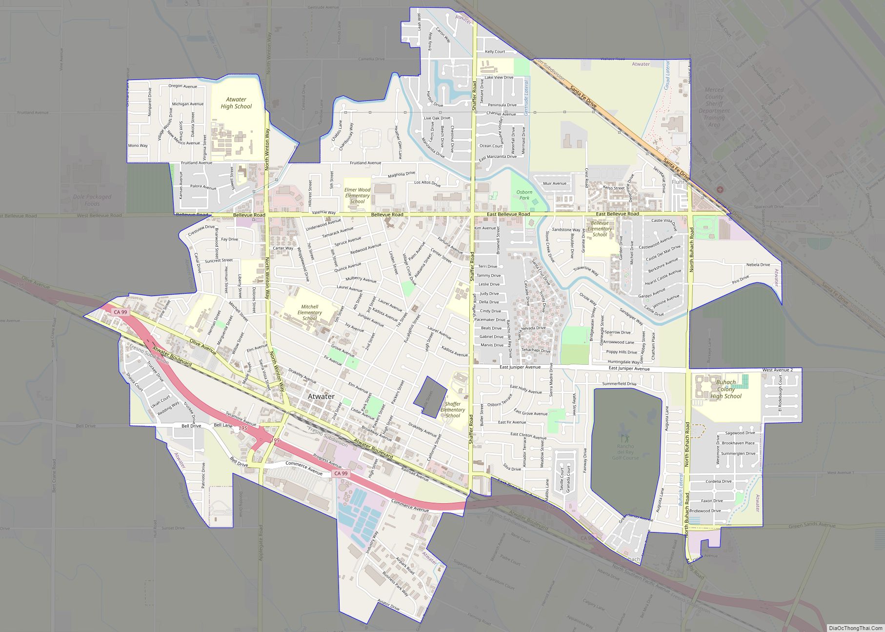
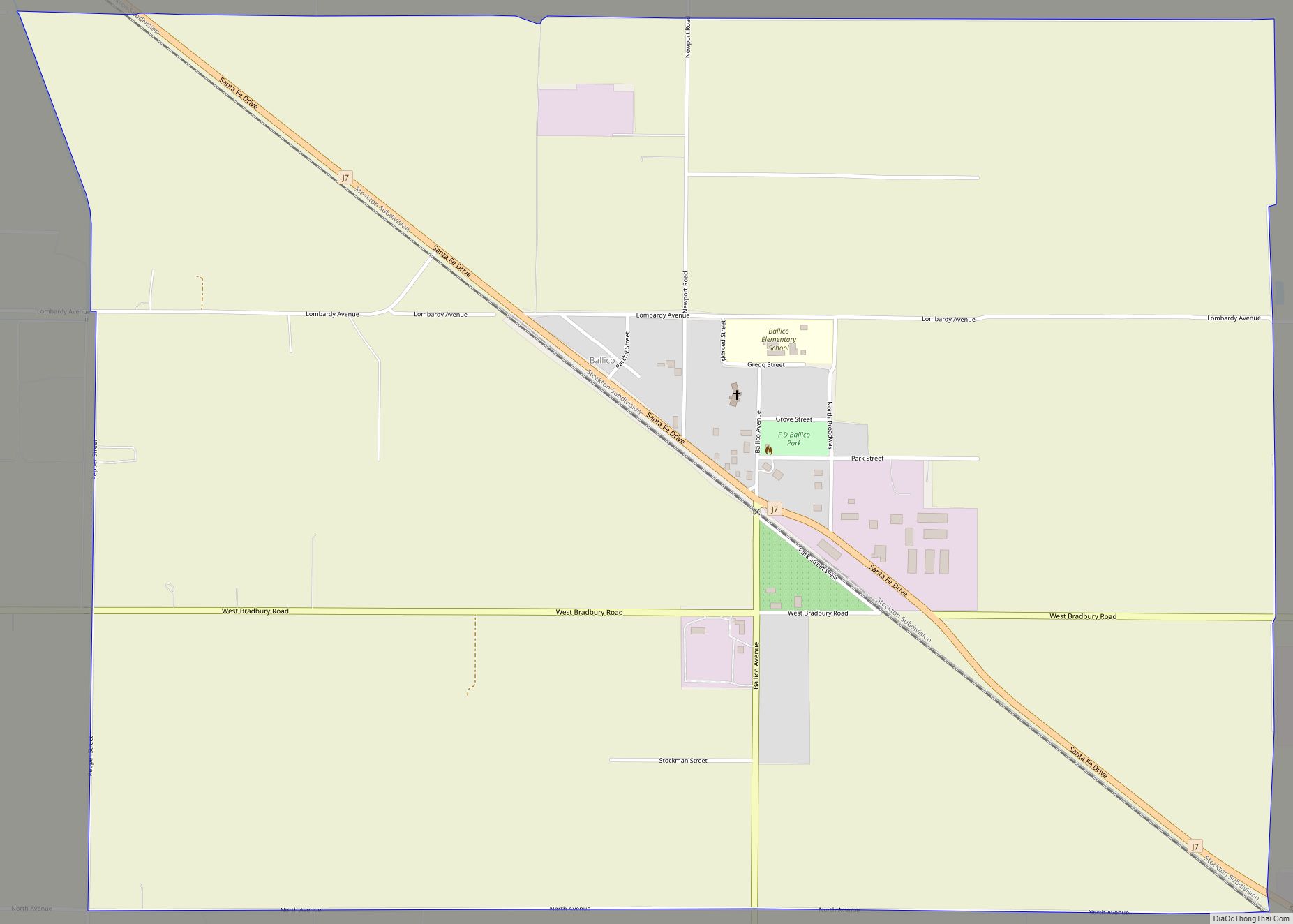
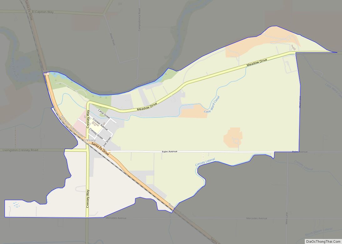
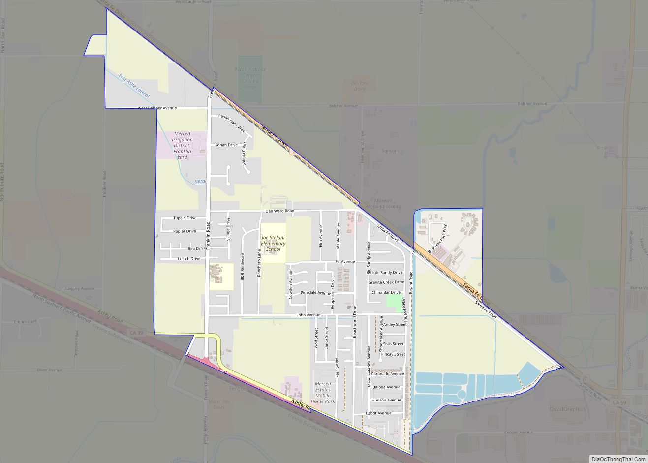
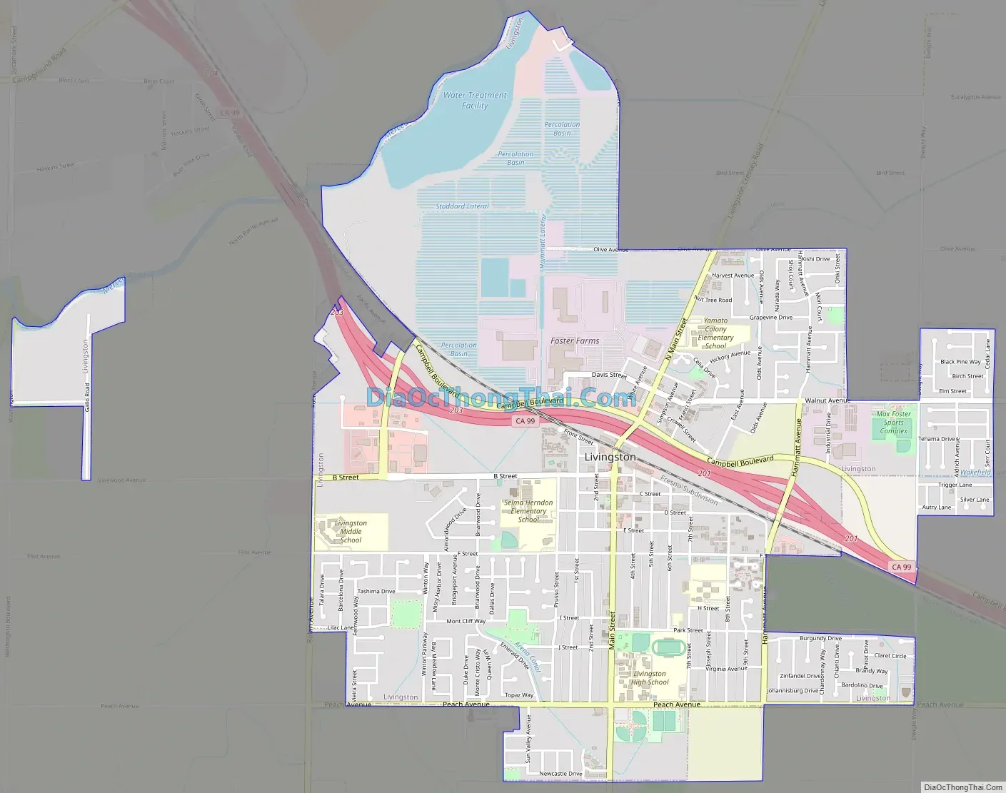
Livingston Road Map
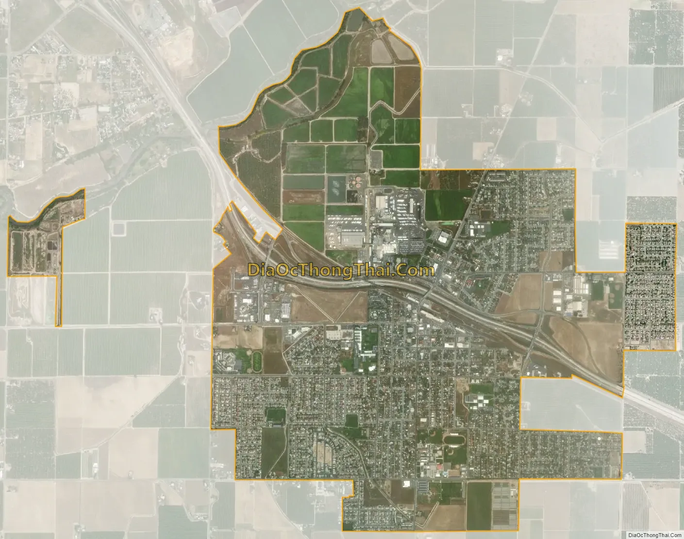
Livingston city Satellite Map
See also
Map of California State and its subdivision:- Alameda
- Alpine
- Amador
- Butte
- Calaveras
- Colusa
- Contra Costa
- Del Norte
- El Dorado
- Fresno
- Glenn
- Humboldt
- Imperial
- Inyo
- Kern
- Kings
- Lake
- Lassen
- Los Angeles
- Madera
- Marin
- Mariposa
- Mendocino
- Merced
- Modoc
- Mono
- Monterey
- Napa
- Nevada
- Orange
- Placer
- Plumas
- Riverside
- Sacramento
- San Benito
- San Bernardino
- San Diego
- San Francisco
- San Joaquin
- San Luis Obispo
- San Mateo
- Santa Barbara
- Santa Clara
- Santa Cruz
- Shasta
- Sierra
- Siskiyou
- Solano
- Sonoma
- Stanislaus
- Sutter
- Tehama
- Trinity
- Tulare
- Tuolumne
- Ventura
- Yolo
- Yuba
- Alabama
- Alaska
- Arizona
- Arkansas
- California
- Colorado
- Connecticut
- Delaware
- District of Columbia
- Florida
- Georgia
- Hawaii
- Idaho
- Illinois
- Indiana
- Iowa
- Kansas
- Kentucky
- Louisiana
- Maine
- Maryland
- Massachusetts
- Michigan
- Minnesota
- Mississippi
- Missouri
- Montana
- Nebraska
- Nevada
- New Hampshire
- New Jersey
- New Mexico
- New York
- North Carolina
- North Dakota
- Ohio
- Oklahoma
- Oregon
- Pennsylvania
- Rhode Island
- South Carolina
- South Dakota
- Tennessee
- Texas
- Utah
- Vermont
- Virginia
- Washington
- West Virginia
- Wisconsin
- Wyoming