Atwater is a city on State Route 99 in Merced County, California, United States. Atwater is 8 miles (13 km) west-northwest of Merced, at an elevation of 151 feet (46 m). The population as of the 2020 census was 31,970, up from 28,168 in 2010.
| Name: | Atwater city |
|---|---|
| LSAD Code: | 25 |
| LSAD Description: | city (suffix) |
| State: | California |
| County: | Merced County |
| Incorporated: | August 16, 1922 |
| Elevation: | 151 ft (46 m) |
| Total Area: | 6.57 sq mi (17.0 km²) |
| Land Area: | 6.57 sq mi (17.0 km²) |
| Water Area: | 0.01 sq mi (0.03 km²) 0.08% |
| Total Population: | 31,970 |
| Population Density: | 4,868.28/sq mi (1,879.65/km²) |
| ZIP code: | 95301, 95342 |
| Area code: | 209 |
| FIPS code: | 0603162 |
| GNISfeature ID: | 277600 |
| Website: | www.atwater.org |
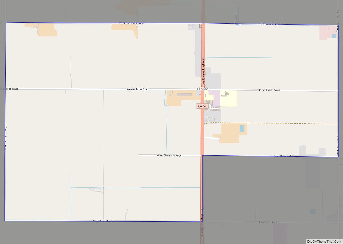
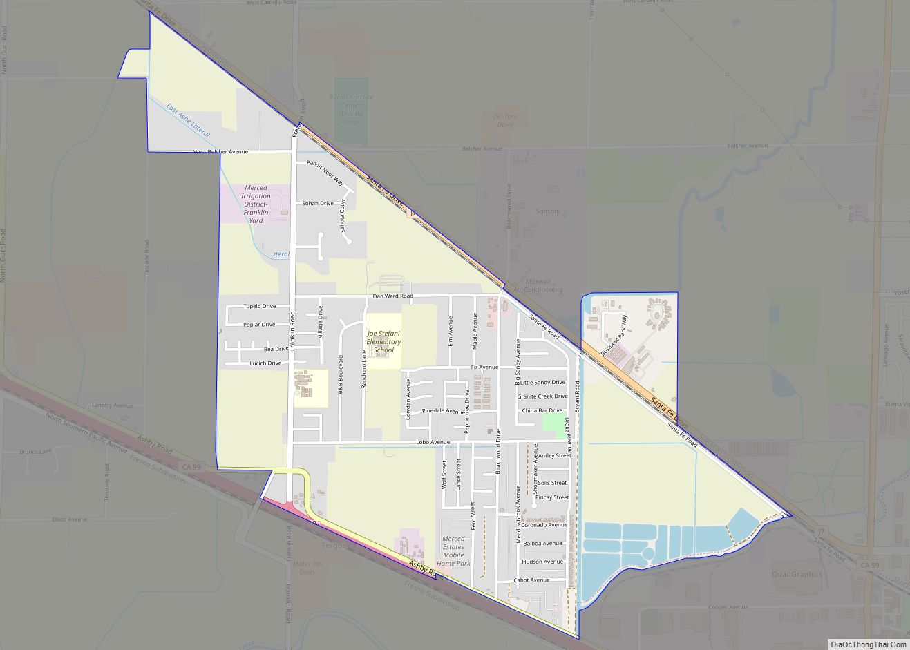
Online Interactive Map
Click on ![]() to view map in "full screen" mode.
to view map in "full screen" mode.
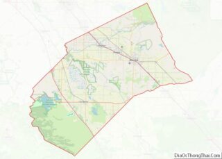
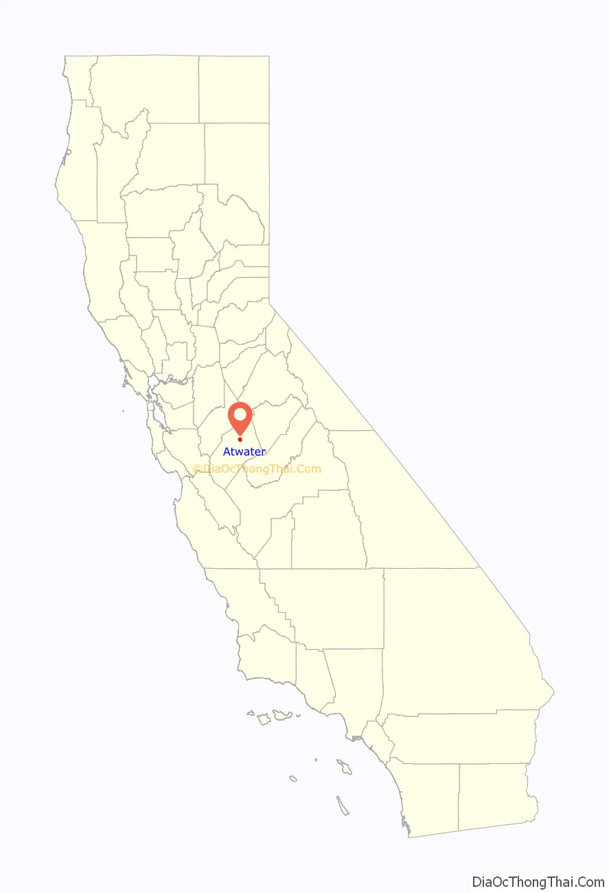
Atwater location map. Where is Atwater city?

History
The railroad reached Atwater in the 1870s, and a town grew around it. The first post office opened in 1880. Atwater incorporated in 1922. The name honors Marshall D. Atwater, a wheat farmer whose land was used by the railroad for its station.
North of the town is the site of Castle Air Force Base, the former World War II Merced Army Airfield. Castle was selected for closure under the 1991 Base Realignment and Closure Commission and the base closed September 30, 1995. The site is now a public airport.
On May 15, 2020, Atwater declared itself a business “sanctuary city” during the coronavirus pandemic.
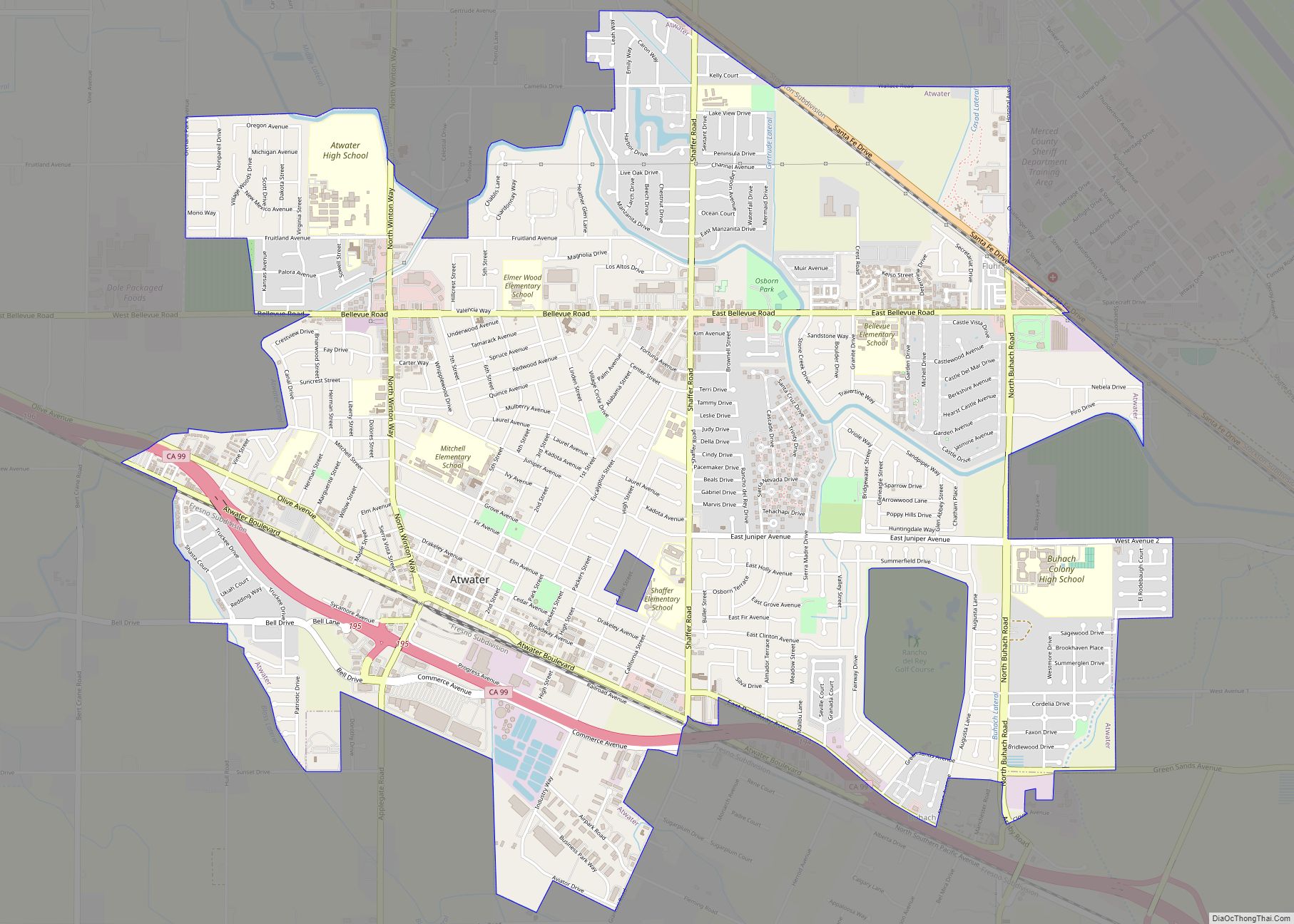
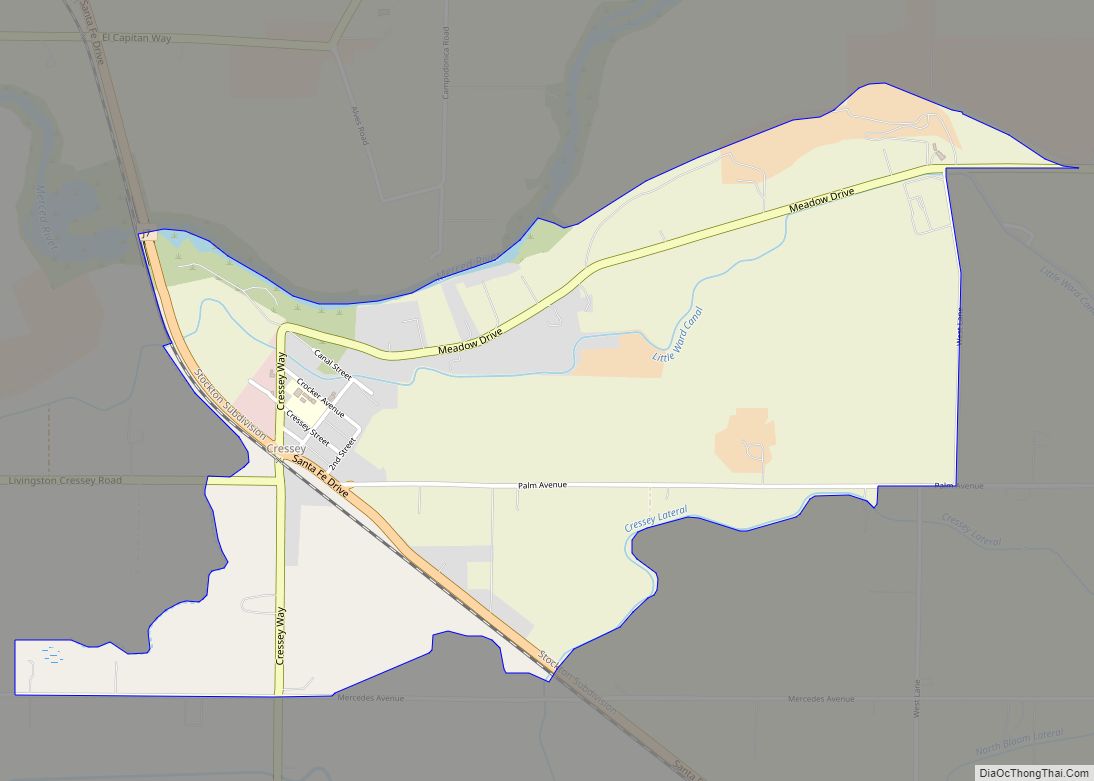
Atwater Road Map

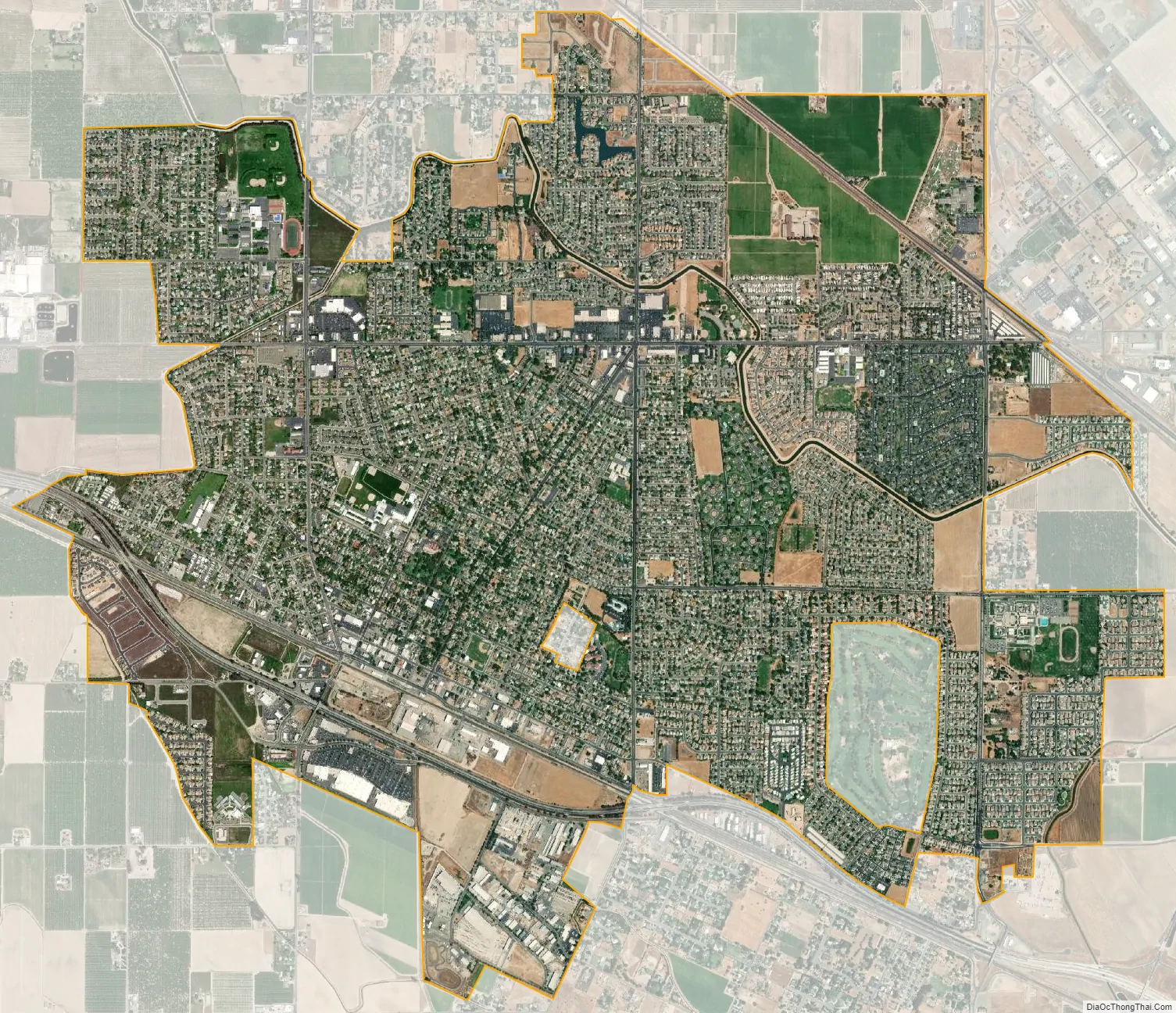
Atwater city Satellite Map
Geography
Atwater is in northern Merced County, between Merced, the county seat, to the southeast and Livingston to the northwest. According to the United States Census Bureau, the city has a total area of 6.6 square miles (17 km). 99.92% of it is land and 0.08% is water.
The city includes Castle Air Museum, but does not include the former Castle Air Force Base proper, now repurposed as Castle Airport.
See also
Map of California State and its subdivision:- Alameda
- Alpine
- Amador
- Butte
- Calaveras
- Colusa
- Contra Costa
- Del Norte
- El Dorado
- Fresno
- Glenn
- Humboldt
- Imperial
- Inyo
- Kern
- Kings
- Lake
- Lassen
- Los Angeles
- Madera
- Marin
- Mariposa
- Mendocino
- Merced
- Modoc
- Mono
- Monterey
- Napa
- Nevada
- Orange
- Placer
- Plumas
- Riverside
- Sacramento
- San Benito
- San Bernardino
- San Diego
- San Francisco
- San Joaquin
- San Luis Obispo
- San Mateo
- Santa Barbara
- Santa Clara
- Santa Cruz
- Shasta
- Sierra
- Siskiyou
- Solano
- Sonoma
- Stanislaus
- Sutter
- Tehama
- Trinity
- Tulare
- Tuolumne
- Ventura
- Yolo
- Yuba
- Alabama
- Alaska
- Arizona
- Arkansas
- California
- Colorado
- Connecticut
- Delaware
- District of Columbia
- Florida
- Georgia
- Hawaii
- Idaho
- Illinois
- Indiana
- Iowa
- Kansas
- Kentucky
- Louisiana
- Maine
- Maryland
- Massachusetts
- Michigan
- Minnesota
- Mississippi
- Missouri
- Montana
- Nebraska
- Nevada
- New Hampshire
- New Jersey
- New Mexico
- New York
- North Carolina
- North Dakota
- Ohio
- Oklahoma
- Oregon
- Pennsylvania
- Rhode Island
- South Carolina
- South Dakota
- Tennessee
- Texas
- Utah
- Vermont
- Virginia
- Washington
- West Virginia
- Wisconsin
- Wyoming