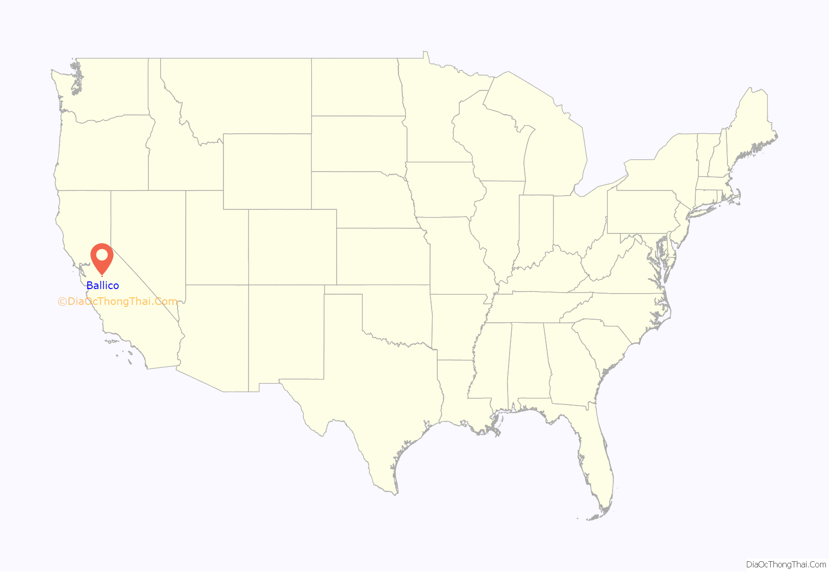
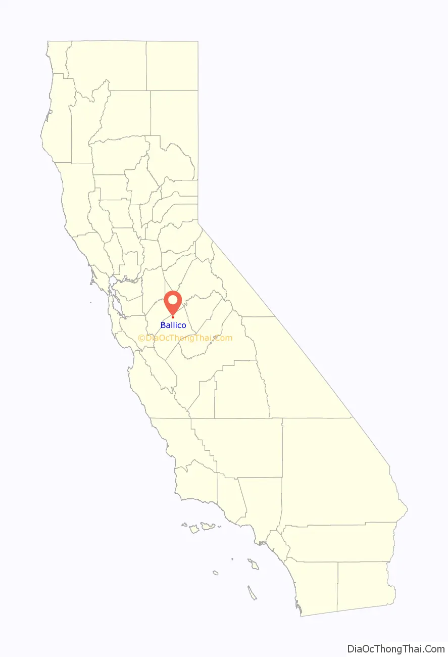
Ballico is a census-designated place in Merced County, California, United States. It is located 9 miles (14 km) northwest of Atwater at an elevation of 151 feet (46 m). The population was 347 at the 2020 United States census, down from 406 in 2010.
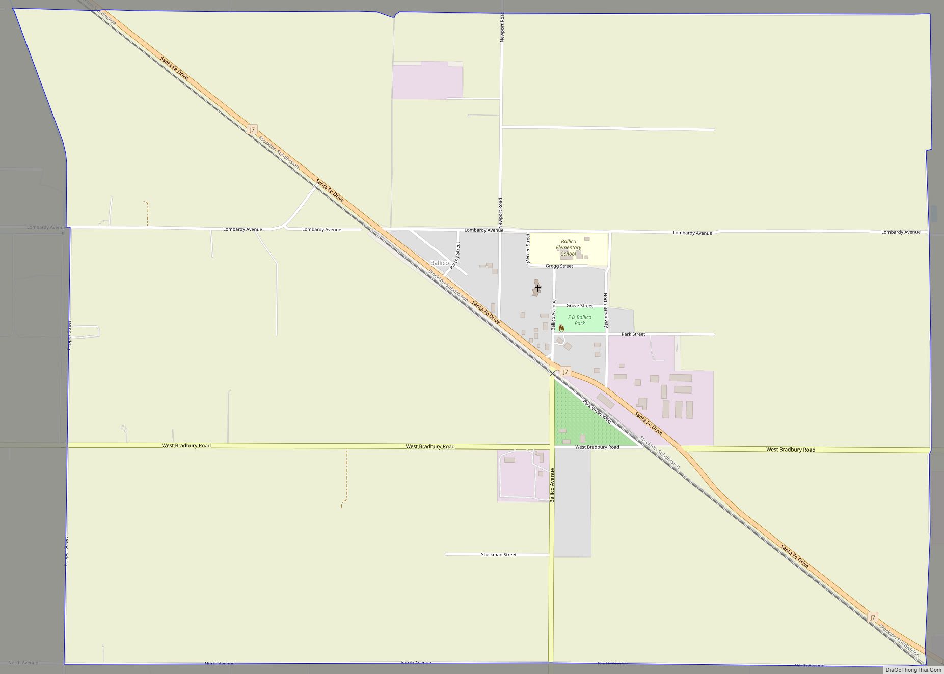
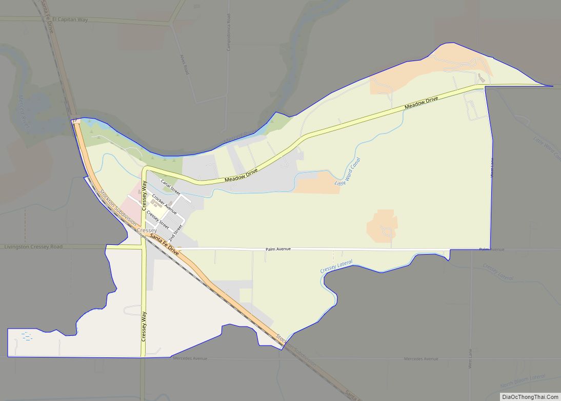
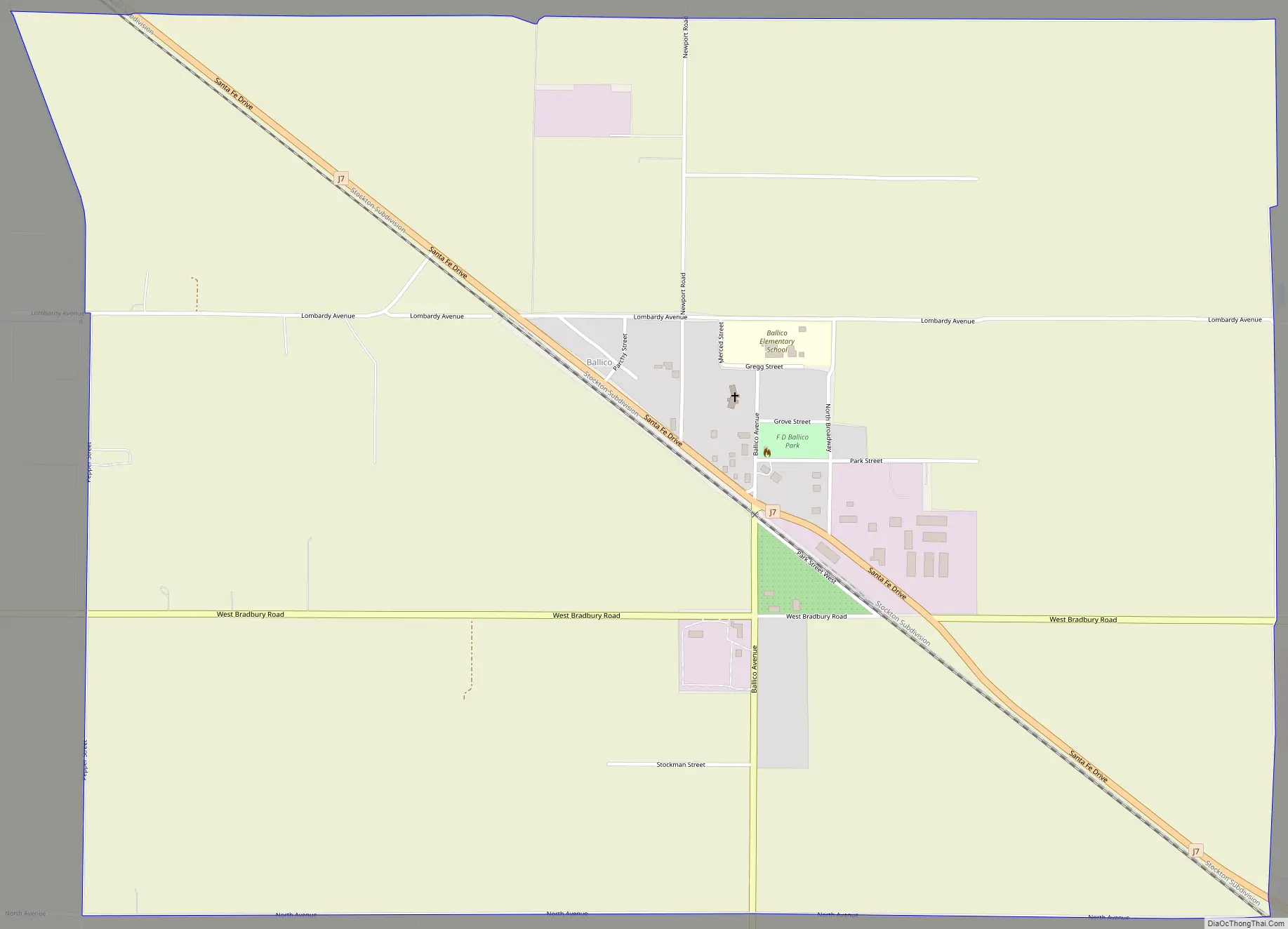
Ballico is located in the northern part of Merced County, just north of where the Santa Fe railroad (the original San Francisco and San Joaquin Valley Railroad line) crosses the Merced River. Delhi is to the west, Denair to the northwest, and Cressey is across the river to the southeast. The ZIP Code is 95303. The community is inside area code 209.
The name is a portmanteau of Ballantine Company, owner of the ranch on which the town was built.
| Name: | Ballico CDP |
|---|---|
| LSAD Code: | 57 |
| LSAD Description: | CDP (suffix) |
| State: | California |
| County: | Merced County |
| Elevation: | 151 ft (46 m) |
| Total Area: | 3.02 sq mi (7.8 km²) |
| Land Area: | 3.02 sq mi (7.8 km²) |
| Water Area: | 0.00 sq mi (0.0 km²) 0% |
| Total Population: | 347 |
| Population Density: | 114.82/sq mi (44.33/km²) |
| ZIP code: | 95303 |
| Area code: | 209 |
| FIPS code: | 0603708 |
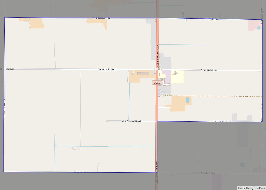
Online Interactive Map
Click on ![]() to view map in "full screen" mode.
to view map in "full screen" mode.
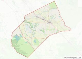
Ballico location map. Where is Ballico CDP?
Ballico Road Map
Ballico city Satellite Map

Geography
According to the United States Census Bureau, the CDP covers an area of 3.0 square miles (7.8 km), all of it land.
See also
Map of California State and its subdivision:- Alameda
- Alpine
- Amador
- Butte
- Calaveras
- Colusa
- Contra Costa
- Del Norte
- El Dorado
- Fresno
- Glenn
- Humboldt
- Imperial
- Inyo
- Kern
- Kings
- Lake
- Lassen
- Los Angeles
- Madera
- Marin
- Mariposa
- Mendocino
- Merced
- Modoc
- Mono
- Monterey
- Napa
- Nevada
- Orange
- Placer
- Plumas
- Riverside
- Sacramento
- San Benito
- San Bernardino
- San Diego
- San Francisco
- San Joaquin
- San Luis Obispo
- San Mateo
- Santa Barbara
- Santa Clara
- Santa Cruz
- Shasta
- Sierra
- Siskiyou
- Solano
- Sonoma
- Stanislaus
- Sutter
- Tehama
- Trinity
- Tulare
- Tuolumne
- Ventura
- Yolo
- Yuba
- Alabama
- Alaska
- Arizona
- Arkansas
- California
- Colorado
- Connecticut
- Delaware
- District of Columbia
- Florida
- Georgia
- Hawaii
- Idaho
- Illinois
- Indiana
- Iowa
- Kansas
- Kentucky
- Louisiana
- Maine
- Maryland
- Massachusetts
- Michigan
- Minnesota
- Mississippi
- Missouri
- Montana
- Nebraska
- Nevada
- New Hampshire
- New Jersey
- New Mexico
- New York
- North Carolina
- North Dakota
- Ohio
- Oklahoma
- Oregon
- Pennsylvania
- Rhode Island
- South Carolina
- South Dakota
- Tennessee
- Texas
- Utah
- Vermont
- Virginia
- Washington
- West Virginia
- Wisconsin
- Wyoming