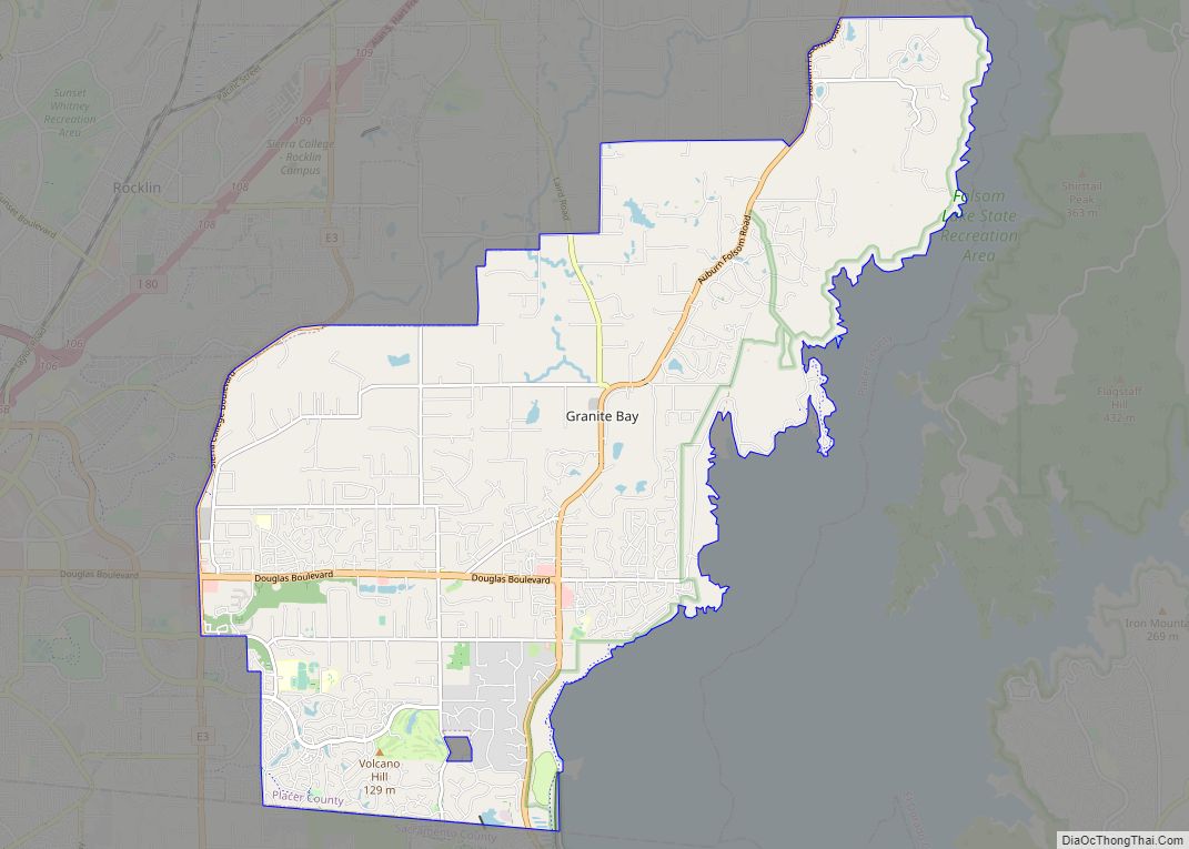
Loomis (formerly Pine, Pino, Smithville, and Placer) is an incorporated town in Placer County, California, United States. It is part of the Sacramento–Arden-Arcade–Roseville Metropolitan Statistical Area. The town’s population was reported as 6,836 in the 2020 United States Census. It shares borders with the city of Rocklin and the Census-Designated Places Penryn and Granite Bay.
| Name: | Loomis town |
|---|---|
| LSAD Code: | 43 |
| LSAD Description: | town (suffix) |
| State: | California |
| County: | Placer County |
| Incorporated: | December 17, 1984 |
| Elevation: | 404 ft (123 m) |
| Total Area: | 7.27 sq mi (18.82 km²) |
| Land Area: | 7.27 sq mi (18.82 km²) |
| Water Area: | 0.00 sq mi (0.00 km²) 0% |
| Total Population: | 6,430 |
| Population Density: | 944.95/sq mi (364.82/km²) |
| ZIP code: | 95650 |
| Area code: | 916, 279 |
| FIPS code: | 0643140 |
| GNISfeature ID: | 0277546 |
Online Interactive Map
Click on ![]() to view map in "full screen" mode.
to view map in "full screen" mode.
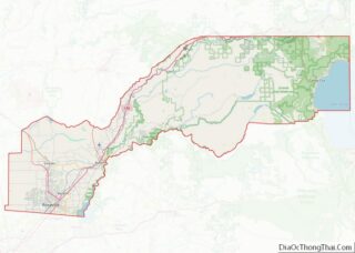
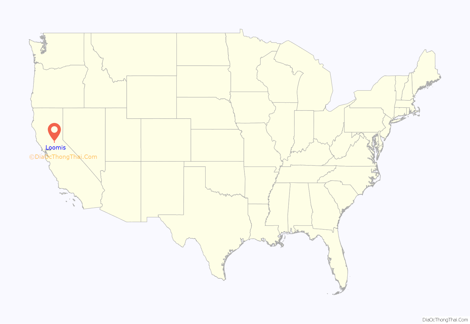
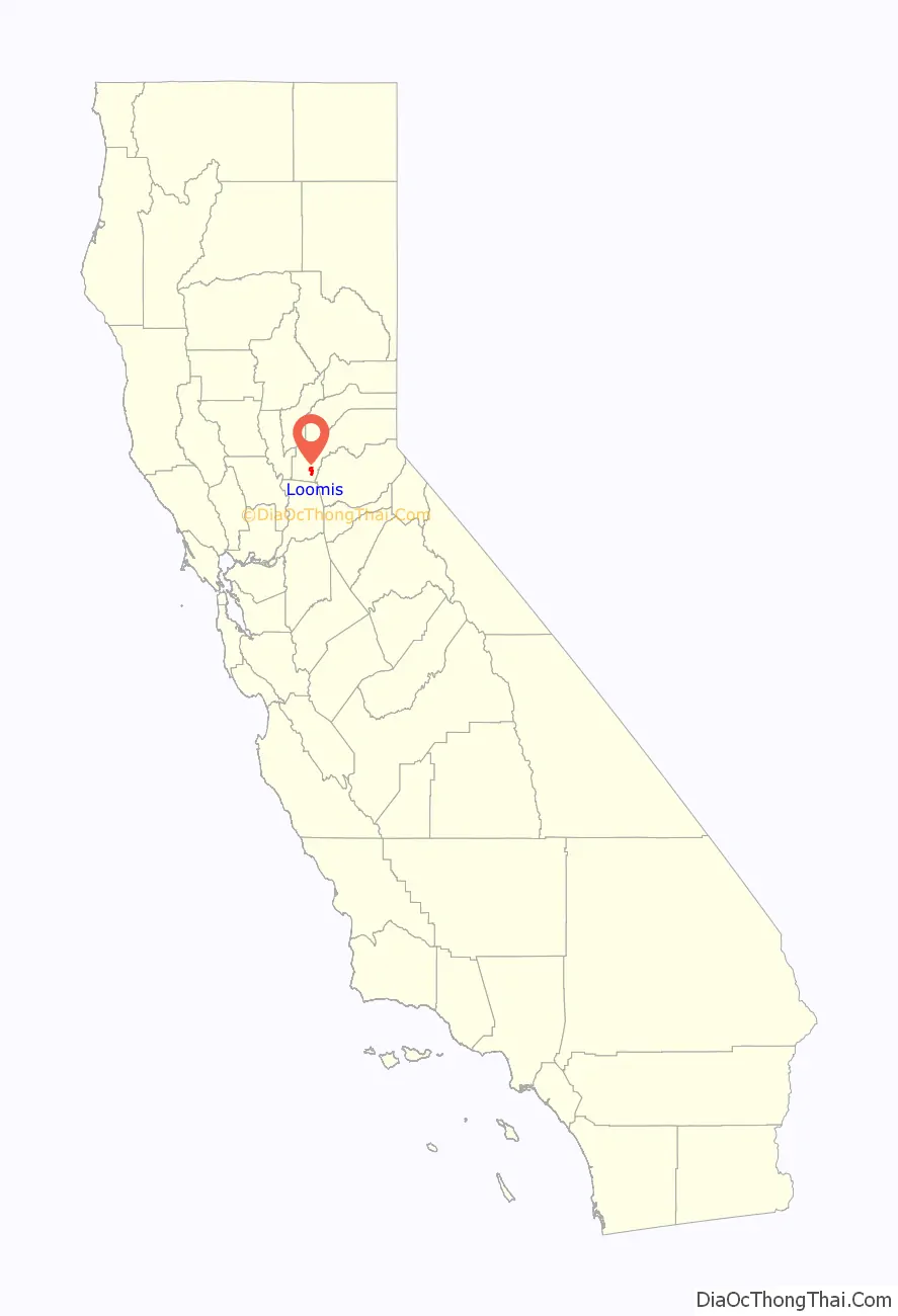
Loomis location map. Where is Loomis town?
History
The Placer post office opened on the site in 1861, changed its name to Smithville in 1862, then changed it to Pino in 1869, and in 1890 the Southern Pacific Railroad finally decided on Loomis. The railroad and Post Office found that Pino was confused with the town of Reno, hence the name change to Loomis. The name Smithville honors L.G. Smith, who was one of the town’s most prominent leaders.
Loomis takes its name from one of the town’s pioneers, James Loomis. At one time, James Loomis was the whole town—saloon keeper, railroad agent, express agent, and postmaster. In the early part of the 20th century, Loomis was the second largest fruit-shipping station in Placer County, Newcastle California, just 6 mi (9.7 km) east of Loomis, was considered the largest.
Loomis remained part of unincorporated Placer County until December 17, 1984, when the Town of Loomis officially incorporated. The Town was in danger of being annexed by its neighbor Rocklin and the residents voted to incorporate to preserve local control, partly on the issue of preserving the “small town” character and historic structures such as the High Hand and Blue Goose fruit packing sheds which sit between Taylor Road (a segment of historic Highway 40) and the Union Pacific Railroad tracks.
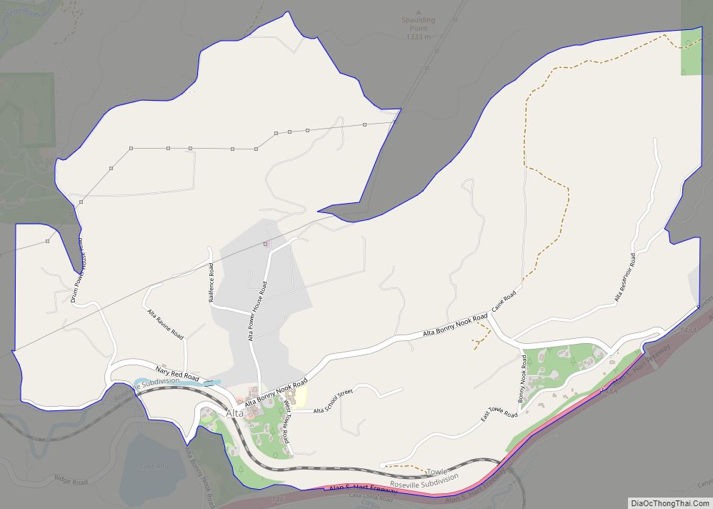
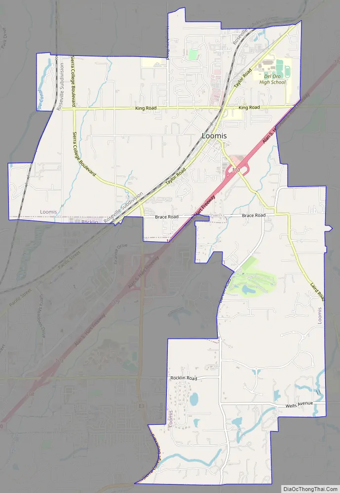
Loomis Road Map
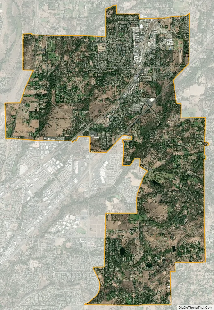
Loomis city Satellite Map
Geography
According to the United States Census Bureau, the town has a total area of 7.27 square miles (18.8 km), all land. Stream drainages in Loomis are Antelope Creek and Secret Ravine.
See also
Map of California State and its subdivision:- Alameda
- Alpine
- Amador
- Butte
- Calaveras
- Colusa
- Contra Costa
- Del Norte
- El Dorado
- Fresno
- Glenn
- Humboldt
- Imperial
- Inyo
- Kern
- Kings
- Lake
- Lassen
- Los Angeles
- Madera
- Marin
- Mariposa
- Mendocino
- Merced
- Modoc
- Mono
- Monterey
- Napa
- Nevada
- Orange
- Placer
- Plumas
- Riverside
- Sacramento
- San Benito
- San Bernardino
- San Diego
- San Francisco
- San Joaquin
- San Luis Obispo
- San Mateo
- Santa Barbara
- Santa Clara
- Santa Cruz
- Shasta
- Sierra
- Siskiyou
- Solano
- Sonoma
- Stanislaus
- Sutter
- Tehama
- Trinity
- Tulare
- Tuolumne
- Ventura
- Yolo
- Yuba
- Alabama
- Alaska
- Arizona
- Arkansas
- California
- Colorado
- Connecticut
- Delaware
- District of Columbia
- Florida
- Georgia
- Hawaii
- Idaho
- Illinois
- Indiana
- Iowa
- Kansas
- Kentucky
- Louisiana
- Maine
- Maryland
- Massachusetts
- Michigan
- Minnesota
- Mississippi
- Missouri
- Montana
- Nebraska
- Nevada
- New Hampshire
- New Jersey
- New Mexico
- New York
- North Carolina
- North Dakota
- Ohio
- Oklahoma
- Oregon
- Pennsylvania
- Rhode Island
- South Carolina
- South Dakota
- Tennessee
- Texas
- Utah
- Vermont
- Virginia
- Washington
- West Virginia
- Wisconsin
- Wyoming