Los Altos Hills (US: /lɔːs ˈæltoʊs/; Los Altos, Spanish for “The Heights”) is an incorporated town in Santa Clara County, California, United States. The population was 8,489 at the 2020 census. The town is known for its affluence and expensive residential real estate.
| Name: | Los Altos Hills town |
|---|---|
| LSAD Code: | 43 |
| LSAD Description: | town (suffix) |
| State: | California |
| County: | Santa Clara County |
| Incorporated: | January 27, 1956 |
| Elevation: | 292 ft (89 m) |
| Total Area: | 9.03 sq mi (23.38 km²) |
| Land Area: | 9.03 sq mi (23.38 km²) |
| Water Area: | 0.00 sq mi (0.00 km²) 0% |
| Total Population: | 8,489 |
| Population Density: | 940/sq mi (360/km²) |
| ZIP code: | 94022, 94024 |
| Area code: | 650 |
| FIPS code: | 0643294 |
| GNISfeature ID: | 1659746 |
| Website: | http://www.losaltoshills.ca.gov/ |
Online Interactive Map
Click on ![]() to view map in "full screen" mode.
to view map in "full screen" mode.
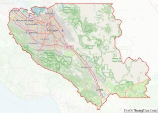
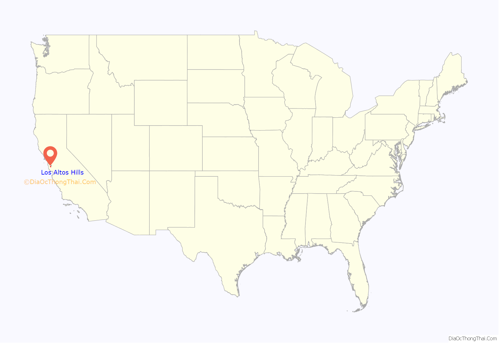
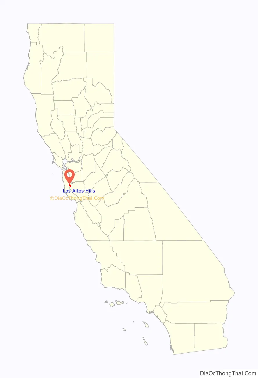
Los Altos Hills location map. Where is Los Altos Hills town?
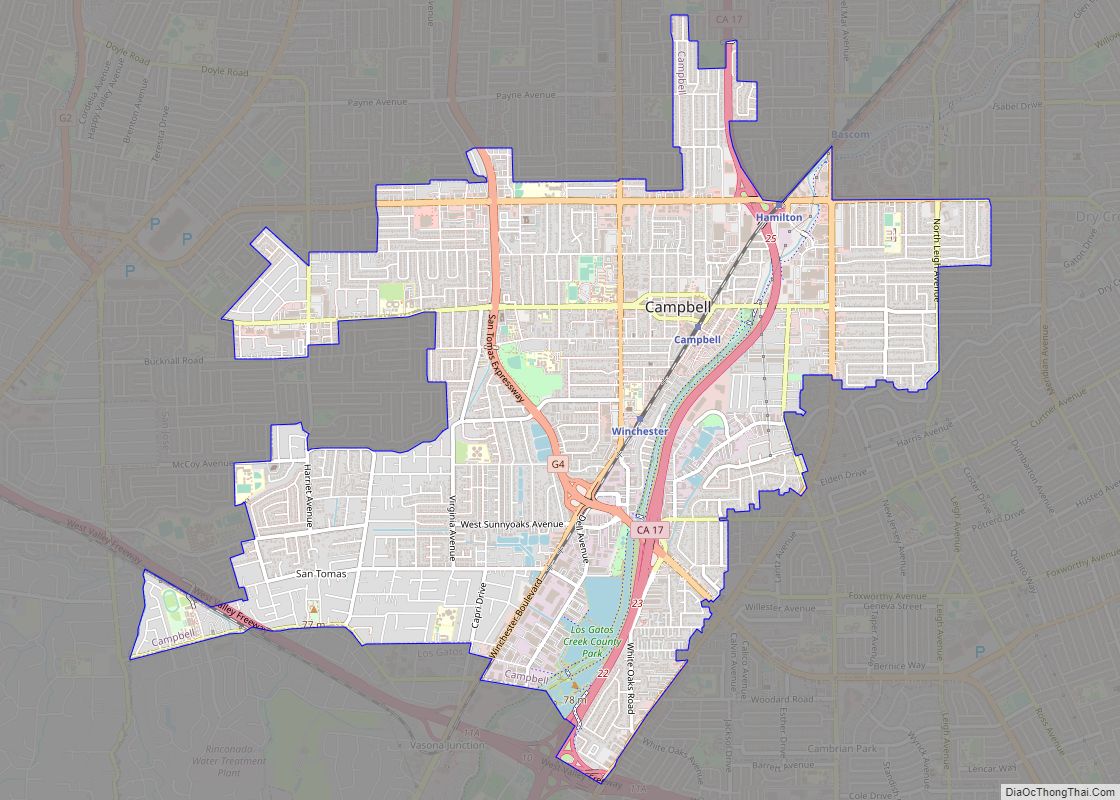
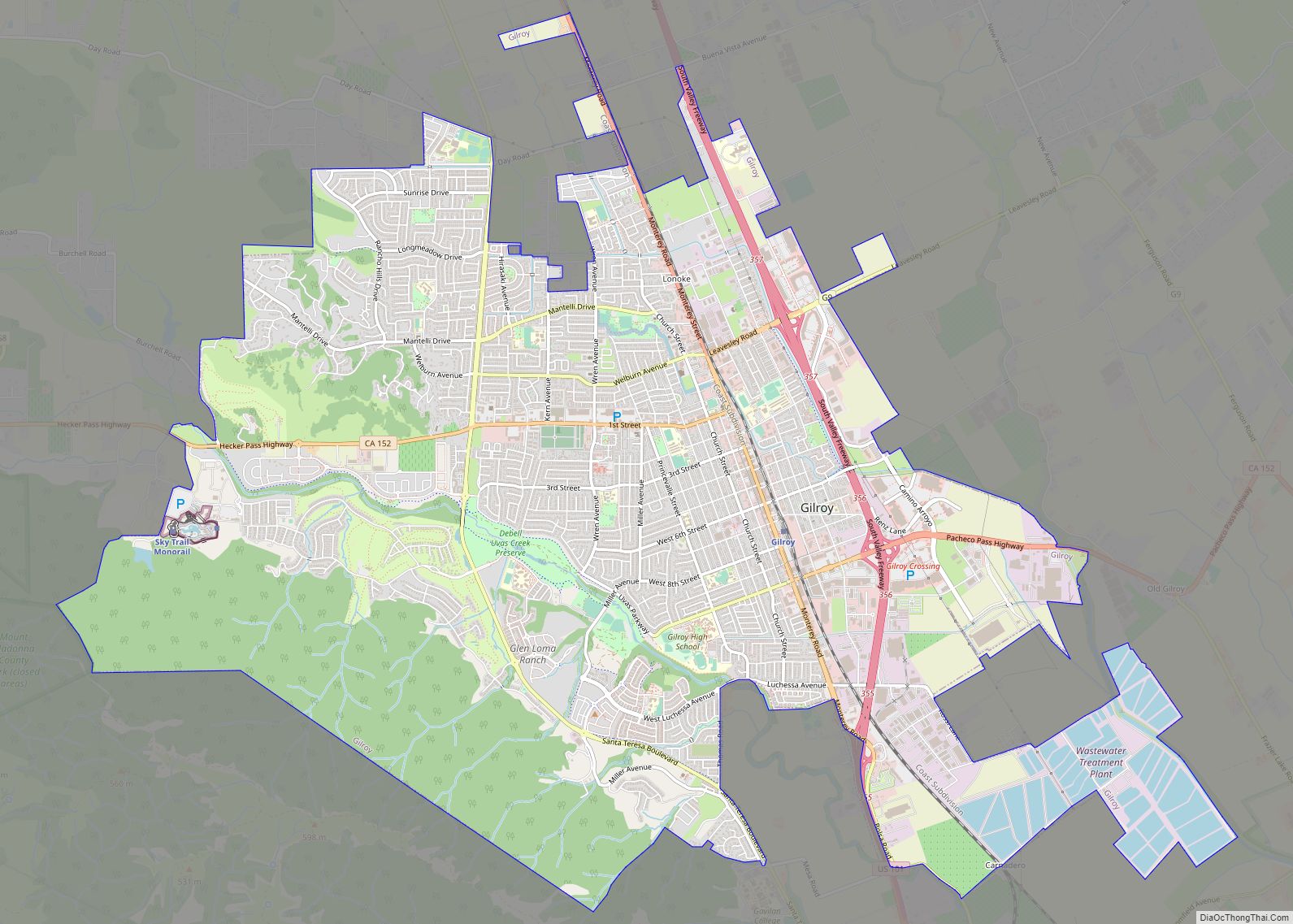
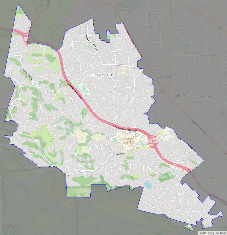
Los Altos Hills Road Map
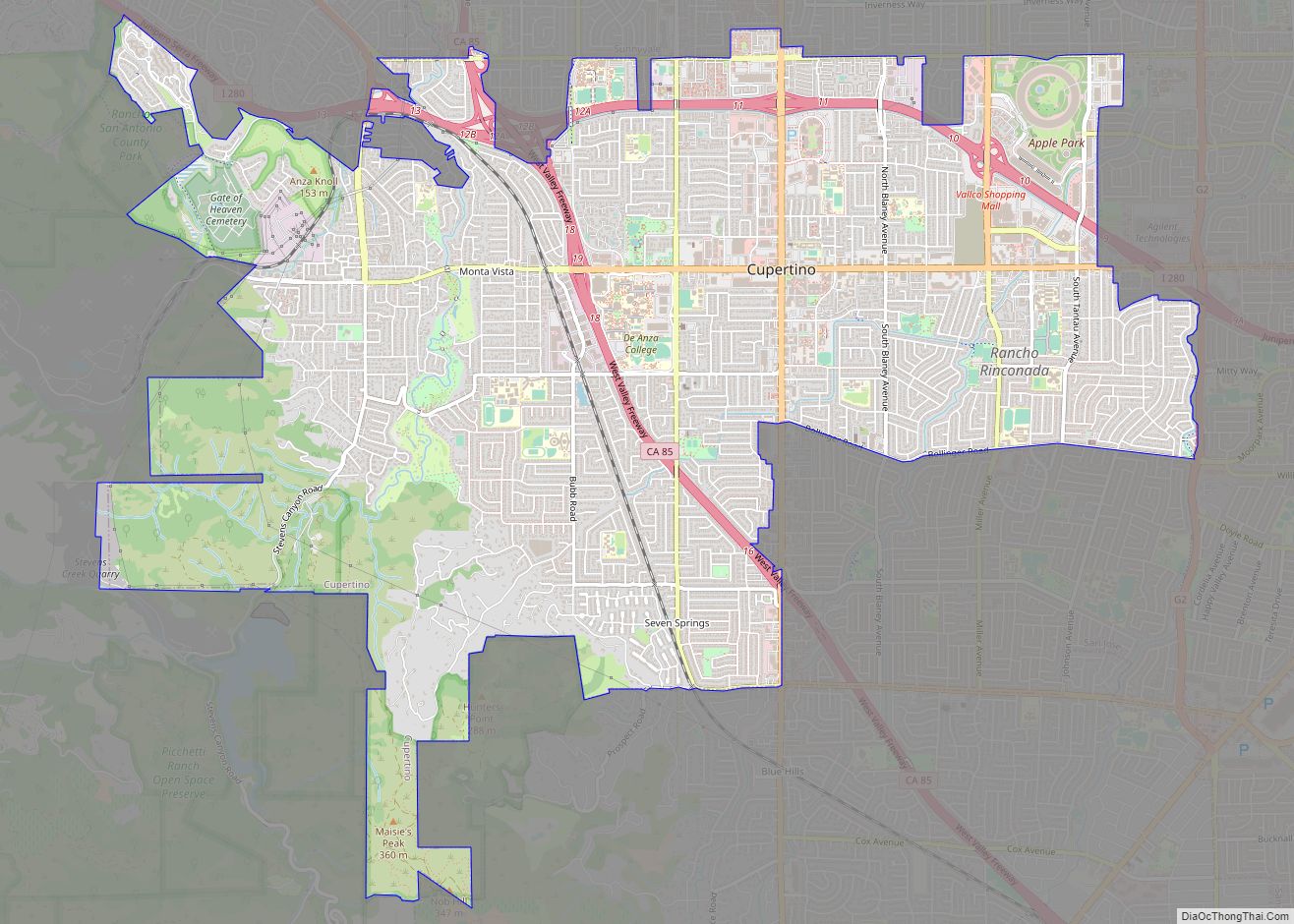
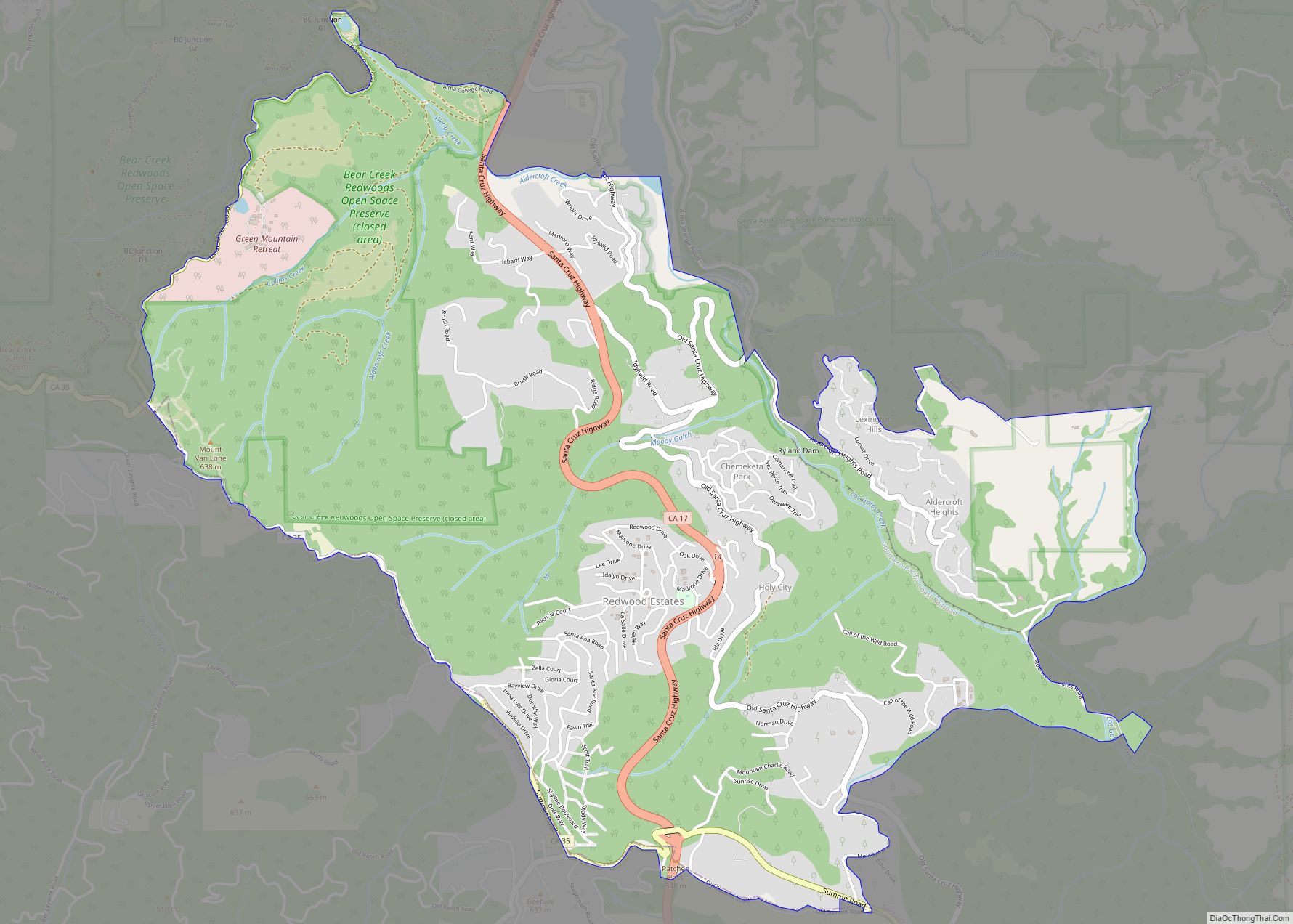
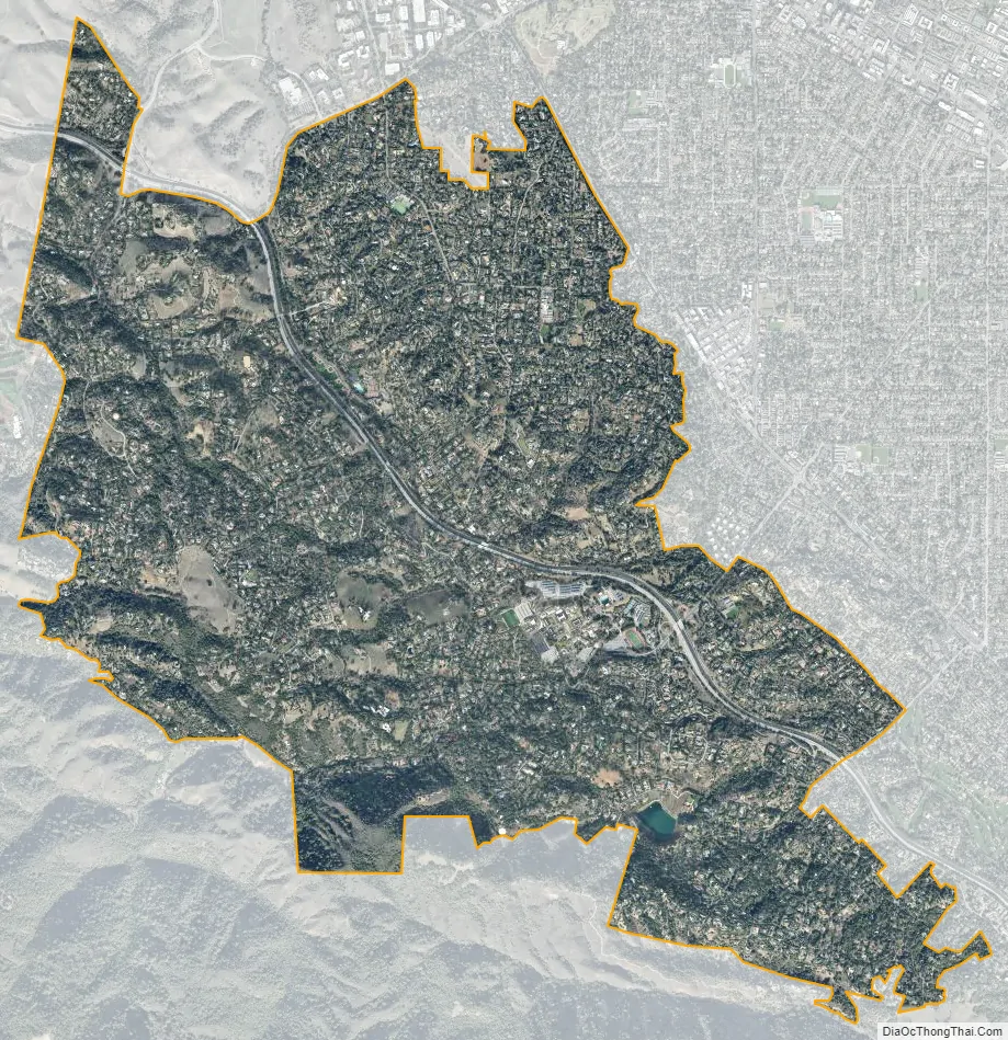
Los Altos Hills city Satellite Map
Geography
Los Altos Hills is located at 37°22′17″N 122°8′15″W / 37.37139°N 122.13750°W / 37.37139; -122.13750 (37.371390, -122.137605).
According to the United States Census Bureau, the town has a total area of 8.8 square miles (23 km), all of it land.
The town is located in a group of small hills. Both the Altamont and Monta Vista Faults pass through the town.
Los Altos Hills maintains a rural feel, similar to the likes of neighboring Woodside and Portola Valley (see: Strictly Residential). There are many open space preserves, such as Rancho San Antonio and Westwind Barn.
The Los Altos Hills ZIP code 94022 appeared on the 2017 Forbes list of America’s most expensive ZIP codes; 94022 was ranked the 3rd most expensive in the United States, with a median home price of $7,755,000. In 2019, a Bloomberg analysis ranked Los Altos Hills the fourth richest town in the United States.
Strictly residential
Los Altos Hills has a ban on commercial zones, which was upheld by the California Court of Appeal (First District) in 1973. The town’s two retail commercial operations are the book store on the campus of Foothill College and the gift shop on the grounds of the Immaculate Heart Monastery of the Poor Clare Colettines. The town does not have a post office or library, with mail delivery provided from nearby Los Altos.
The town’s zoning regulations require a minimum lot size of one acre (4,000 m²), setbacks from the property boundary, and easements for public pathways. Landowners are limited to one primary dwelling per lot, which effectively bans multifamily housing; this ban and the minimum lot size were upheld as constitutional by the U.S. Court of Appeals for the Ninth Circuit in 1974.
The town contracts with Santa Clara County for police and fire services, making it a so-called “contract city” under California law.
The town is home to a monastery of the Immaculate Heart of the Poor Clare Colettines.
See also
Map of California State and its subdivision:- Alameda
- Alpine
- Amador
- Butte
- Calaveras
- Colusa
- Contra Costa
- Del Norte
- El Dorado
- Fresno
- Glenn
- Humboldt
- Imperial
- Inyo
- Kern
- Kings
- Lake
- Lassen
- Los Angeles
- Madera
- Marin
- Mariposa
- Mendocino
- Merced
- Modoc
- Mono
- Monterey
- Napa
- Nevada
- Orange
- Placer
- Plumas
- Riverside
- Sacramento
- San Benito
- San Bernardino
- San Diego
- San Francisco
- San Joaquin
- San Luis Obispo
- San Mateo
- Santa Barbara
- Santa Clara
- Santa Cruz
- Shasta
- Sierra
- Siskiyou
- Solano
- Sonoma
- Stanislaus
- Sutter
- Tehama
- Trinity
- Tulare
- Tuolumne
- Ventura
- Yolo
- Yuba
- Alabama
- Alaska
- Arizona
- Arkansas
- California
- Colorado
- Connecticut
- Delaware
- District of Columbia
- Florida
- Georgia
- Hawaii
- Idaho
- Illinois
- Indiana
- Iowa
- Kansas
- Kentucky
- Louisiana
- Maine
- Maryland
- Massachusetts
- Michigan
- Minnesota
- Mississippi
- Missouri
- Montana
- Nebraska
- Nevada
- New Hampshire
- New Jersey
- New Mexico
- New York
- North Carolina
- North Dakota
- Ohio
- Oklahoma
- Oregon
- Pennsylvania
- Rhode Island
- South Carolina
- South Dakota
- Tennessee
- Texas
- Utah
- Vermont
- Virginia
- Washington
- West Virginia
- Wisconsin
- Wyoming