Loyola is a census-designated place in Santa Clara County, California, United States. The population was 3,491 at the 2020 census. The woodsy area is located between the cities of Los Altos and Los Altos Hills. It is the home of Facebook’s first headquarters. Homes in the area range from cottages to mansions. It is named for Ignatius of Loyola, a Spanish saint and founder of the Jesuits.
| Name: | Loyola CDP |
|---|---|
| LSAD Code: | 57 |
| LSAD Description: | CDP (suffix) |
| State: | California |
| County: | Santa Clara County |
| Elevation: | 243 ft (75 m) |
| Total Area: | 1.468 sq mi (3.803 km²) |
| Land Area: | 1.468 sq mi (3.803 km²) |
| Water Area: | 0 sq mi (0 km²) 0% |
| Total Population: | 3,491 |
| Population Density: | 2,400/sq mi (920/km²) |
| ZIP code: | 94024 |
| Area code: | 650 |
| FIPS code: | 0644378 |
Online Interactive Map
Click on ![]() to view map in "full screen" mode.
to view map in "full screen" mode.
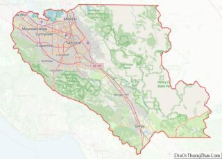
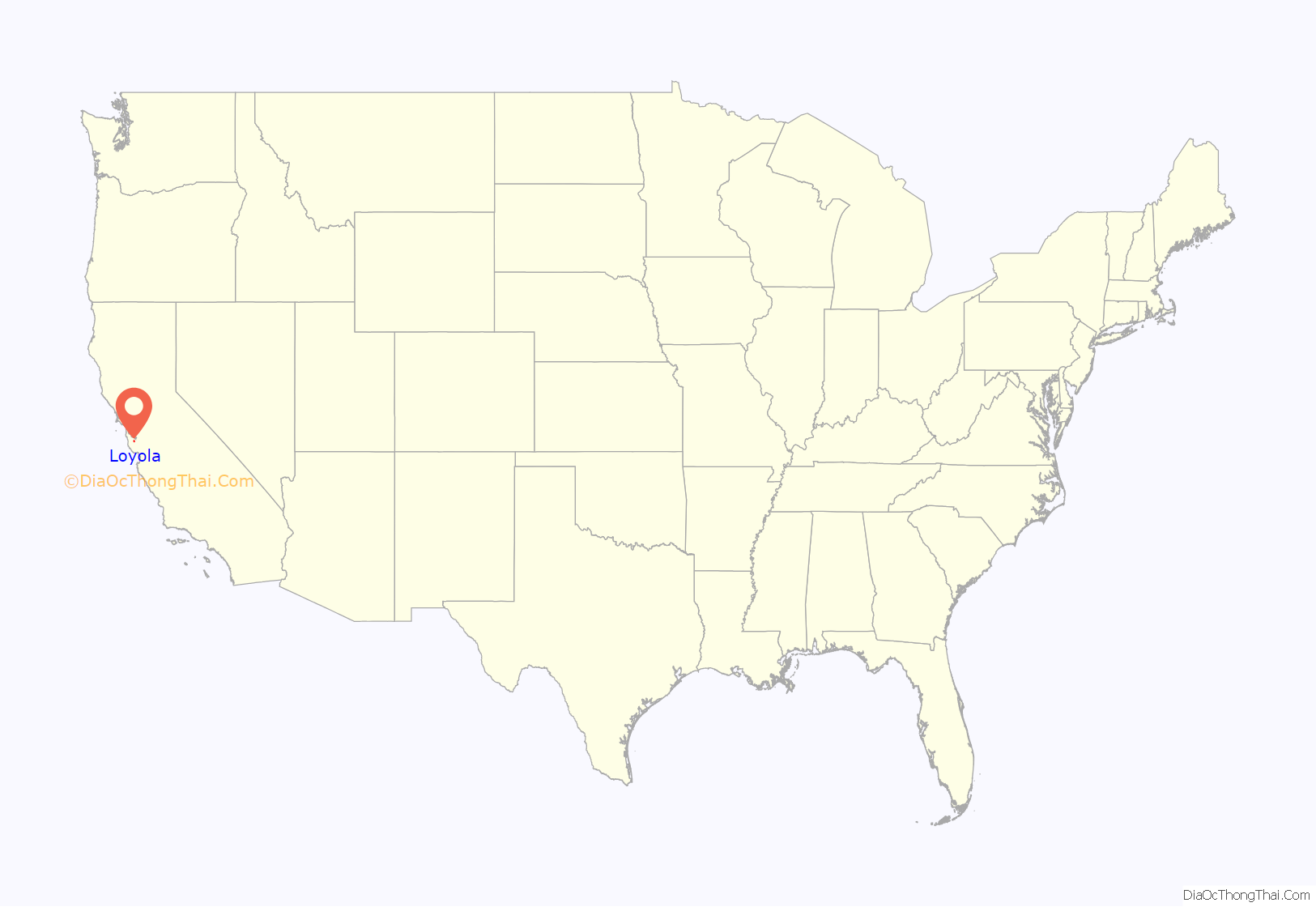
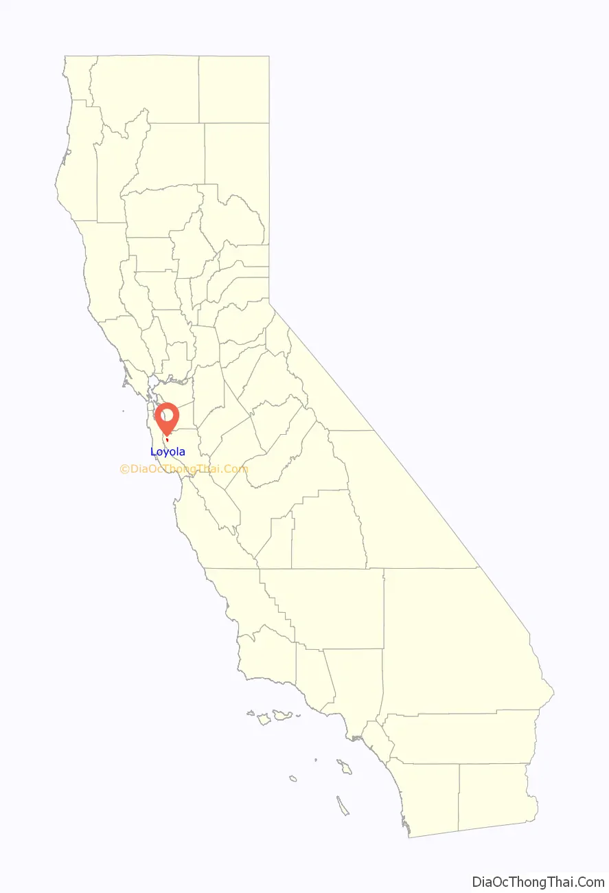
Loyola location map. Where is Loyola CDP?
History
The name comes from a 1904 plan by the Jesuits of Santa Clara University to build a new university named for their founder, St. Ignatius of Loyola, in the area. If the plan had come to fruition, the university would have been located in the area of the present-day golf course on Country Club Drive. The Loyola project succumbed to delays and financing problems stemming from the 1906 San Francisco earthquake.
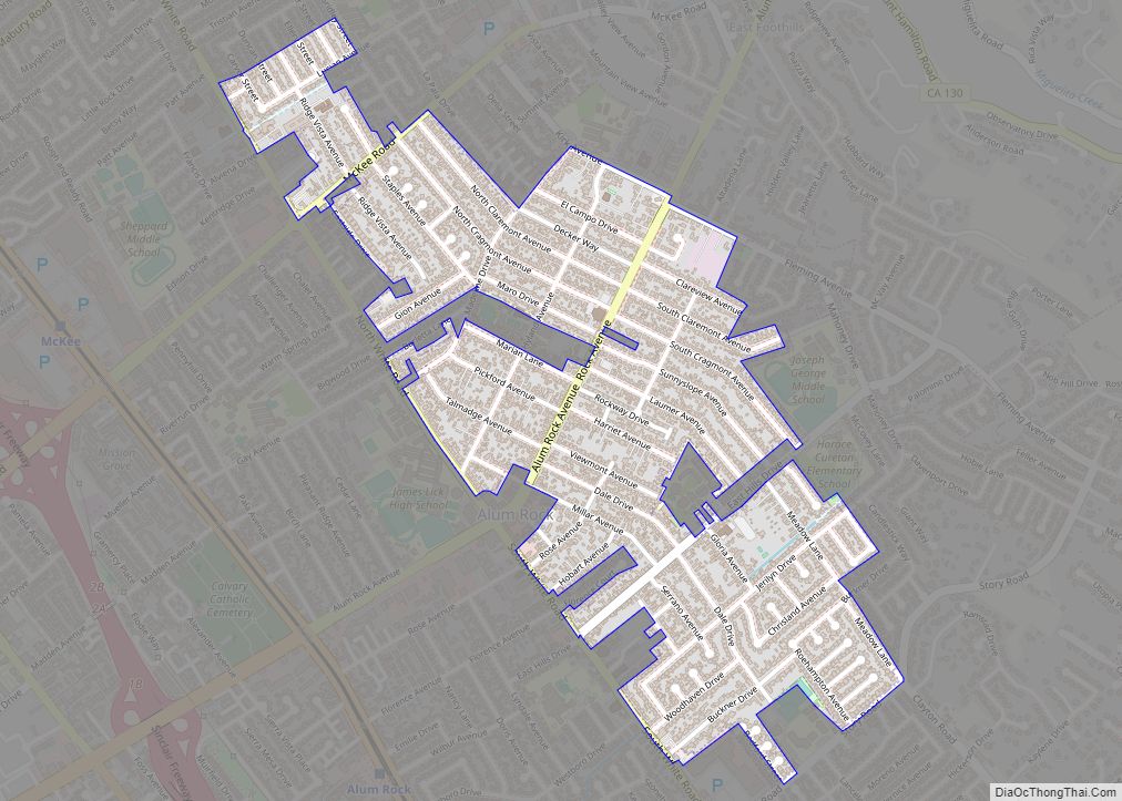
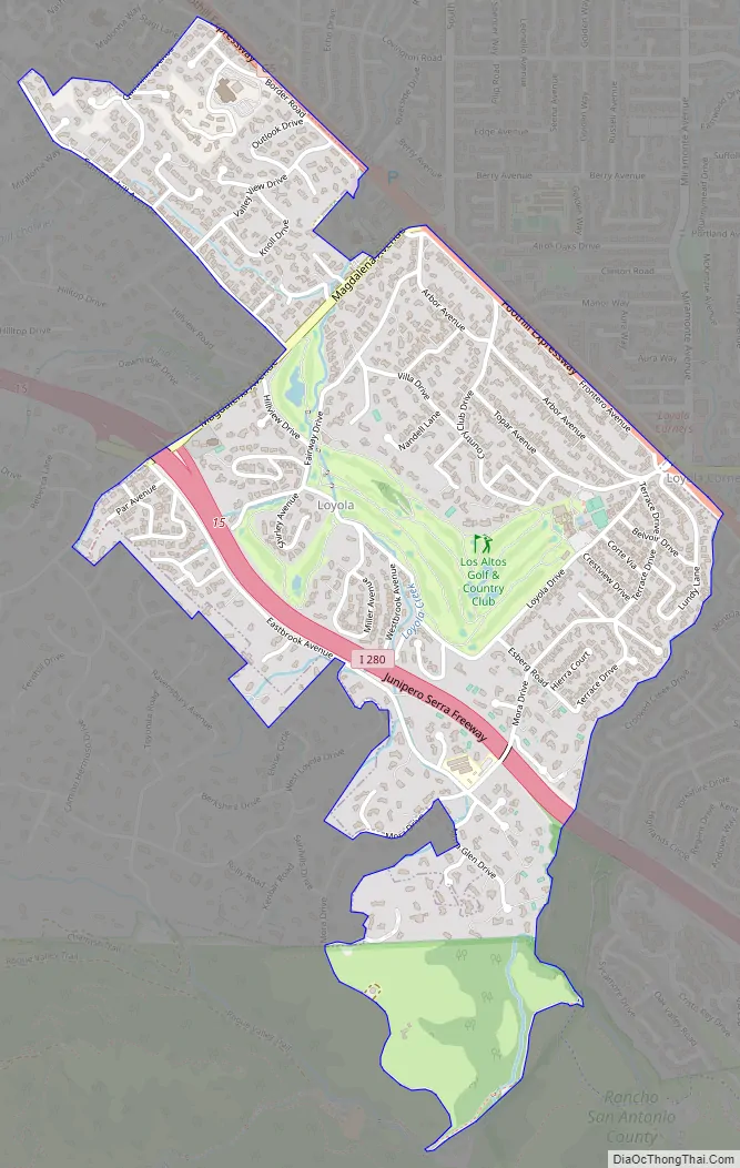
Loyola Road Map
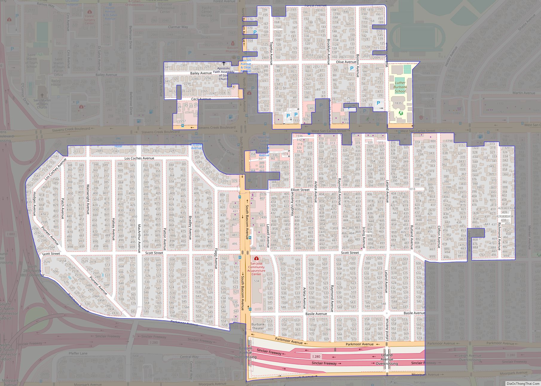
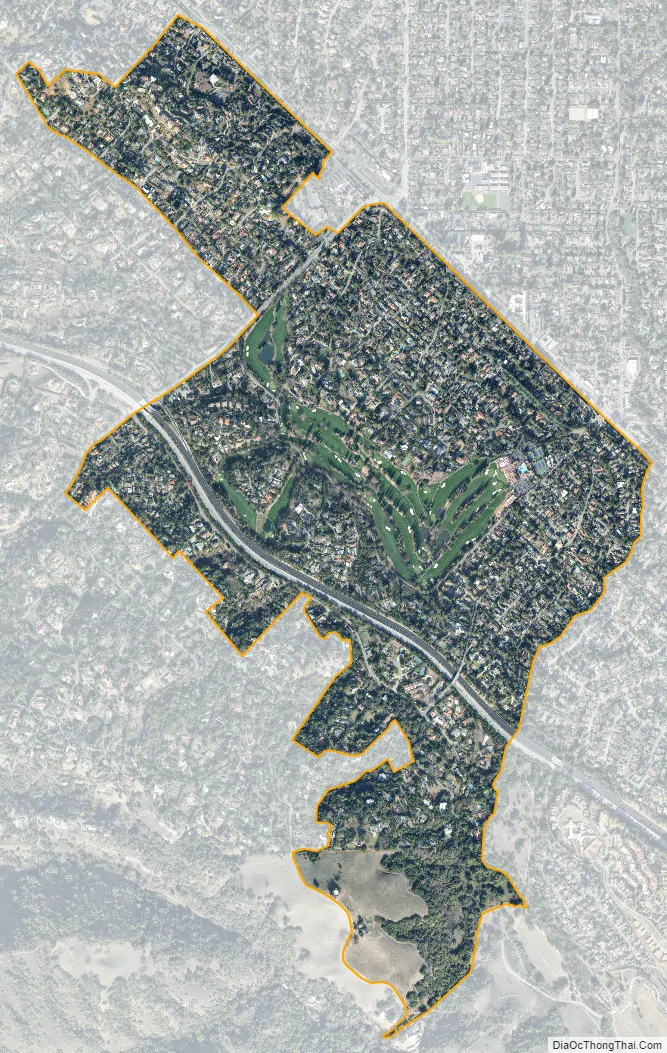
Loyola city Satellite Map
Geography
Loyola is located at 37°21′5″N 122°6′2″W / 37.35139°N 122.10056°W / 37.35139; -122.10056 (37.351391, -122.100526).
According to the United States Census Bureau, the CDP has a total area of 1.5 square miles (3.9 km), all of it land.
See also
Map of California State and its subdivision:- Alameda
- Alpine
- Amador
- Butte
- Calaveras
- Colusa
- Contra Costa
- Del Norte
- El Dorado
- Fresno
- Glenn
- Humboldt
- Imperial
- Inyo
- Kern
- Kings
- Lake
- Lassen
- Los Angeles
- Madera
- Marin
- Mariposa
- Mendocino
- Merced
- Modoc
- Mono
- Monterey
- Napa
- Nevada
- Orange
- Placer
- Plumas
- Riverside
- Sacramento
- San Benito
- San Bernardino
- San Diego
- San Francisco
- San Joaquin
- San Luis Obispo
- San Mateo
- Santa Barbara
- Santa Clara
- Santa Cruz
- Shasta
- Sierra
- Siskiyou
- Solano
- Sonoma
- Stanislaus
- Sutter
- Tehama
- Trinity
- Tulare
- Tuolumne
- Ventura
- Yolo
- Yuba
- Alabama
- Alaska
- Arizona
- Arkansas
- California
- Colorado
- Connecticut
- Delaware
- District of Columbia
- Florida
- Georgia
- Hawaii
- Idaho
- Illinois
- Indiana
- Iowa
- Kansas
- Kentucky
- Louisiana
- Maine
- Maryland
- Massachusetts
- Michigan
- Minnesota
- Mississippi
- Missouri
- Montana
- Nebraska
- Nevada
- New Hampshire
- New Jersey
- New Mexico
- New York
- North Carolina
- North Dakota
- Ohio
- Oklahoma
- Oregon
- Pennsylvania
- Rhode Island
- South Carolina
- South Dakota
- Tennessee
- Texas
- Utah
- Vermont
- Virginia
- Washington
- West Virginia
- Wisconsin
- Wyoming