Menifee is a city in Riverside County, California, United States, and is part of the Inland Empire. Named after a local miner, Luther Menifee Wilson, it was settled in the 19th century, and established as an independent city in 2008. Since then, Menifee has become one of the fastest growing cities in California and the United States.
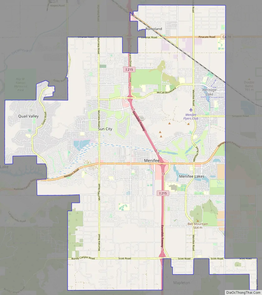
The city is centrally located in Southern California in the Menifee Valley. It is almost 15 miles (24 km) north of Temecula and just north of Murrieta. Menifee is roughly 46 square miles (100 km) in size and has an elevation of 1,424 feet (434 m). The incorporated City of Menifee includes the communities of Sun City, Quail Valley, and Romoland.
| Name: | Menifee city |
|---|---|
| LSAD Code: | 25 |
| LSAD Description: | city (suffix) |
| State: | California |
| County: | Riverside County |
| Incorporated: | October 1, 2008 |
| Elevation: | 1,424 ft (434 m) |
| Total Area: | 46.62 sq mi (120.75 km²) |
| Land Area: | 46.48 sq mi (120.37 km²) |
| Water Area: | 0.15 sq mi (0.38 km²) 0.30% |
| Total Population: | 102,527 |
| Population Density: | 2,205.83/sq mi (851.68/km²) |
| ZIP code: | 92584–92587, 92596 |
| Area code: | 951 |
| FIPS code: | 0646842 |
| Website: | www.cityofmenifee.us |
Online Interactive Map
Click on ![]() to view map in "full screen" mode.
to view map in "full screen" mode.
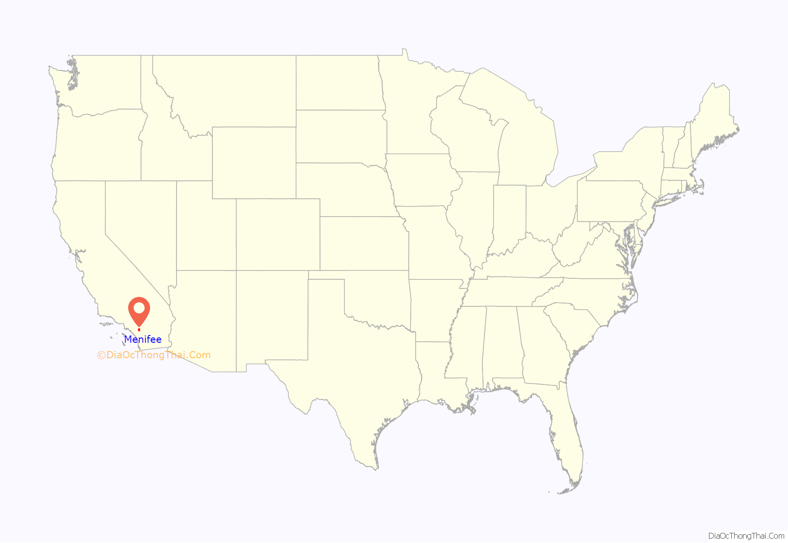
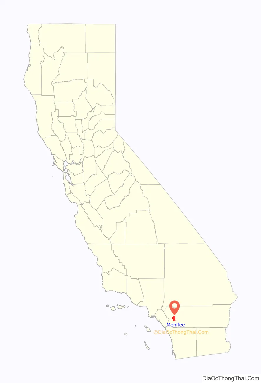
Menifee location map. Where is Menifee city?
History
The area was originally inhabited by the Luiseño people, specifically the Pechanga band. In the 18th century, the area fell under Spanish rule and was ceded by Mexico to the United States in 1848 as a result of the Mexican–American War.
Farming, which began in the mid-19th century, was concentrated in the Menifee area. Mining began in the early 1880s with the discovery of a significant quartz lode by miner Luther Menifee Wilson, from whom Menifee derived its name. Wilson discovered a gold-bearing quartz ledge near present day Holland and Murrieta roads in 1883, and filed a claim with the San Diego County Recorder’s office for this new “Menifee” mine. At the time, the area was referred to as the Menifee Valley.
Early development of the Menifee area began with Sun City in the early 1960s, conceptualized as an active retirement community by Del Webb, a building contractor from Phoenix, Arizona. Webb also developed Sun City, Arizona, under the same concept. Sun City is located in the northwestern part of Menifee and features a mix of residential and commercial activity.
The Menifee area later grew during the late 1980s and early 1990s as a master-planned community. However, a lack of resources such as industry-oriented occupations and high-density retail and commercial businesses caused many residents to drive to cities such as Temecula or Murrieta to shop, dine, or work. In recent years, however, there has been substantial growth in Menifee, attracting many new residents from all areas of Southern California such as San Diego, Orange County and Los Angeles, as well as other parts of the Inland Empire.
On June 3, 2008, the residents of the communities encompassing the Menifee area voted to incorporate together to form Riverside County’s 26th city. The new City of Menifee was officially established on October 1, 2008.
Menifee Road Map
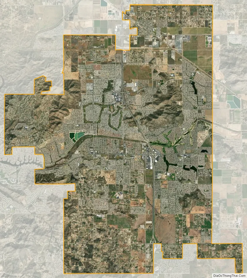
Menifee city Satellite Map
Geography
The city of Menifee is bordered on the north, west, south and east by the cities of Perris, Canyon Lake, Lake Elsinore, Wildomar, Murrieta, and the community of Winchester. The city center of Menifee lies at the intersection of Newport Road and Interstate 215.
According to the United States Census Bureau, the city covers an area of 46.6 square miles (120.7 km), 99.70% of it land, and 0.30% of it water.
Climate
Menifee has mild winters and hot dry Summers.
- On average, the warmest month is August.
- The highest recorded temperature was 117 °F (47 °C) on June 20, 2016.
- On average, the coldest month is December.
- The lowest recorded temperature was 18 °F (−8 °C) on January 1, 1976.
- The maximum average precipitation occurs in February.
Menifee has a Mediterranean climate or Dry-Summer Subtropical (Köppen climate classification Csa). Menifee enjoys plenty of sunshine throughout the year, with an average of 263 sunshine days and only 35 days with measurable precipitation annually of 12.51 inches of rainfall.
The period of April through October is hot and dry with average high temperatures of 83 to 101 °F (28 to 38 °C) and lows of 42 to 66 °F (6 to 19 °C), though in the summer, temperatures can easily exceed 105 °F. The period of November through March is somewhat rainy, as shown in the adjacent table. At times, during the winter, large dust storms may form due to the large mass of humidity and low, flat land.
See also
Map of California State and its subdivision:- Alameda
- Alpine
- Amador
- Butte
- Calaveras
- Colusa
- Contra Costa
- Del Norte
- El Dorado
- Fresno
- Glenn
- Humboldt
- Imperial
- Inyo
- Kern
- Kings
- Lake
- Lassen
- Los Angeles
- Madera
- Marin
- Mariposa
- Mendocino
- Merced
- Modoc
- Mono
- Monterey
- Napa
- Nevada
- Orange
- Placer
- Plumas
- Riverside
- Sacramento
- San Benito
- San Bernardino
- San Diego
- San Francisco
- San Joaquin
- San Luis Obispo
- San Mateo
- Santa Barbara
- Santa Clara
- Santa Cruz
- Shasta
- Sierra
- Siskiyou
- Solano
- Sonoma
- Stanislaus
- Sutter
- Tehama
- Trinity
- Tulare
- Tuolumne
- Ventura
- Yolo
- Yuba
- Alabama
- Alaska
- Arizona
- Arkansas
- California
- Colorado
- Connecticut
- Delaware
- District of Columbia
- Florida
- Georgia
- Hawaii
- Idaho
- Illinois
- Indiana
- Iowa
- Kansas
- Kentucky
- Louisiana
- Maine
- Maryland
- Massachusetts
- Michigan
- Minnesota
- Mississippi
- Missouri
- Montana
- Nebraska
- Nevada
- New Hampshire
- New Jersey
- New Mexico
- New York
- North Carolina
- North Dakota
- Ohio
- Oklahoma
- Oregon
- Pennsylvania
- Rhode Island
- South Carolina
- South Dakota
- Tennessee
- Texas
- Utah
- Vermont
- Virginia
- Washington
- West Virginia
- Wisconsin
- Wyoming


