Monrovia is a city in the foothills of the San Gabriel Mountains in the San Gabriel Valley of Los Angeles County, California, United States. The population was 37,931 at the 2020 census. Monrovia has been used for filming TV shows, movies and commercials.
| Name: | Monrovia city |
|---|---|
| LSAD Code: | 25 |
| LSAD Description: | city (suffix) |
| State: | California |
| County: | Los Angeles County |
| Incorporated: | December 15, 1887 |
| Elevation: | 571 ft (174 m) |
| Total Area: | 13.74 sq mi (35.59 km²) |
| Land Area: | 13.63 sq mi (35.31 km²) |
| Water Area: | 0.11 sq mi (0.28 km²) 0.79% |
| Total Population: | 37,931 |
| Population Density: | 2,782/sq mi (1,074.2/km²) |
| Area code: | 626 |
| FIPS code: | 0648648 |
| GNISfeature ID: | 1661049 |
| Website: | www.cityofmonrovia.org |
Online Interactive Map
Click on ![]() to view map in "full screen" mode.
to view map in "full screen" mode.
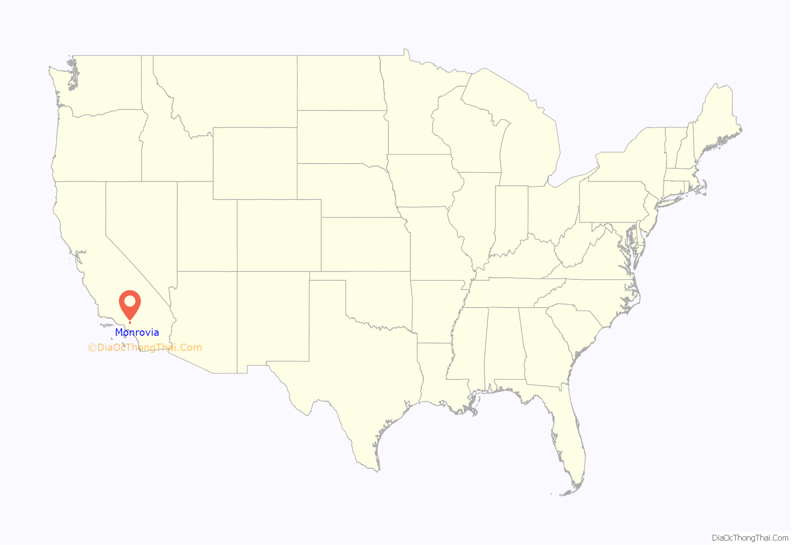
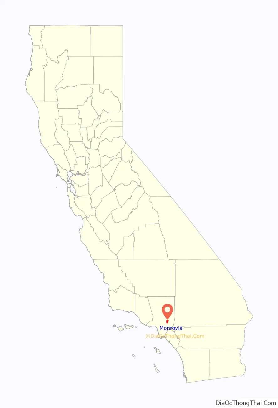
Monrovia location map. Where is Monrovia city?
History
Monrovia is the fourth-oldest general-law city in Los Angeles County and the L.A. Basin (after Los Angeles, Santa Monica, and Pasadena, all now charter cities). Incorporated in 1887, it has grown from a sparse community of orange ranches to a residential community of over 37,000.
Around 500 BC, the Tongva, a band of Shoshonean-speaking Indians, established settlements in what is now the San Gabriel Valley. They were called the Gabrieliño Indians by early Spanish missionaries, a tribe of Mission Indians. The Tongva were not farmers; they gathered wild seeds, berries, and plants along rivers and in marshlands. Abundant oaks in the Valley, such as Coast Live Oak and Interior Live Oak, provided a staple of the Tongva diet: acorn mush made of boiled acorn flour.
In 1769, the Portolà expedition was the first recorded Spanish (or any European) land entry and exploration of present-day California, then the Spanish colonial Las Californias Province of the Viceroyalty of New Spain (colonial México). In 1542, Juan Rodríguez Cabrillo claimed it from sea for the King of Spain. The expedition led by Gaspar de Portolà proceeded north from San Diego, passing through the area en route to Monterey Bay. Accompanying Portolà was Franciscan padre Juan Crespí, the expedition’s diarist. Much of what is known of early California is from Crespi’s detailed descriptions.
In 1771, Franciscans established the Mission San Gabriel Arcangel in the San Gabriel Valley. The mission continued after Mexican independence in 1822. In 1833, the Mexican Congress initiated secularization of the missions in Alta California, to begin seizure of mission properties for sale to private rancho grantees.
In 1841, Alta California Governor Juan Alvarado issued Mexican land grants for Rancho Azusa de Duarte to Andrés Duarte, a Mexican soldier; and for Rancho Santa Anita to Hugo Reid, a naturalized Mexican citizen of Scottish birth. Monrovia is made of parts of these two ranchos.
In the mid-19th century, most of Rancho Azusa de Duarte was subdivided and sold by Duarte to settle his debts. Some of those parcels became part of the ranch of William N. Monroe, Monrovia’s eponym.
Rancho Santa Anita changed hands several times before the multimillionaire, silver baron and rancher E.J. “Lucky” Baldwin acquired it in 1875. That same year his Los Angeles Investment Company began subdividing and selling parcels from many of his ranchos. In 1883, 240 acres (970,000 m) of Rancho Santa Anita were sold to Monroe for $30,000. Additional parcels of Rancho Santa Anita were sold to Edward F. Spence, John D. Bicknell, James F. Crank, and J.F. Falvey.
The completion of the Los Angeles and San Gabriel Valley Railroad in 1887, later sold to the Santa Fe (which would run through Monrovia) and Southern Pacific railroads to Southern California brought new people looking for homes and investment opportunities. With this in mind, Monroe, Spence, Bicknell, Crank, and Falvey combined their land under the business name of the Monrovia Land and Water Company in 1886, centered at Orange (now Colorado Boulevard) and Myrtle Avenues; the first tract extended from Magnolia Avenue on the west to Charlotte Avenue (Canyon Boulevard) on the east, a half block south of Walnut on the south and a half block north of Lime on the north. The subdivision was subdivided into 600 500-foot (150 m) by 160-foot (49 m) (1.84 acre) lots and sold.
The town was incorporated in 1887 under the leadership of prohibitionists who wished to control the arrival of an unwelcome saloon. The newly formed government’s first order of business was to pass a tippler’s law, prohibiting the sale of alcohol.
In 1903, the Monrovia News was established. The same year, the Pacific Electric was opened, providing transportation to and from Los Angeles, making it possible for Monrovia homeowners to work in Los Angeles.
In 1905, Carnegie funds became available and, with the help of the Board of Trade (forerunner to the Chamber of Commerce) and the Monrovia Women’s Club, a bond issue was passed to purchase the Granite Bank Building to be used as a city hall, and to acquire property for a public park. The Granite Building has served as the city hall, fire and police department facilities since 1961 and the fire department since 1974. In 1956, the old Carnegie library building was torn down and a new library was constructed. In March 2007, a new library was voted on by the people of Monrovia. It won with 70% yes votes. The library now has 190,000 books, a heritage room for historical documents, and areas for children, teens, and adults.
A city council–manager type government was instituted in 1923.
In 1930, the Monrovia Airport, also known as the Foothill Flying Club, was commercially established. The small airstrip claimed to have had 12,000 paying customers use the airfield in 1932 and on May 19, 1938, the first airmail flight took off from Monrovia Airport. Ownership of the airport changed hands several times while it was in operation; pilots remembered it as “the friendliest little airport in the country.” Apart from usage by Riley Brothers, TWA Captain and former airshow pilot Kalman Irwin, and Pancho Barnes, the airfield is well-known for its use as a movie-filming location. The first movie filmed at the Monrovia Airport was The Fighting Pilot. Other films shot at the airfield include 20,000 Men a Year, The Great Plane Robbery, and most notably, The Big Noise, featuring Laurel and Hardy. The 35-acre airfield, used as a runway as well as an airplane repair and storage service, was forced to close in 1953 after being sold to Consolidated Engineering Corporation for redevelopment as a result of increased land values.
Monrovia was the home to the precursor to McDonald’s. In 1937, Patrick McDonald opened a food stand on Huntington Drive (Route 66) near the old Monrovia Airport called “The Airdrome” (hamburgers were ten cents, and all-you-can-drink orange juice was five cents); it remained there until 1940, when he and his two sons, Maurice and Richard, moved the building 40 miles (64 km) east to San Bernardino to the corner of West 14th Street and 1398 North E Street, renaming it “McDonald’s”.
The Upton Sinclair House, home to activist and author Upton Sinclair, is in Monrovia and is a National Historic Landmark. In 1995, Monrovia received the All America City Award from the National Civic League.
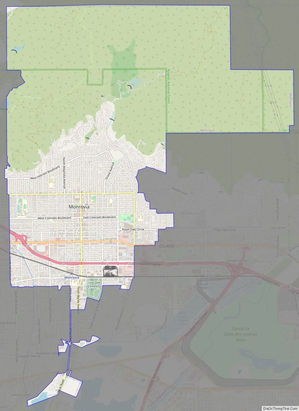
Monrovia Road Map
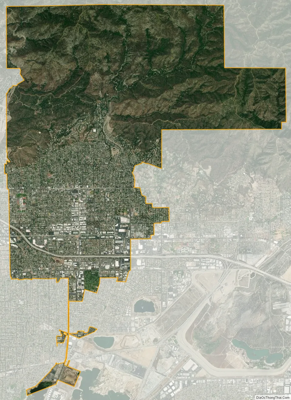
Monrovia city Satellite Map
Geography
According to the United States Census Bureau, the city has an area of 35.5 square kilometers (13.7 sq mi). 13.6 square miles (35 km) of it is land and 0.1 square miles (0.26 km) of it (0.79%) is water. Wildlife from the San Gabriel Mountains, including bears, bobcats, foxes, and mountain lions, roams some neighborhoods.
See also
Map of California State and its subdivision:- Alameda
- Alpine
- Amador
- Butte
- Calaveras
- Colusa
- Contra Costa
- Del Norte
- El Dorado
- Fresno
- Glenn
- Humboldt
- Imperial
- Inyo
- Kern
- Kings
- Lake
- Lassen
- Los Angeles
- Madera
- Marin
- Mariposa
- Mendocino
- Merced
- Modoc
- Mono
- Monterey
- Napa
- Nevada
- Orange
- Placer
- Plumas
- Riverside
- Sacramento
- San Benito
- San Bernardino
- San Diego
- San Francisco
- San Joaquin
- San Luis Obispo
- San Mateo
- Santa Barbara
- Santa Clara
- Santa Cruz
- Shasta
- Sierra
- Siskiyou
- Solano
- Sonoma
- Stanislaus
- Sutter
- Tehama
- Trinity
- Tulare
- Tuolumne
- Ventura
- Yolo
- Yuba
- Alabama
- Alaska
- Arizona
- Arkansas
- California
- Colorado
- Connecticut
- Delaware
- District of Columbia
- Florida
- Georgia
- Hawaii
- Idaho
- Illinois
- Indiana
- Iowa
- Kansas
- Kentucky
- Louisiana
- Maine
- Maryland
- Massachusetts
- Michigan
- Minnesota
- Mississippi
- Missouri
- Montana
- Nebraska
- Nevada
- New Hampshire
- New Jersey
- New Mexico
- New York
- North Carolina
- North Dakota
- Ohio
- Oklahoma
- Oregon
- Pennsylvania
- Rhode Island
- South Carolina
- South Dakota
- Tennessee
- Texas
- Utah
- Vermont
- Virginia
- Washington
- West Virginia
- Wisconsin
- Wyoming


