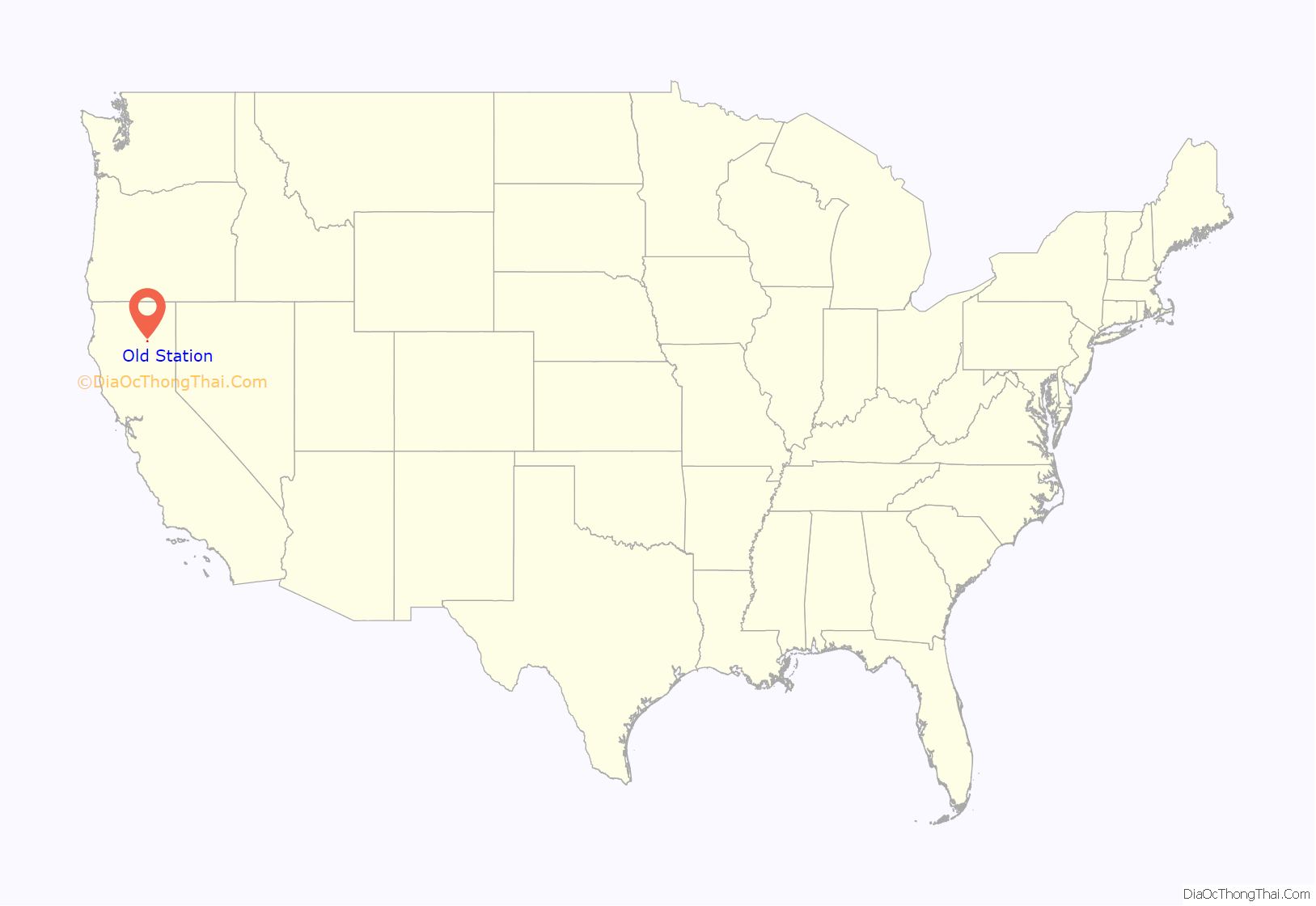
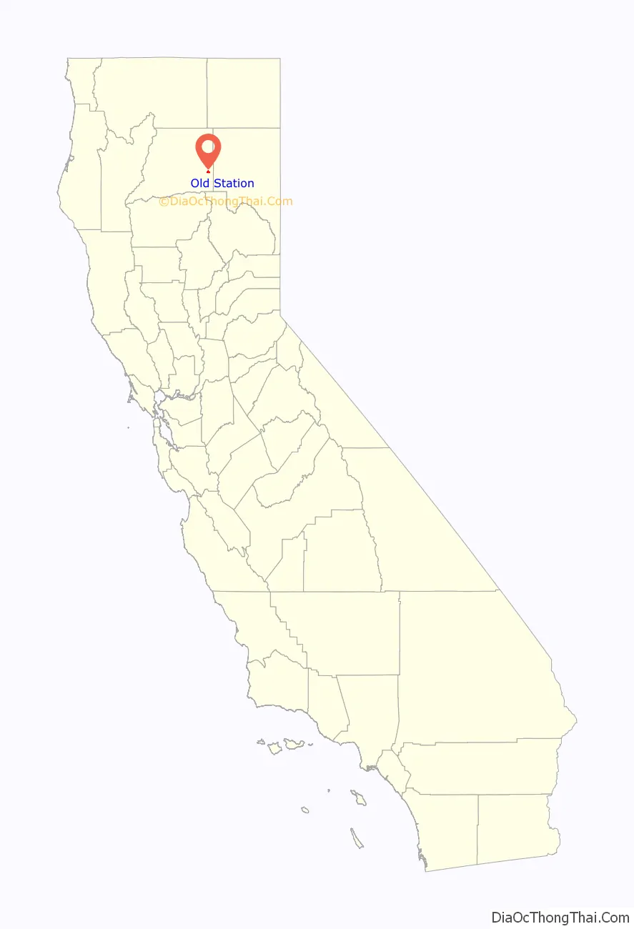
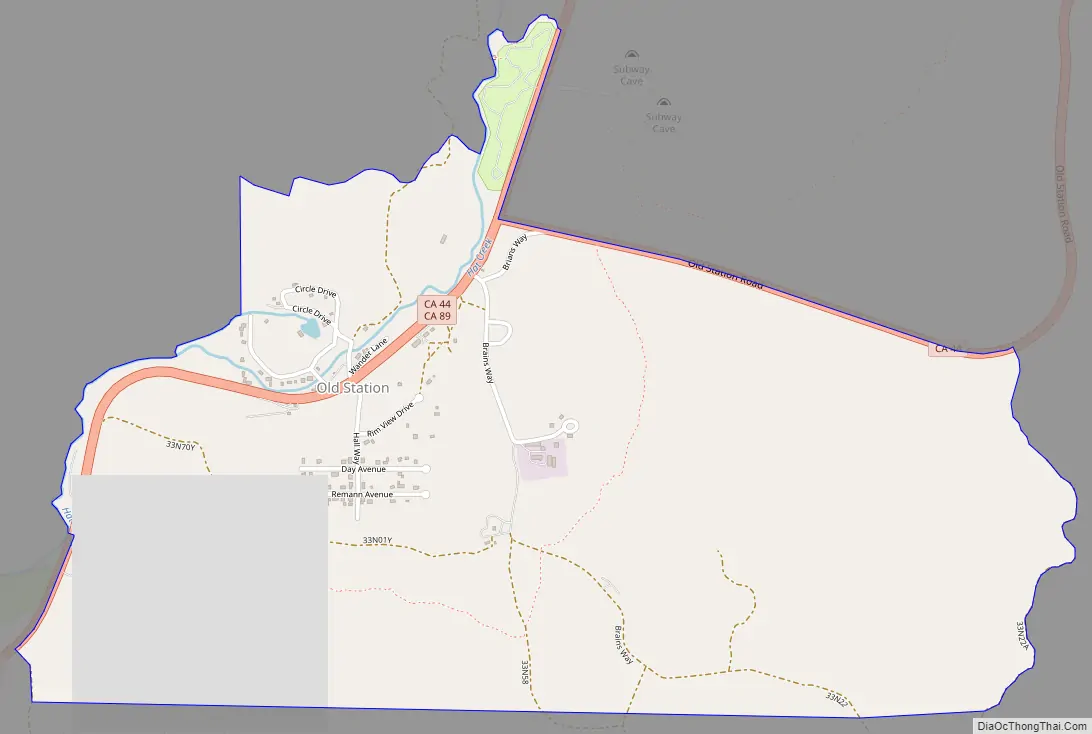
Old Station is a census-designated place (CDP) in Shasta County, California. It is located 13 miles (21 km) north of Lassen Volcanic National Park, directly between Redding and Susanville. The ZIP code in Old Station is 96071 and the area code 530. Old Station sits at an elevation of 4,386 feet (1,337 m). Its population is 64 as of the 2020 census, up from 51 from the 2010 census.
In 2021 the town was threatened by the Dixie Fire.
| Name: | Old Station CDP |
|---|---|
| LSAD Code: | 57 |
| LSAD Description: | CDP (suffix) |
| State: | California |
| County: | Shasta County |
| Elevation: | 4,386 ft (1,337 m) |
| Total Area: | 2.221 sq mi (5.753 km²) |
| Land Area: | 2.220 sq mi (5.749 km²) |
| Water Area: | 0.001 sq mi (0.003 km²) 0.06% |
| Total Population: | 64 |
| Population Density: | 29/sq mi (11/km²) |
| ZIP code: | 96071 |
| Area code: | 530 |
| FIPS code: | 0653602 |
| GNISfeature ID: | 2628770 |
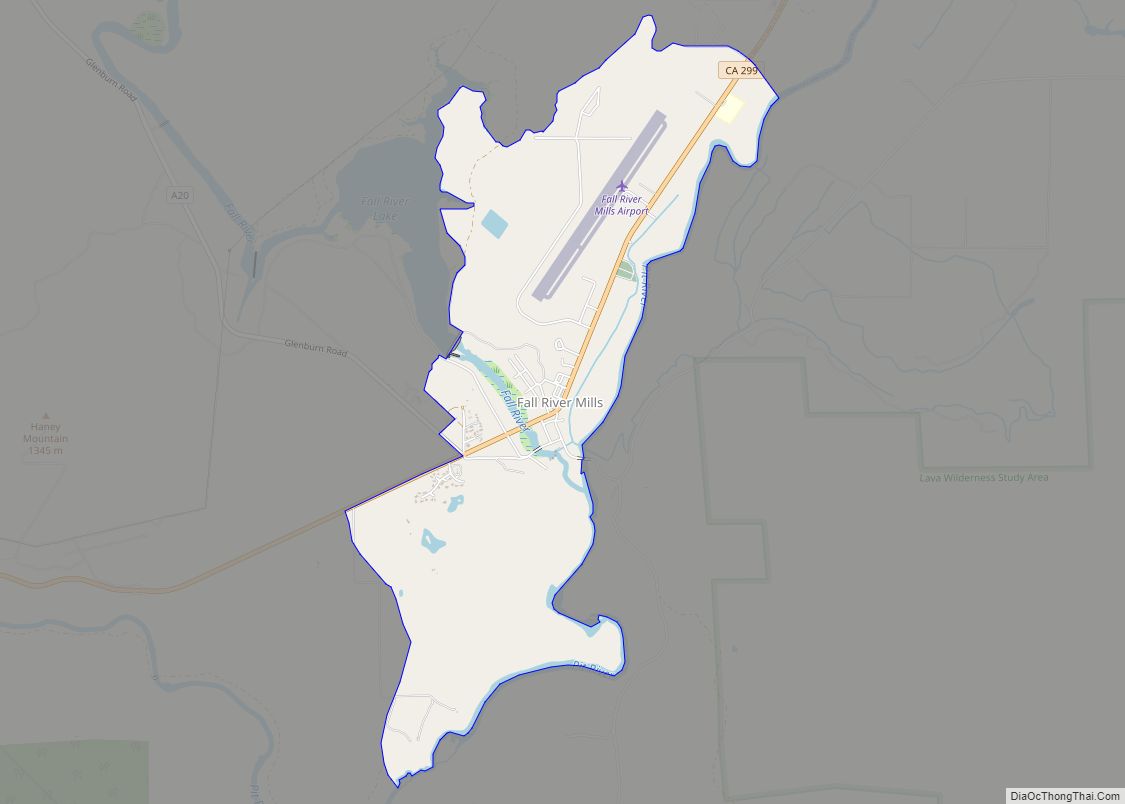
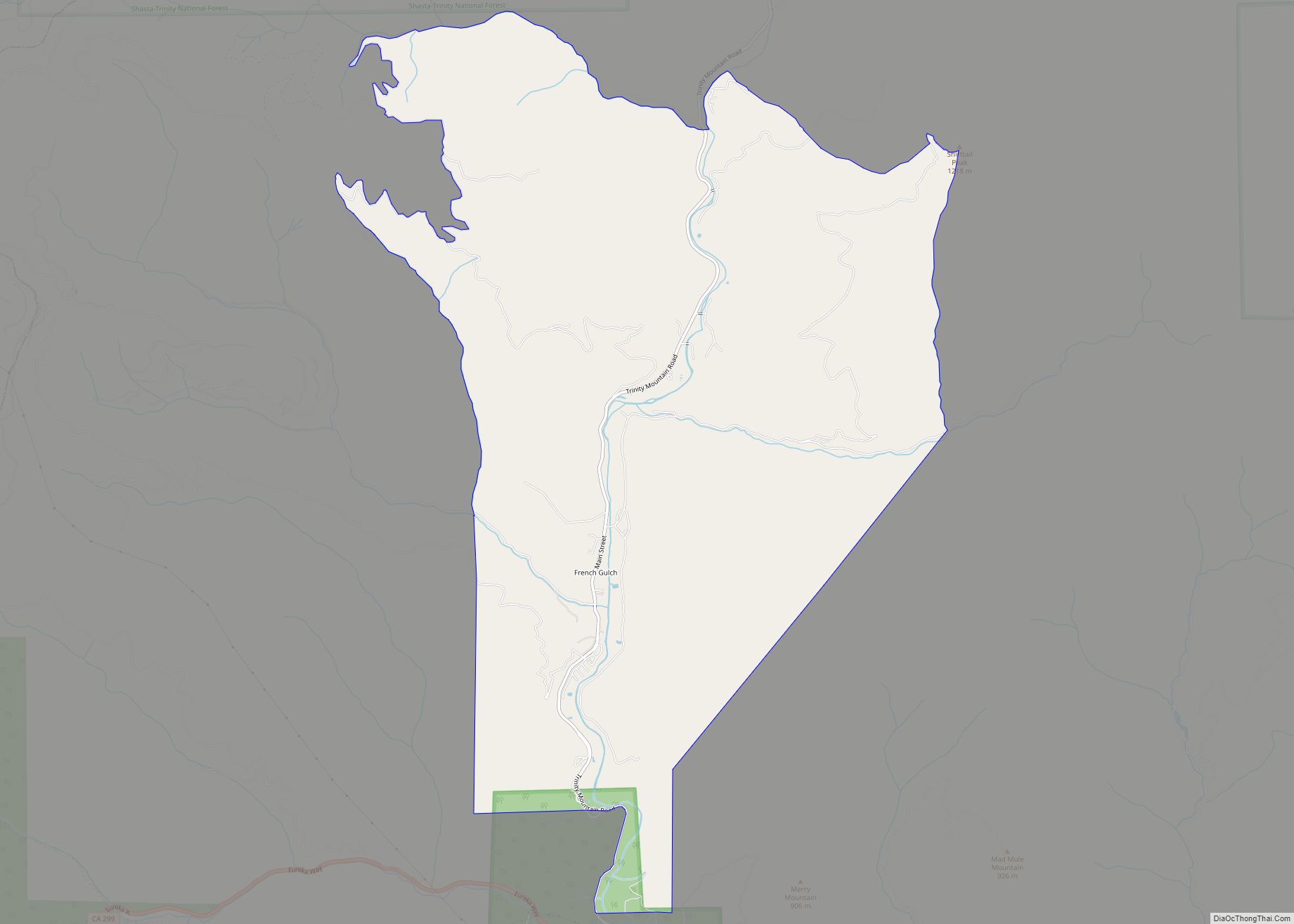
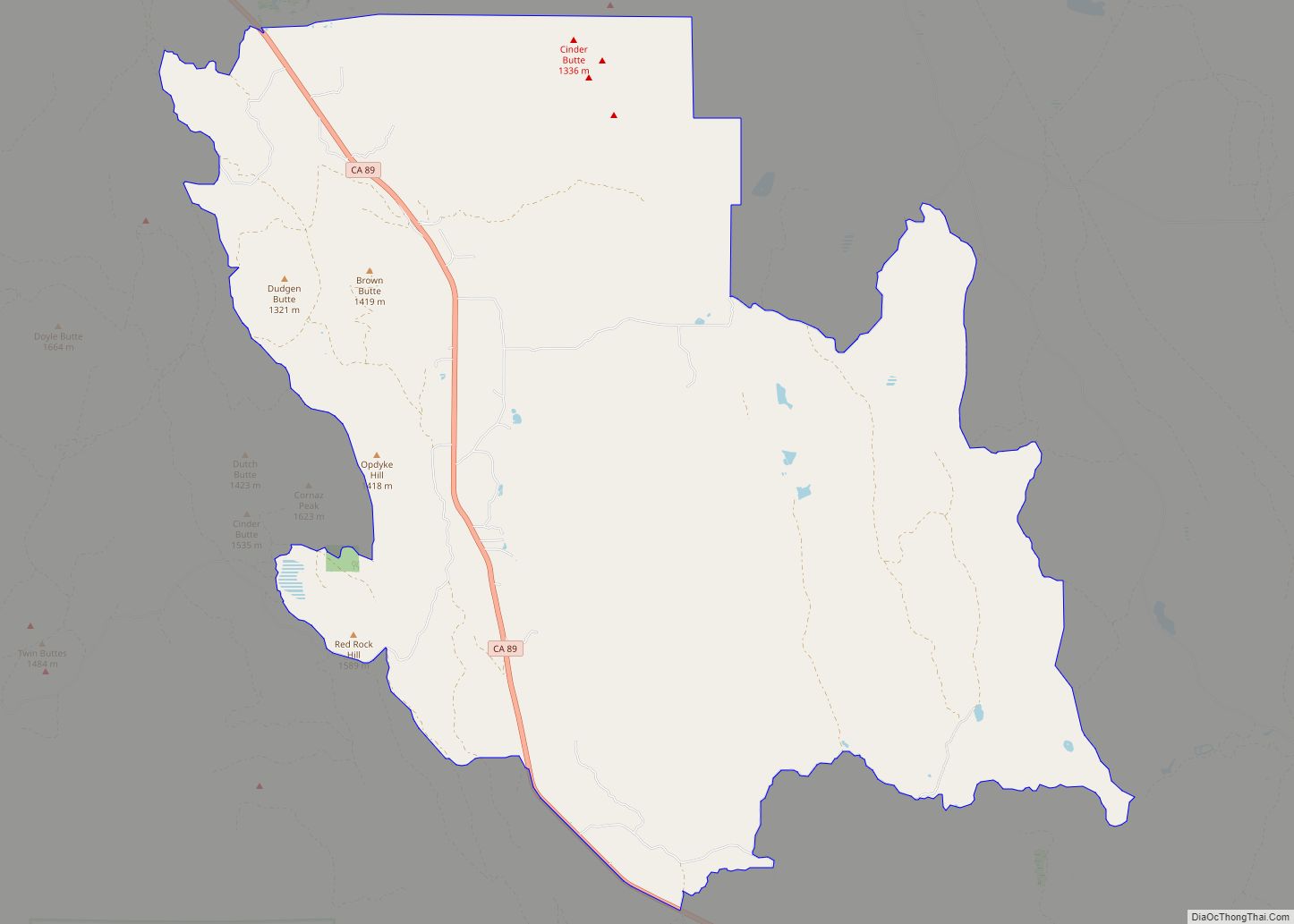
Online Interactive Map
Click on ![]() to view map in "full screen" mode.
to view map in "full screen" mode.
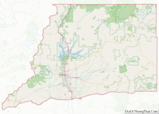
Old Station location map. Where is Old Station CDP?
History
Old Station was once a stagecoach stop on the trail from Sacramento to Yreka in 1857. It was also a temporary military post while soldiers patrolled the stage road. Old Station also sits on an alternate route of the historic Nobles Emigrant Trail to California that was used by gold seekers around 1852. It now has mostly traveler services including 1 gas station, 3 general stores, JJ’s Cafe, and many campgrounds. It is the southern gateway to the Hat Creek Recreation Area. It is home to Subway Cave, the largest lava tube formed by the local lava eruption from vents near Old Station. There is a two-mile Spatter Cone trail that leads from a United States Forest Service trailhead just off Highway 89/44.
Old Station Road Map
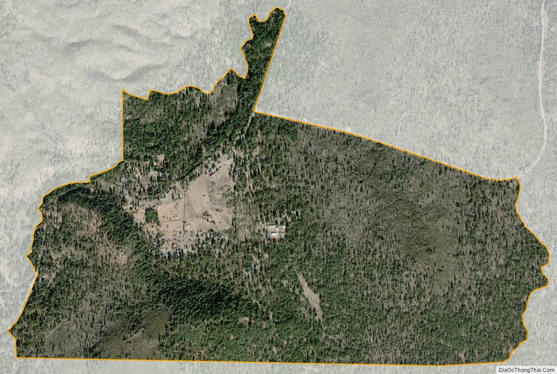
Old Station city Satellite Map
Geography
According to the United States Census Bureau, the CDP covers an area of 2.2 square miles (5.8 km), 99.94% of it land and 0.06% of it water.
Climate
This region experiences warm (but not hot) and dry summers, with no average monthly temperatures above 71.6 °F. According to the Köppen Climate Classification system, Old Station has a warm-summer Mediterranean climate, abbreviated “Csb” on climate maps.
See also
Map of California State and its subdivision:- Alameda
- Alpine
- Amador
- Butte
- Calaveras
- Colusa
- Contra Costa
- Del Norte
- El Dorado
- Fresno
- Glenn
- Humboldt
- Imperial
- Inyo
- Kern
- Kings
- Lake
- Lassen
- Los Angeles
- Madera
- Marin
- Mariposa
- Mendocino
- Merced
- Modoc
- Mono
- Monterey
- Napa
- Nevada
- Orange
- Placer
- Plumas
- Riverside
- Sacramento
- San Benito
- San Bernardino
- San Diego
- San Francisco
- San Joaquin
- San Luis Obispo
- San Mateo
- Santa Barbara
- Santa Clara
- Santa Cruz
- Shasta
- Sierra
- Siskiyou
- Solano
- Sonoma
- Stanislaus
- Sutter
- Tehama
- Trinity
- Tulare
- Tuolumne
- Ventura
- Yolo
- Yuba
- Alabama
- Alaska
- Arizona
- Arkansas
- California
- Colorado
- Connecticut
- Delaware
- District of Columbia
- Florida
- Georgia
- Hawaii
- Idaho
- Illinois
- Indiana
- Iowa
- Kansas
- Kentucky
- Louisiana
- Maine
- Maryland
- Massachusetts
- Michigan
- Minnesota
- Mississippi
- Missouri
- Montana
- Nebraska
- Nevada
- New Hampshire
- New Jersey
- New Mexico
- New York
- North Carolina
- North Dakota
- Ohio
- Oklahoma
- Oregon
- Pennsylvania
- Rhode Island
- South Carolina
- South Dakota
- Tennessee
- Texas
- Utah
- Vermont
- Virginia
- Washington
- West Virginia
- Wisconsin
- Wyoming