Palermo is a census-designated place (CDP) in Butte County, California, United States. The population was 5,382 at the 2010 census, down from 5,720 at the 2000 census.
| Name: | Palermo CDP |
|---|---|
| LSAD Code: | 57 |
| LSAD Description: | CDP (suffix) |
| State: | California |
| County: | Butte County |
| Elevation: | 194 ft (59 m) |
| Total Area: | 29.176 sq mi (75.566 km²) |
| Land Area: | 29.162 sq mi (75.529 km²) |
| Water Area: | 0.014 sq mi (0.037 km²) 0.05% |
| Total Population: | 5,382 |
| Population Density: | 180/sq mi (71/km²) |
| ZIP code: | 95968 |
| Area code: | 530 |
| FIPS code: | 0655086 |
Online Interactive Map
Click on ![]() to view map in "full screen" mode.
to view map in "full screen" mode.
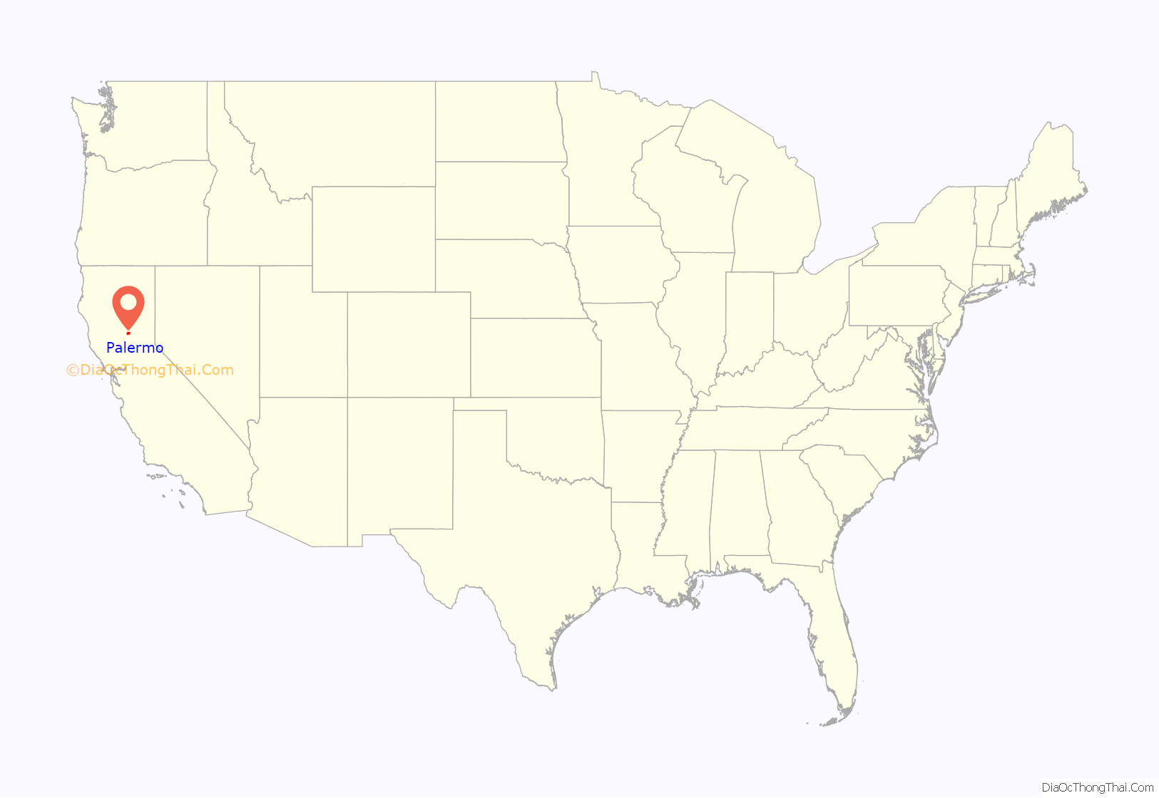
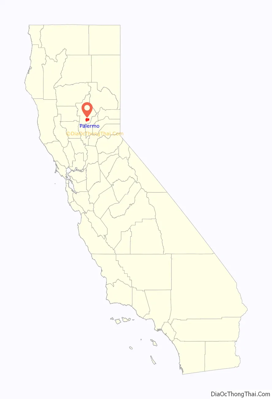
Palermo location map. Where is Palermo CDP?
History
The town was named after Palermo, Sicily due to its excellent climate for growing olives. The first post office was established in 1888. The area was home to a country club, two railroad stations, gold mining, a brick yard, library, general mercantile store, school and even a semi-pro baseball team. The rich clay soil attracted the planting of olive and orange orchards and a thriving zucca melon industry. Mining magnate George Hearst purchased 700 acres in 1888, and then subdivided. There is an annual festival held every September centered at Palermo Park to help raise funds to support the Palermo Community Council’s Sheriff Substation.
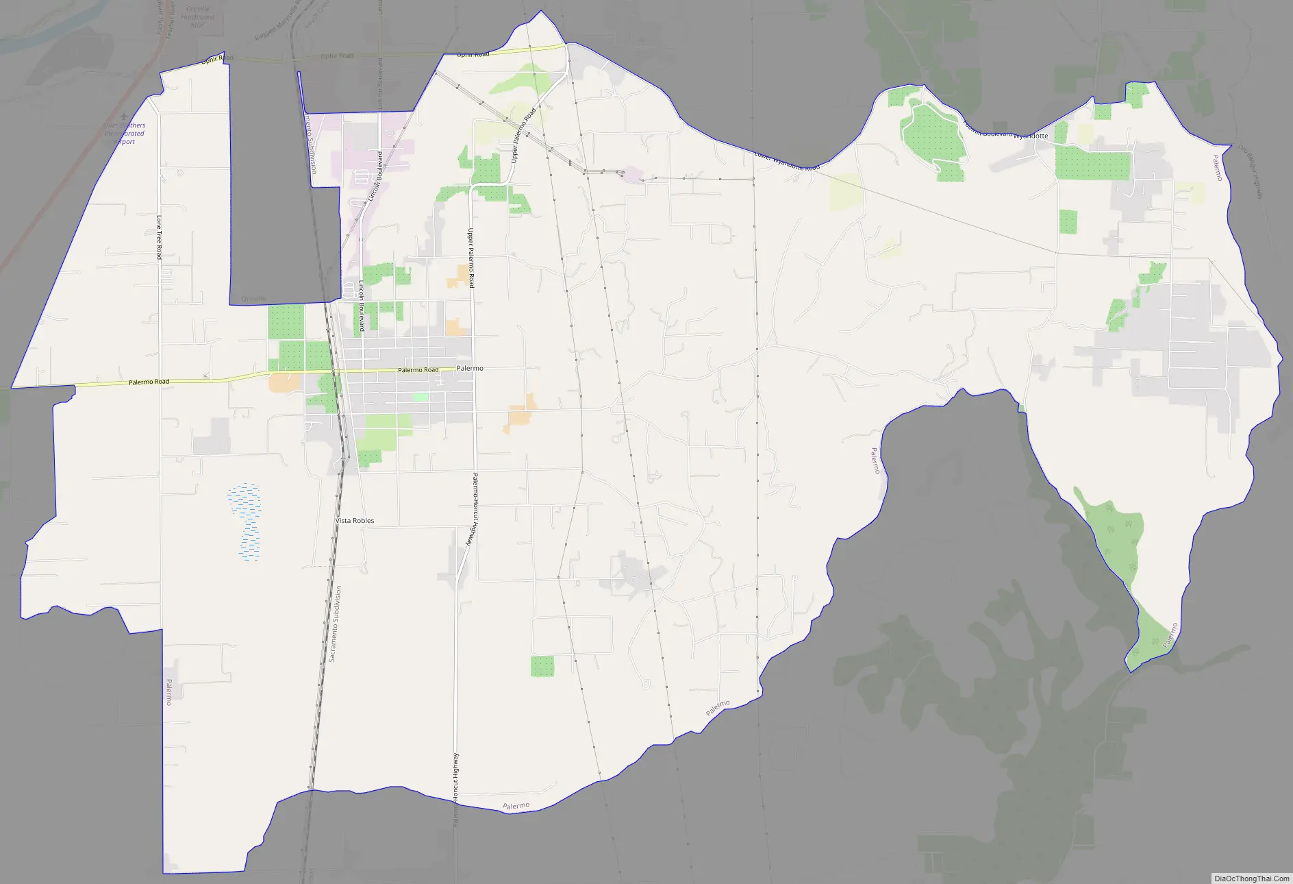
Palermo Road Map
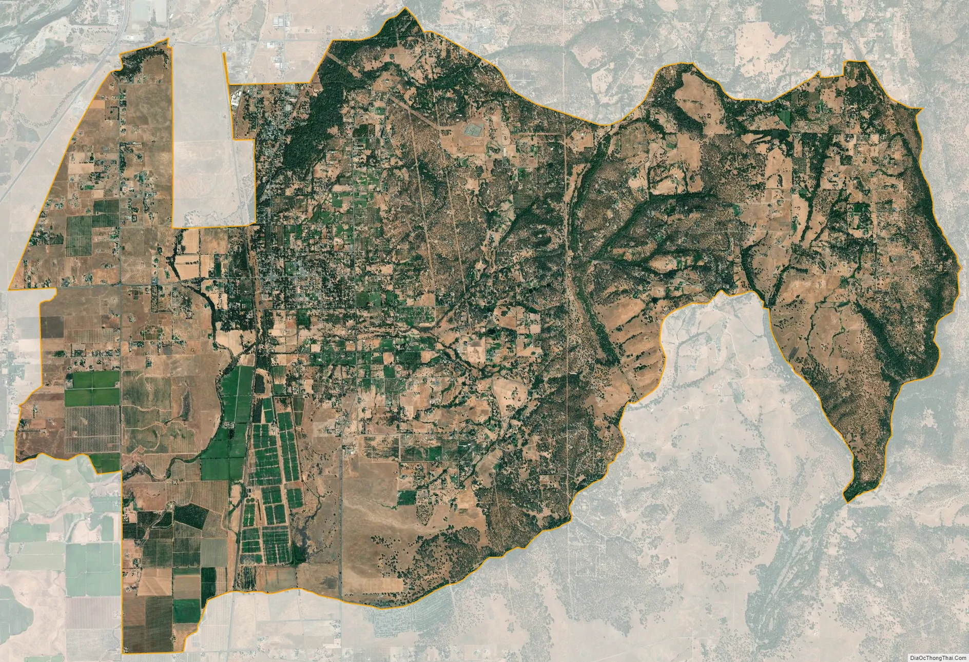
Palermo city Satellite Map
Geography
According to the United States Census Bureau, the CDP has a total area of 29.2 square miles (76 km), of which, 99.95% of it is land and 0.05% is water.
Climate
According to the Köppen Climate Classification system, Palermo has a warm-summer Mediterranean climate, abbreviated “Csa” on climate maps.
See also
Map of California State and its subdivision:- Alameda
- Alpine
- Amador
- Butte
- Calaveras
- Colusa
- Contra Costa
- Del Norte
- El Dorado
- Fresno
- Glenn
- Humboldt
- Imperial
- Inyo
- Kern
- Kings
- Lake
- Lassen
- Los Angeles
- Madera
- Marin
- Mariposa
- Mendocino
- Merced
- Modoc
- Mono
- Monterey
- Napa
- Nevada
- Orange
- Placer
- Plumas
- Riverside
- Sacramento
- San Benito
- San Bernardino
- San Diego
- San Francisco
- San Joaquin
- San Luis Obispo
- San Mateo
- Santa Barbara
- Santa Clara
- Santa Cruz
- Shasta
- Sierra
- Siskiyou
- Solano
- Sonoma
- Stanislaus
- Sutter
- Tehama
- Trinity
- Tulare
- Tuolumne
- Ventura
- Yolo
- Yuba
- Alabama
- Alaska
- Arizona
- Arkansas
- California
- Colorado
- Connecticut
- Delaware
- District of Columbia
- Florida
- Georgia
- Hawaii
- Idaho
- Illinois
- Indiana
- Iowa
- Kansas
- Kentucky
- Louisiana
- Maine
- Maryland
- Massachusetts
- Michigan
- Minnesota
- Mississippi
- Missouri
- Montana
- Nebraska
- Nevada
- New Hampshire
- New Jersey
- New Mexico
- New York
- North Carolina
- North Dakota
- Ohio
- Oklahoma
- Oregon
- Pennsylvania
- Rhode Island
- South Carolina
- South Dakota
- Tennessee
- Texas
- Utah
- Vermont
- Virginia
- Washington
- West Virginia
- Wisconsin
- Wyoming


