Pinole (Spanish for “cornmeal”) is a city in Contra Costa County, California, United States. The population was 18,390 at the 2010 census.
| Name: | Pinole city |
|---|---|
| LSAD Code: | 25 |
| LSAD Description: | city (suffix) |
| State: | California |
| County: | Contra Costa County |
| Incorporated: | June 25, 1903 |
| Elevation: | 23 ft (6.4 m) |
| Total Area: | 11.76 sq mi (30.46 km²) |
| Land Area: | 5.10 sq mi (13.22 km²) |
| Water Area: | 6.66 sq mi (17.24 km²) 60.79% |
| Total Population: | 18,390 |
| Population Density: | 3,771.55/sq mi (1,456.31/km²) |
| ZIP code: | 94564 |
| Area code: | 510, 341 |
| FIPS code: | 0657288 |
| Website: | www.ci.pinole.ca.us |
Online Interactive Map
Click on ![]() to view map in "full screen" mode.
to view map in "full screen" mode.
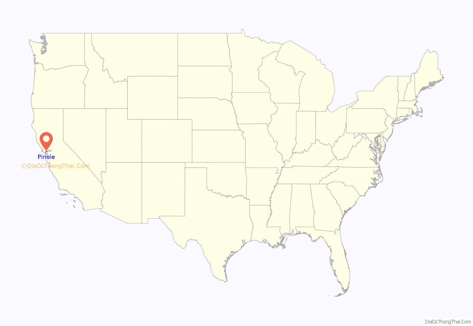
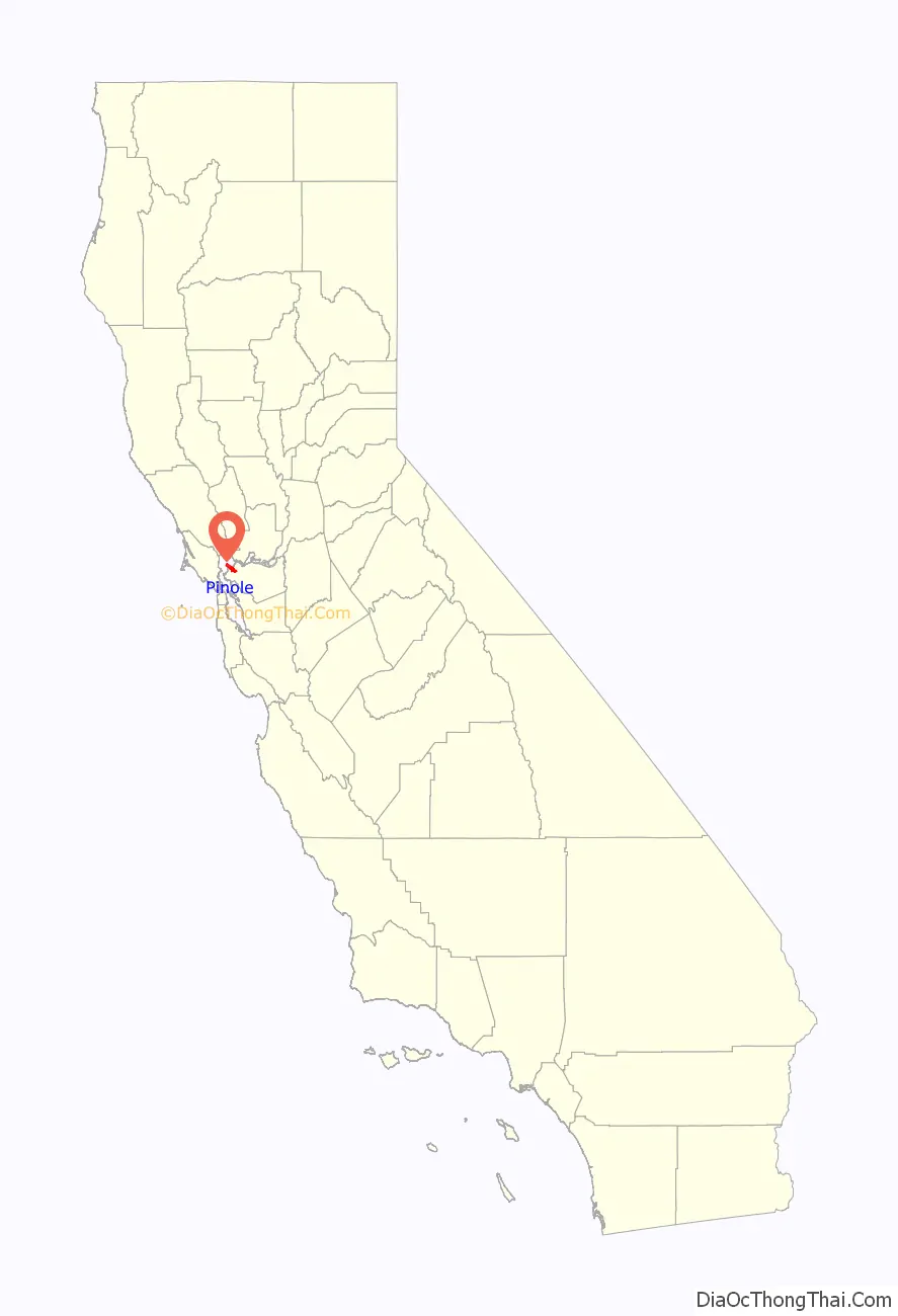
Pinole location map. Where is Pinole city?
History
The name derives from “pinole”, a Nāhuatl word for a kind of flour made from the ground seeds of maize, chia, and various other grasses, and annual herbs. An expedition under Pedro Fages was said to have run out of provisions while exploring the area, and to have been fed pinole by a local village. The Spaniards named their camp El Pinole.
In 1823, Ygnacio Martínez, commandant of the Presidio of San Francisco, received a land grant of Rancho El Pinole from the Mexican government. Martinez built a hacienda in Pinole Valley; this is land encompassed by Pinole Valley Park. During the 1850s, Bernardo Fernandez, a Portuguese immigrant, started a trading facility on the shores of San Pablo Bay. He built Fernandez Mansion, a historic building that still stands today at the end of Tennent Avenue. From these early beginnings, a small but thriving community developed into the city of Pinole.
The settlement’s growth was stimulated by construction of the Southern Pacific Railroad in 1878 and the establishment of the California Powder Works in nearby Hercules. During this period, this city had an active waterfront and was a regional commercial and banking center. The first post office opened in 1878 when the railroad reached the community. The City of Pinole was incorporated in 1903.
During the post-World War II boom, Pinole and the surrounding area grew rapidly. Construction of Interstate 80 in 1958 stimulated developers to build new housing to satisfy demand, and the town evolved as a suburban bedroom community within the San Francisco/Oakland commuter belt. Much of its original industry was displaced during this time, and the town became predominantly residential.
Today, the town is locally known for its “big box” shopping store district along Fitzgerald Drive, and Pinole Vista Shopping Center, which is contiguous with Richmond’s Hilltop Area. The downtown area still retains much turn-of-the-century building stock. The city’s development agency is working to preserve this historic area as a tourist and community destination.
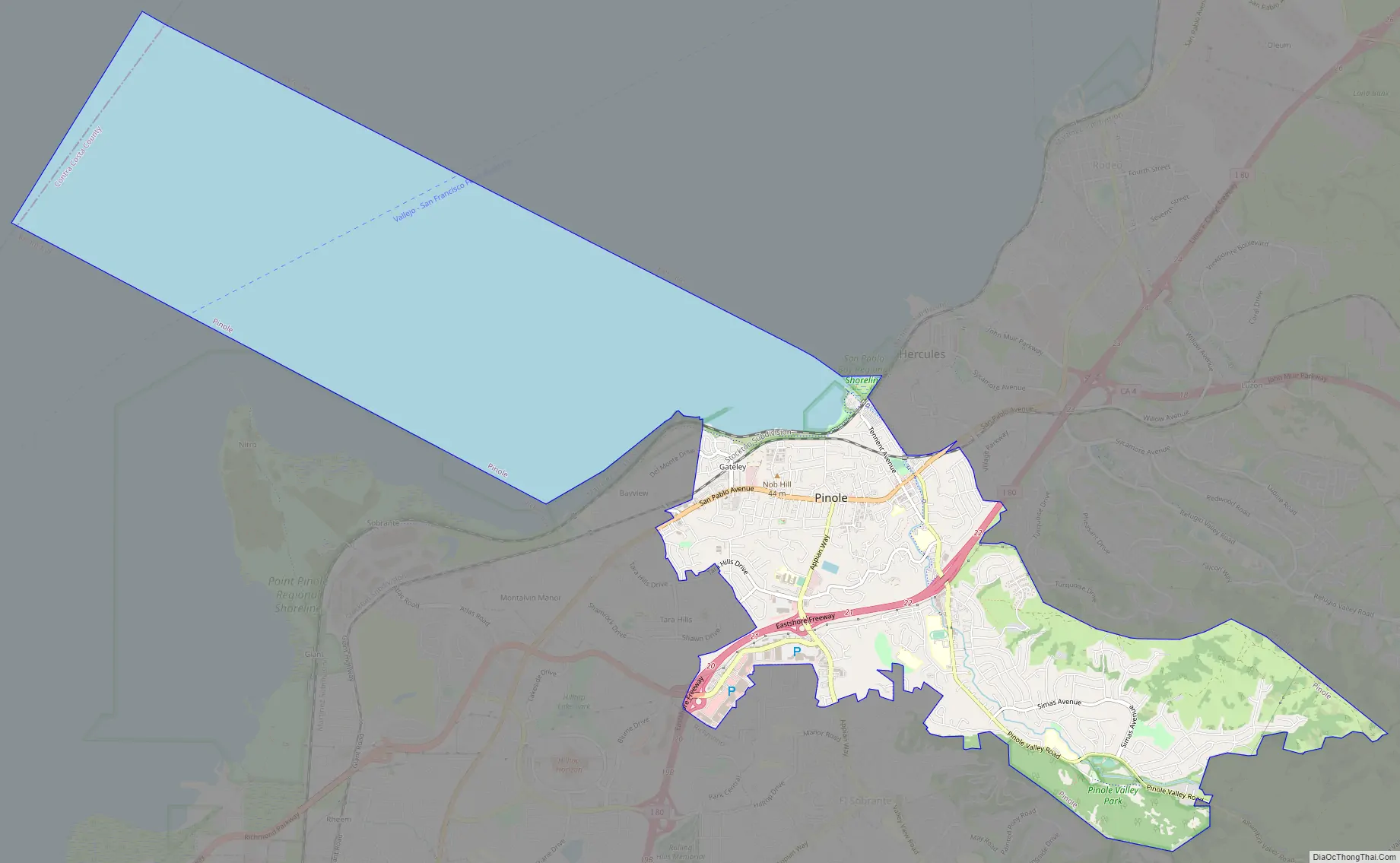
Pinole Road Map
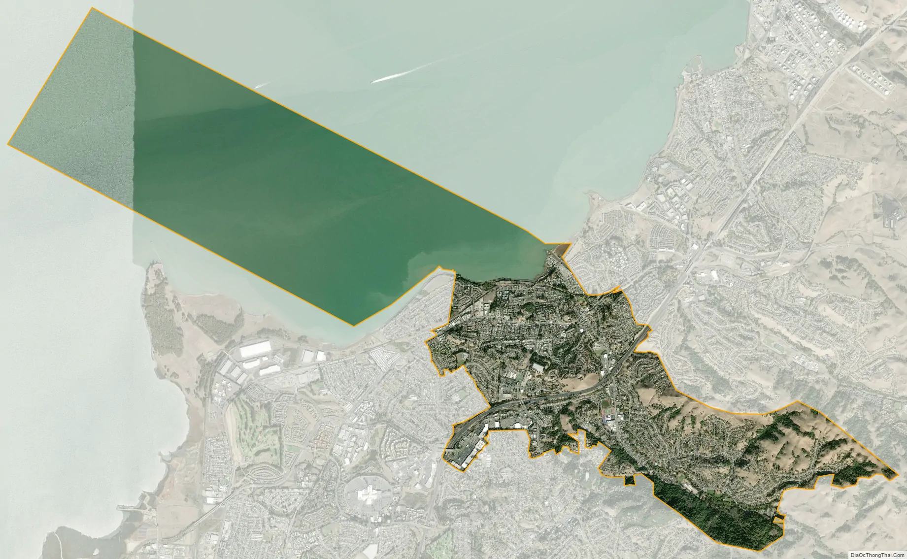
Pinole city Satellite Map
Geography
According to the United States Census Bureau, the city has a total area of 13.6 square miles (35 km). 5.3 square miles (14 km) of it is land, and 8.3 square miles (21 km) of it (60.79%) is water.
The city of Pinole has habitat areas that support the endangered species Santa Cruz Tarweed on the California coastal prairie ecosystem. A colony of this rare plant was discovered during preparation of an Environmental Impact Report for a proposed shopping center on the east side of I-80 in the late 1980s. Subsequently, a plan was developed by the city to conduct replanting of this tarweed on the slopes within the right-of-way of Interstate Highway 80. Also running through is Pinole Creek.
See also
Map of California State and its subdivision:- Alameda
- Alpine
- Amador
- Butte
- Calaveras
- Colusa
- Contra Costa
- Del Norte
- El Dorado
- Fresno
- Glenn
- Humboldt
- Imperial
- Inyo
- Kern
- Kings
- Lake
- Lassen
- Los Angeles
- Madera
- Marin
- Mariposa
- Mendocino
- Merced
- Modoc
- Mono
- Monterey
- Napa
- Nevada
- Orange
- Placer
- Plumas
- Riverside
- Sacramento
- San Benito
- San Bernardino
- San Diego
- San Francisco
- San Joaquin
- San Luis Obispo
- San Mateo
- Santa Barbara
- Santa Clara
- Santa Cruz
- Shasta
- Sierra
- Siskiyou
- Solano
- Sonoma
- Stanislaus
- Sutter
- Tehama
- Trinity
- Tulare
- Tuolumne
- Ventura
- Yolo
- Yuba
- Alabama
- Alaska
- Arizona
- Arkansas
- California
- Colorado
- Connecticut
- Delaware
- District of Columbia
- Florida
- Georgia
- Hawaii
- Idaho
- Illinois
- Indiana
- Iowa
- Kansas
- Kentucky
- Louisiana
- Maine
- Maryland
- Massachusetts
- Michigan
- Minnesota
- Mississippi
- Missouri
- Montana
- Nebraska
- Nevada
- New Hampshire
- New Jersey
- New Mexico
- New York
- North Carolina
- North Dakota
- Ohio
- Oklahoma
- Oregon
- Pennsylvania
- Rhode Island
- South Carolina
- South Dakota
- Tennessee
- Texas
- Utah
- Vermont
- Virginia
- Washington
- West Virginia
- Wisconsin
- Wyoming


