Point Arena, formerly known as Punta Arena (Spanish for “Sandy Point”) is a small coastal city in Mendocino County, California, United States. Point Arena is located 32 miles (51 km) west of Hopland, at an elevation of 118 feet (36 m). The population was 460 at the 2020 census, making it one of the smallest incorporated cities in the state.
Its main street is part of State Route 1, California’s coastal artery. Along with a number of other Mendocino County coastal communities, Point Arena was associated with the hippie and subsequent counterculture groups. The economy is largely geared toward serving the summertime tourist industry. The city is near the headquarters of the tribal lands of the Manchester Band of Pomo Indians of the Manchester Rancheria and adjacent to the recently formed Point Arena-Stornetta Public Lands National Monument. Hiking trails with coastal prairie and ocean views can be accessed from Point Arena City Hall. At Arena Cove Historic District and pier, huge oceanfront bluffs show the power of the interface of tectonic plates.
| Name: | Point Arena city |
|---|---|
| LSAD Code: | 25 |
| LSAD Description: | city (suffix) |
| State: | California |
| County: | Mendocino County |
| Incorporated: | July 11, 1908 |
| Elevation: | 118 ft (36 m) |
| Total Area: | 1.36 sq mi (3.5 km²) |
| Land Area: | 1.36 sq mi (3.5 km²) |
| Water Area: | 0.00 sq mi (0.0 km²) 0% |
| Total Population: | 460 |
| Population Density: | 337.0/sq mi (130.1/km²) |
| ZIP code: | 95468 |
| Area code: | 707 |
| FIPS code: | 0657876 |
| GNISfeature ID: | 1659411 |
| Website: | pointarena.ca.gov |
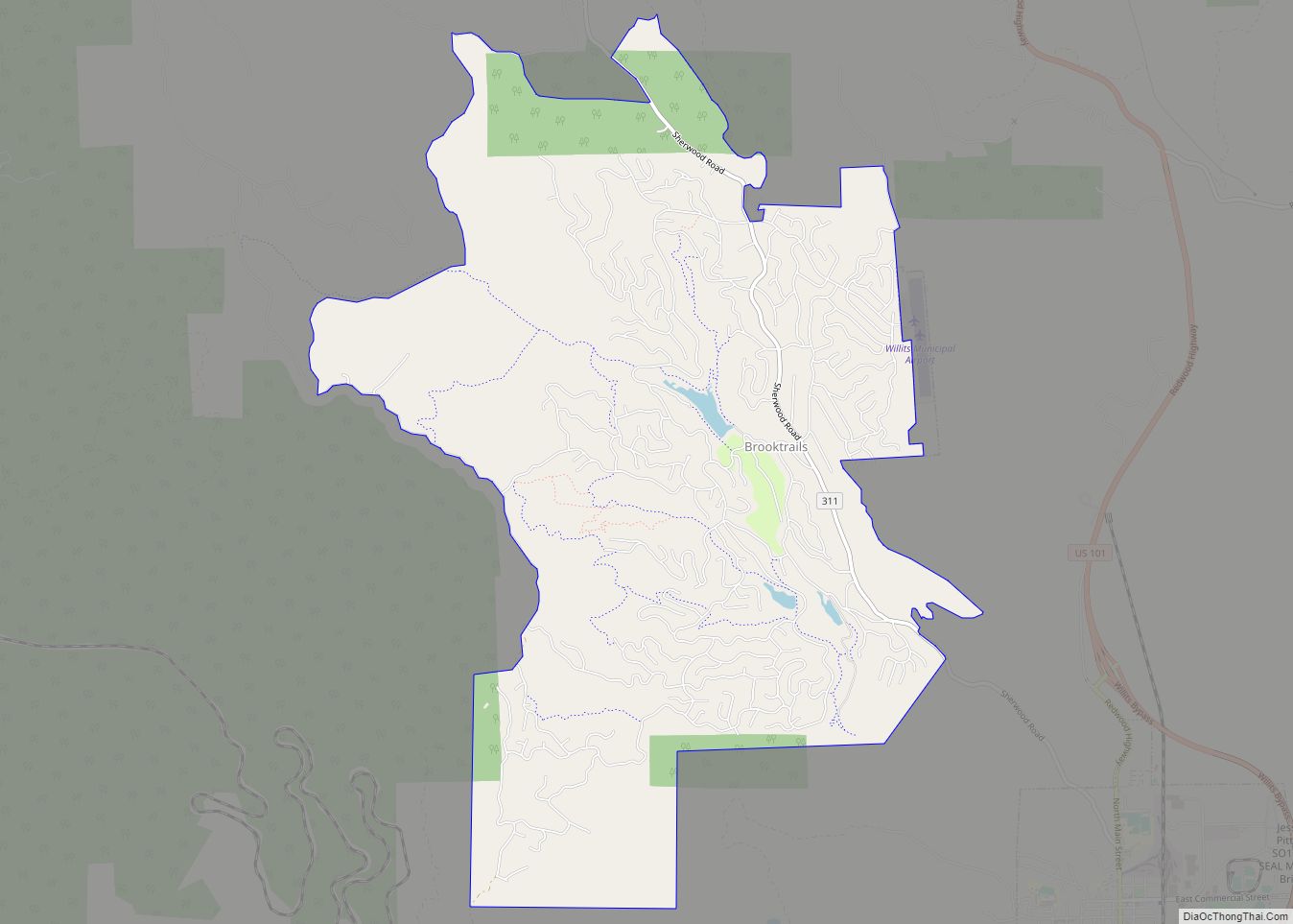
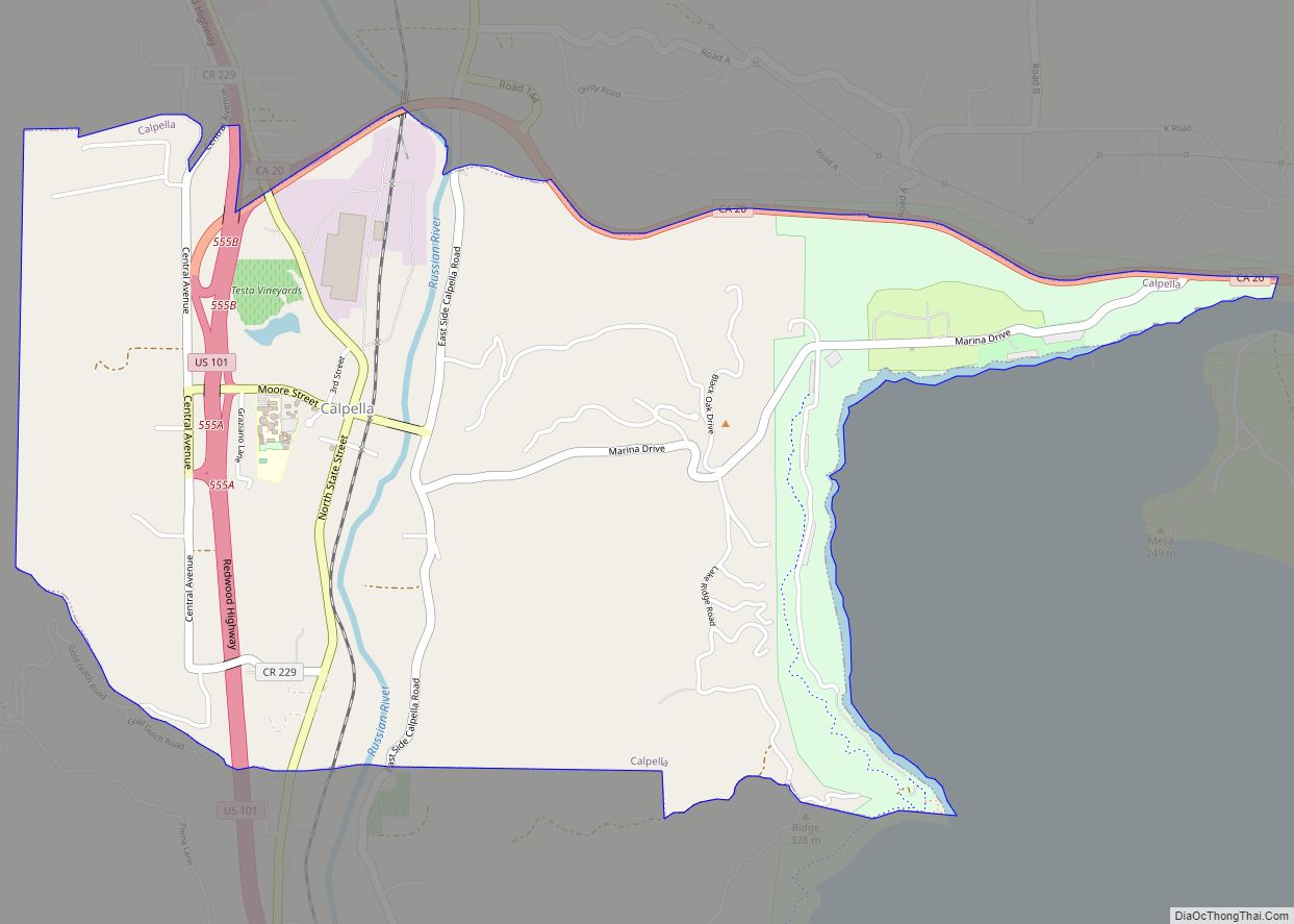
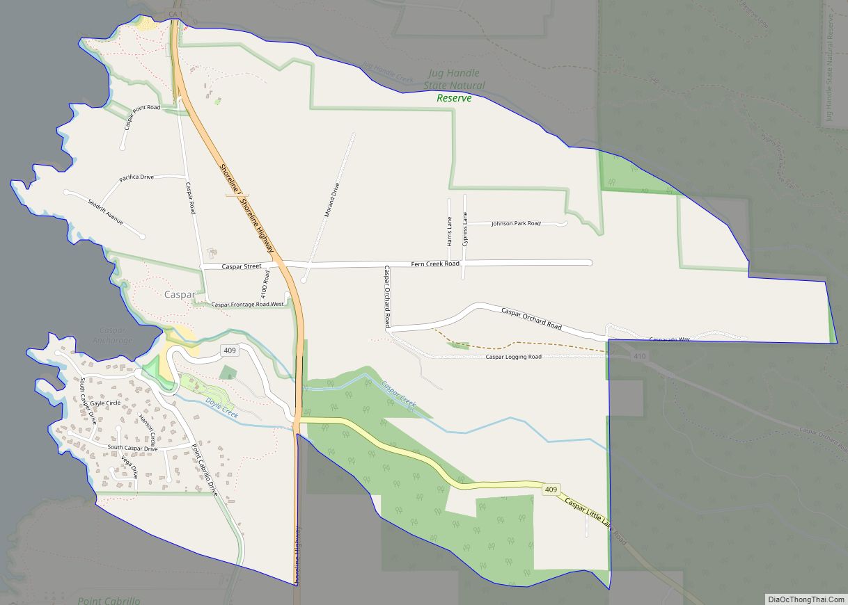
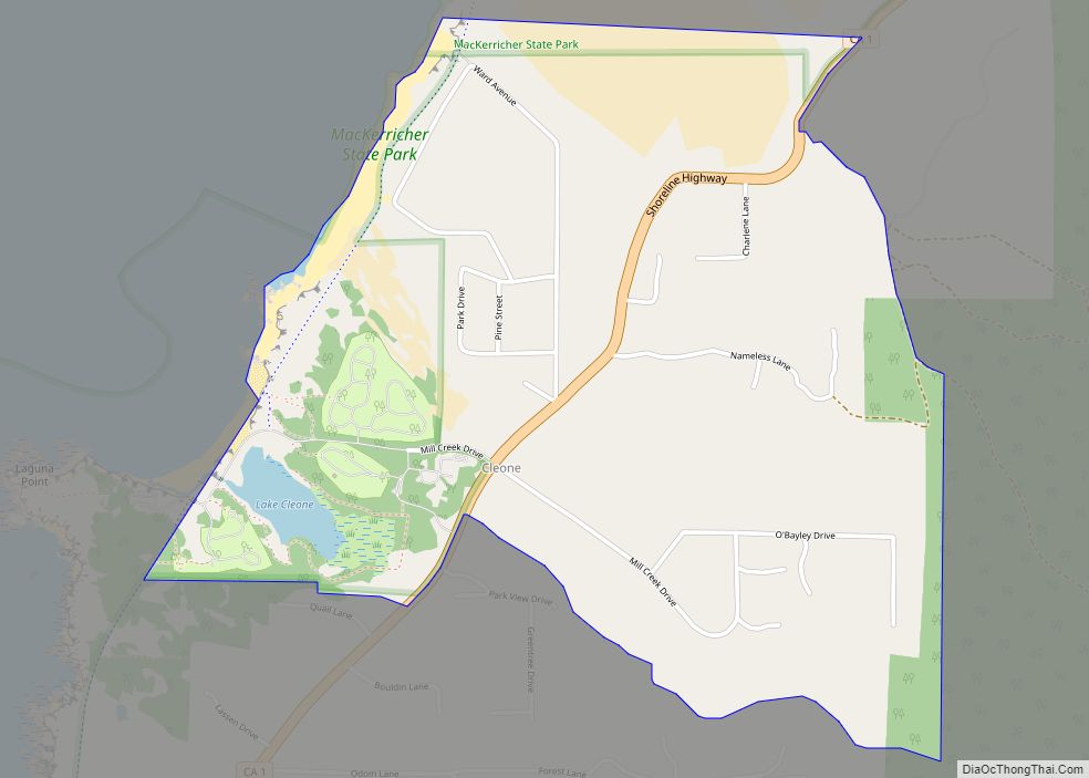
Online Interactive Map
Click on ![]() to view map in "full screen" mode.
to view map in "full screen" mode.
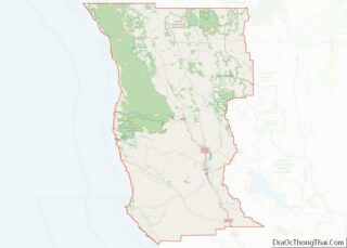
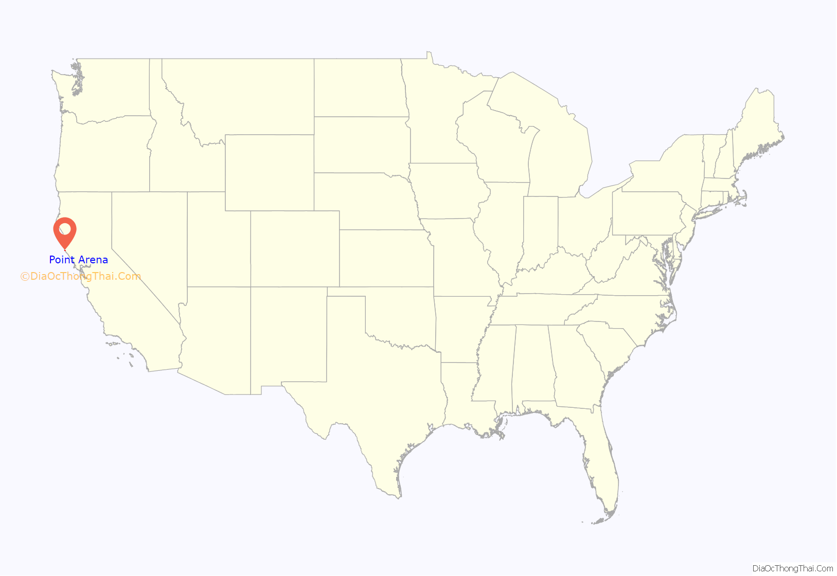
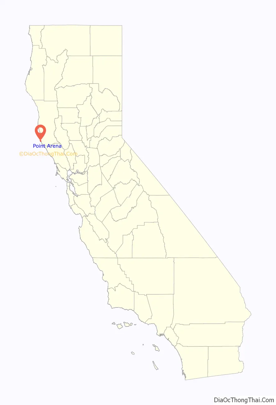
Point Arena location map. Where is Point Arena city?
History
The first European to record Point Arena was Spaniard Bartolomé Ferrer in 1543, who named it Cabo de Fortunas (“cape of fortunes”). The cape was renamed to Punta Delgado (narrow point) in 1775 by lieutenant Juan Francisco de la Bodega y Quadra (commander of the schooner Sonora), part of a royal expedition chartered by the government of Mexico to map the north coast of Alta California. Later the point, and the small harbor town south of it, were called Barra de Arena (i.e. sandbar) and finally Punta Arena (literally “sand point”).
The Punta Arena post office opened in 1858, and was renamed Point Arena in 1889. The first store at Point Arena opened in 1859. Point Arena incorporated in 1908.
In 1886, Nellie Welch, an 11-year-old girl, was appointed lead operator and had full charge of the telegraph office in Point Arena. Operators like Western Union often hired women because they were cheaper labor than the men.
The Point Arena Cable Station is located in nearby Manchester. Built in 1956 by AT&T Corporation, the cable station serves as the eastern terminus of several undersea cables, including the Japan-US Cable Network and connections to Hawaii and Canada. In 2002, AT&T applied for a permit from the EPA to connect an existing fiber optic conduit to the cable station, since further construction would cause incidental damage to the habitat of the endangered Point Arena mountain beaver.
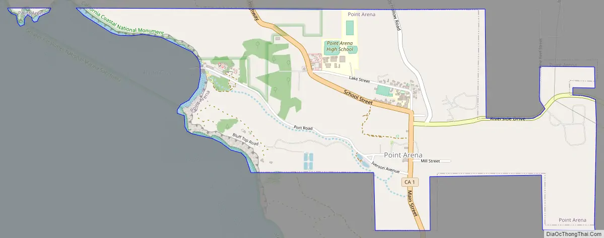
Point Arena Road Map
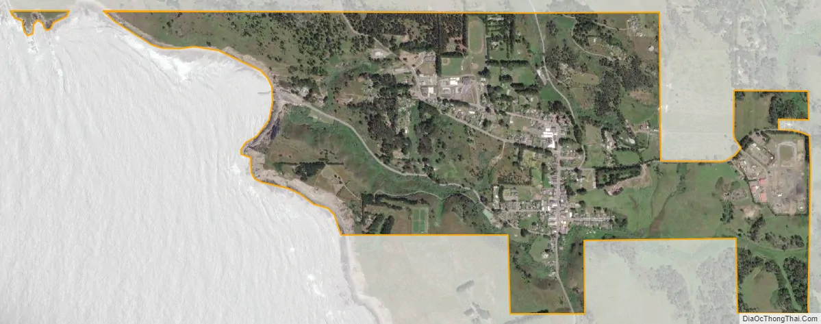
Point Arena city Satellite Map
Geography
The city of Point Arena is located in southwestern Mendocino County at 38°54′32″N 123°41′35″W / 38.90889°N 123.69306°W / 38.90889; -123.69306. Its ZIP Code is 95468. According to the United States Census Bureau, the city has a total area of 1.4 square miles (3.6 km), all of it land.
The city is built around Arena Cove, a small natural harbor, and is about 1.5 miles (2.4 km) south of the actual Point Arena, a narrow peninsula jutting 0.3 miles (0.48 km) into the Pacific Ocean. This is the location of the Point Arena Light, at 115 feet (35 m) the tallest lighthouse on the west coast of the United States. The lighthouse is the closest location on the mainland (excluding Alaska) to Honolulu, Hawaii, at a distance of 2,353 miles (3,787 km).
Via California State Route 1, Point Arena is 5 miles (8 km) south of Manchester and 10 miles (16 km) north of Anchor Bay. Boonville is 29 miles (47 km) to the east across the California Coast Ranges via Mountain View Road, and Ukiah, the Mendocino county seat, is 50 miles (80 km) to the east.
See also
Map of California State and its subdivision:- Alameda
- Alpine
- Amador
- Butte
- Calaveras
- Colusa
- Contra Costa
- Del Norte
- El Dorado
- Fresno
- Glenn
- Humboldt
- Imperial
- Inyo
- Kern
- Kings
- Lake
- Lassen
- Los Angeles
- Madera
- Marin
- Mariposa
- Mendocino
- Merced
- Modoc
- Mono
- Monterey
- Napa
- Nevada
- Orange
- Placer
- Plumas
- Riverside
- Sacramento
- San Benito
- San Bernardino
- San Diego
- San Francisco
- San Joaquin
- San Luis Obispo
- San Mateo
- Santa Barbara
- Santa Clara
- Santa Cruz
- Shasta
- Sierra
- Siskiyou
- Solano
- Sonoma
- Stanislaus
- Sutter
- Tehama
- Trinity
- Tulare
- Tuolumne
- Ventura
- Yolo
- Yuba
- Alabama
- Alaska
- Arizona
- Arkansas
- California
- Colorado
- Connecticut
- Delaware
- District of Columbia
- Florida
- Georgia
- Hawaii
- Idaho
- Illinois
- Indiana
- Iowa
- Kansas
- Kentucky
- Louisiana
- Maine
- Maryland
- Massachusetts
- Michigan
- Minnesota
- Mississippi
- Missouri
- Montana
- Nebraska
- Nevada
- New Hampshire
- New Jersey
- New Mexico
- New York
- North Carolina
- North Dakota
- Ohio
- Oklahoma
- Oregon
- Pennsylvania
- Rhode Island
- South Carolina
- South Dakota
- Tennessee
- Texas
- Utah
- Vermont
- Virginia
- Washington
- West Virginia
- Wisconsin
- Wyoming