Redondo Beach (Spanish for ’round’) is a coastal city in Los Angeles County, California, United States, located in the South Bay region of the Greater Los Angeles area. It is one of three adjacent beach cities along the southern portion of Santa Monica Bay. The population was 71,576 at the 2020 census, up from 66,748 at the 2010 census.
Redondo Beach was originally part of the 1785 Rancho San Pedro Spanish land grant that later became the South Redondo area. The primary attractions include Municipal Pier and the sandy beach, popular with tourists and a variety of sports enthusiasts. The western terminus of the Metro Rail C Line (formerly the Green Line) is in North Redondo Beach.
| Name: | Redondo Beach city |
|---|---|
| LSAD Code: | 25 |
| LSAD Description: | city (suffix) |
| State: | California |
| County: | Los Angeles County |
| Incorporated: | April 29, 1892 |
| Elevation: | 62 ft (19 m) |
| Total Area: | 6.21 sq mi (16.09 km²) |
| Land Area: | 6.20 sq mi (16.06 km²) |
| Water Area: | 0.01 sq mi (0.03 km²) 0.16% |
| Total Population: | 71,576 |
| Population Density: | 12,000/sq mi (4,400/km²) |
| Area code: | 310/424 |
| FIPS code: | 0660018 |
| Website: | redondo.org |
Online Interactive Map
Click on ![]() to view map in "full screen" mode.
to view map in "full screen" mode.
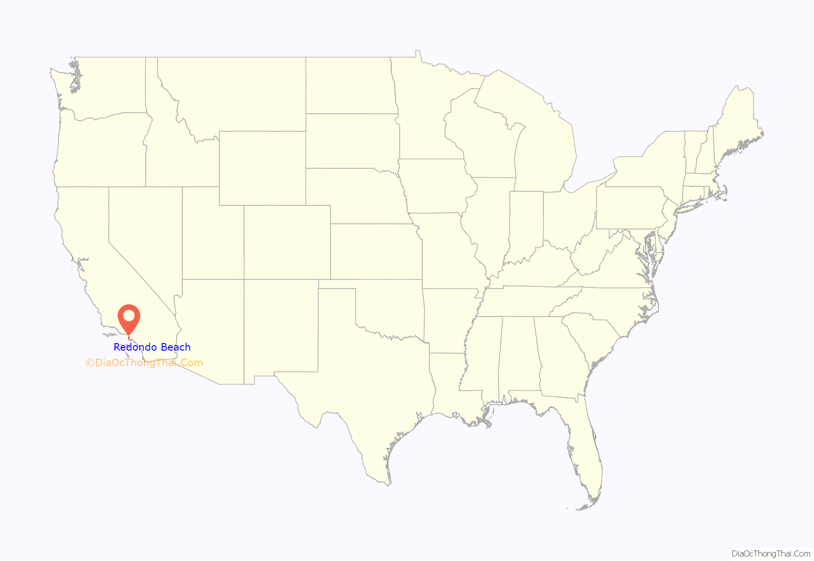
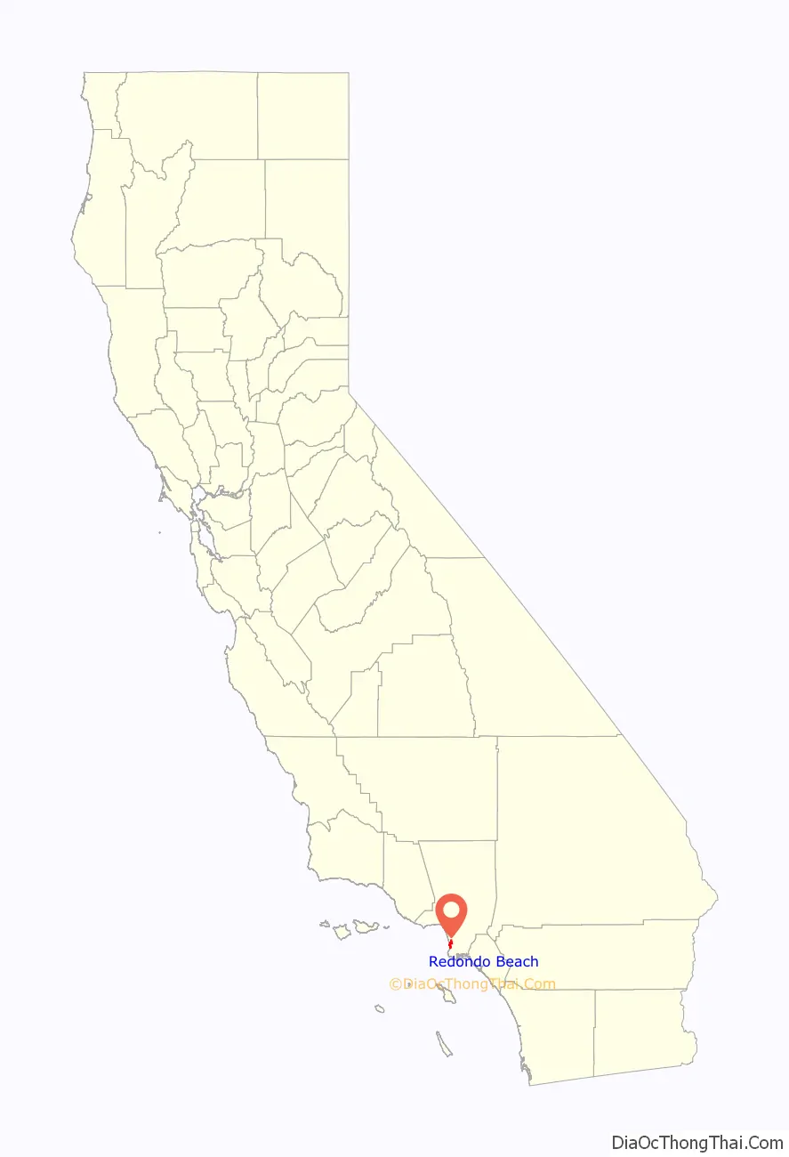
Redondo Beach location map. Where is Redondo Beach city?
History
The Chowigna Indians used the site of today’s Hopkins Wilderness Park, formerly Nike missile site LA-57 from 1956 to 1963, in Redondo Beach, California, as a lookout place. The wetlands located at the site of today’s AES power plant in Redondo Beach were a source of foods including halibut, lobster, and sea bass, and also of salt.
In the 1700s, the Chowigna bartered salt from the old Redondo Salt Lake, “a spring-fed salt lake about 200 yards wide and 600 yards long situated about 200 yards from the ocean”, with other tribes. Their village by the lake was called “Onoova-nga”, or “Place of Salt.”
The Chowigna were relocated to missions in 1854, when Manuel Dominguez sold 215 acres (87 ha) of Rancho San Pedro, including the lake, to Henry Allanson and William Johnson for the Pacific Salt Works.
Moonstone Beach was a tourist attraction from the late 1880s to the early 1920s. Tourists gathered moonstones from the many mounds that had washed ashore during storms.
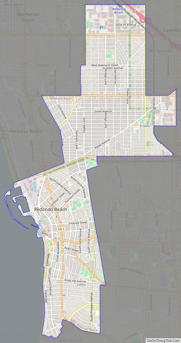
Redondo Beach Road Map
Redondo Beach city Satellite Map
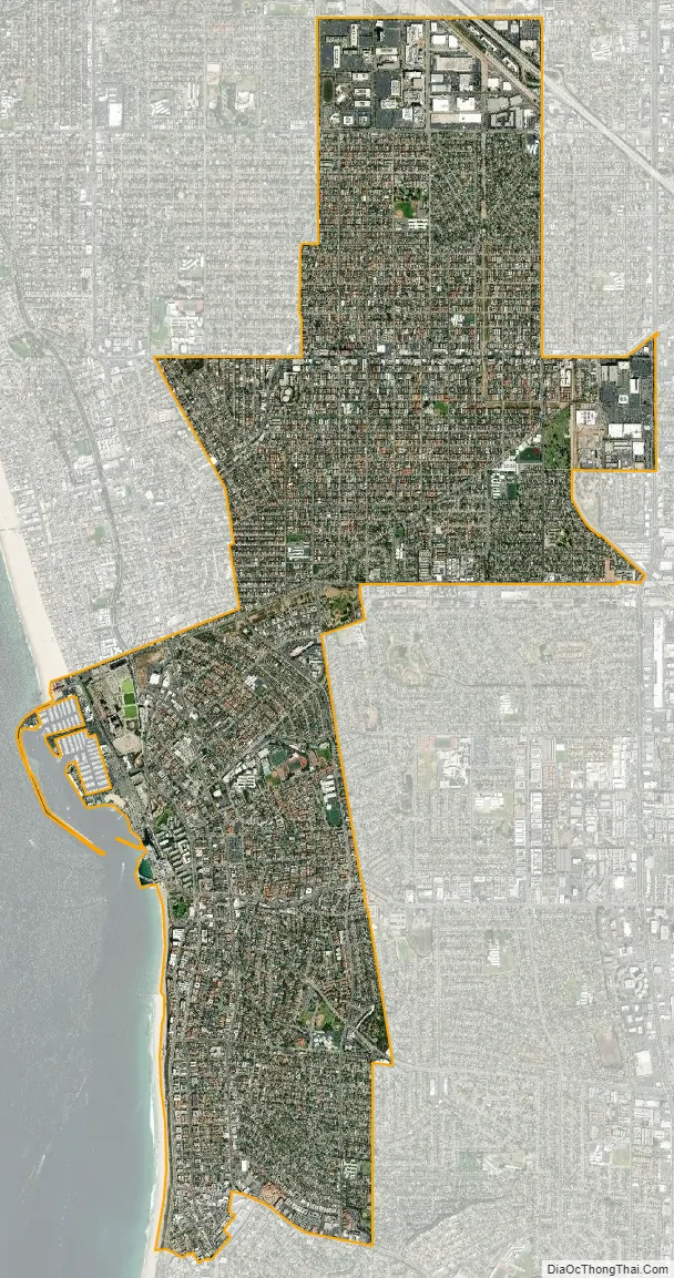
Geography
According to the United States Census Bureau, the city has a total area of 6.2 square miles (16.1 km), over 99% of it land.
Redondo Beach was originally part of the 1784 Rancho San Pedro Spanish land grant of the 43,000-acre (170 km) Dominguez Rancho that later became the ten-mile (16 km) ocean frontage of Rancho Sausal Redondo.
Neighborhoods
The ocean side of Pacific Coast Highway (PCH) has restaurants and boating activities while inland of PCH is largely residential. Redondo Breakwall is a well-known surf spot in the South Bay. This power plant sports Whaling Wall number 31, a 586 ft × 95 ft (179 m × 29 m) whale mural by artist Robert Wyland titled “Gray Whale Migration”.
Redondo Beach has a distinct division between the north and south sections of the city, with 190th, Anita, and Herondo streets forming its east–west boundary line. South Redondo is along the beachfront with the pier and marina/harbor complex. The small business district near the pier and marina was revived in the 1990s. That district was once focused on fishing and canning when the pier was used to transport fish-based foodstuffs and canned fish to American and Asian consumers, but that industry experienced an economic downfall in the 1970s and 1980s. The main library is located in the Civic Center.
North Redondo, north of 190th Street, is an inland community separated from the beachfront by Hermosa Beach and Manhattan Beach. While primarily residential, North Redondo contains some of the city’s major industrial and commercial space, including the inland aerospace and engineering firms that are part of Southern California’s long space legacy. It is also home to the South Bay Galleria shopping center and Artesia Boulevard. North Redondo is the home of the Redondo Beach Performing Arts Center and the Los Angeles Ballet. The North Branch of the Redondo Beach Library serves this area.
Zoning allows properties within two to three blocks of the beach to be developed as large, two to three-unit luxury townhomes; inland areas are more likely to have single-family homes. There is a citywide height limit of 32 ft (9.8 m) for new homes but rooftop living spaces and decks are allowed.
The Marina, Harbor and Pier complexes are planned centers of activity that host seafood restaurants, bars, and smaller shops.
Lifestyle
Much of the Redondo Beach lifestyle is a blend of the neighborhoods, activities and people of the three Beach Cities of Southern California’s South Bay. Like its sister cities of Hermosa Beach and Manhattan Beach, Redondo’s draw is the beach that links the three cities. Redondo was described as “The Gem of the Continent” in the Los Angeles Daily Herald in 1887.
The beach starts below the bluffs of Palos Verdes in the south (after Torrance Beach) and carries north to the Redondo Pier. The area of the beach that starts in Palos Verdes is known as “RAT (Right After Torrance) Beach.”
Climate
Redondo Beach has a warm-summer Mediterranean climate (Köppen climate classification: Csb) with mild winters and warm, almost rainless summers. The coldest months are December through March, and the warmest months are July through September. Redondo Beach has mild temperatures year round due to its coastal location.
See also
Map of California State and its subdivision:- Alameda
- Alpine
- Amador
- Butte
- Calaveras
- Colusa
- Contra Costa
- Del Norte
- El Dorado
- Fresno
- Glenn
- Humboldt
- Imperial
- Inyo
- Kern
- Kings
- Lake
- Lassen
- Los Angeles
- Madera
- Marin
- Mariposa
- Mendocino
- Merced
- Modoc
- Mono
- Monterey
- Napa
- Nevada
- Orange
- Placer
- Plumas
- Riverside
- Sacramento
- San Benito
- San Bernardino
- San Diego
- San Francisco
- San Joaquin
- San Luis Obispo
- San Mateo
- Santa Barbara
- Santa Clara
- Santa Cruz
- Shasta
- Sierra
- Siskiyou
- Solano
- Sonoma
- Stanislaus
- Sutter
- Tehama
- Trinity
- Tulare
- Tuolumne
- Ventura
- Yolo
- Yuba
- Alabama
- Alaska
- Arizona
- Arkansas
- California
- Colorado
- Connecticut
- Delaware
- District of Columbia
- Florida
- Georgia
- Hawaii
- Idaho
- Illinois
- Indiana
- Iowa
- Kansas
- Kentucky
- Louisiana
- Maine
- Maryland
- Massachusetts
- Michigan
- Minnesota
- Mississippi
- Missouri
- Montana
- Nebraska
- Nevada
- New Hampshire
- New Jersey
- New Mexico
- New York
- North Carolina
- North Dakota
- Ohio
- Oklahoma
- Oregon
- Pennsylvania
- Rhode Island
- South Carolina
- South Dakota
- Tennessee
- Texas
- Utah
- Vermont
- Virginia
- Washington
- West Virginia
- Wisconsin
- Wyoming


