Rodeo (/roʊˈdeɪ.oʊ/; Spanish for “Cattle roundup”) is a census-designated place (CDP) located in Contra Costa County, California, in the East Bay sub-region of the San Francisco Bay Area, on the eastern shore of San Pablo Bay, 25 miles northeast of San Francisco. The population was 9,653 at the 2020 census. The town is named for the rodeos common in the late 19th century. Cattle from the surrounding hills were regularly driven down through the old town to a loading dock on the shoreline of San Pablo Bay for shipment to slaughterhouses, a practice which continued through the early 20th century. The town of Rodeo is served by the Interstate 80 freeway and State Route 4. The Southern Pacific Railroad main line passes through Rodeo. Rodeo has not been a stop on the railroad since the 1950s.
| Name: | Rodeo CDP |
|---|---|
| LSAD Code: | 57 |
| LSAD Description: | CDP (suffix) |
| State: | California |
| County: | Contra Costa County |
| Elevation: | 16 ft (5 m) |
| Total Area: | 4.632 sq mi (12.00 km²) |
| Land Area: | 3.747 sq mi (9.70 km²) |
| Water Area: | 0.885 sq mi (2.29 km²) 19.1% |
| Total Population: | 9,653 |
| Population Density: | 2,100/sq mi (800/km²) |
| ZIP code: | 94547, 94572 |
| Area code: | 510, 341 |
| FIPS code: | 0662490 |
Online Interactive Map
Click on ![]() to view map in "full screen" mode.
to view map in "full screen" mode.
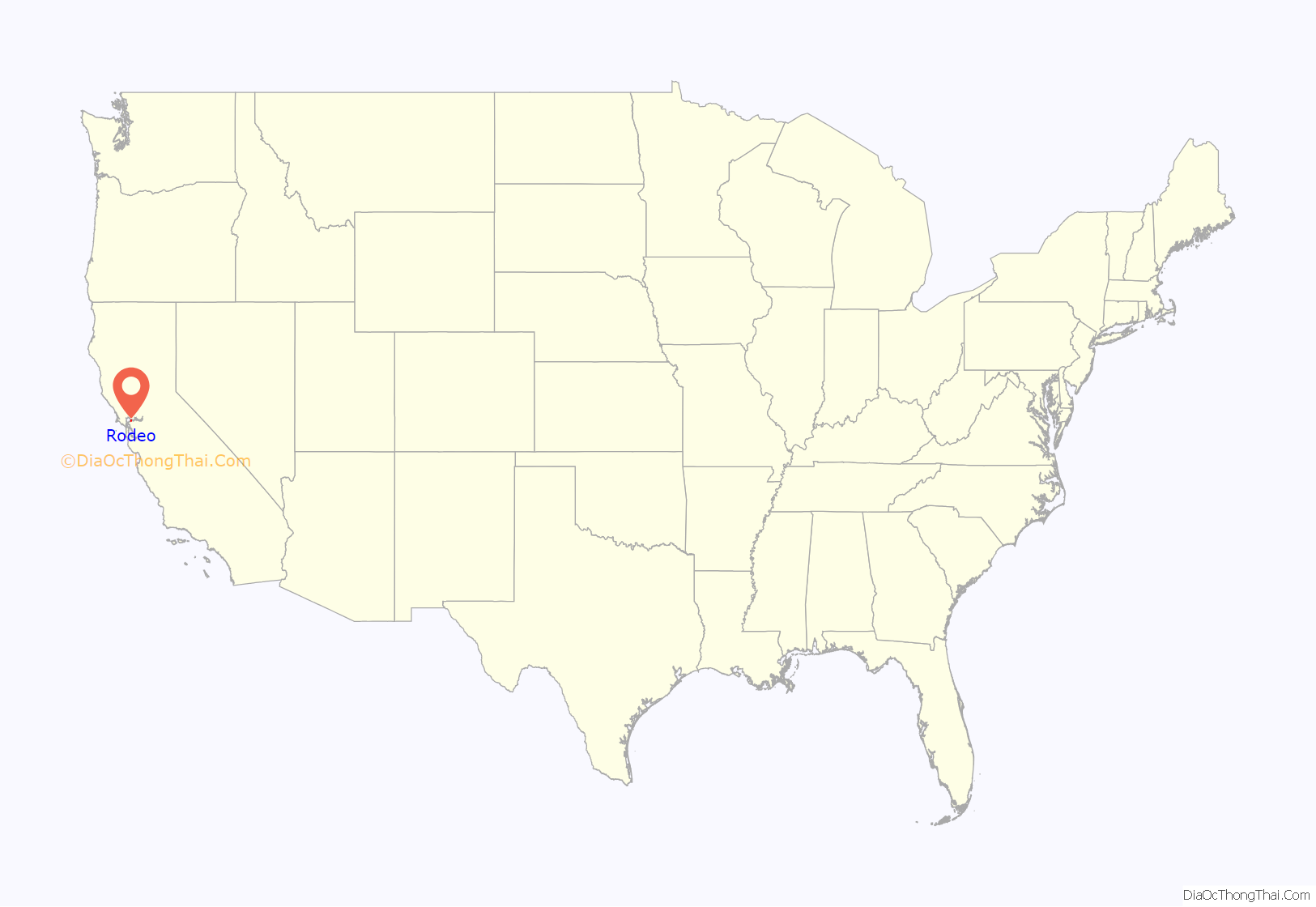
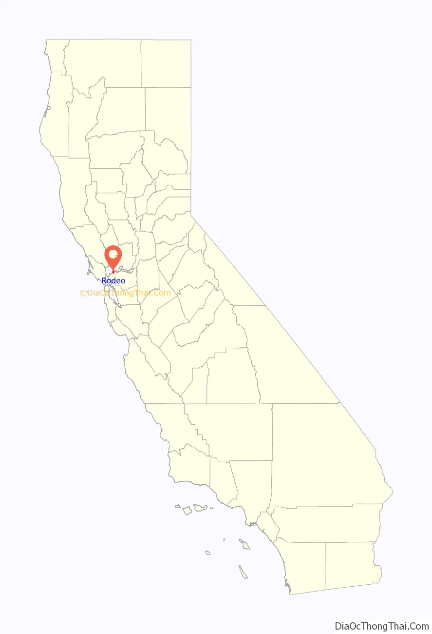
Rodeo location map. Where is Rodeo CDP?
History
Rodeo owes much of its history to brothers John and Patrick Tormey, who purchased tracts of land from the Ygnacio Martinez Rancho El Pinole estate in 1865 and 1867.
They became successful ranchers and businessmen, amassed sizable fortunes and held public office. Patrick Tormey (for whom the nearby town of Tormey is named) had visions of this area of Contra Costa County becoming the meatpacking and canning center of the Pacific coast. In partnership with the Union Stockyard Co. in 1890, he sold some of the land to them and began to lay out plans and make large investments for the stockyard facilities. Eventually, streets were graded and lots were prepared for homesteads, thus creating the town of Rodeo.
Patrick Tormey also sold land in the nearby town of Oleum to the California Lumber Co. for use as a lumberyard (which eventually would be sold to the Union Oil Co. for an oil refinery site). He also sold land in nearby Selby, which was used by the Selby Smelting & Lead Co. He funded the meatpacking plant, corrals and the Rodeo Hotel.
The first post office opened in 1892.
After recession in 1893, Patrick Tormey struggled to keep finances going as business began to close, culminating with the bankruptcy of the Union Stockyard Co. Patrick Tormey was plagued with lawsuits over the bankruptcy for the remainder of his life. Residents were able to find work in nearby towns of Crockett (C&H Sugar), Vallejo (the Mare Island Naval Shipyard), Hercules (Hercules Powder Co.), and Union Oil Co. in Oleum.
Rodeo as a community managed to continue, but was devastated in the 1906 San Francisco earthquake. In the aftermath, the town would rebuild much like other communities around the San Francisco Bay area. There is a large oil refinery adjacent to Rodeo, built in 1896 and currently operated by Phillips 66.
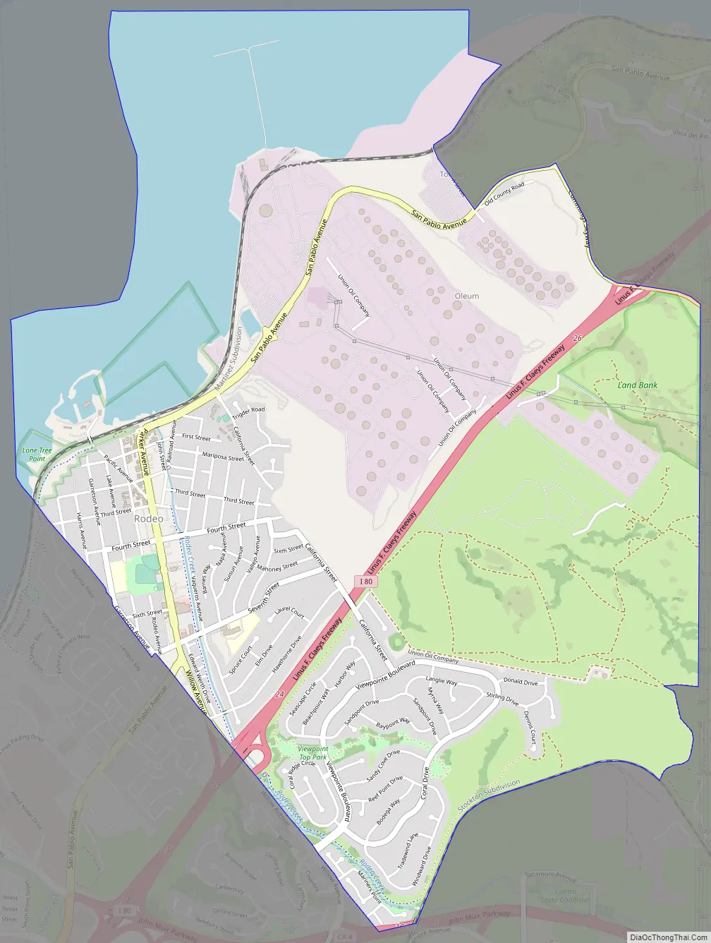
Rodeo Road Map
Rodeo city Satellite Map
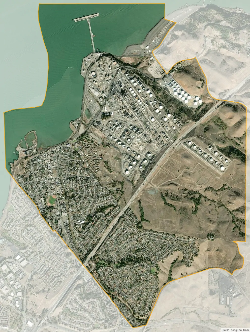
Geography
According to the United States Census Bureau, the CDP has a total area of 4.6 square miles (12 km), 81% is land, 19% is water.
See also
Map of California State and its subdivision:- Alameda
- Alpine
- Amador
- Butte
- Calaveras
- Colusa
- Contra Costa
- Del Norte
- El Dorado
- Fresno
- Glenn
- Humboldt
- Imperial
- Inyo
- Kern
- Kings
- Lake
- Lassen
- Los Angeles
- Madera
- Marin
- Mariposa
- Mendocino
- Merced
- Modoc
- Mono
- Monterey
- Napa
- Nevada
- Orange
- Placer
- Plumas
- Riverside
- Sacramento
- San Benito
- San Bernardino
- San Diego
- San Francisco
- San Joaquin
- San Luis Obispo
- San Mateo
- Santa Barbara
- Santa Clara
- Santa Cruz
- Shasta
- Sierra
- Siskiyou
- Solano
- Sonoma
- Stanislaus
- Sutter
- Tehama
- Trinity
- Tulare
- Tuolumne
- Ventura
- Yolo
- Yuba
- Alabama
- Alaska
- Arizona
- Arkansas
- California
- Colorado
- Connecticut
- Delaware
- District of Columbia
- Florida
- Georgia
- Hawaii
- Idaho
- Illinois
- Indiana
- Iowa
- Kansas
- Kentucky
- Louisiana
- Maine
- Maryland
- Massachusetts
- Michigan
- Minnesota
- Mississippi
- Missouri
- Montana
- Nebraska
- Nevada
- New Hampshire
- New Jersey
- New Mexico
- New York
- North Carolina
- North Dakota
- Ohio
- Oklahoma
- Oregon
- Pennsylvania
- Rhode Island
- South Carolina
- South Dakota
- Tennessee
- Texas
- Utah
- Vermont
- Virginia
- Washington
- West Virginia
- Wisconsin
- Wyoming


