Shasta is a census-designated place (CDP) in Shasta County, California, United States. Shasta sits at an elevation of 843 feet (257 m). Its population is 1,043 as of the 2020 census, down from 1,771 from the 2010 census.
Shasta State Historic Park located at Shasta is a ghost town and California State Historic Park.
| Name: | Shasta CDP |
|---|---|
| LSAD Code: | 57 |
| LSAD Description: | CDP (suffix) |
| State: | California |
| County: | Shasta County |
| Elevation: | 843 ft (257 m) |
| Total Area: | 10.982 sq mi (28.444 km²) |
| Land Area: | 10.978 sq mi (28.433 km²) |
| Water Area: | 0.004 sq mi (0.012 km²) 0.04% |
| Total Population: | 1,043 |
| Population Density: | 95/sq mi (37/km²) |
| FIPS code: | 0671218 |
| GNISfeature ID: | 2583135 |
Online Interactive Map
Click on ![]() to view map in "full screen" mode.
to view map in "full screen" mode.
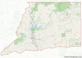
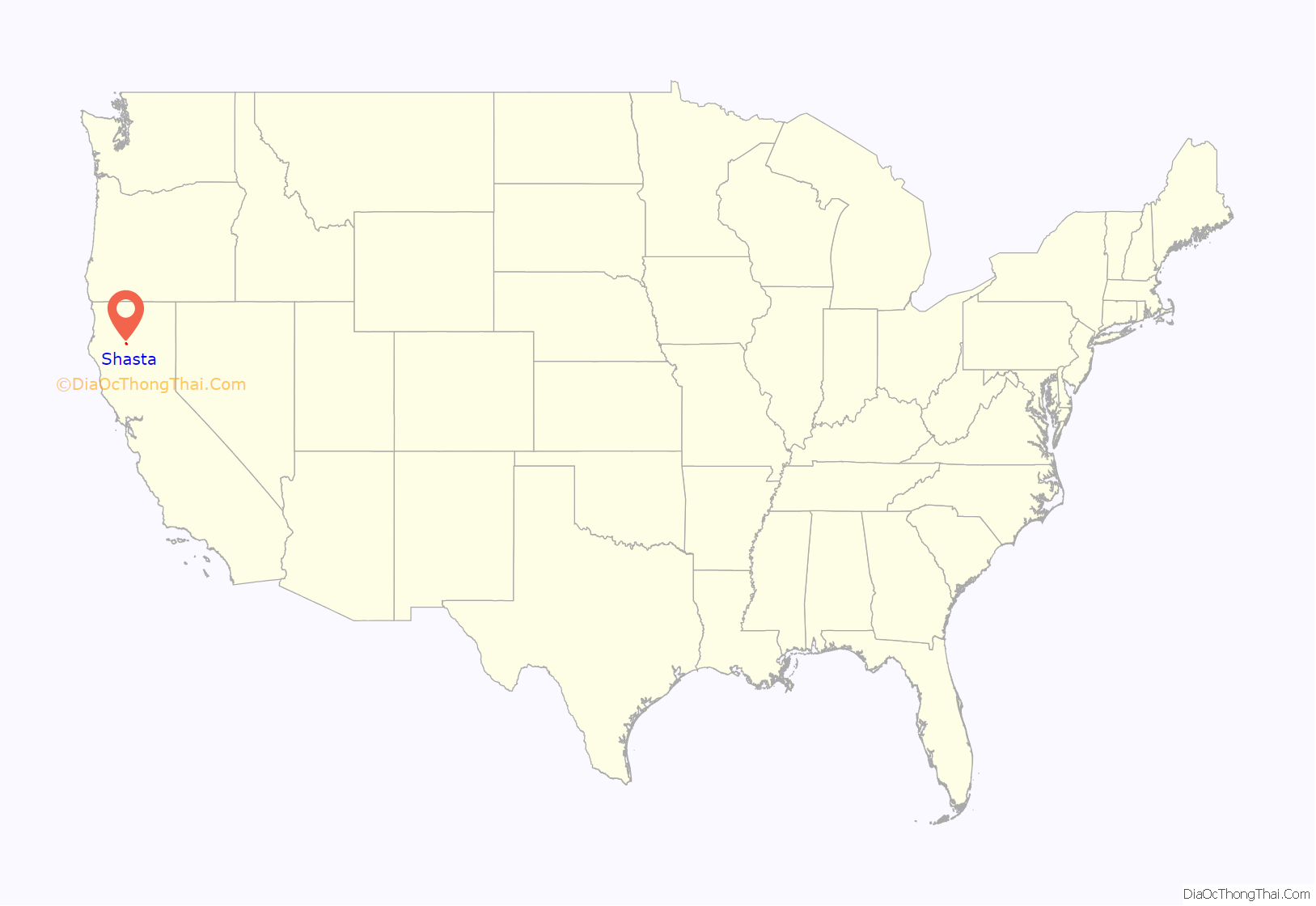
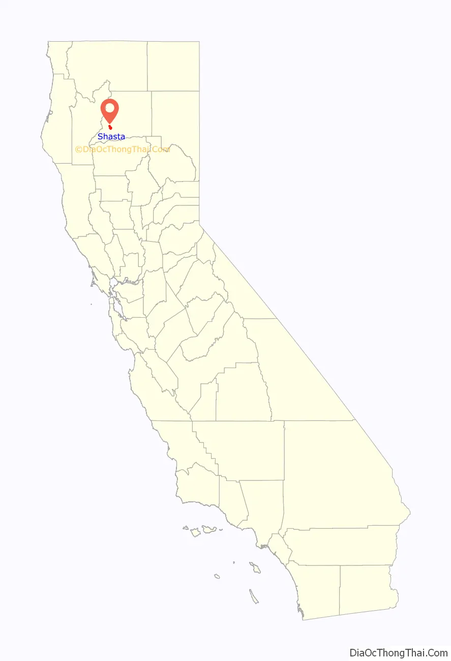
Shasta location map. Where is Shasta CDP?
History
A bustling town of the 1850s through the 1880s, Shasta was for its time, the largest settlement in Shasta County and the surrounding area. Sometimes referred to today as “Old Shasta”, the town was an important commercial center and a major shipping point for mule trains and stagecoaches serving the mining towns and later settlements of northern California. The discovery of gold near Shasta in 1848 brought California Gold Rush-era Forty-Niners up the Siskiyou Trail in search of riches – most passed through Shasta, and continued to use it as base of operations. Those that stayed worked the placer gold diggings of nearby, short-lived camps like Horsetown, Buckeye, and Whiskeytown, California.
Situated about six miles (10 km) west of Redding, California along Highway 299, Shasta was once home to some 3,500 residents, the county seat, and a thriving commercial district. However, in 1873, the under construction Oregon-bound branch of the Central Pacific Railroad bypassed Shasta, in favor of Redding and the town began its decline into near “ghost town” status. In 1888, Shasta lost the county seat to Redding. By the twentieth century, and after several fires, a distinctive row of gold rush era buildings remained along its Main Street, which attracted preservationists and their efforts to save all the local stories and landscape, and the remaining first generation of 1850s brick and iron door architecture.
The poet Joaquin Miller refers to Shasta in his 1870s novel, Life Amongst the Modocs, based on the experiences of Miller as a young man living in the area in the 1850s. In this book, Miller describes his brief imprisonment in a Shasta jail for horse-stealing and subsequent escape with the aid of his Native American wife.
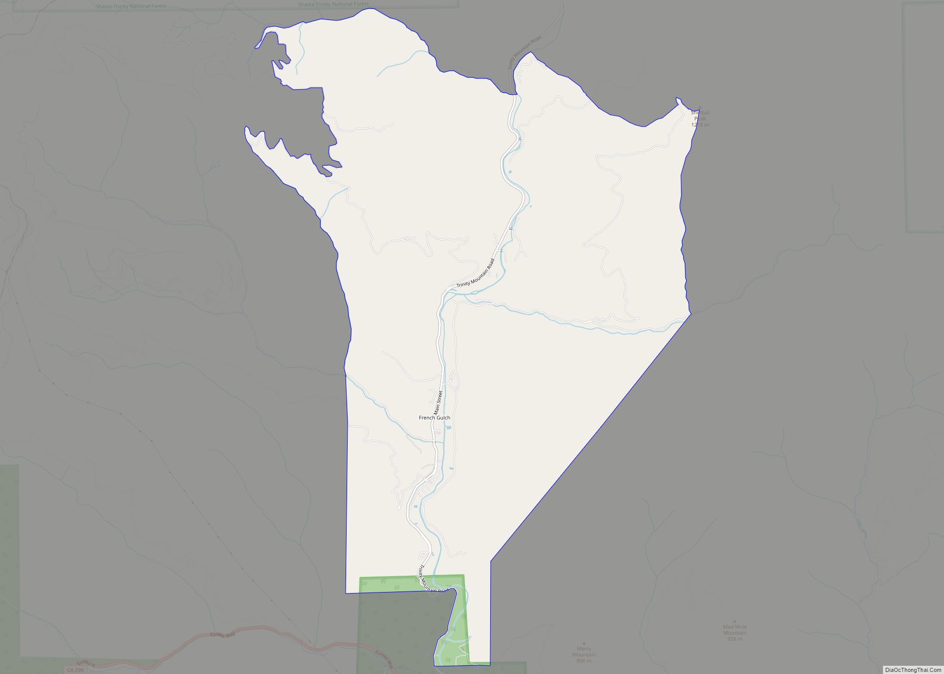
Shasta Road Map

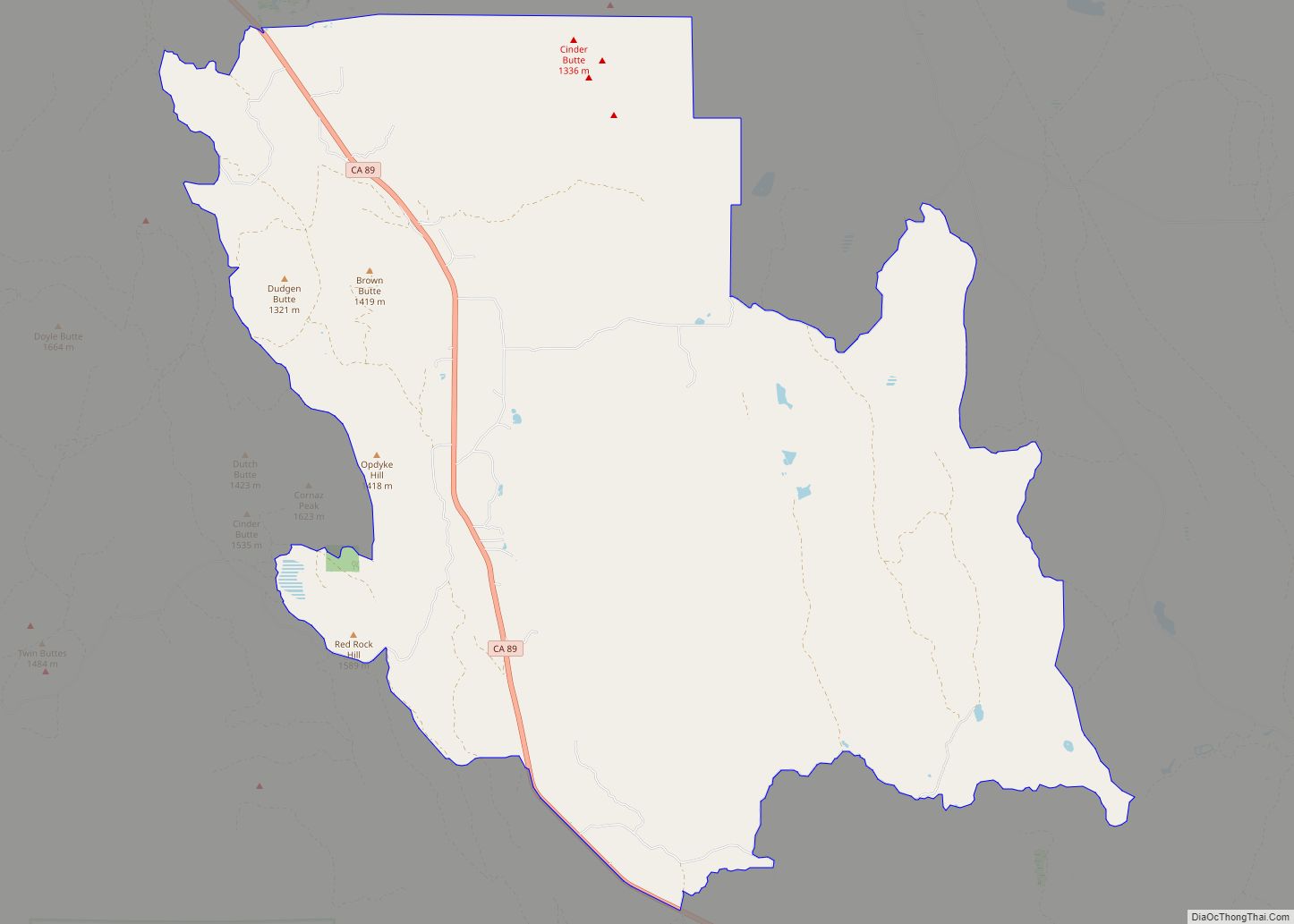
Shasta city Satellite Map

Geography
According to the United States Census Bureau, the CDP covers an area of 11.0 square miles (28.4 km), 99.96% of it land and 0.04% of it water.
See also
Map of California State and its subdivision:- Alameda
- Alpine
- Amador
- Butte
- Calaveras
- Colusa
- Contra Costa
- Del Norte
- El Dorado
- Fresno
- Glenn
- Humboldt
- Imperial
- Inyo
- Kern
- Kings
- Lake
- Lassen
- Los Angeles
- Madera
- Marin
- Mariposa
- Mendocino
- Merced
- Modoc
- Mono
- Monterey
- Napa
- Nevada
- Orange
- Placer
- Plumas
- Riverside
- Sacramento
- San Benito
- San Bernardino
- San Diego
- San Francisco
- San Joaquin
- San Luis Obispo
- San Mateo
- Santa Barbara
- Santa Clara
- Santa Cruz
- Shasta
- Sierra
- Siskiyou
- Solano
- Sonoma
- Stanislaus
- Sutter
- Tehama
- Trinity
- Tulare
- Tuolumne
- Ventura
- Yolo
- Yuba
- Alabama
- Alaska
- Arizona
- Arkansas
- California
- Colorado
- Connecticut
- Delaware
- District of Columbia
- Florida
- Georgia
- Hawaii
- Idaho
- Illinois
- Indiana
- Iowa
- Kansas
- Kentucky
- Louisiana
- Maine
- Maryland
- Massachusetts
- Michigan
- Minnesota
- Mississippi
- Missouri
- Montana
- Nebraska
- Nevada
- New Hampshire
- New Jersey
- New Mexico
- New York
- North Carolina
- North Dakota
- Ohio
- Oklahoma
- Oregon
- Pennsylvania
- Rhode Island
- South Carolina
- South Dakota
- Tennessee
- Texas
- Utah
- Vermont
- Virginia
- Washington
- West Virginia
- Wisconsin
- Wyoming