Stratford (formerly, Stratton) is a census-designated place (CDP) in Kings County, California, United States. Stratford is located 14 miles (23 km) southwest of Hanford, at an elevation of 203 feet (62 m). It is part of the Hanford–Lemoore Metropolitan Statistical Area. The population was 1,277 at the 2010 census, up from 1,264 at the 2000 census.
| Name: | Stratford CDP |
|---|---|
| LSAD Code: | 57 |
| LSAD Description: | CDP (suffix) |
| State: | California |
| County: | Kings County |
| Founded: | 1901 (as Stratton) |
| Elevation: | 203 ft (62 m) |
| Total Area: | 0.683 sq mi (1.769 km²) |
| Land Area: | 0.683 sq mi (1.769 km²) |
| Water Area: | 0 sq mi (0 km²) 0% |
| Total Population: | 1,277 |
| Population Density: | 1,900/sq mi (720/km²) |
| ZIP code: | 93266 |
| Area code: | 559 |
| FIPS code: | 0675252 |
| GNISfeature ID: | 1661510 |
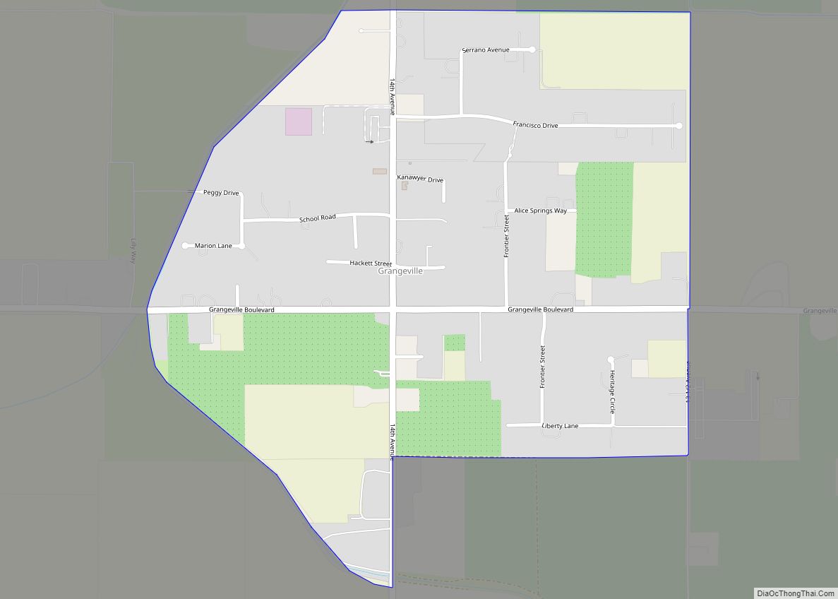
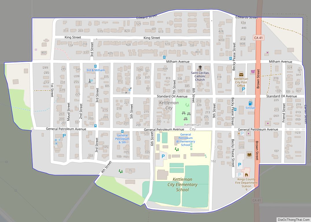
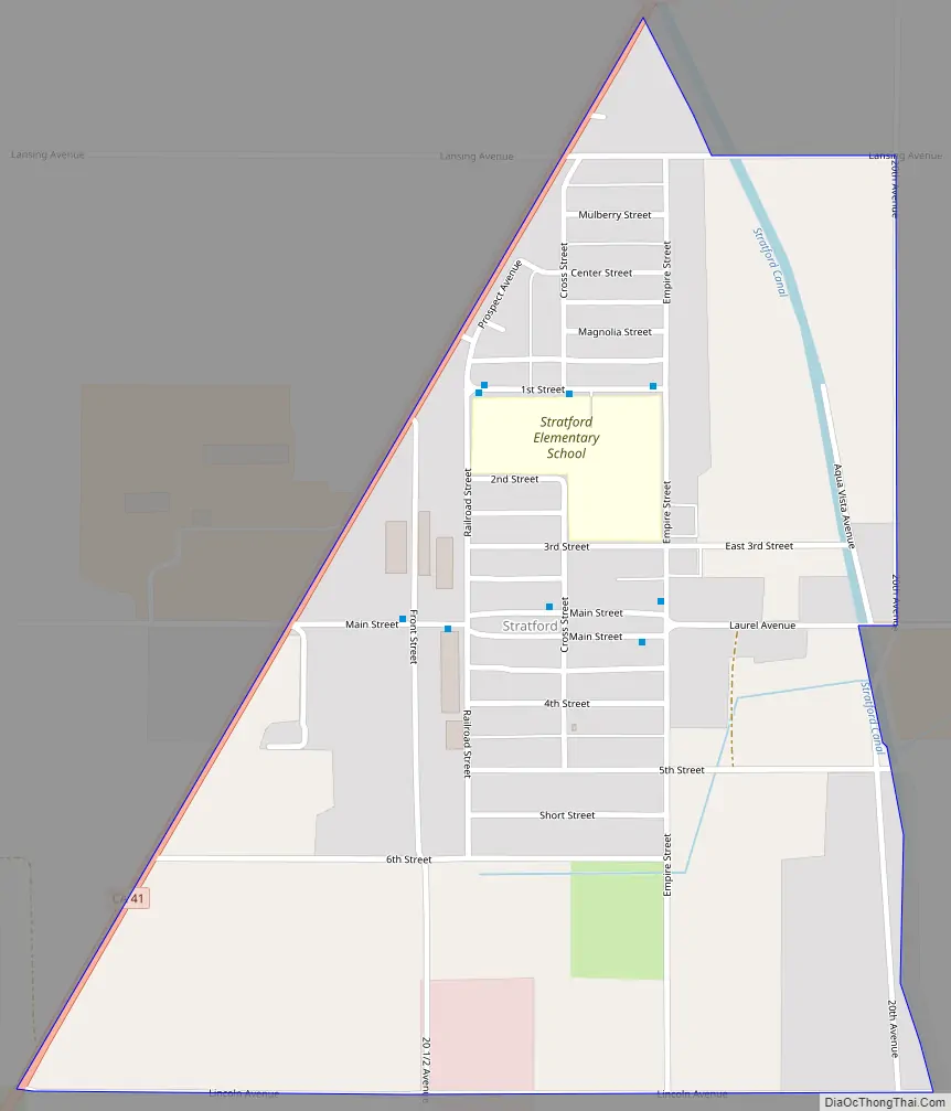
Online Interactive Map
Click on ![]() to view map in "full screen" mode.
to view map in "full screen" mode.
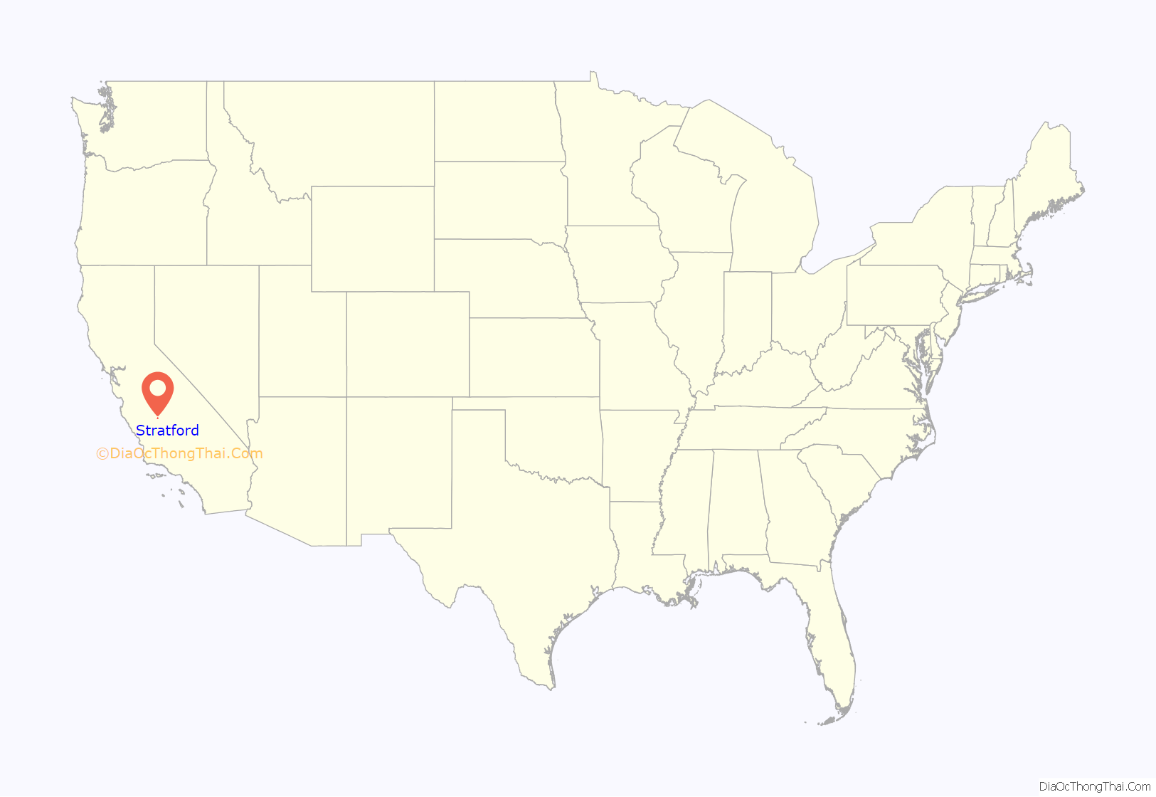
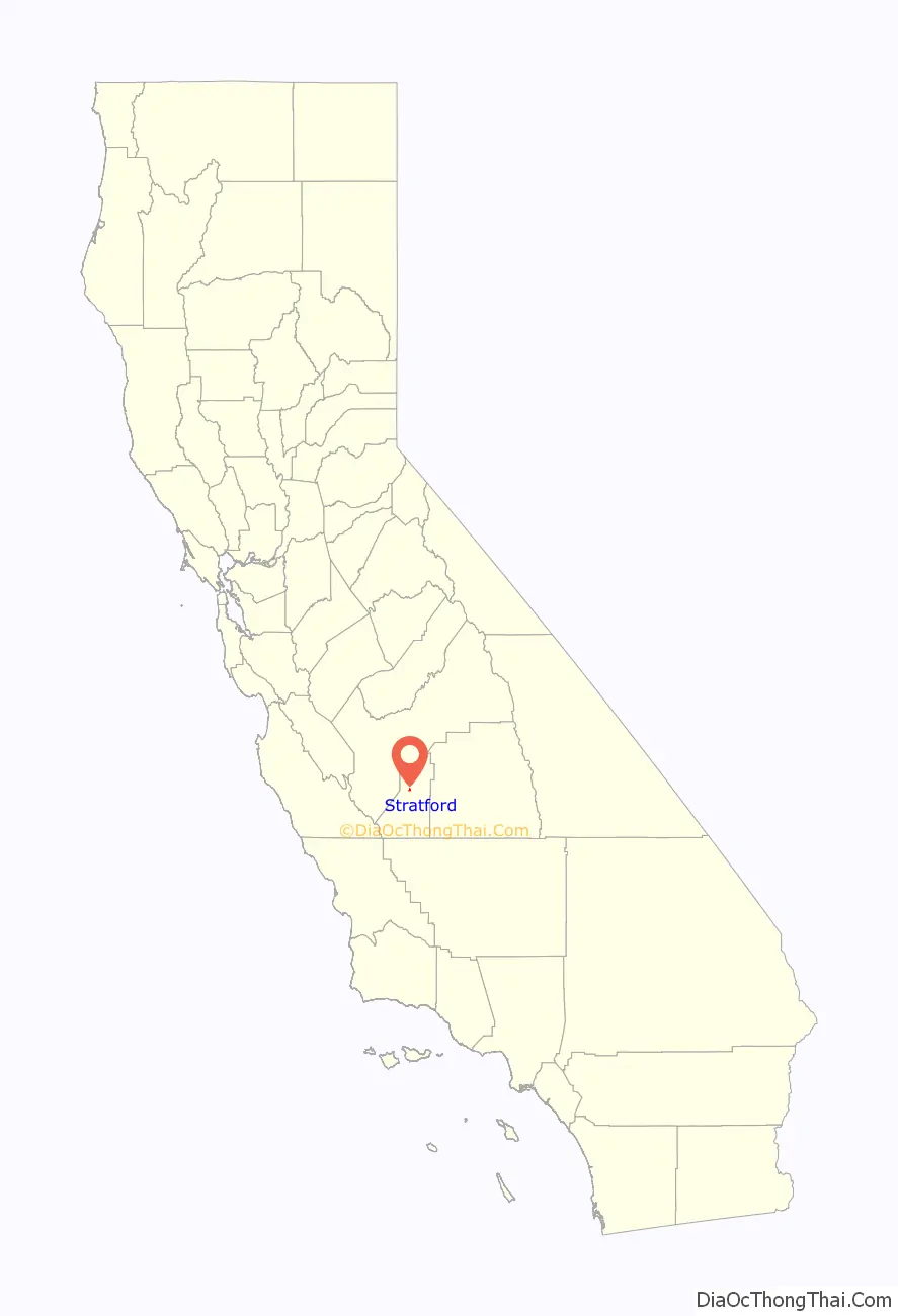
Stratford location map. Where is Stratford CDP?
History
The town was originally named Stratton in 1901 for William Stratton of the Empire Land and Water Company. The name was changed to Stratford in 1906 due to the efforts of the local women’s club. The first post office at Stratford opened in 1910. From the 1930s through the 1970s, Stratford was the home of Irigaray’s, a restaurant run by Mariana Irigaray and her daughter Alice, pioneering a Basque-inspired version of what would later be called California cuisine.
Many local residents are employed in agriculture, affected by the Great Recession and the California drought. Stratford has been affected by land subsidence.
In November 2016, the unemployment rate was estimated at 13.1%.
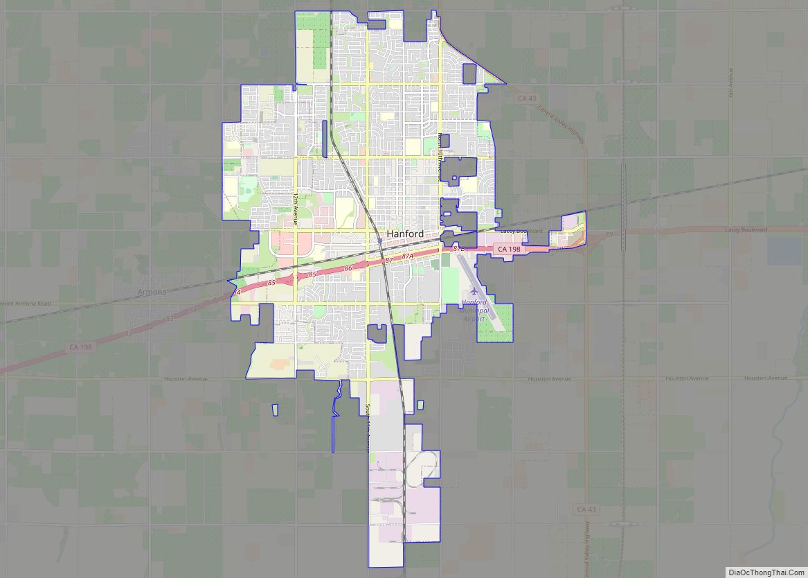
Stratford Road Map
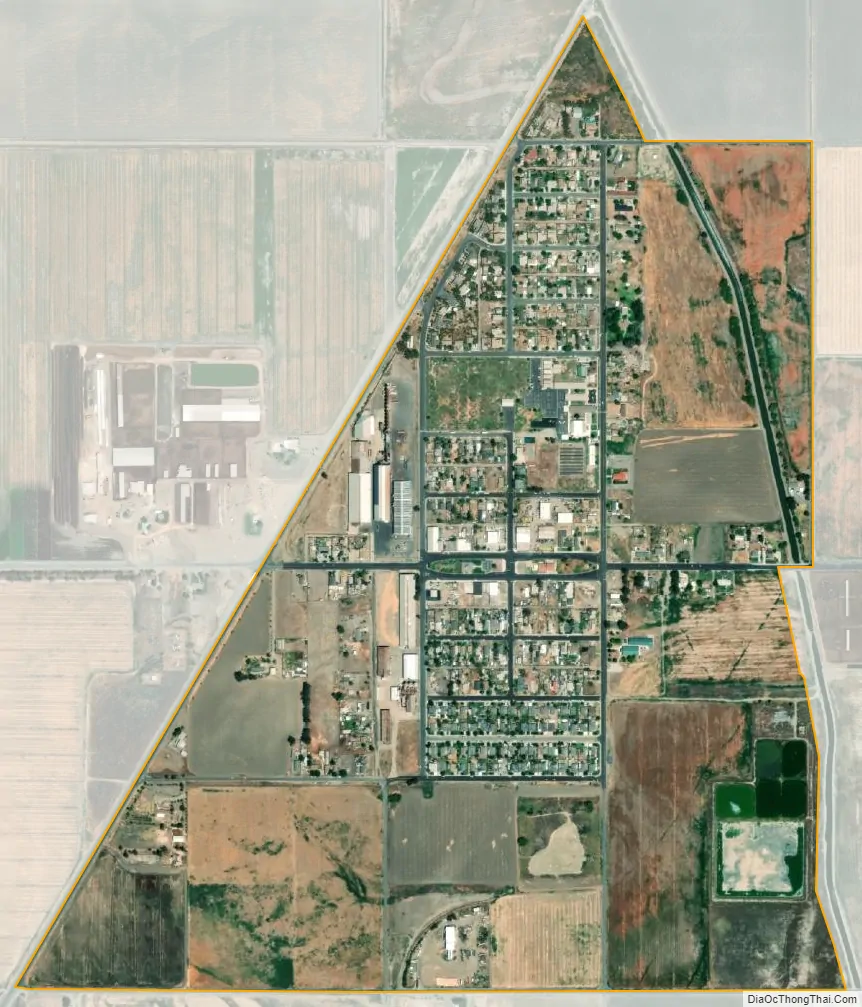
Stratford city Satellite Map
Geography
Stratford lies near the historic shoreline of Tulare Lake. The Kings River flows through an artificial channel into the normally dry Tulare Lake bed about 10 miles (16 km) south of Stratford.
According to the United States Census Bureau, Stratford has a total area of 0.7 square miles (1.8 km), all of it land. Stratford is located at 36°11′22″N 119°49′23″W / 36.18944°N 119.82306°W / 36.18944; -119.82306.
See also
Map of California State and its subdivision:- Alameda
- Alpine
- Amador
- Butte
- Calaveras
- Colusa
- Contra Costa
- Del Norte
- El Dorado
- Fresno
- Glenn
- Humboldt
- Imperial
- Inyo
- Kern
- Kings
- Lake
- Lassen
- Los Angeles
- Madera
- Marin
- Mariposa
- Mendocino
- Merced
- Modoc
- Mono
- Monterey
- Napa
- Nevada
- Orange
- Placer
- Plumas
- Riverside
- Sacramento
- San Benito
- San Bernardino
- San Diego
- San Francisco
- San Joaquin
- San Luis Obispo
- San Mateo
- Santa Barbara
- Santa Clara
- Santa Cruz
- Shasta
- Sierra
- Siskiyou
- Solano
- Sonoma
- Stanislaus
- Sutter
- Tehama
- Trinity
- Tulare
- Tuolumne
- Ventura
- Yolo
- Yuba
- Alabama
- Alaska
- Arizona
- Arkansas
- California
- Colorado
- Connecticut
- Delaware
- District of Columbia
- Florida
- Georgia
- Hawaii
- Idaho
- Illinois
- Indiana
- Iowa
- Kansas
- Kentucky
- Louisiana
- Maine
- Maryland
- Massachusetts
- Michigan
- Minnesota
- Mississippi
- Missouri
- Montana
- Nebraska
- Nevada
- New Hampshire
- New Jersey
- New Mexico
- New York
- North Carolina
- North Dakota
- Ohio
- Oklahoma
- Oregon
- Pennsylvania
- Rhode Island
- South Carolina
- South Dakota
- Tennessee
- Texas
- Utah
- Vermont
- Virginia
- Washington
- West Virginia
- Wisconsin
- Wyoming