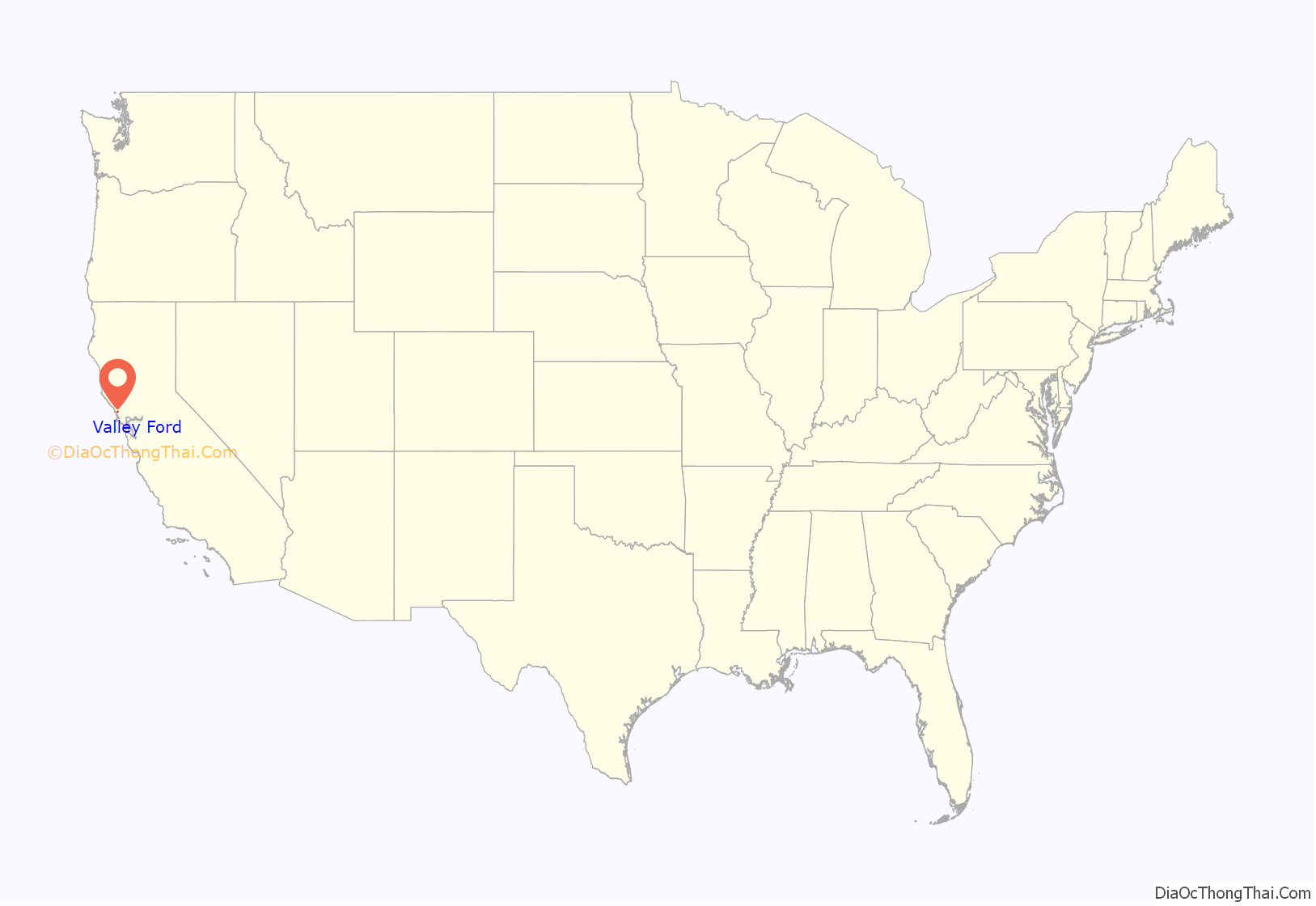
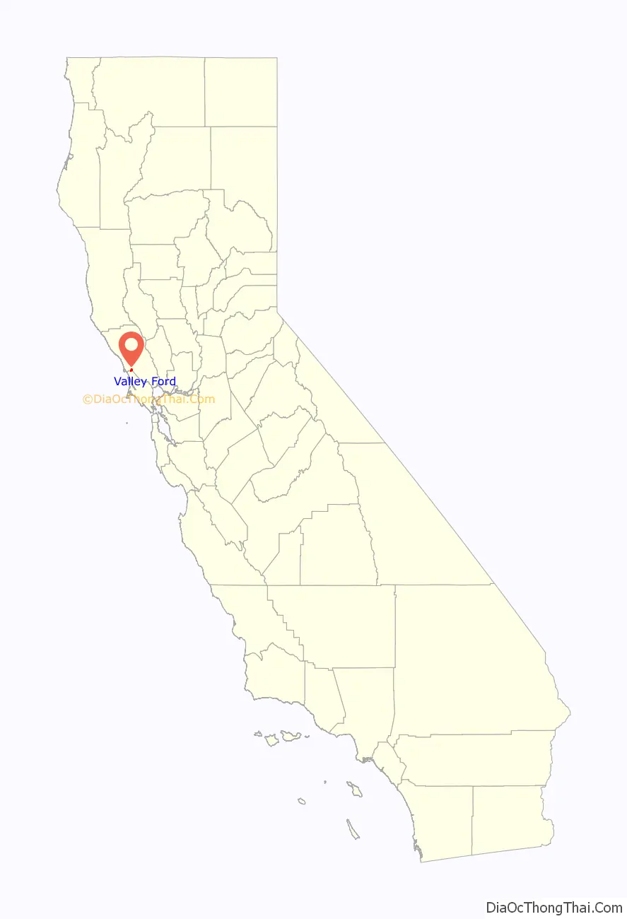
Valley Ford is an unincorporated community and census-designated place (CDP) in western Sonoma County, California, United States. It is located on State Route 1 north of San Francisco. Like all of Sonoma County, Valley Ford is included in both the San Francisco Bay Area and the Redwood Empire.
The village lies just north of Americano Creek, about 5 mi (8 km) from the Pacific Ocean. It is 7 mi (11 km) north of Dillon Beach, California, 9 mi (14 km) east of the town of Bodega Bay and 20 mi (32 km) southeast of Jenner, California. The Estero Americano is protected by the Estero Americano State Marine Recreational Management Area.
| Name: | Valley Ford CDP |
|---|---|
| LSAD Code: | 57 |
| LSAD Description: | CDP (suffix) |
| State: | California |
| County: | Sonoma County |
| Elevation: | 52 ft (16 m) |
| Total Area: | 2.642 sq mi (6.842 km²) |
| Land Area: | 2.642 sq mi (6.842 km²) |
| Water Area: | 0 sq mi (0 km²) 0% |
| Total Population: | 148 |
| Population Density: | 56/sq mi (22/km²) |
| ZIP code: | 94972 |
| Area code: | 707 |
| FIPS code: | 0681778 |
| GNISfeature ID: | 236972 |
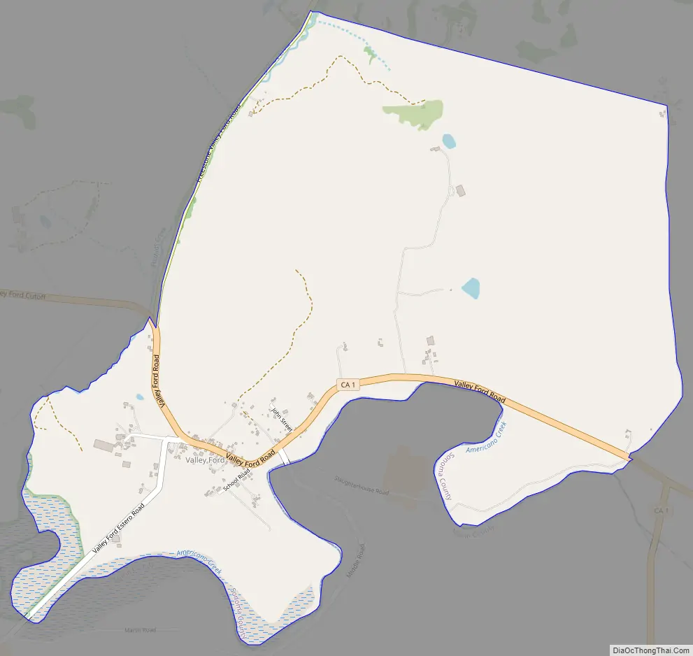
Online Interactive Map
Click on ![]() to view map in "full screen" mode.
to view map in "full screen" mode.
Valley Ford location map. Where is Valley Ford CDP?
History
For millennia, the indigenous Coast Miwok and Pomo people have hunted, fished and gathered in the area. A Miwok village named Ewapalt has been documented in the Valley Ford area.
Europeans explored the coastline in the early 17th century but did not settle until 1812, when Russian fur traders came south from Alaska and built Fort Ross about 22 mi (40 km) northwest of Valley Ford. The Russians remained until 1841, when the area came under Mexican rule. In September 1850, California became a US state, the area was made part of Sonoma County.
Valley Ford had a grain mill in the mid-19th century. Starting in the 1870s, Valley Ford was a stop on the North Pacific Coast Railroad connecting Cazadero to the Sausalito ferry, enabling local ranchers and fishers to export produce to San Francisco.
In 1976, Christo and Jeanne-Claude’s installation art piece Running Fence passed through Valley Ford on its way from Cotati to Bodega Bay.
Open from 1856 to 1967, Watson School once served as Valley Ford’s school, and is located in a Sonoma County Regional Parks Department historic park about 3.5 miles north of Valley Ford.
Valley Ford Road Map
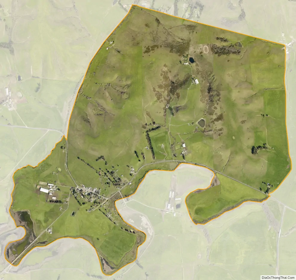
Valley Ford city Satellite Map
Geography
According to the United States Census Bureau, the CDP covers an area of 2.6 square miles (6.8 km), all of it land.
See also
Map of California State and its subdivision:- Alameda
- Alpine
- Amador
- Butte
- Calaveras
- Colusa
- Contra Costa
- Del Norte
- El Dorado
- Fresno
- Glenn
- Humboldt
- Imperial
- Inyo
- Kern
- Kings
- Lake
- Lassen
- Los Angeles
- Madera
- Marin
- Mariposa
- Mendocino
- Merced
- Modoc
- Mono
- Monterey
- Napa
- Nevada
- Orange
- Placer
- Plumas
- Riverside
- Sacramento
- San Benito
- San Bernardino
- San Diego
- San Francisco
- San Joaquin
- San Luis Obispo
- San Mateo
- Santa Barbara
- Santa Clara
- Santa Cruz
- Shasta
- Sierra
- Siskiyou
- Solano
- Sonoma
- Stanislaus
- Sutter
- Tehama
- Trinity
- Tulare
- Tuolumne
- Ventura
- Yolo
- Yuba
- Alabama
- Alaska
- Arizona
- Arkansas
- California
- Colorado
- Connecticut
- Delaware
- District of Columbia
- Florida
- Georgia
- Hawaii
- Idaho
- Illinois
- Indiana
- Iowa
- Kansas
- Kentucky
- Louisiana
- Maine
- Maryland
- Massachusetts
- Michigan
- Minnesota
- Mississippi
- Missouri
- Montana
- Nebraska
- Nevada
- New Hampshire
- New Jersey
- New Mexico
- New York
- North Carolina
- North Dakota
- Ohio
- Oklahoma
- Oregon
- Pennsylvania
- Rhode Island
- South Carolina
- South Dakota
- Tennessee
- Texas
- Utah
- Vermont
- Virginia
- Washington
- West Virginia
- Wisconsin
- Wyoming


