Volta is an unincorporated community and census-designated place (CDP) in Merced County, California, United States. It is located 5 miles (8 km) west-northwest of Los Banos at an elevation of 105 feet (32 m). The population was 366 at the 2020 census, up from 246 at the 2010 census.
From 1858 to 1861, Lone Willow Station a swing station for the Butterfield Overland Mail, was located east of here on the west bank of Mud Slough, 18 miles east of the St. Louis Ranch Station and 13 miles northwest of Temple’s Ranch station.
A post office operated at Volta from 1890 to 1972. The name was from the Volta Improvement Company.
| Name: | Volta CDP |
|---|---|
| LSAD Code: | 57 |
| LSAD Description: | CDP (suffix) |
| State: | California |
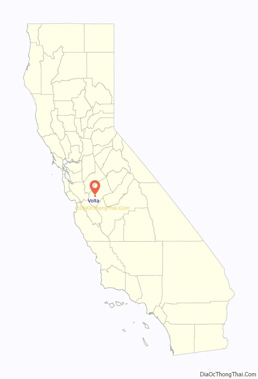
| County: | Merced County |
| Elevation: | 105 ft (32 m) |
| Total Area: | 4.434 sq mi (11.484 km²) |
| Land Area: | 4.370 sq mi (11.318 km²) |
| Water Area: | 0.064 sq mi (0.165 km²) 1.44% |
| Total Population: | 366 |
| Population Density: | 83/sq mi (32/km²) |
| ZIP code: | 93635 (Los Banos |
| Area code: | 209 |
| FIPS code: | 0683108 |
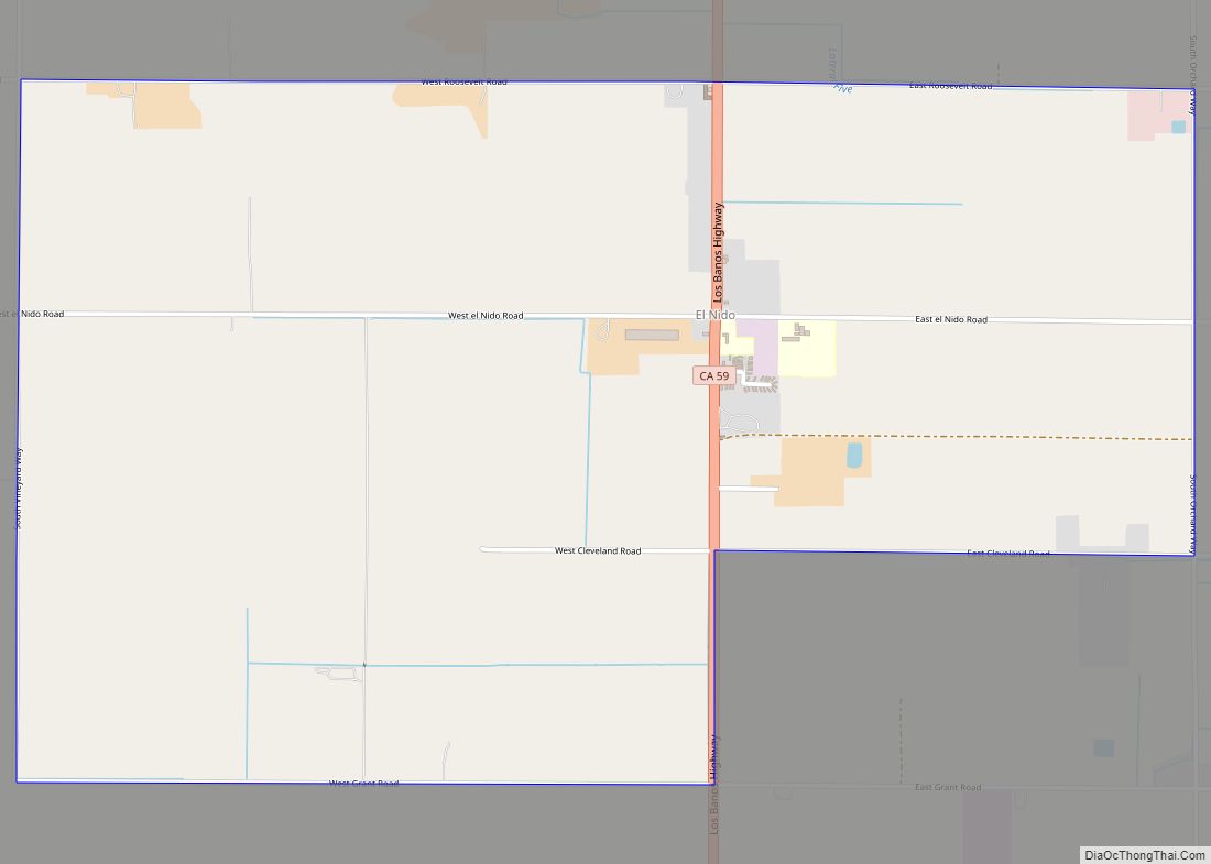
Online Interactive Map
Click on ![]() to view map in "full screen" mode.
to view map in "full screen" mode.
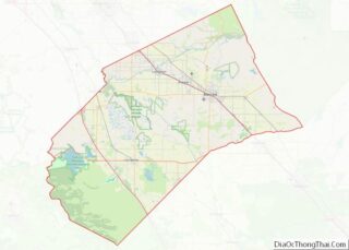
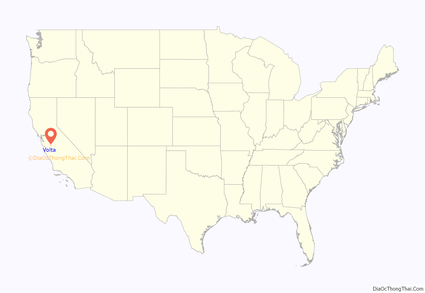
Volta location map. Where is Volta CDP?
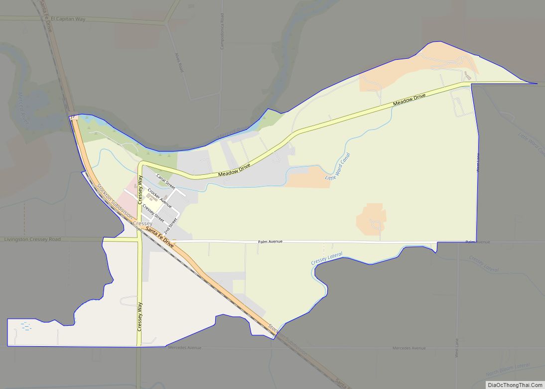
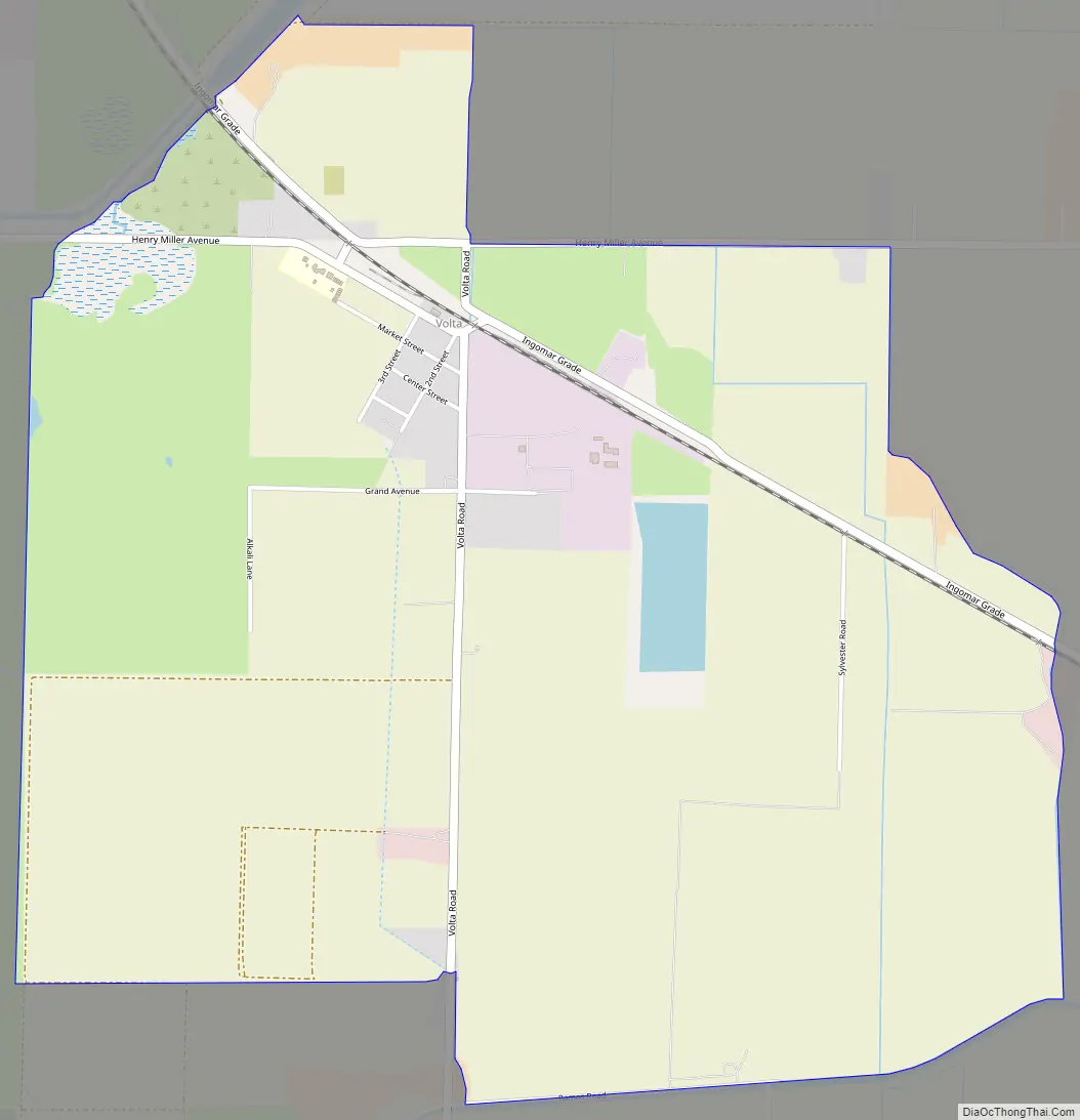
Volta Road Map
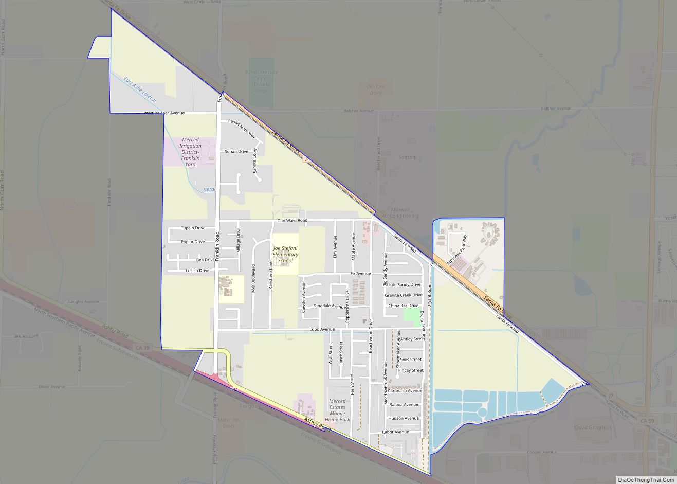
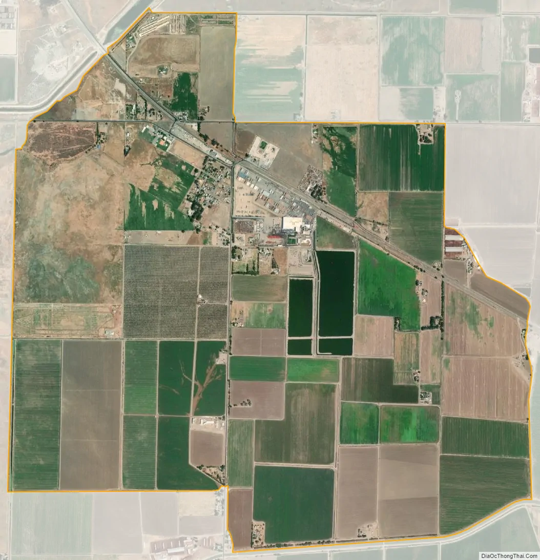
Volta city Satellite Map
Geography
Volta is in southwestern Merced County, between Los Banos to the southeast and Santa Nella to the west. It is on the western side of California’s Central Valley.
According to the United States Census Bureau, the CDP covers an area of 4.4 square miles (11 km), 98.56% of it land, and 1.44% of it water.
See also
Map of California State and its subdivision:- Alameda
- Alpine
- Amador
- Butte
- Calaveras
- Colusa
- Contra Costa
- Del Norte
- El Dorado
- Fresno
- Glenn
- Humboldt
- Imperial
- Inyo
- Kern
- Kings
- Lake
- Lassen
- Los Angeles
- Madera
- Marin
- Mariposa
- Mendocino
- Merced
- Modoc
- Mono
- Monterey
- Napa
- Nevada
- Orange
- Placer
- Plumas
- Riverside
- Sacramento
- San Benito
- San Bernardino
- San Diego
- San Francisco
- San Joaquin
- San Luis Obispo
- San Mateo
- Santa Barbara
- Santa Clara
- Santa Cruz
- Shasta
- Sierra
- Siskiyou
- Solano
- Sonoma
- Stanislaus
- Sutter
- Tehama
- Trinity
- Tulare
- Tuolumne
- Ventura
- Yolo
- Yuba
- Alabama
- Alaska
- Arizona
- Arkansas
- California
- Colorado
- Connecticut
- Delaware
- District of Columbia
- Florida
- Georgia
- Hawaii
- Idaho
- Illinois
- Indiana
- Iowa
- Kansas
- Kentucky
- Louisiana
- Maine
- Maryland
- Massachusetts
- Michigan
- Minnesota
- Mississippi
- Missouri
- Montana
- Nebraska
- Nevada
- New Hampshire
- New Jersey
- New Mexico
- New York
- North Carolina
- North Dakota
- Ohio
- Oklahoma
- Oregon
- Pennsylvania
- Rhode Island
- South Carolina
- South Dakota
- Tennessee
- Texas
- Utah
- Vermont
- Virginia
- Washington
- West Virginia
- Wisconsin
- Wyoming