Waterford is the eighth largest city in Stanislaus County, California, United States. The population was 9,120 at the 2020 census, up from 8,456 as of the 2010 census. Waterford is part of the Modesto Metropolitan Statistical Area.
| Name: | Waterford city |
|---|---|
| LSAD Code: | 25 |
| LSAD Description: | city (suffix) |
| State: | California |
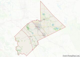
| County: | Stanislaus County |
| Incorporated: | as “Waterford” on November 7, 1969 |
| Elevation: | 171 ft (52 m) |
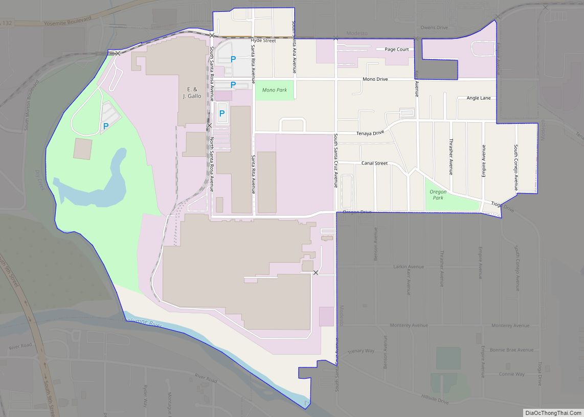
| Total Area: | 2.38 sq mi (6.17 km²) |
| Land Area: | 2.36 sq mi (6.11 km²) |
| Water Area: | 0.02 sq mi (0.06 km²) 1.72% |
| Total Population: | 9,120 |
| Population Density: | 3,800/sq mi (1,500/km²) |
| ZIP code: | 95386 |
| Area code: | 209 |
| FIPS code: | 0683612 |
| Website: | cityofwaterford.org |
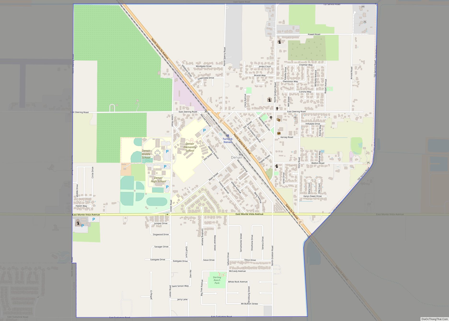
Online Interactive Map
Click on ![]() to view map in "full screen" mode.
to view map in "full screen" mode.
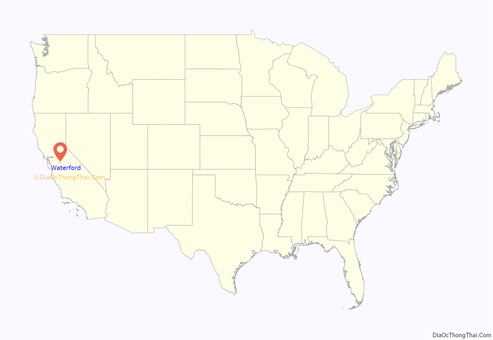
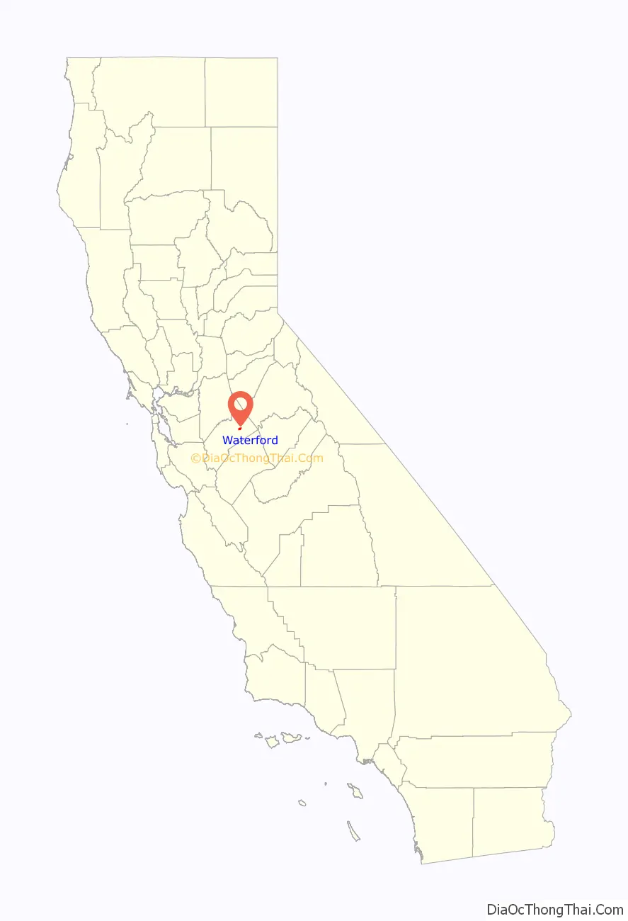
Waterford location map. Where is Waterford city?
History
The community which became Waterford began to form in the latter half of the 19th century, after surrounding regions became populated with 49ers. At this time the area was known as Bakersville, after one of the town’s influential members. It soon became apparent that mail was being mistaken between Bakersville and Bakersfield, California, and the smaller of the two was forced to change its name. At that time, the Tuolumne River did not have a bridge, and instead was crossed by Roberts Ferry on the waterfront. Since the area was well known for this ford, the town adopted the name of Waterford. For several decades, a regular steam locomotive could traverse the Tuolumne in Waterford on a trestle bridge, which was demolished in the second half of the 20th century. There are now no longer railway lines running through or near Waterford, even though many maps will still show the tracks going through the post office building.
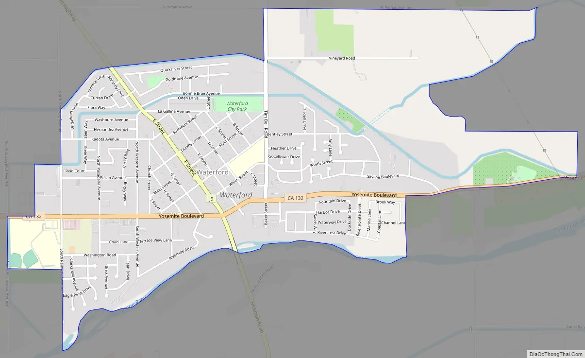
Waterford Road Map
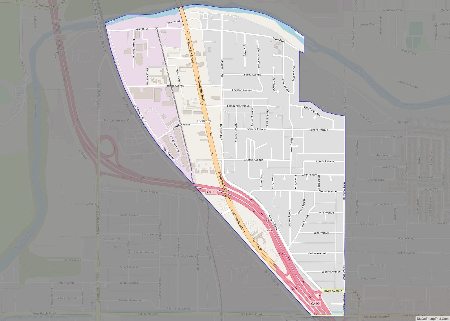
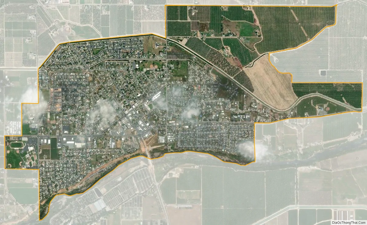
Waterford city Satellite Map
Geography
Waterford is located at 37°38′42″N 120°46′3″W / 37.64500°N 120.76750°W / 37.64500; -120.76750 (37.645132, -120.767609).
According to the United States Census Bureau, the city has a total area of 2.4 square miles (6.2 km), of which, 2.3 square miles (6.0 km) of it is land and 0.04 square miles (0.10 km) of it (1.72%) is water.
The city was founded around the Tuolumne River. City population signs report Waterford’s elevation is 51 feet (16 m) above sea level.
Climate
Waterford has a hot-summer Mediterranean summer featuring hot and dry summers and cool, moderately rainy winters. Due to its proximity to the Sierra foothills, Waterford tends to have 1-2 degree cooler average temperatures than its neighboring Central Valley cities like Modesto and Turlock, which are more in the depths of the valley.
See also
Map of California State and its subdivision:- Alameda
- Alpine
- Amador
- Butte
- Calaveras
- Colusa
- Contra Costa
- Del Norte
- El Dorado
- Fresno
- Glenn
- Humboldt
- Imperial
- Inyo
- Kern
- Kings
- Lake
- Lassen
- Los Angeles
- Madera
- Marin
- Mariposa
- Mendocino
- Merced
- Modoc
- Mono
- Monterey
- Napa
- Nevada
- Orange
- Placer
- Plumas
- Riverside
- Sacramento
- San Benito
- San Bernardino
- San Diego
- San Francisco
- San Joaquin
- San Luis Obispo
- San Mateo
- Santa Barbara
- Santa Clara
- Santa Cruz
- Shasta
- Sierra
- Siskiyou
- Solano
- Sonoma
- Stanislaus
- Sutter
- Tehama
- Trinity
- Tulare
- Tuolumne
- Ventura
- Yolo
- Yuba
- Alabama
- Alaska
- Arizona
- Arkansas
- California
- Colorado
- Connecticut
- Delaware
- District of Columbia
- Florida
- Georgia
- Hawaii
- Idaho
- Illinois
- Indiana
- Iowa
- Kansas
- Kentucky
- Louisiana
- Maine
- Maryland
- Massachusetts
- Michigan
- Minnesota
- Mississippi
- Missouri
- Montana
- Nebraska
- Nevada
- New Hampshire
- New Jersey
- New Mexico
- New York
- North Carolina
- North Dakota
- Ohio
- Oklahoma
- Oregon
- Pennsylvania
- Rhode Island
- South Carolina
- South Dakota
- Tennessee
- Texas
- Utah
- Vermont
- Virginia
- Washington
- West Virginia
- Wisconsin
- Wyoming