Wawona (formerly Big Tree Station, Clark’s Station, Clarks Station, Wah-wo-nah, and Clark’s Ranch) is a census-designated place in Mariposa County, California, United States. The population was 111 at the 2020 census.
It is located entirely within Yosemite National Park, as it preceded the founding of the park as a national recreation area. The number of inhabitants increases dramatically during peak tourist seasons, due to the large number of rental cabins in the town. It is located at 37°32′13″N 119°39′23″W / 37.53694°N 119.65639°W / 37.53694; -119.65639, 20 miles (32 km) north of Oakhurst and 26 miles (42 km) south of the center of Yosemite Valley, at an elevation of 3,999 feet (1,219 m).
The ZIP Code is 95389. The community is inside area code 209.
| Name: | Wawona CDP |
|---|---|
| LSAD Code: | 57 |
| LSAD Description: | CDP (suffix) |
| State: | California |
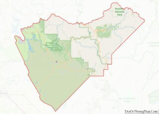
| County: | Mariposa County |
| Elevation: | 3,999 ft (1,219 m) |
| Total Area: | 1.076 sq mi (2.79 km²) |
| Land Area: | 1.076 sq mi (2.79 km²) |
| Water Area: | 0 sq mi (0 km²) 0% |
| Total Population: | 111 |
| Population Density: | 100/sq mi (40/km²) |
| ZIP code: | 95389 |
| Area code: | 209 |
| FIPS code: | 0683766 |
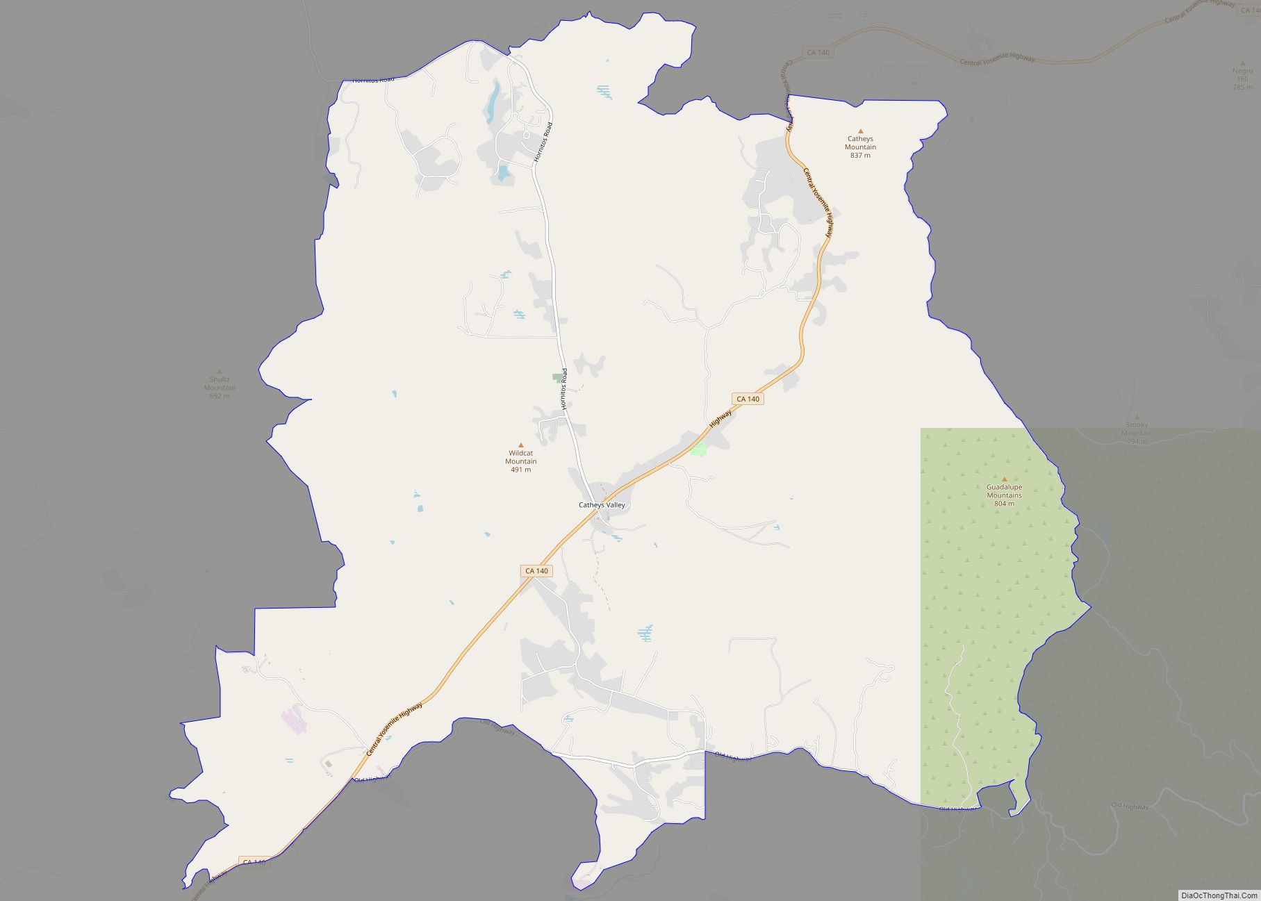
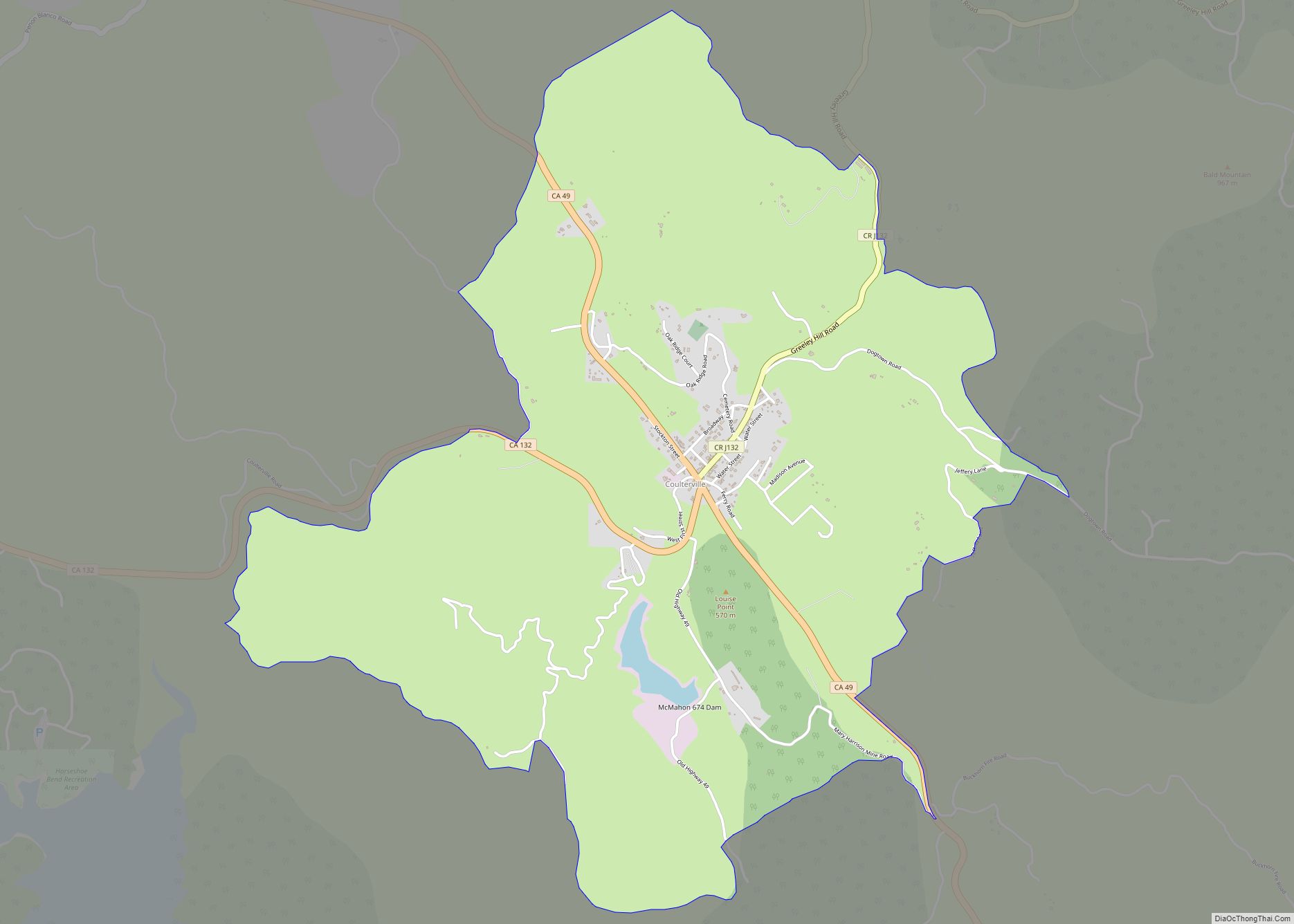
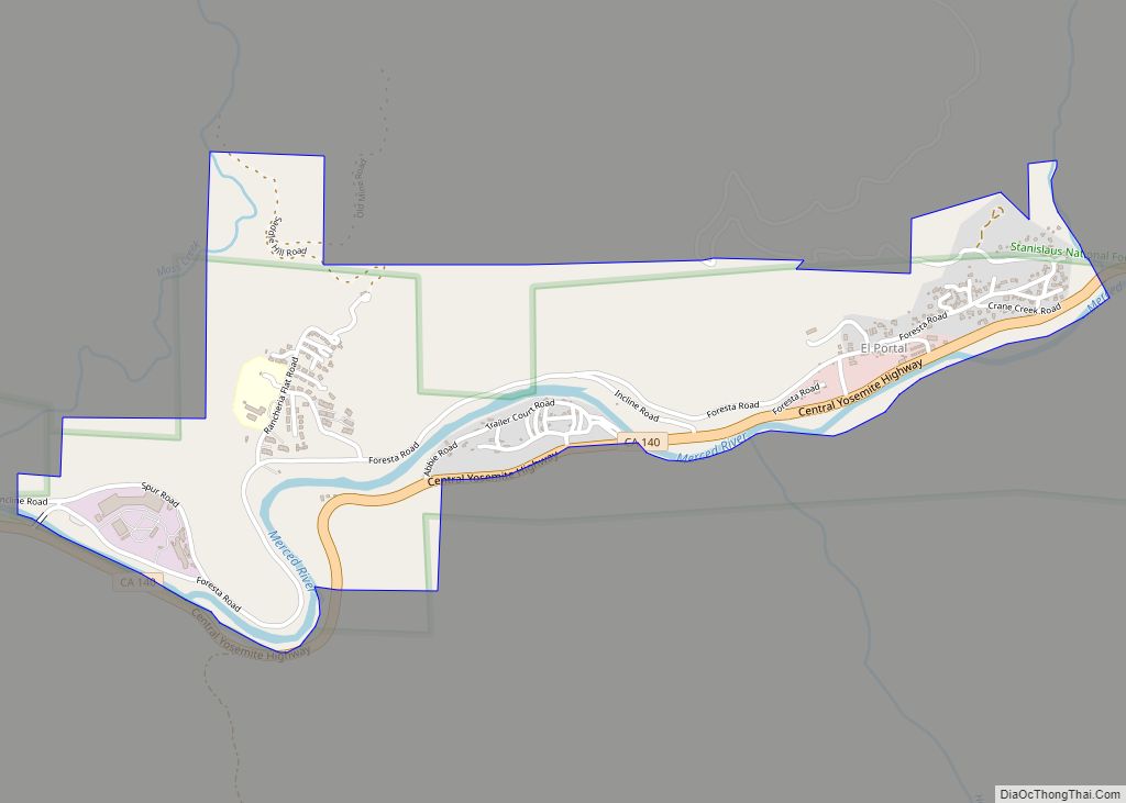
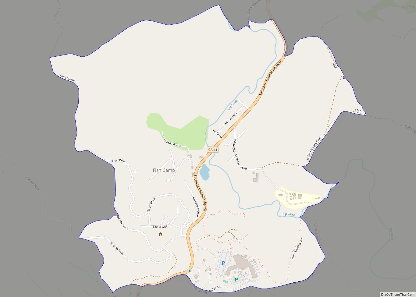
Online Interactive Map
Click on ![]() to view map in "full screen" mode.
to view map in "full screen" mode.
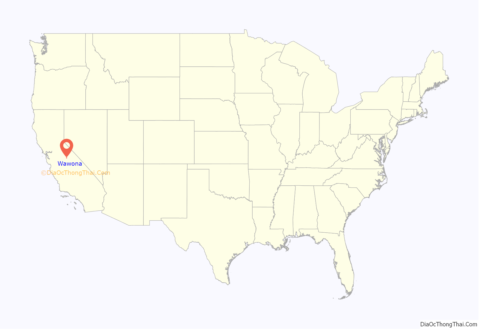
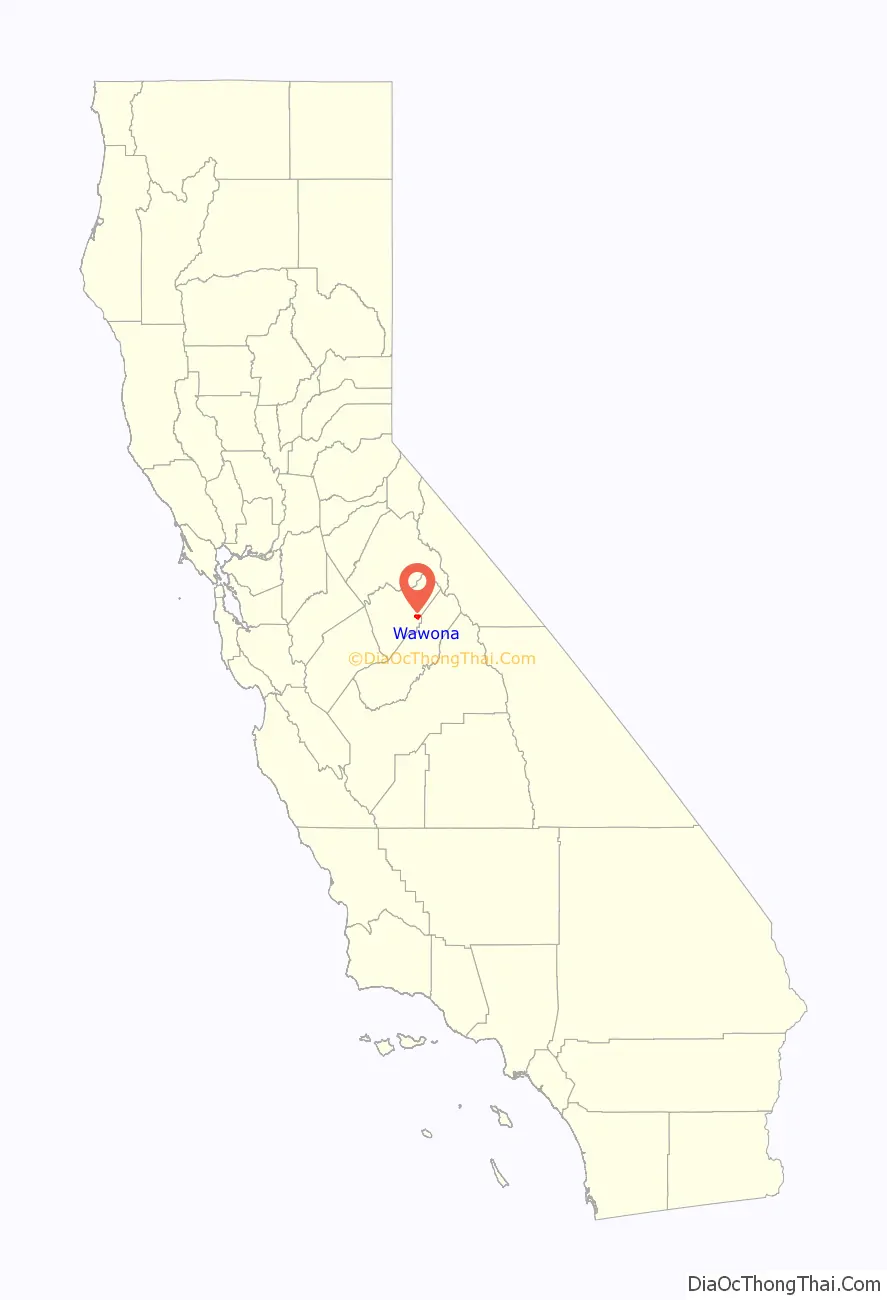
Wawona location map. Where is Wawona CDP?
History
It was known to the local Native American Miwok in their language as Pallachun (“a good place to stay”). The origin of the word Wawona is not known. A popular story claims Wawō’na was the Miwok word for “big tree”, or for “hoot of the owl”, a bird considered the sequoia trees’ spiritual guardian.
Galen Clark, who helped gain preservation legislation for Mariposa Grove and what became Yosemite National Park, occupied this area in 1855. He established a tourist rest and modest ranch in 1856. Clark sold the property to the Washburn brothers in 1874, who built a larger hotel in 1876, adding to it later. Hotel keeper Jean Bruce Washburn named the resort property Wawona in 1883.
Wawona is the location of the historic Wawona Hotel, built by Washburn in 1876, with additional structures added into the early 20th century. A classic Victorian resort, it was designated a National Historic Landmark in 1987.
The Clark’s Station US Post Office opened in 1878. In 1883 its name was changed to Wawona.
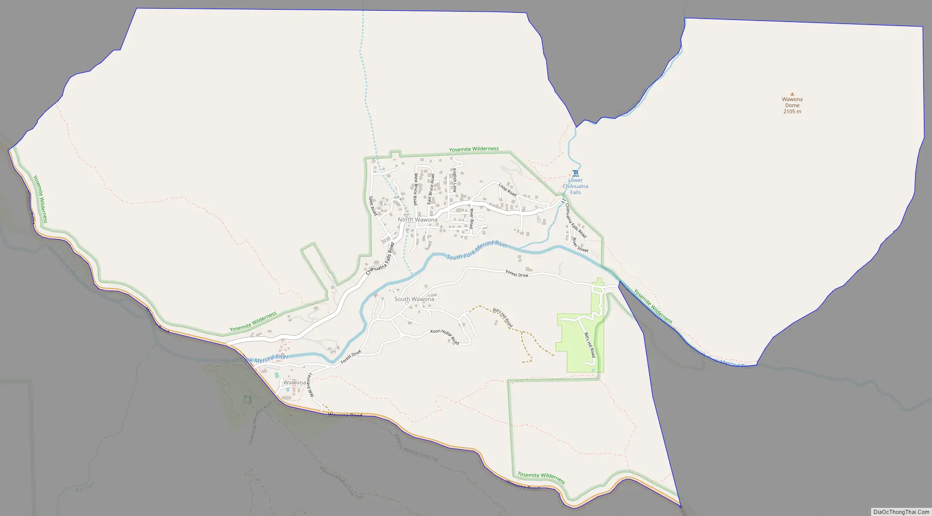
Wawona Road Map
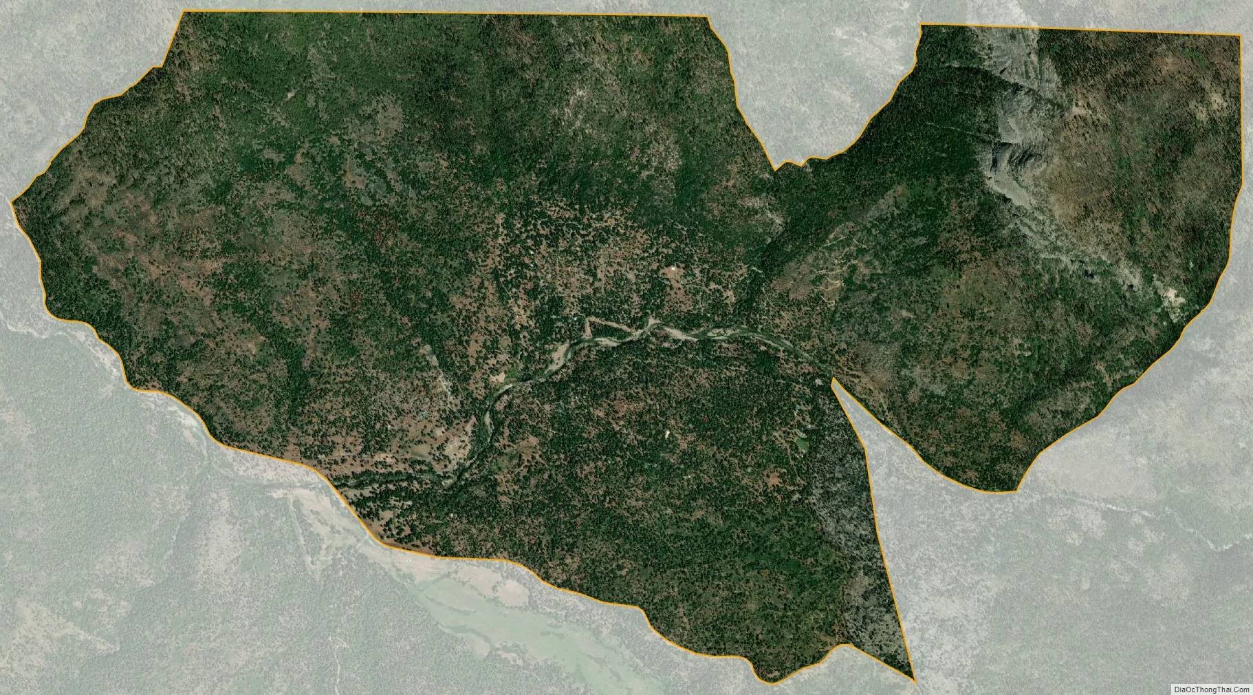
Wawona city Satellite Map
Geography
The town is located in the southwest part of Yosemite National Park on the South Fork of the Merced River, at an elevation of approximately 4,000 feet (1,200 m). It is on State Route 41, the main highway from Fresno to Yosemite Valley. It is the town nearest to Chilnualna Falls and the Mariposa Grove of Giant Sequoia. The principal trailheads into the southern Yosemite wilderness are located in Wawona.
According to the United States Census Bureau, the Wawona CDP covers an area of 1.08 square miles (2.8 km), all of it land.
See also
Map of California State and its subdivision:- Alameda
- Alpine
- Amador
- Butte
- Calaveras
- Colusa
- Contra Costa
- Del Norte
- El Dorado
- Fresno
- Glenn
- Humboldt
- Imperial
- Inyo
- Kern
- Kings
- Lake
- Lassen
- Los Angeles
- Madera
- Marin
- Mariposa
- Mendocino
- Merced
- Modoc
- Mono
- Monterey
- Napa
- Nevada
- Orange
- Placer
- Plumas
- Riverside
- Sacramento
- San Benito
- San Bernardino
- San Diego
- San Francisco
- San Joaquin
- San Luis Obispo
- San Mateo
- Santa Barbara
- Santa Clara
- Santa Cruz
- Shasta
- Sierra
- Siskiyou
- Solano
- Sonoma
- Stanislaus
- Sutter
- Tehama
- Trinity
- Tulare
- Tuolumne
- Ventura
- Yolo
- Yuba
- Alabama
- Alaska
- Arizona
- Arkansas
- California
- Colorado
- Connecticut
- Delaware
- District of Columbia
- Florida
- Georgia
- Hawaii
- Idaho
- Illinois
- Indiana
- Iowa
- Kansas
- Kentucky
- Louisiana
- Maine
- Maryland
- Massachusetts
- Michigan
- Minnesota
- Mississippi
- Missouri
- Montana
- Nebraska
- Nevada
- New Hampshire
- New Jersey
- New Mexico
- New York
- North Carolina
- North Dakota
- Ohio
- Oklahoma
- Oregon
- Pennsylvania
- Rhode Island
- South Carolina
- South Dakota
- Tennessee
- Texas
- Utah
- Vermont
- Virginia
- Washington
- West Virginia
- Wisconsin
- Wyoming