West Sacramento (also known as West Sac) is a city in Yolo County, California, United States. The city is separated from Sacramento by the Sacramento River, which also separates Sacramento and Yolo counties. It is a fast-growing community; the population was 48,744 at the 2010 census, up from 31,615 at the 2000 census. The traditional industrial center of the region since the Gold Rush era, West Sacramento is home to a diverse economy and is one of the area’s top four employment centers.
The United States Conference of Mayors named West Sacramento as the Most Livable City in America in 2014 in the category of cities with fewer than 100,000 residents.
West Sacramento is part of the Sacramento–Arden Arcade–Roseville Metropolitan Statistical Area which has a population (2000) of approximately 1,796,857 (July 1, 2016 estimate placed the population at 2,296,418). Major industries to the region include agriculture, government, and transportation.
| Name: | West Sacramento city |
|---|---|
| LSAD Code: | 25 |
| LSAD Description: | city (suffix) |
| State: | California |
| County: | Yolo County |
| Incorporated: | January 1, 1987 |
| Elevation: | 20 ft (6 m) |
| Total Area: | 22.80 sq mi (59.05 km²) |
| Land Area: | 21.47 sq mi (55.61 km²) |
| Water Area: | 1.33 sq mi (3.45 km²) 6.22% |
| Total Population: | 48,744 |
| Population Density: | 2,492.73/sq mi (962.46/km²) |
| ZIP code: | 95691, 95605 |
| Area code: | 916 and 279 |
| FIPS code: | 0684816 |
| Website: | www.cityofwestsacramento.org |
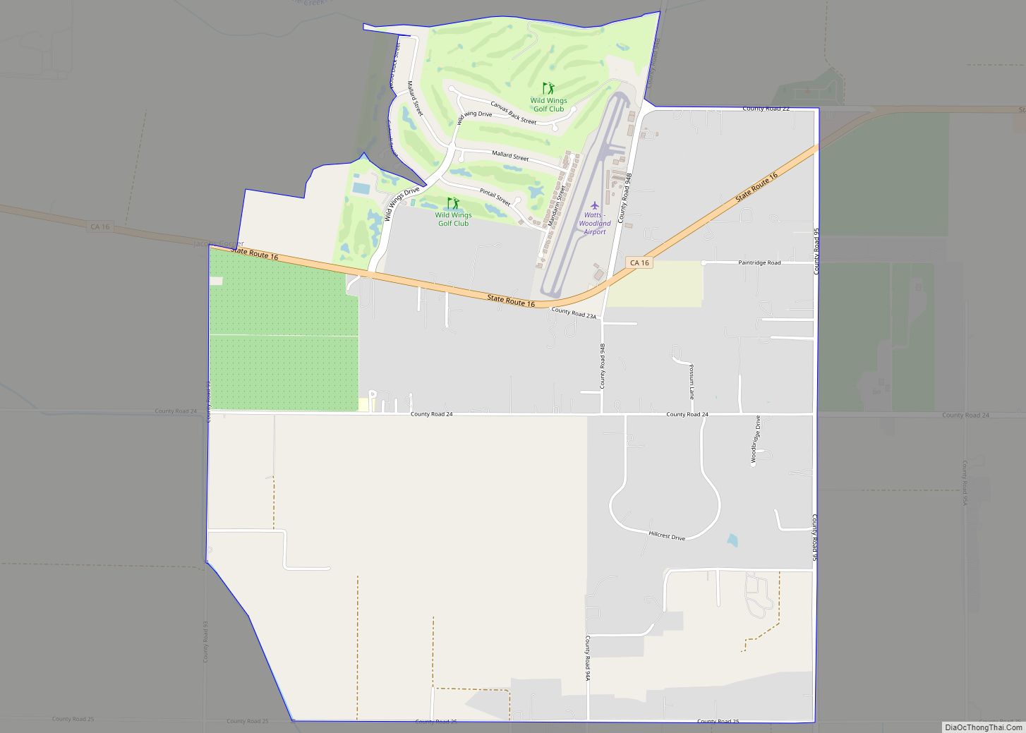
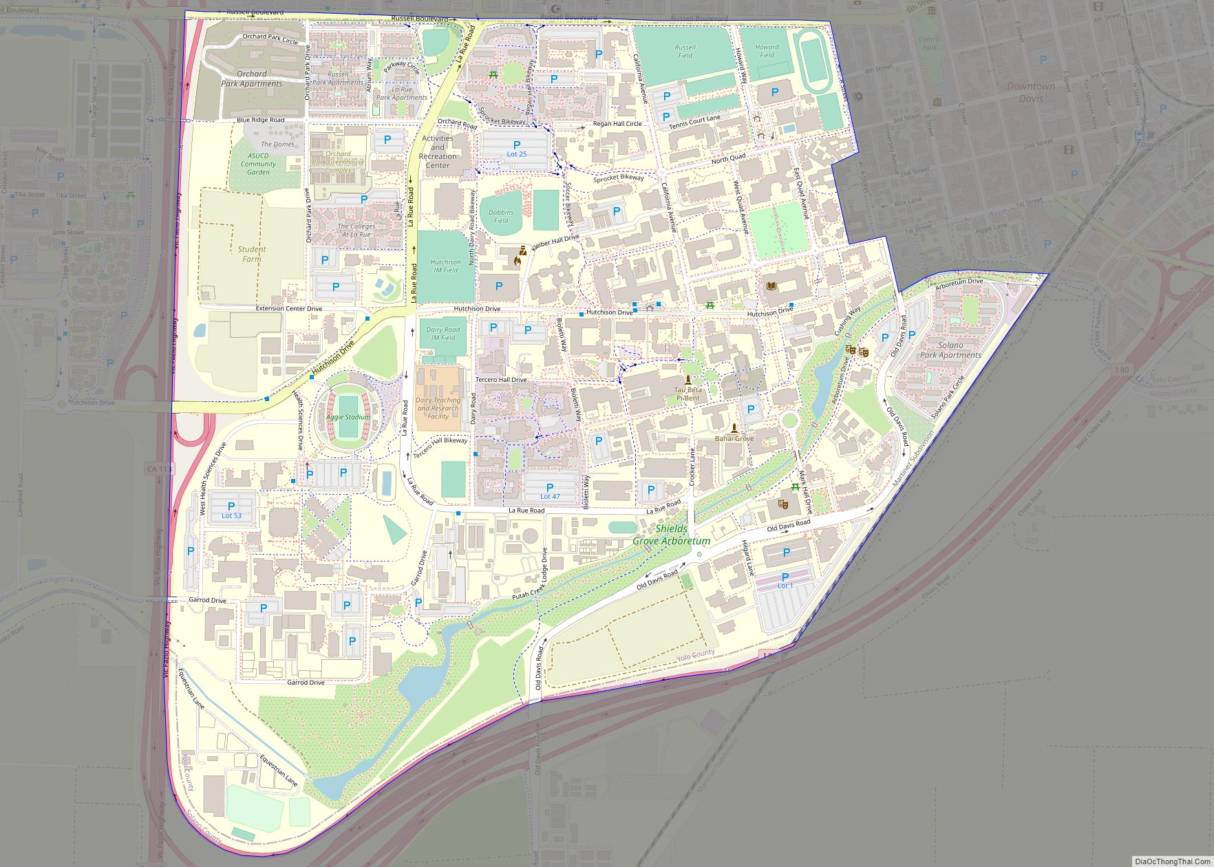
Online Interactive Map
Click on ![]() to view map in "full screen" mode.
to view map in "full screen" mode.
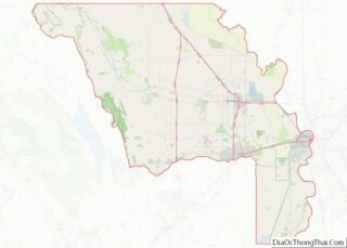
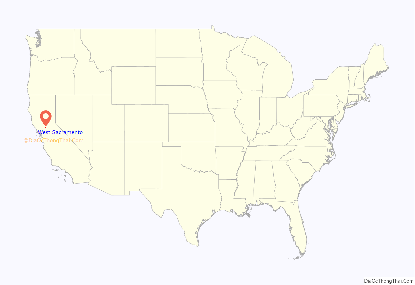
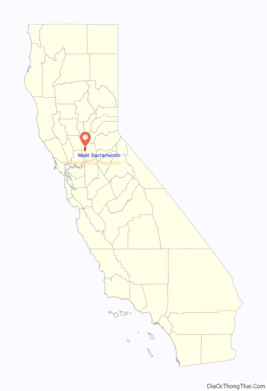
West Sacramento location map. Where is West Sacramento city?
History
Gold Rush era
In 1844, John Schwartz, a Flemish traveler, was the first Euro-American to permanently settle in the area of West Sacramento, which at that time was part of Mexico. He built a shack on the west bank of the Sacramento River six miles (10 km) south of its connection with the American River. John, with the help of his brother George, founded a salmon fishery along the river. In addition to the fishery, they also found the soil to be fertile and began farming and raising livestock. The announcement of the discovery of gold at Sutter’s Mill in 1848 brought a multitude of miners to the region. This also coincided with the end of the Mexican–American War.
In 1846, a man named James McDowell bought 600 acres (240 ha) from John Schwartz. With his wife, Margaret, and their three daughters, McDowell settled in the area we know today as Broderick. The McDowell family experienced first-hand the violence that the gold rush era brought with it. In May 1849, James McDowell was shot and killed in a barroom argument that he had supposedly started. With the loss of the sole supporter of the McDowell family, Margaret needed to find a way to provide for her family.
In October 1849, Margaret hired a land surveyor to map out 160 acres (65 ha), which was then divided into forty one blocks. She sold individual lots within this platted area which she named the “Town of Washington”. The first lot was sold to August W. Kaye for $500. During its first ten years, the rural Town of Washington went through a significant increase in business development and shipping activity. One of the first businesses to be established in the town was the California Steam Navigation Company, which was attracted to the area in 1859 by how close the Sacramento River is to it. Other businesses in early Washington included hotels, saloons, and restaurants catering to the needs of people passing through. Many of the travelers making the treacherous journey through the marshlands on their way to Sacramento were appreciative of the rest stop at the Town of Washington.
While Sacramento began to urbanize on the other side of the river, early West Sacramento found its hand at agricultural development. Salmon, sturgeon, catfish, eel, crayfish, and clams proved to be lucrative in this region as fisherman soon found. The river settlement was flourishing, stocking fish markets not only in Sacramento, but in San Francisco as well. In addition, the rich soil of the valley produced abundant crops of corn, melons, cucumbers, and sweet potatoes. The dairy industry also established roots in West Sacramento around this time.
One of the area’s most well known dairy farmers was Mike Bryte. Bryte came to California in 1849 to try his hand at gold mining. He didn’t make a fortune in gold, but was able to purchase a dairy farm with his findings. When the California Steam Navigation Company came to Washington, Bryte used the steamships to carry his dairy products to various markets within the region. Profits from this allowed Bryte to expand his holdings. Bryte was able to own several thousand acres of land in the area to farm on, as well as raise his many livestock on. Mike Bryte’s influence in the community was marked by his election to the Yolo County Board of Supervisors and later as sheriff. During the 20th century, Mike Bryte’s property was divided and became known as the community of Bryte.
Developing a city
In time, the region began to develop. The Town of Washington was renamed Broderick in honor of U. S. Senator David C. Broderick. After 1900, the three communities known as Bryte, Broderick, and West Sacramento were cumulatively known as “East Yolo”.
From 1900 to 1920, the population of this area doubled from 1,398 to 2,638. The West Sacramento post office opened in 1915.
These communities officially incorporated as the City of West Sacramento in 1987.
Port of West Sacramento
In June 1963, the Port of Sacramento was opened to deep sea traffic with the completion of the Sacramento Deep Water Ship Channel. The project had been authorized by Congress in 1946 and construction commenced in 1949 on the west side of the river. It has since been renamed The Port of West Sacramento. The Port’s main imports include cement and exports include rice.
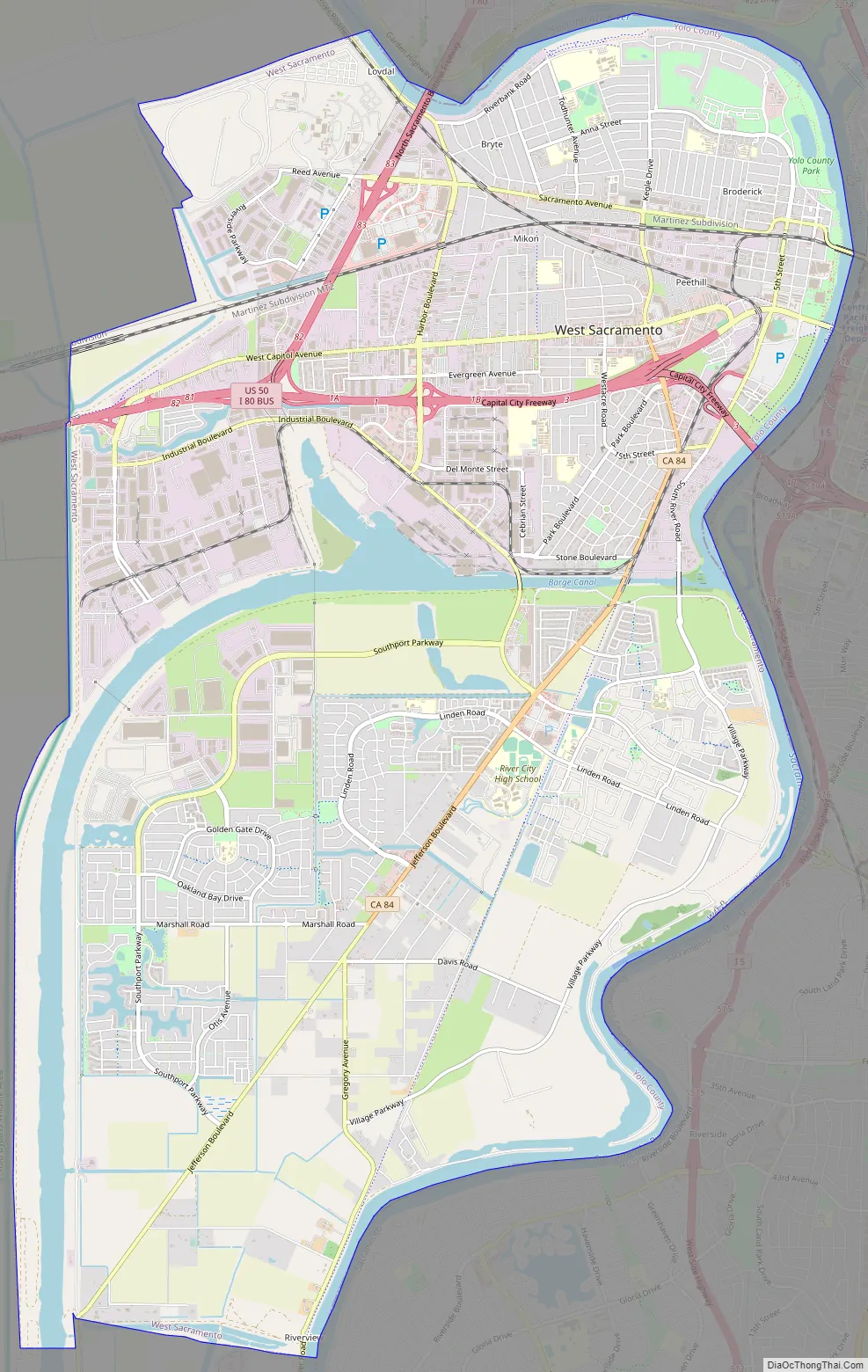
West Sacramento Road Map
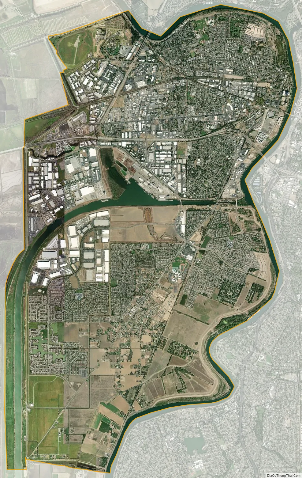
West Sacramento city Satellite Map
Geography
West Sacramento is located at 38°34′50″N 121°31′49″W / 38.58056°N 121.53028°W / 38.58056; -121.53028.
According to the United States Census Bureau, the city has a total area of 22.8 square miles (59 km), of which, 21.4 square miles (55 km) of it is land and 1.4 square miles (3.6 km) of it (6.22%) is water.
West Sacramento, which lies in Yolo County, is separated from the city of Sacramento and Sacramento County by the Sacramento River. West Sacramento, incorporated in 1987, consists of three communities that were originally distinct towns, Broderick, Bryte, and West Sacramento (originally just the community north of the port canal and south of the railroads), as well as the Southport area.
Southport, which comprises about half of the city’s land area, originally consisted of rural homesteads and small neighborhoods in Arlington Oaks and Linden, but now has a considerable population that resulted from housing booms in the early 1990s and the early 2000s, adding new neighborhoods in Bridgeway, Gateway, River Ranch, and Newport.
Climate
According to the Köppen Climate Classification system, West Sacramento has a hot-summer Mediterranean climate, abbreviated “Csa” on climate maps.
See also
Map of California State and its subdivision:- Alameda
- Alpine
- Amador
- Butte
- Calaveras
- Colusa
- Contra Costa
- Del Norte
- El Dorado
- Fresno
- Glenn
- Humboldt
- Imperial
- Inyo
- Kern
- Kings
- Lake
- Lassen
- Los Angeles
- Madera
- Marin
- Mariposa
- Mendocino
- Merced
- Modoc
- Mono
- Monterey
- Napa
- Nevada
- Orange
- Placer
- Plumas
- Riverside
- Sacramento
- San Benito
- San Bernardino
- San Diego
- San Francisco
- San Joaquin
- San Luis Obispo
- San Mateo
- Santa Barbara
- Santa Clara
- Santa Cruz
- Shasta
- Sierra
- Siskiyou
- Solano
- Sonoma
- Stanislaus
- Sutter
- Tehama
- Trinity
- Tulare
- Tuolumne
- Ventura
- Yolo
- Yuba
- Alabama
- Alaska
- Arizona
- Arkansas
- California
- Colorado
- Connecticut
- Delaware
- District of Columbia
- Florida
- Georgia
- Hawaii
- Idaho
- Illinois
- Indiana
- Iowa
- Kansas
- Kentucky
- Louisiana
- Maine
- Maryland
- Massachusetts
- Michigan
- Minnesota
- Mississippi
- Missouri
- Montana
- Nebraska
- Nevada
- New Hampshire
- New Jersey
- New Mexico
- New York
- North Carolina
- North Dakota
- Ohio
- Oklahoma
- Oregon
- Pennsylvania
- Rhode Island
- South Carolina
- South Dakota
- Tennessee
- Texas
- Utah
- Vermont
- Virginia
- Washington
- West Virginia
- Wisconsin
- Wyoming