Windsor is an incorporated town in Sonoma County, California, United States. The town is 9 miles north of Santa Rosa and 63 miles north of San Francisco. The population was 26,801 as of the 2010 census. Windsor was once home to a waterslide park known as Windsor Waterworks, or as the Doom Flume, from 1980 to 2006. Windsor also has a bowling center which sits right next to the site where the former Windsor Waterworks waterslide park sat until its 2006 closure.
| Name: | Windsor town |
|---|---|
| LSAD Code: | 43 |
| LSAD Description: | town (suffix) |
| State: | California |
| County: | Sonoma County |
| Incorporated: | July 1, 1992 |
| Elevation: | 118 ft (36 m) |
| Total Area: | 7.30 sq mi (18.91 km²) |
| Land Area: | 7.28 sq mi (18.85 km²) |
| Water Area: | 0.02 sq mi (0.06 km²) |
| Total Population: | 26,801 |
| Population Density: | 3,726.89/sq mi (1,438.98/km²) |
| ZIP code: | 95492 |
| Area code: | 707/369 |
| FIPS code: | 0685922 |
| GNISfeature ID: | 1667892 |
Online Interactive Map
Click on ![]() to view map in "full screen" mode.
to view map in "full screen" mode.
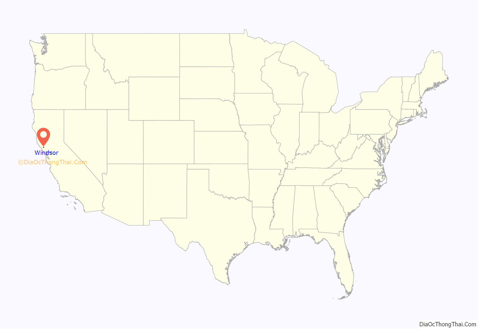
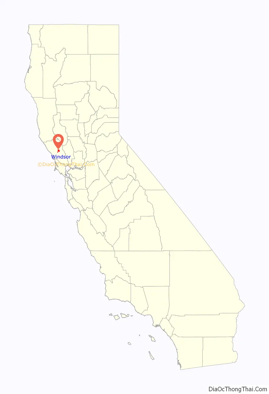
Windsor location map. Where is Windsor town?
History
Founding
The site now occupied by the town of Windsor was originally inhabited by the Southern Pomo. It was known as Tsoliikawai (ćol:ik:o=wi), meaning “blackbird field”, a name also applied to the village, tribe or tribelet at the site. This group was probably part of the Kaitactemi tribe that ruled from the Healdsburg area down to Mark West Creek.
Windsor’s first European settlers arrived in 1851. In 1855, a post office was established in Windsor and Hiram Lewis, a Pony Express rider, became the town’s first postmaster. He named the town Windsor because it reminded him of the grounds around Windsor Castle, a medieval castle from his home country of England. The following year, a business enterprise was built in eastern Windsor, which included a goods store, a shoe shop, a grocery and meat market, a saloon, a hotel, a boarding house, and two confectionery shops. The Northwestern Pacific Railroad was completed through the town in 1872, providing a faster and cheaper link to the Bay Area.
On May 21, 1905, a fire destroyed the center of Windsor. Fanned by heavy winds, the fire destroyed several businesses, including a hotel and a barber shop. The damage was at an estimated $30,000 worth of property.
The Great San Francisco Earthquake caused major damage to numerous buildings in Windsor, many of which were still in the process of repair and reconstruction from the major fire the previous year.
In 1915, the Old Redwood Highway through Windsor was paved. Up until then, all roads in the area had been dirt.
During World War II, a United States Army Air Forces training air base (currently the Charles M. Schulz – Sonoma County Airport) was built in southern Windsor, and it was common to hear fighter aircraft and bombers flying over the town.
In 1943, a camp for German prisoners of war was built west of downtown Windsor, on the site of a former migrant labor camp. The camp was a branch camp of the much larger Camp Beale POW camp. Those assigned to the camp worked (for $0.80 per day) at farms in the county, picking apples, prunes, hops, and other crops, packing apples, and doing similar work.
Incorporation and modern history
On July 1, 1992, Windsor was incorporated as a town. Prior to that, it had been part of unincorporated Sonoma County. Windsor’s economic growth and population boomed in the 1980s, when housing development rapidly grew during this decade. Prior to that, Windsor’s economy was predominately based on agricultural work, mainly involving wine grapes.
In 1996, Windsor adopted its current General Plan. Since that time the Town has grown and changed. When the last General Plan was adopted, the internet was not widely used and the youngest members of today’s workforce had not been born yet. New laws have passed that affect general plans and new planning strategies have been developed. These changes require a reevaluation of the existing General Plan and confirmation of the vision for Windsor. The 2040 General Plan project is currently underway and the General Plan will look ahead to the year 2040, so the update will not only bring policies and programs up to date, but also position Windsor for the next 25 years.
In January 1998, Windsor voters approved a twenty-year urban growth boundary, with 72% in favor. The boundary will be voted on again in November 2017.
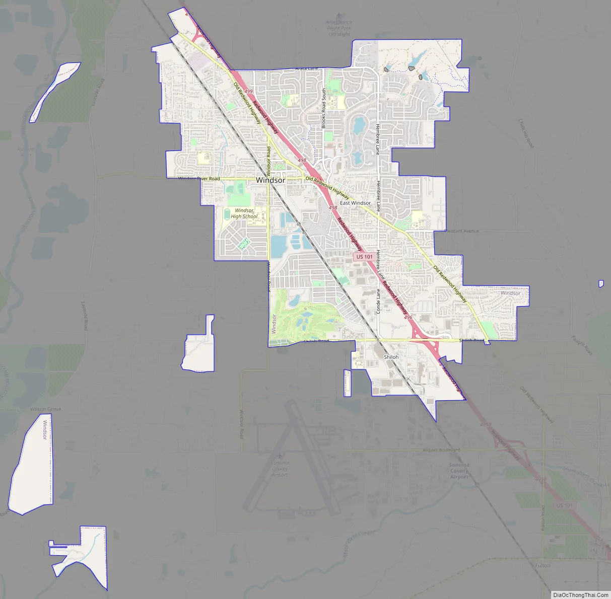
Windsor Road Map
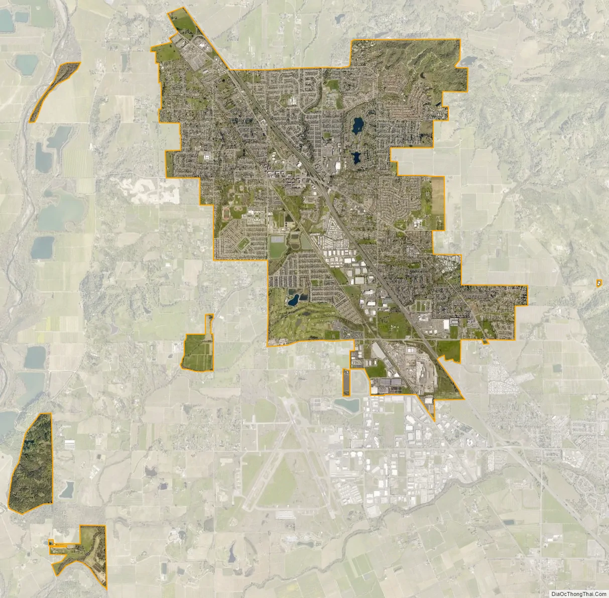
Windsor city Satellite Map
Geography
According to the United States Census Bureau, the Town has a total area of 7.3 square miles (19 km2), 99.66% of it land and 0.34% of it water. Windsor is 2 miles (3.2 km) from the Russian River.
Windsor is located on U.S. Highway Route 101 in the Russian River valley. Neighboring cities include Healdsburg, Santa Rosa, and Forestville.
See also
Map of California State and its subdivision:- Alameda
- Alpine
- Amador
- Butte
- Calaveras
- Colusa
- Contra Costa
- Del Norte
- El Dorado
- Fresno
- Glenn
- Humboldt
- Imperial
- Inyo
- Kern
- Kings
- Lake
- Lassen
- Los Angeles
- Madera
- Marin
- Mariposa
- Mendocino
- Merced
- Modoc
- Mono
- Monterey
- Napa
- Nevada
- Orange
- Placer
- Plumas
- Riverside
- Sacramento
- San Benito
- San Bernardino
- San Diego
- San Francisco
- San Joaquin
- San Luis Obispo
- San Mateo
- Santa Barbara
- Santa Clara
- Santa Cruz
- Shasta
- Sierra
- Siskiyou
- Solano
- Sonoma
- Stanislaus
- Sutter
- Tehama
- Trinity
- Tulare
- Tuolumne
- Ventura
- Yolo
- Yuba
- Alabama
- Alaska
- Arizona
- Arkansas
- California
- Colorado
- Connecticut
- Delaware
- District of Columbia
- Florida
- Georgia
- Hawaii
- Idaho
- Illinois
- Indiana
- Iowa
- Kansas
- Kentucky
- Louisiana
- Maine
- Maryland
- Massachusetts
- Michigan
- Minnesota
- Mississippi
- Missouri
- Montana
- Nebraska
- Nevada
- New Hampshire
- New Jersey
- New Mexico
- New York
- North Carolina
- North Dakota
- Ohio
- Oklahoma
- Oregon
- Pennsylvania
- Rhode Island
- South Carolina
- South Dakota
- Tennessee
- Texas
- Utah
- Vermont
- Virginia
- Washington
- West Virginia
- Wisconsin
- Wyoming


