Yankee Hill (formerly, Rich Gulch and Spanishtown) is an unincorporated community and census-designated place in Butte County, California. It is located 6.5 miles (10.5 km) east-southeast of Paradise, at an elevation of 1982 feet (604 m). The population was 333 at the 2010 census.
| Name: | Yankee Hill CDP |
|---|---|
| LSAD Code: | 57 |
| LSAD Description: | CDP (suffix) |
| State: | California |
| County: | Butte County |
| Elevation: | 1,982 ft (604 m) |
| Total Area: | 6.063 sq mi (15.703 km²) |
| Land Area: | 6.061 sq mi (15.698 km²) |
| Water Area: | 0.002 sq mi (0.005 km²) 0.03% |
| Total Population: | 333 |
| Population Density: | 55/sq mi (21/km²) |
| FIPS code: | 0686678 |
Online Interactive Map
Click on ![]() to view map in "full screen" mode.
to view map in "full screen" mode.
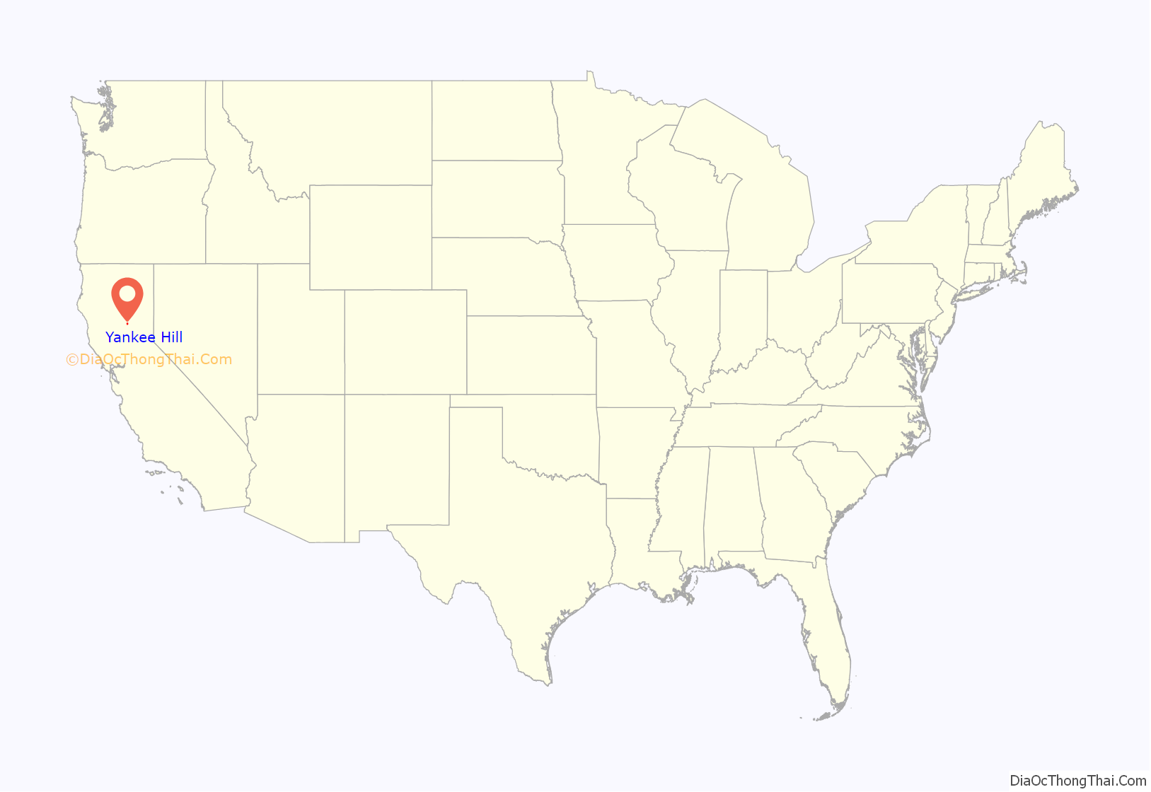
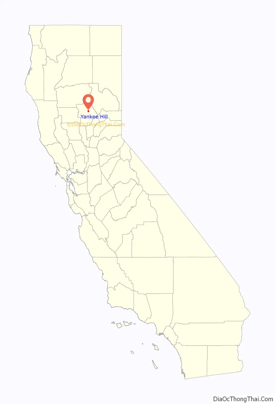
Yankee Hill location map. Where is Yankee Hill CDP?
History
Rich Gulch was settled in 1850. When Chilean and Spanish miners arrived in the 1850s, the place was renamed to Spanishtown. New Englanders settled later, applying the current name. A post office operated at Yankee Hill from 1858 to 1951. A modern-day post office is still in operation at the Pines Hardware Store, 11300A Miller Flat Rd. in Yankee Hill.
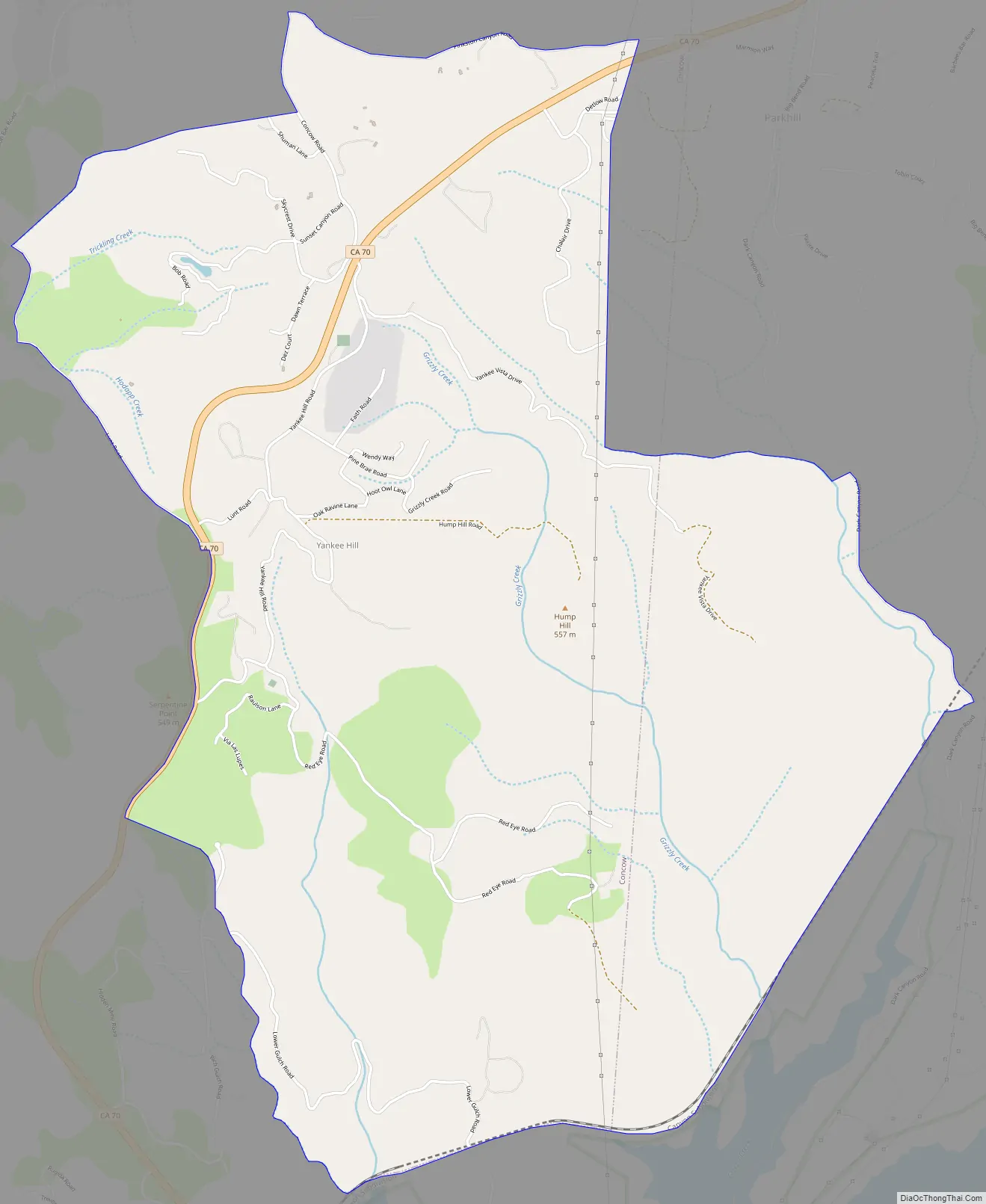
Yankee Hill Road Map
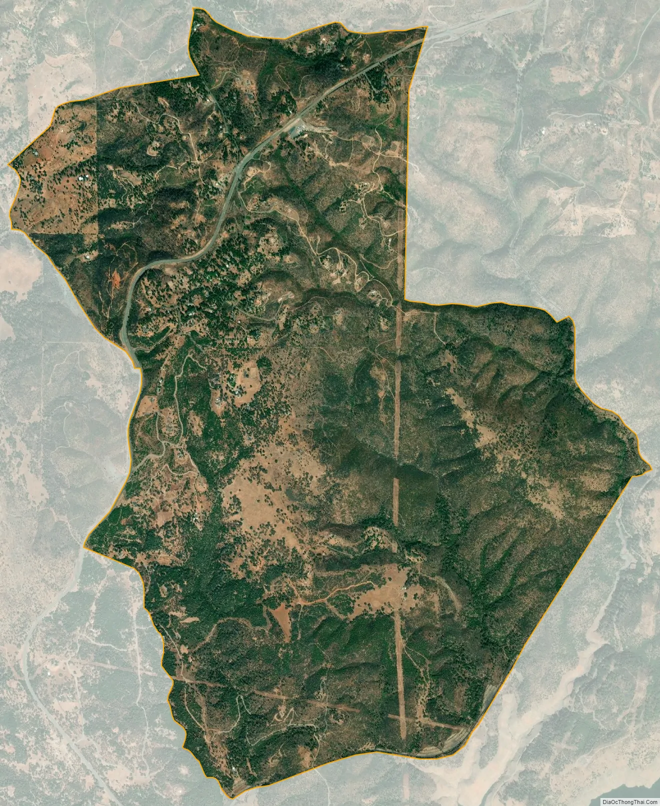
Yankee Hill city Satellite Map
See also
Map of California State and its subdivision:- Alameda
- Alpine
- Amador
- Butte
- Calaveras
- Colusa
- Contra Costa
- Del Norte
- El Dorado
- Fresno
- Glenn
- Humboldt
- Imperial
- Inyo
- Kern
- Kings
- Lake
- Lassen
- Los Angeles
- Madera
- Marin
- Mariposa
- Mendocino
- Merced
- Modoc
- Mono
- Monterey
- Napa
- Nevada
- Orange
- Placer
- Plumas
- Riverside
- Sacramento
- San Benito
- San Bernardino
- San Diego
- San Francisco
- San Joaquin
- San Luis Obispo
- San Mateo
- Santa Barbara
- Santa Clara
- Santa Cruz
- Shasta
- Sierra
- Siskiyou
- Solano
- Sonoma
- Stanislaus
- Sutter
- Tehama
- Trinity
- Tulare
- Tuolumne
- Ventura
- Yolo
- Yuba
- Alabama
- Alaska
- Arizona
- Arkansas
- California
- Colorado
- Connecticut
- Delaware
- District of Columbia
- Florida
- Georgia
- Hawaii
- Idaho
- Illinois
- Indiana
- Iowa
- Kansas
- Kentucky
- Louisiana
- Maine
- Maryland
- Massachusetts
- Michigan
- Minnesota
- Mississippi
- Missouri
- Montana
- Nebraska
- Nevada
- New Hampshire
- New Jersey
- New Mexico
- New York
- North Carolina
- North Dakota
- Ohio
- Oklahoma
- Oregon
- Pennsylvania
- Rhode Island
- South Carolina
- South Dakota
- Tennessee
- Texas
- Utah
- Vermont
- Virginia
- Washington
- West Virginia
- Wisconsin
- Wyoming


