Atwood is an unincorporated town, a post office, and a census-designated place (CDP) located in and governed by Logan County, Colorado, United States. The CDP is a part of the Sterling, CO Micropolitan Statistical Area. The Atwood post office has the ZIP Code 80722. At the United States Census 2020, the population of the Atwood CDP was 138.
| Name: | Atwood CDP |
|---|---|
| LSAD Code: | 57 |
| LSAD Description: | CDP (suffix) |
| State: | Colorado |
| County: | Logan County |
| Elevation: | 4,003 ft (1,220 m) |
| Total Area: | 1.034 sq mi (2.678 km²) |
| Land Area: | 1.034 sq mi (2.678 km²) |
| Water Area: | 0.000 sq mi (0.000 km²) |
| Total Population: | 138 |
| Population Density: | 130/sq mi (52/km²) |
| ZIP code: | 80722 |
| Area code: | 970 |
| FIPS code: | 0803840 |
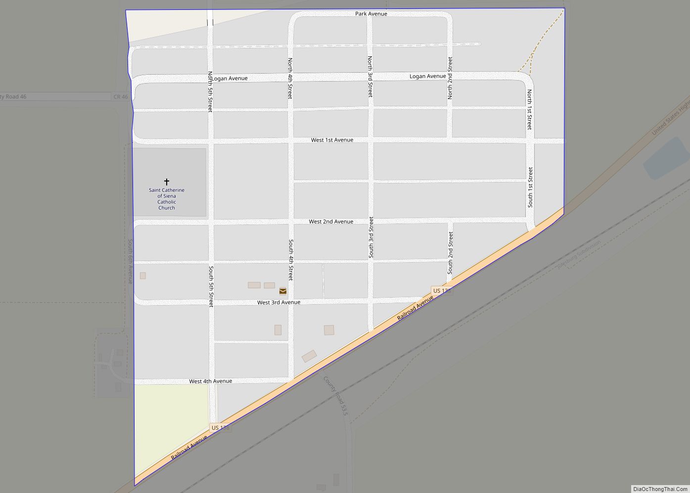
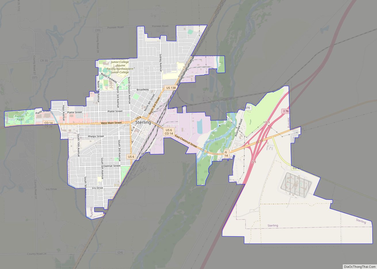
Online Interactive Map
Click on ![]() to view map in "full screen" mode.
to view map in "full screen" mode.
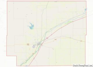
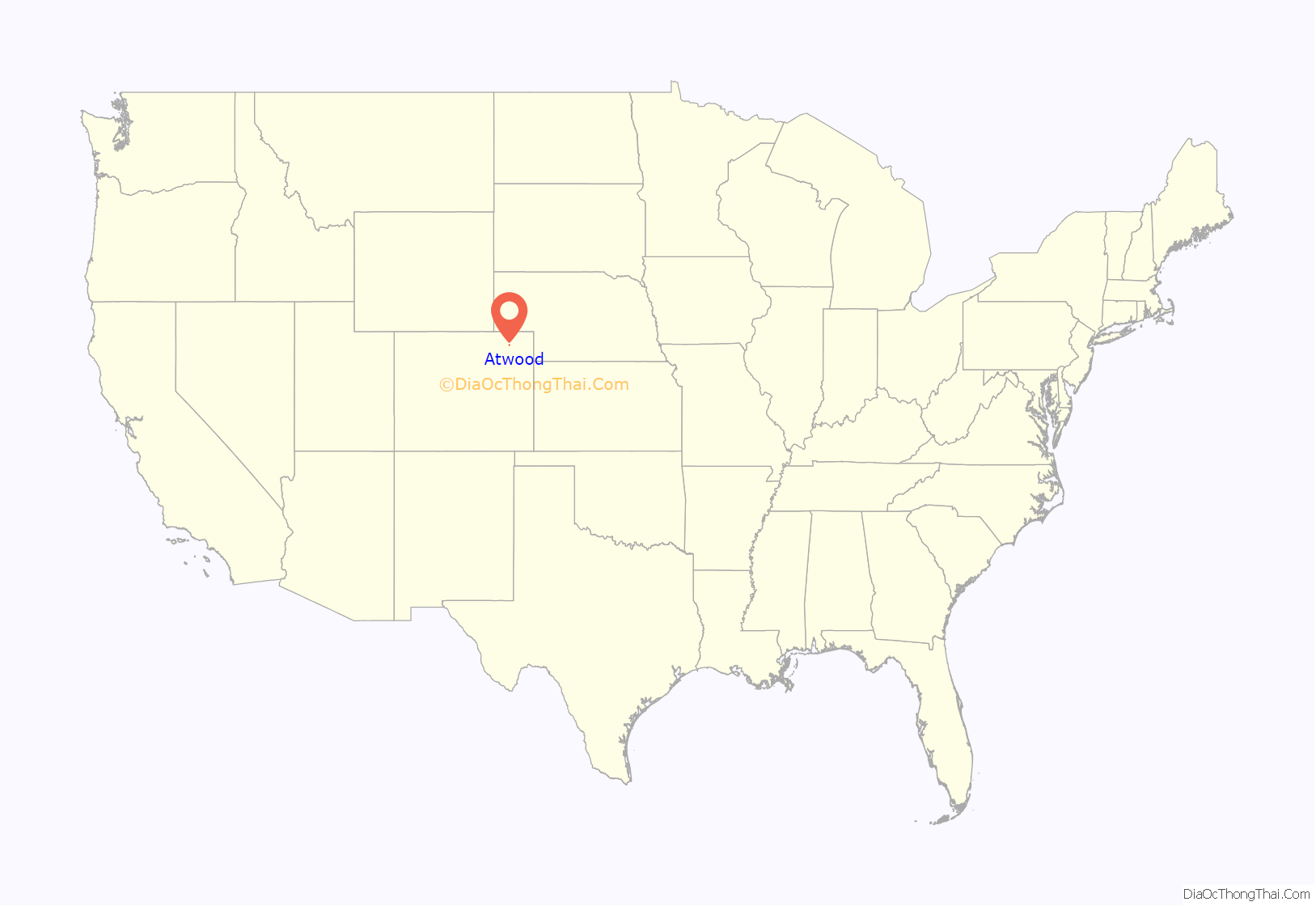
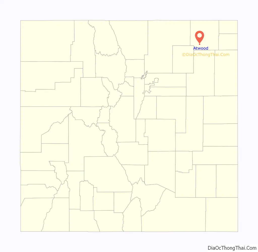
Atwood location map. Where is Atwood CDP?
History
The Atwood post office has been in operation since 1885. The community was named after John Atwood, a Unitarian minister.
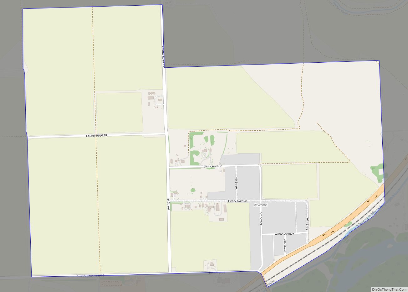
Atwood Road Map
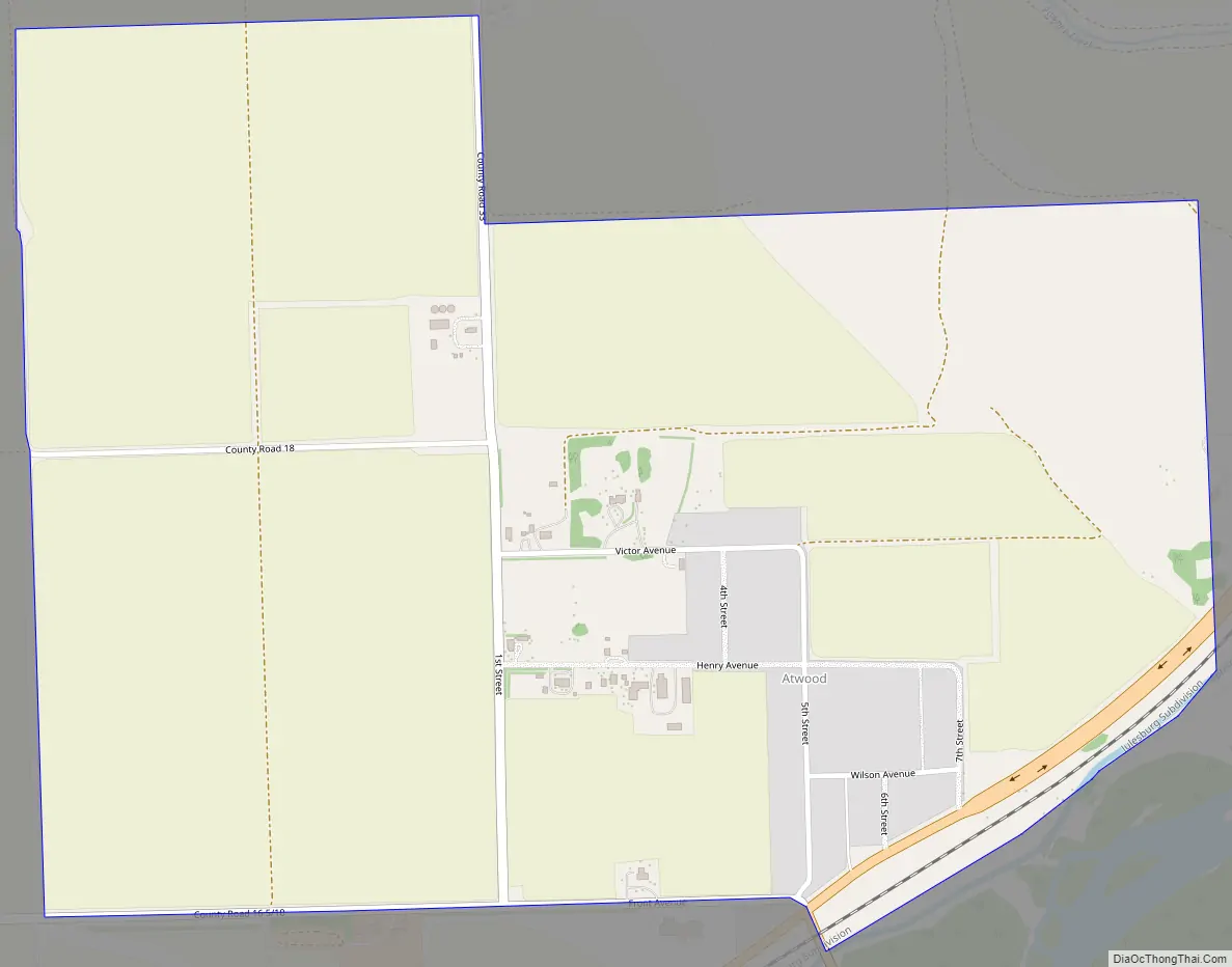
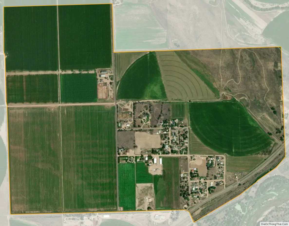
Atwood city Satellite Map
Geography
Atwood is located in southwestern Logan County. U.S. Route 6 passes through the community, leading northeast 7 miles (11 km) to Sterling, the county seat, and southwest 6 miles (10 km) to Merino. Colorado State Highway 63 leads south from Atwood 3 miles (5 km) to Exit 115 on Interstate 76 and 27 miles (43 km) to Akron.
The Atwood CDP has an area of 662 acres (2.678 km), all land.
Climate
This climate type occurs mostly on the outsides of the true deserts, in low-latitude semi-arid steppe regions. The Köppen Climate Classification subtype for this climate is “BSk”. (Tropical and Subtropical Steppe Climate).
See also
Map of Colorado State and its subdivision:- Adams
- Alamosa
- Arapahoe
- Archuleta
- Baca
- Bent
- Boulder
- Broomfield
- Chaffee
- Cheyenne
- Clear Creek
- Conejos
- Costilla
- Crowley
- Custer
- Delta
- Denver
- Dolores
- Douglas
- Eagle
- El Paso
- Elbert
- Fremont
- Garfield
- Gilpin
- Grand
- Gunnison
- Hinsdale
- Huerfano
- Jackson
- Jefferson
- Kiowa
- Kit Carson
- La Plata
- Lake
- Larimer
- Las Animas
- Lincoln
- Logan
- Mesa
- Mineral
- Moffat
- Montezuma
- Montrose
- Morgan
- Otero
- Ouray
- Park
- Phillips
- Pitkin
- Prowers
- Pueblo
- Rio Blanco
- Rio Grande
- Routt
- Saguache
- San Juan
- San Miguel
- Sedgwick
- Summit
- Teller
- Washington
- Weld
- Yuma
- Alabama
- Alaska
- Arizona
- Arkansas
- California
- Colorado
- Connecticut
- Delaware
- District of Columbia
- Florida
- Georgia
- Hawaii
- Idaho
- Illinois
- Indiana
- Iowa
- Kansas
- Kentucky
- Louisiana
- Maine
- Maryland
- Massachusetts
- Michigan
- Minnesota
- Mississippi
- Missouri
- Montana
- Nebraska
- Nevada
- New Hampshire
- New Jersey
- New Mexico
- New York
- North Carolina
- North Dakota
- Ohio
- Oklahoma
- Oregon
- Pennsylvania
- Rhode Island
- South Carolina
- South Dakota
- Tennessee
- Texas
- Utah
- Vermont
- Virginia
- Washington
- West Virginia
- Wisconsin
- Wyoming