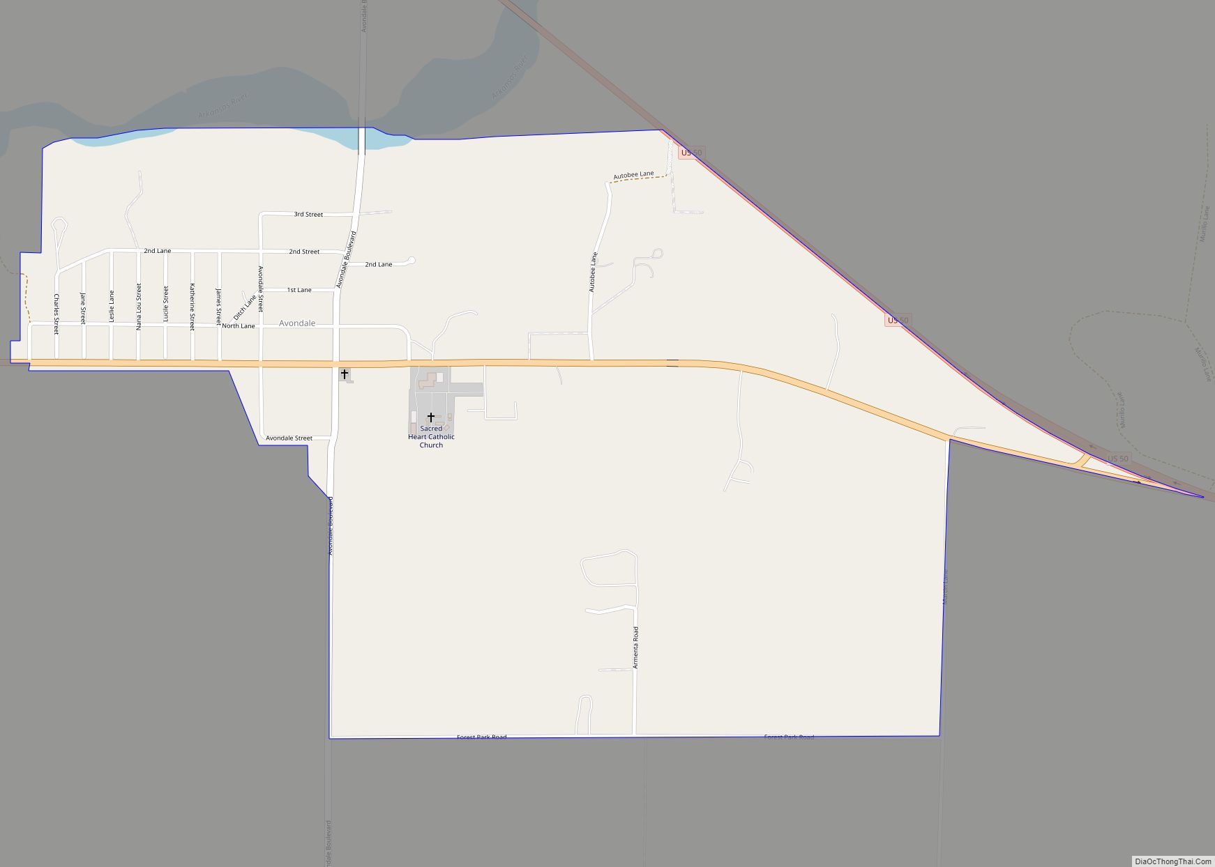
Avondale is a census-designated place (CDP) and post office in and governed by Pueblo County, Colorado, United States. The CDP is a part of the Pueblo, CO Metropolitan Statistical Area. The Avondale post office has the ZIP Code 81022. At the United States Census 2020, the population of the Avondale CDP was 594, while the population of the 81022 ZIP Code Tabulation Area was 1,624 including adjacent areas.
| Name: | Avondale CDP |
|---|---|
| LSAD Code: | 57 |
| LSAD Description: | CDP (suffix) |
| State: | Colorado |
| County: | Pueblo County |
| Elevation: | 4,544 ft (1,385 m) |
| Total Area: | 0.628 sq mi (1.627 km²) |
| Land Area: | 0.628 sq mi (1.627 km²) |
| Water Area: | 0.000 sq mi (0.000 km²) |
| Total Population: | 594 |
| Population Density: | 950/sq mi (370/km²) |
| ZIP code: | 81022 |
| Area code: | 719 |
| FIPS code: | 0804165 |
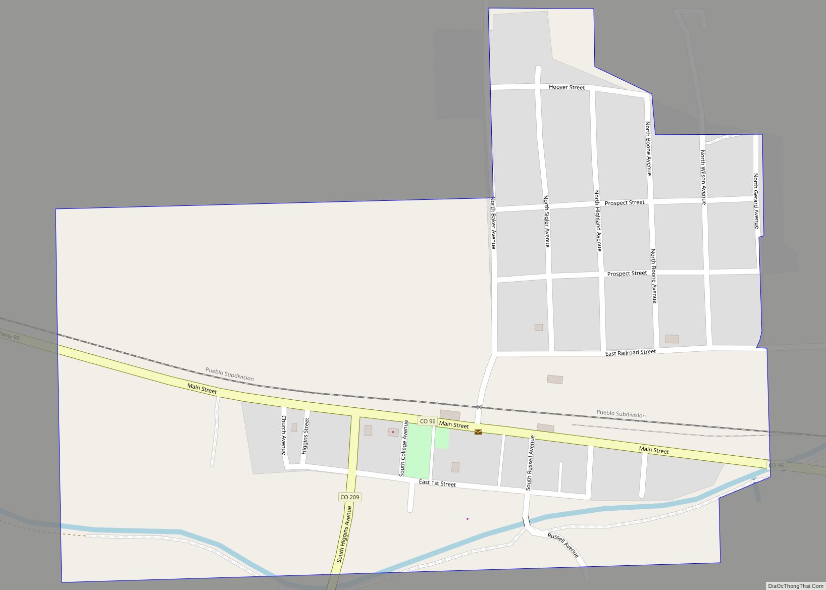
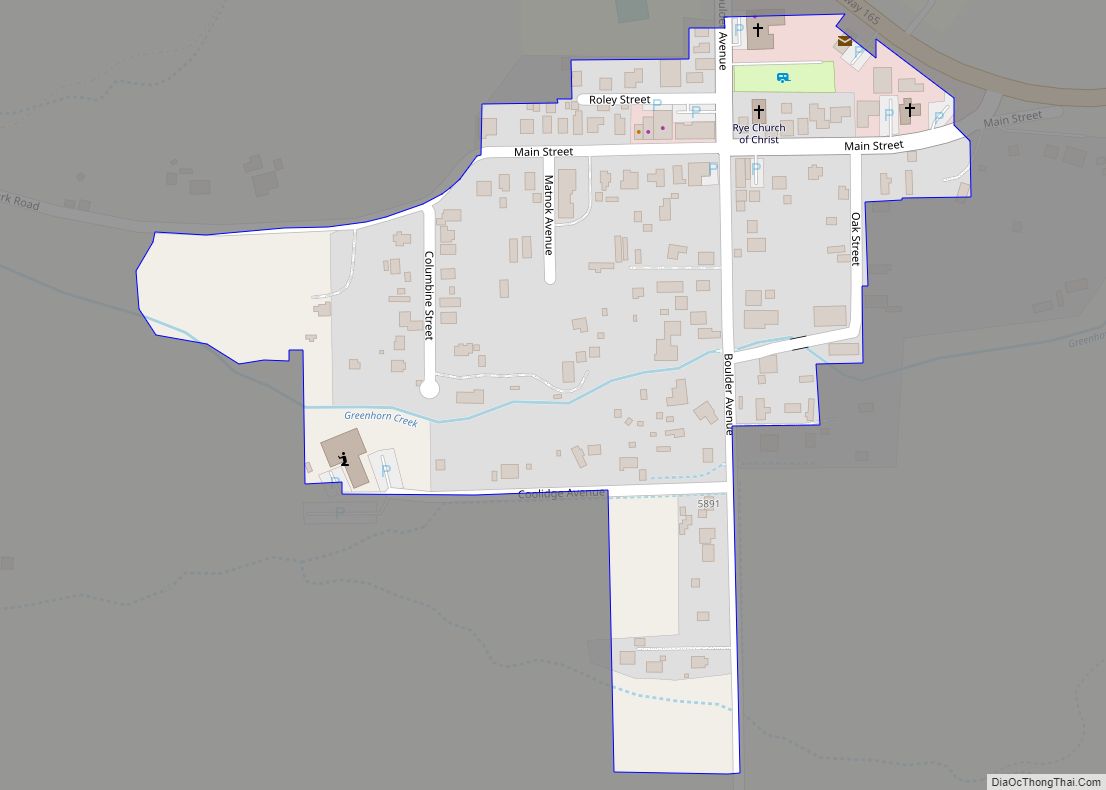
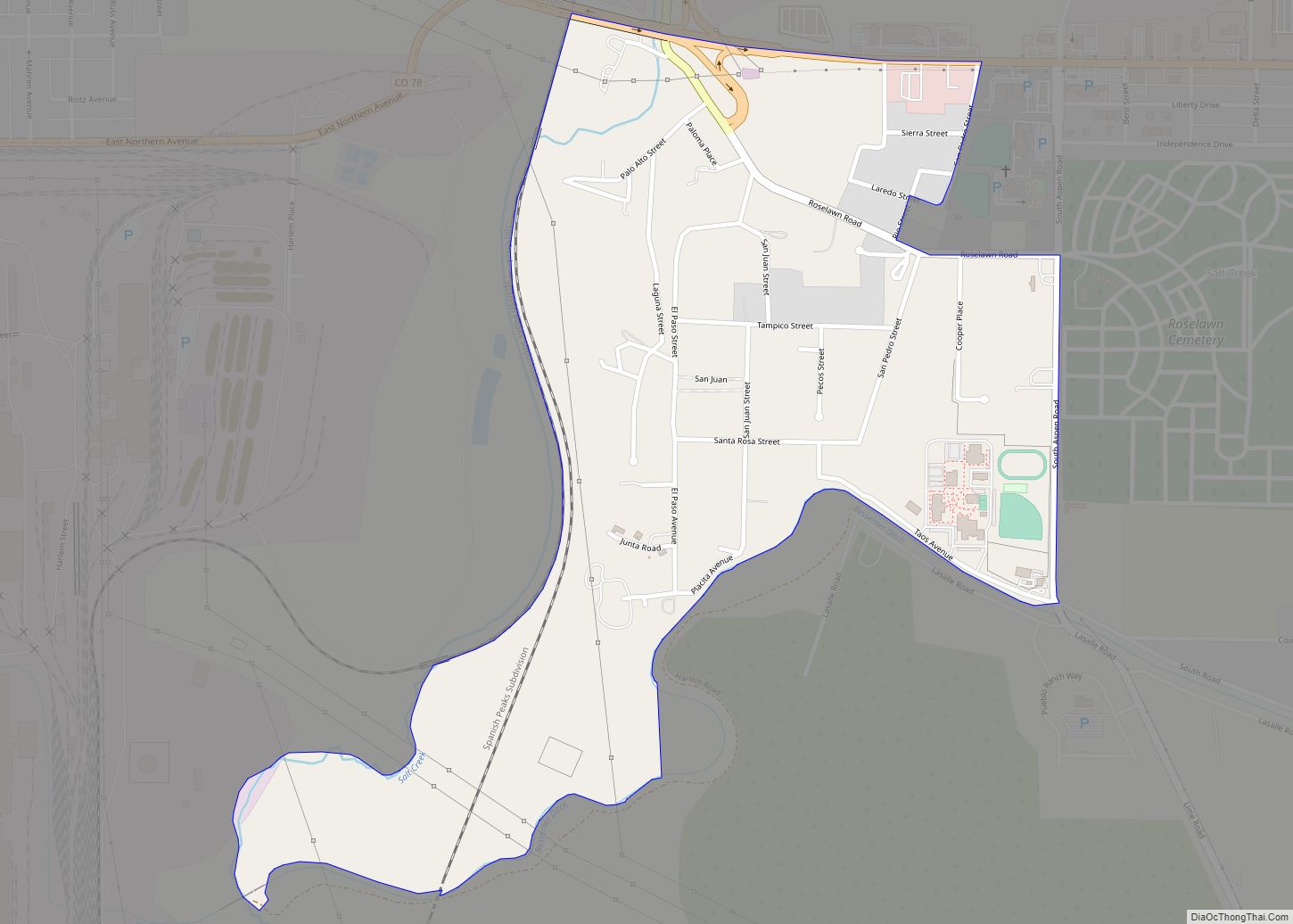
Online Interactive Map
Click on ![]() to view map in "full screen" mode.
to view map in "full screen" mode.
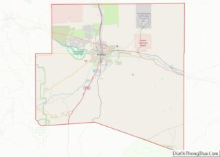
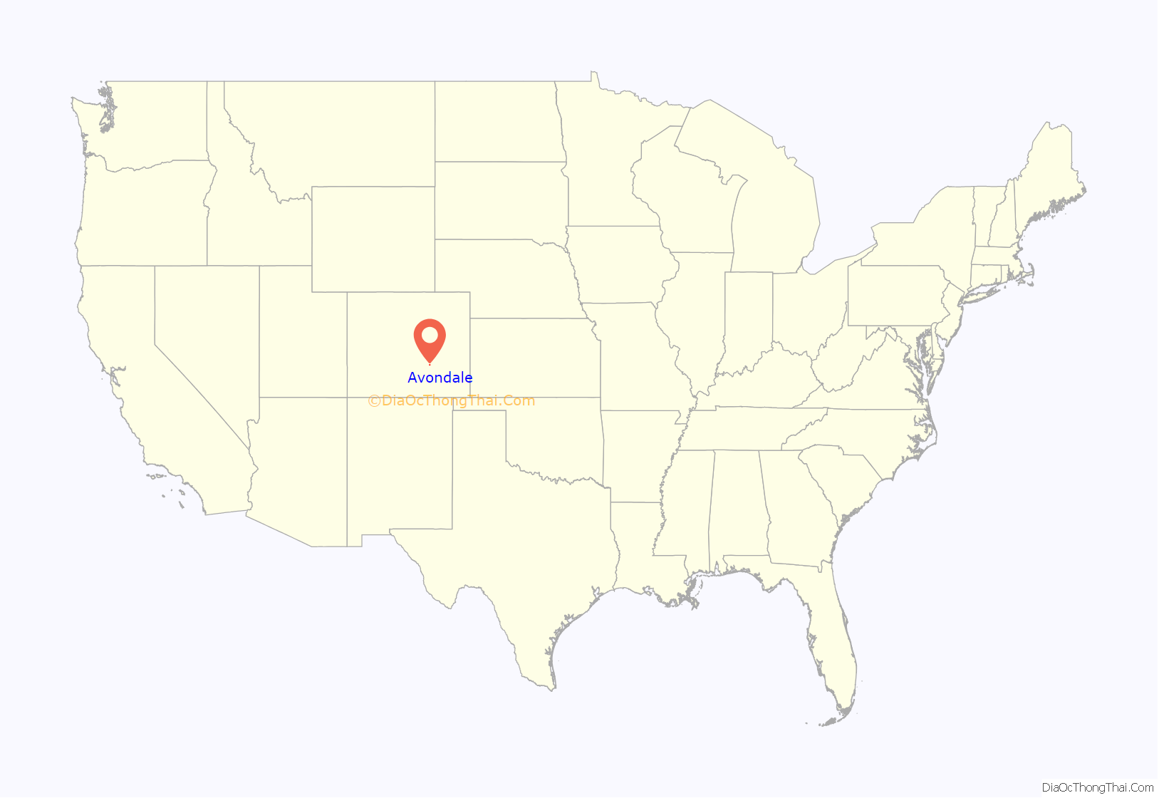
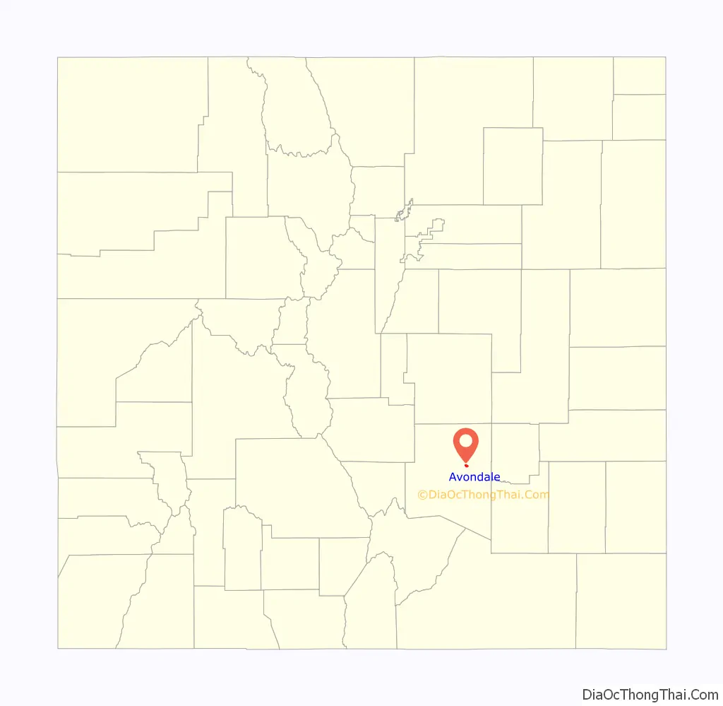
Avondale location map. Where is Avondale CDP?
History
The Avondale post office has been in operation since 1892. The name Avondale is derived from Stratford-upon-Avon.
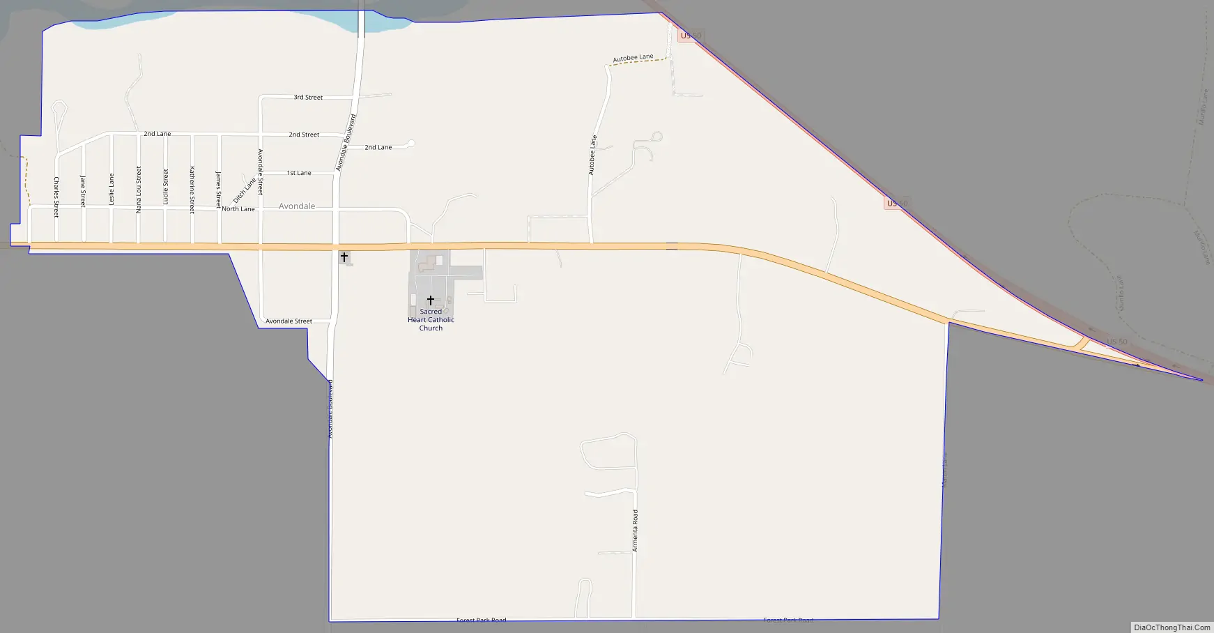
Avondale Road Map
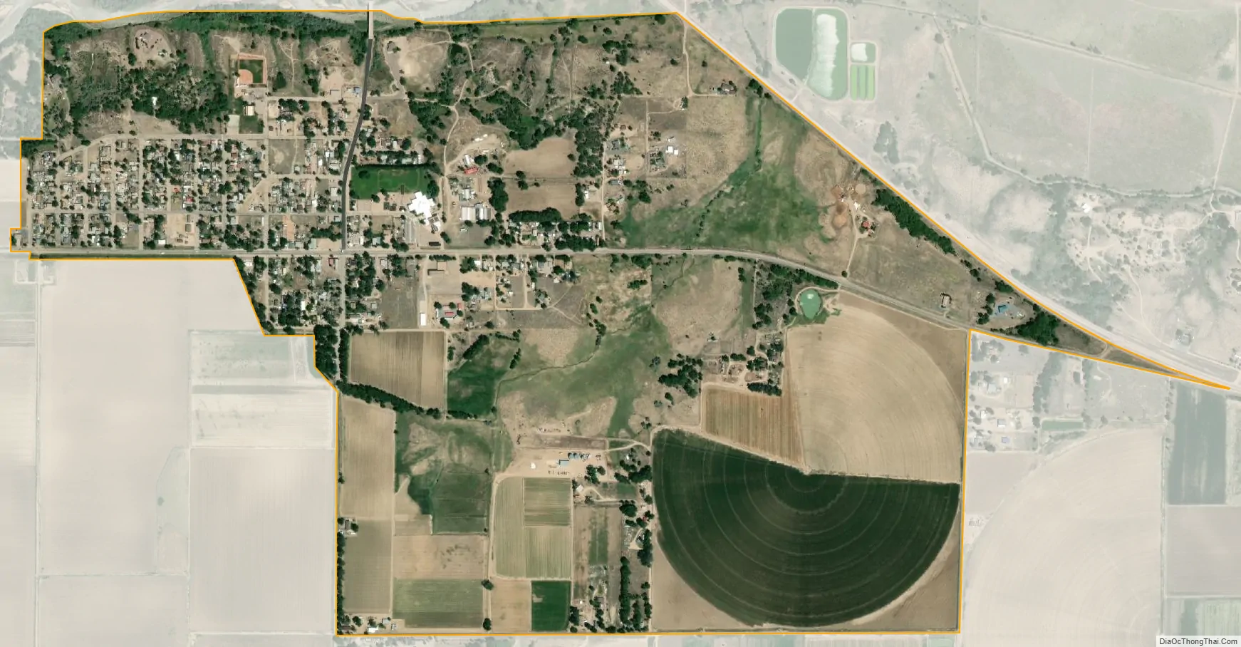
Avondale city Satellite Map
Geography
The Avondale CDP has an area of 402 acres (1.627 km), all land.
See also
Map of Colorado State and its subdivision:- Adams
- Alamosa
- Arapahoe
- Archuleta
- Baca
- Bent
- Boulder
- Broomfield
- Chaffee
- Cheyenne
- Clear Creek
- Conejos
- Costilla
- Crowley
- Custer
- Delta
- Denver
- Dolores
- Douglas
- Eagle
- El Paso
- Elbert
- Fremont
- Garfield
- Gilpin
- Grand
- Gunnison
- Hinsdale
- Huerfano
- Jackson
- Jefferson
- Kiowa
- Kit Carson
- La Plata
- Lake
- Larimer
- Las Animas
- Lincoln
- Logan
- Mesa
- Mineral
- Moffat
- Montezuma
- Montrose
- Morgan
- Otero
- Ouray
- Park
- Phillips
- Pitkin
- Prowers
- Pueblo
- Rio Blanco
- Rio Grande
- Routt
- Saguache
- San Juan
- San Miguel
- Sedgwick
- Summit
- Teller
- Washington
- Weld
- Yuma
- Alabama
- Alaska
- Arizona
- Arkansas
- California
- Colorado
- Connecticut
- Delaware
- District of Columbia
- Florida
- Georgia
- Hawaii
- Idaho
- Illinois
- Indiana
- Iowa
- Kansas
- Kentucky
- Louisiana
- Maine
- Maryland
- Massachusetts
- Michigan
- Minnesota
- Mississippi
- Missouri
- Montana
- Nebraska
- Nevada
- New Hampshire
- New Jersey
- New Mexico
- New York
- North Carolina
- North Dakota
- Ohio
- Oklahoma
- Oregon
- Pennsylvania
- Rhode Island
- South Carolina
- South Dakota
- Tennessee
- Texas
- Utah
- Vermont
- Virginia
- Washington
- West Virginia
- Wisconsin
- Wyoming