Bark Ranch is an unincorporated community and a census-designated place (CDP) located in and governed by Boulder County, Colorado, United States. The Bark Ranch CDP encompasses the Bar-K Ranch housing community. The CDP is a part of the Boulder, CO Metropolitan Statistical Area. The population of the Bark Ranch CDP was 202 at the United States Census 2020. The Ward post office (Zip Code 80481) serves the area.
| Name: | Bark Ranch CDP |
|---|---|
| LSAD Code: | 57 |
| LSAD Description: | CDP (suffix) |
| State: | Colorado |
| County: | Boulder County |
| Elevation: | 8,586 ft (2,617 m) |
| Total Area: | 0.871 sq mi (2.257 km²) |
| Land Area: | 0.862 sq mi (2.232 km²) |
| Water Area: | 0.010 sq mi (0.025 km²) |
| Total Population: | 202 |
| Population Density: | 230/sq mi (89/km²) |
| ZIP code: | Ward 80481 |
| FIPS code: | 0804620 |
Online Interactive Map
Click on ![]() to view map in "full screen" mode.
to view map in "full screen" mode.
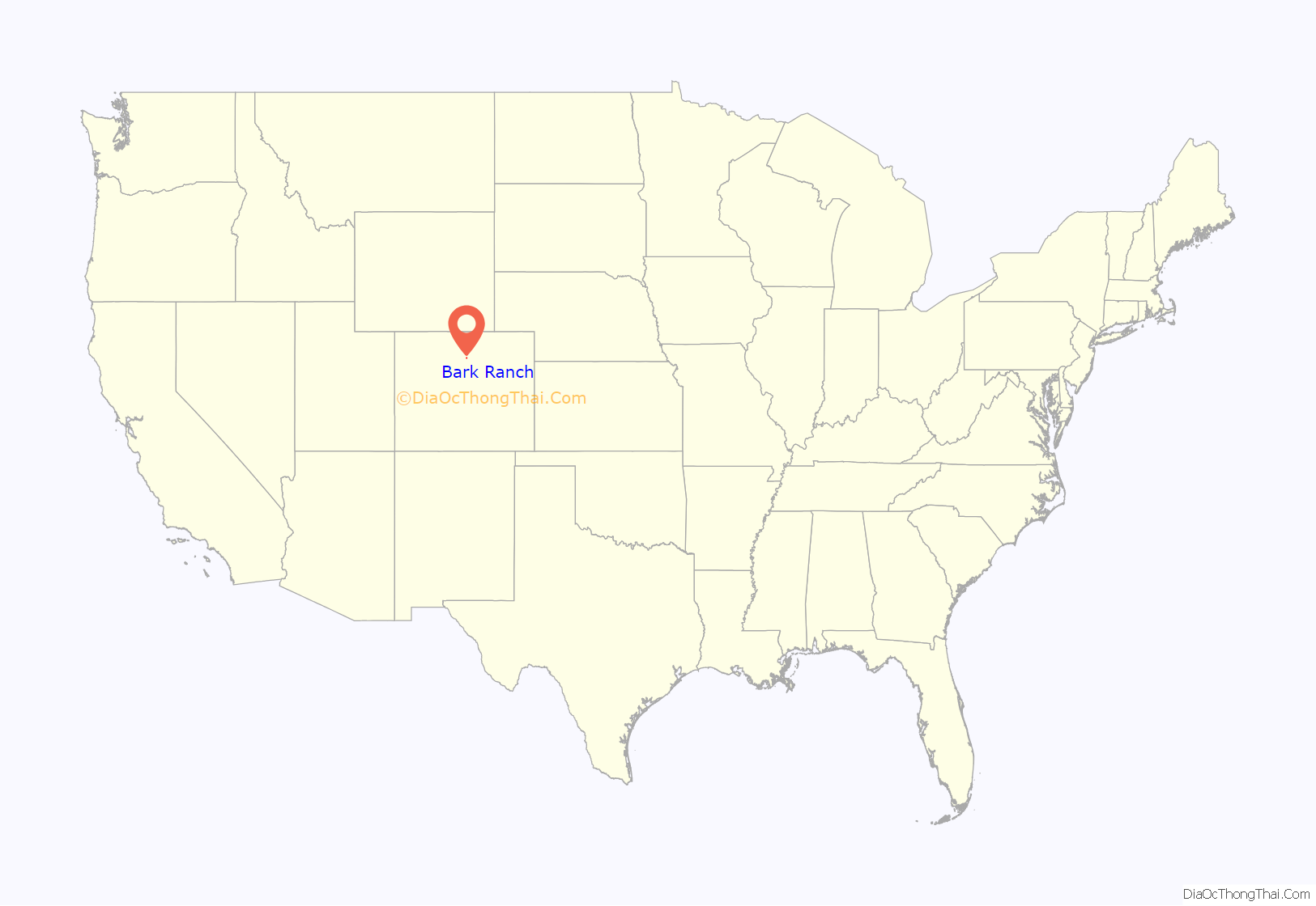
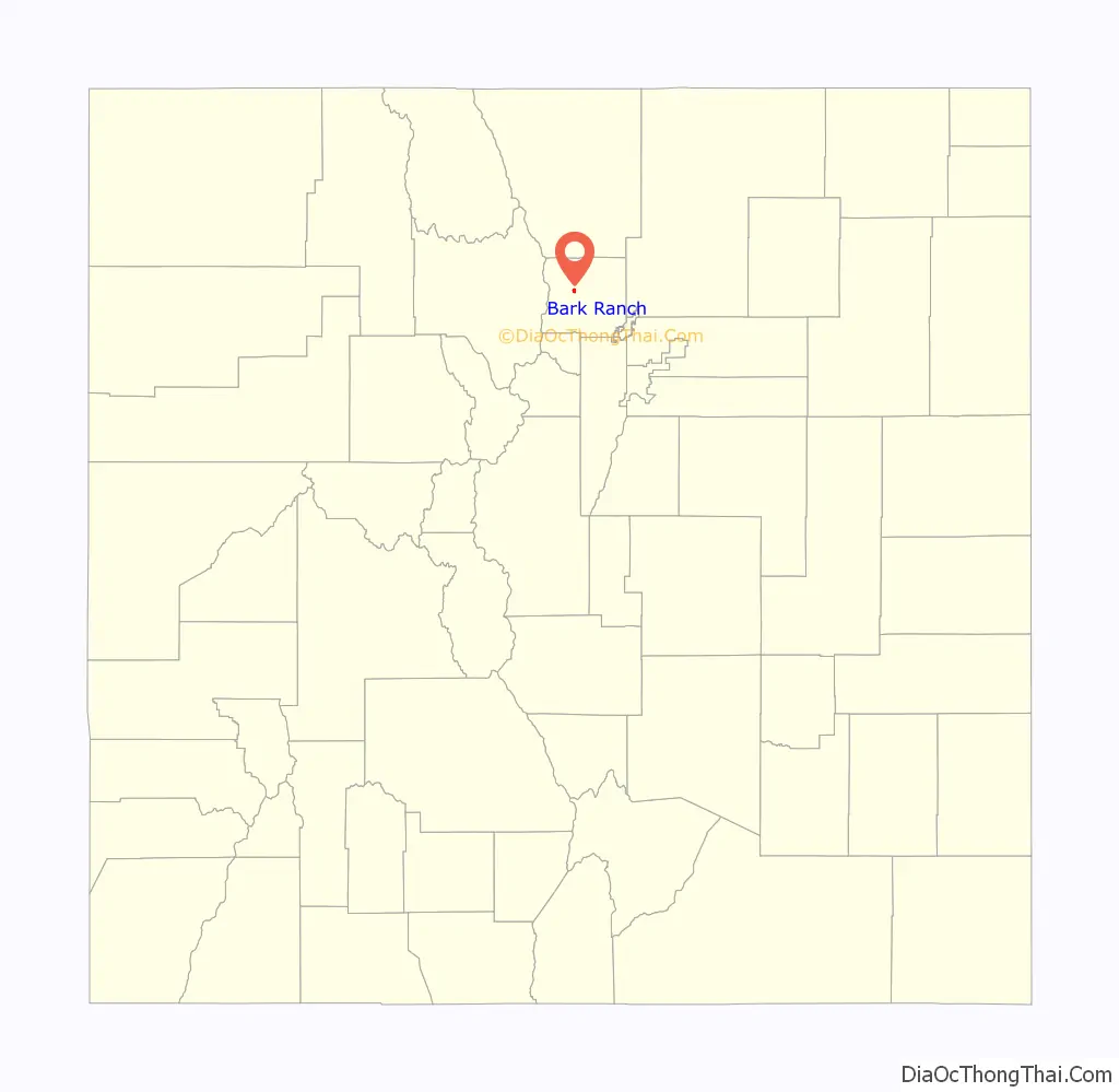
Bark Ranch location map. Where is Bark Ranch CDP?
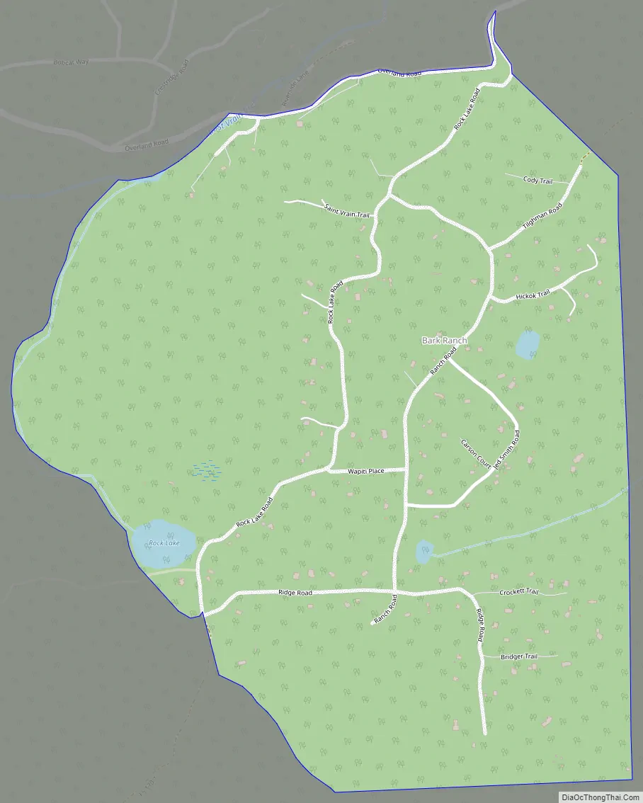
Bark Ranch Road Map
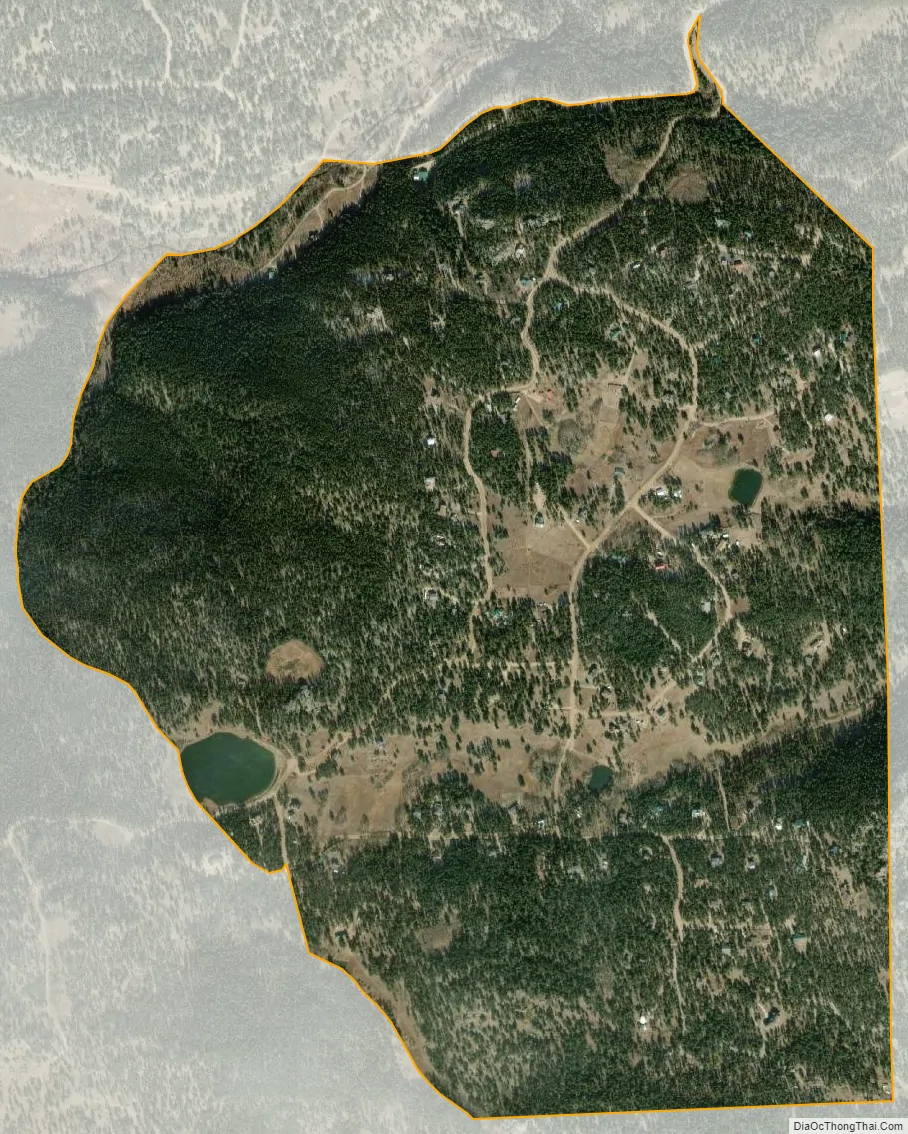
Bark Ranch city Satellite Map
Geography
Bar-K Ranch is located in west central Boulder County in the Front Range of the Colorado Rocky Mountains. It is situated on a ridge west of Jamestown and south of South St. Vrain Creek. Overland Road forms the northern edge of the community, leading east to Jamestown and Altona and west to State Highway 72, the Peak to Peak Highway.
The Bark Ranch CDP has an area of 558 acres (2.257 km), including 6.2 acres (0.025 km) of water.
See also
Map of Colorado State and its subdivision:- Adams
- Alamosa
- Arapahoe
- Archuleta
- Baca
- Bent
- Boulder
- Broomfield
- Chaffee
- Cheyenne
- Clear Creek
- Conejos
- Costilla
- Crowley
- Custer
- Delta
- Denver
- Dolores
- Douglas
- Eagle
- El Paso
- Elbert
- Fremont
- Garfield
- Gilpin
- Grand
- Gunnison
- Hinsdale
- Huerfano
- Jackson
- Jefferson
- Kiowa
- Kit Carson
- La Plata
- Lake
- Larimer
- Las Animas
- Lincoln
- Logan
- Mesa
- Mineral
- Moffat
- Montezuma
- Montrose
- Morgan
- Otero
- Ouray
- Park
- Phillips
- Pitkin
- Prowers
- Pueblo
- Rio Blanco
- Rio Grande
- Routt
- Saguache
- San Juan
- San Miguel
- Sedgwick
- Summit
- Teller
- Washington
- Weld
- Yuma
- Alabama
- Alaska
- Arizona
- Arkansas
- California
- Colorado
- Connecticut
- Delaware
- District of Columbia
- Florida
- Georgia
- Hawaii
- Idaho
- Illinois
- Indiana
- Iowa
- Kansas
- Kentucky
- Louisiana
- Maine
- Maryland
- Massachusetts
- Michigan
- Minnesota
- Mississippi
- Missouri
- Montana
- Nebraska
- Nevada
- New Hampshire
- New Jersey
- New Mexico
- New York
- North Carolina
- North Dakota
- Ohio
- Oklahoma
- Oregon
- Pennsylvania
- Rhode Island
- South Carolina
- South Dakota
- Tennessee
- Texas
- Utah
- Vermont
- Virginia
- Washington
- West Virginia
- Wisconsin
- Wyoming


