Ward is a home rule municipality in Boulder County, Colorado, United States. The population was 150 at the 2010 census. The town is a former mining settlement founded in 1860 in the wake of the discovery of gold at nearby Gold Hill. Once one of the richest towns in the state during the Colorado Gold Rush, it is located on a mountainside at the top of Left Hand Canyon, near the Peak to Peak Highway (State Highway 72) northwest of Boulder at an elevation of 9,450 feet (2,880 m) above sea level.
| Name: | Ward town |
|---|---|
| LSAD Code: | 43 |
| LSAD Description: | town (suffix) |
| State: | Colorado |
| County: | Boulder County |
| Founded: | 1860 |
| Incorporated: | June 9, 1896 |
| Elevation: | 9,144 ft (2,787 m) |
| Total Area: | 0.54 sq mi (1.39 km²) |
| Land Area: | 0.54 sq mi (1.39 km²) |
| Water Area: | 0.00 sq mi (0.00 km²) |
| Total Population: | 128 |
| Population Density: | 300.37/sq mi (116.08/km²) |
| ZIP code: | 80481 |
| Area code: | 303 |
| FIPS code: | 0882735 |
| GNISfeature ID: | 0178487 |
| Website: | www.ward-co.org |
Online Interactive Map
Click on ![]() to view map in "full screen" mode.
to view map in "full screen" mode.
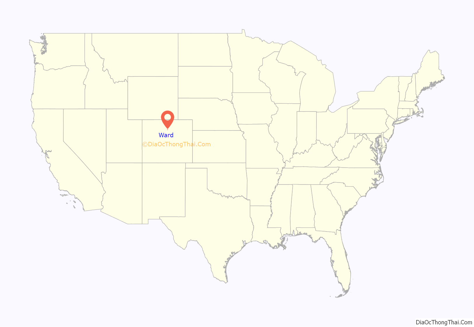
Ward location map. Where is Ward town?

History
The town was named for Calvin Ward, who prospected a claim in 1860 on the site known as Miser’s Dream. The town boomed the following year with the discovery by Cyrus W. Deardorff of the Columbia vein. Over the next several decades the population fluctuated, growing from several hundred to several thousand before declining once again. The mines in the area remained profitable for many decades, with one mine eventually producing over 2 million ounces (62 metric tons) of silver. A post office with the name Ward District was established January 13, 1863; the name was changed to Ward, September 11, 1894. The city was incorporated in June 1896. The railroad reached the area in 1898, arriving over the Whiplash and Switzerland Trail, which climbed over 4,000 feet (1,220 m) from Boulder over the course of 26 miles (42 km). In January 1900 over 50 buildings were destroyed by a devastating fire, although the profitability of the mines led to the immediate rebuilding of the town. The town was largely deserted by the 1920s, but the construction of the Peak-to-Peak Highway in the 1930s led to a revival of the town. During WWII the town’s year-round population dropped to four people. Then, in the 1960s, the town’s population jumped from between 10-20 year-round residents to well over 100 due to the town’s interest to hippies.
The town has several businesses along its main street, including a restaurant, a coffee shop, an art gallery, and general store.
Ward Road Map

Ward city Satellite Map
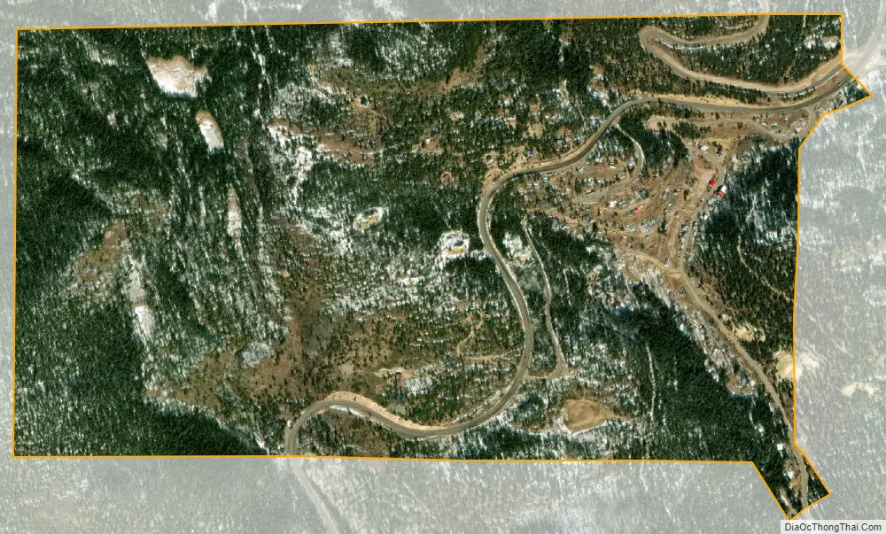
Geography
Ward is located at 40°4′20″N 105°30′36″W / 40.07222°N 105.51000°W / 40.07222; -105.51000 (40.072347, -105.510131).
According to the United States Census Bureau, the town has a total area of 0.6 square miles (1.6 km), all of it land.
See also
Map of Colorado State and its subdivision:- Adams
- Alamosa
- Arapahoe
- Archuleta
- Baca
- Bent
- Boulder
- Broomfield
- Chaffee
- Cheyenne
- Clear Creek
- Conejos
- Costilla
- Crowley
- Custer
- Delta
- Denver
- Dolores
- Douglas
- Eagle
- El Paso
- Elbert
- Fremont
- Garfield
- Gilpin
- Grand
- Gunnison
- Hinsdale
- Huerfano
- Jackson
- Jefferson
- Kiowa
- Kit Carson
- La Plata
- Lake
- Larimer
- Las Animas
- Lincoln
- Logan
- Mesa
- Mineral
- Moffat
- Montezuma
- Montrose
- Morgan
- Otero
- Ouray
- Park
- Phillips
- Pitkin
- Prowers
- Pueblo
- Rio Blanco
- Rio Grande
- Routt
- Saguache
- San Juan
- San Miguel
- Sedgwick
- Summit
- Teller
- Washington
- Weld
- Yuma
- Alabama
- Alaska
- Arizona
- Arkansas
- California
- Colorado
- Connecticut
- Delaware
- District of Columbia
- Florida
- Georgia
- Hawaii
- Idaho
- Illinois
- Indiana
- Iowa
- Kansas
- Kentucky
- Louisiana
- Maine
- Maryland
- Massachusetts
- Michigan
- Minnesota
- Mississippi
- Missouri
- Montana
- Nebraska
- Nevada
- New Hampshire
- New Jersey
- New Mexico
- New York
- North Carolina
- North Dakota
- Ohio
- Oklahoma
- Oregon
- Pennsylvania
- Rhode Island
- South Carolina
- South Dakota
- Tennessee
- Texas
- Utah
- Vermont
- Virginia
- Washington
- West Virginia
- Wisconsin
- Wyoming


