The Town of Bennett is a Statutory Town located in Adams and Arapahoe counties, Colorado, United States. The town population was 2,862 at the 2020 United States Census with 2,443 residing in Adams County and 419 residing in Arapahoe County. Bennett is a part of the Denver-Aurora-Lakewood, CO Metropolitan Statistical Area and the Front Range Urban Corridor.
| Name: | Bennett town |
|---|---|
| LSAD Code: | 43 |
| LSAD Description: | town (suffix) |
| State: | Colorado |
| County: | Adams County, Arapahoe County |
| Elevation: | 5,485 ft (1,672 m) |
| Total Area: | 5.801 sq mi (15.024 km²) |
| Land Area: | 5.795 sq mi (15.008 km²) |
| Water Area: | 0.006 sq mi (0.016 km²) |
| Total Population: | 2,862 |
| Population Density: | 494/sq mi (191/km²) |
| ZIP code: | 80102 |
| FIPS code: | 0806090 |
| GNISfeature ID: | 0204738 |
| Website: | www.bennett.co.us |
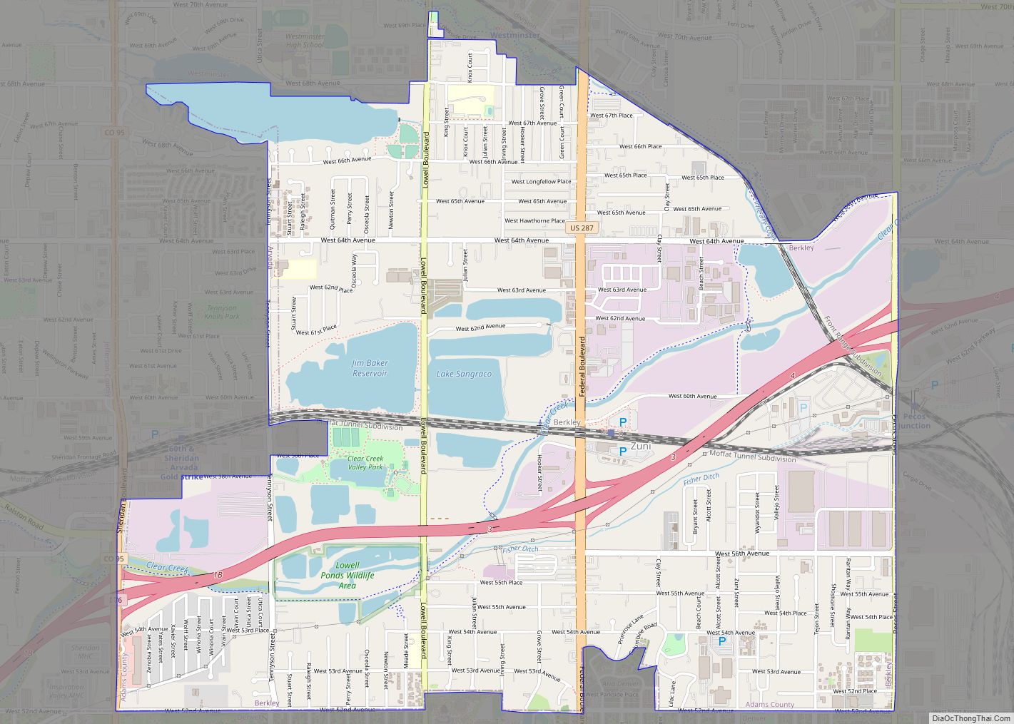
Online Interactive Map
Click on ![]() to view map in "full screen" mode.
to view map in "full screen" mode.
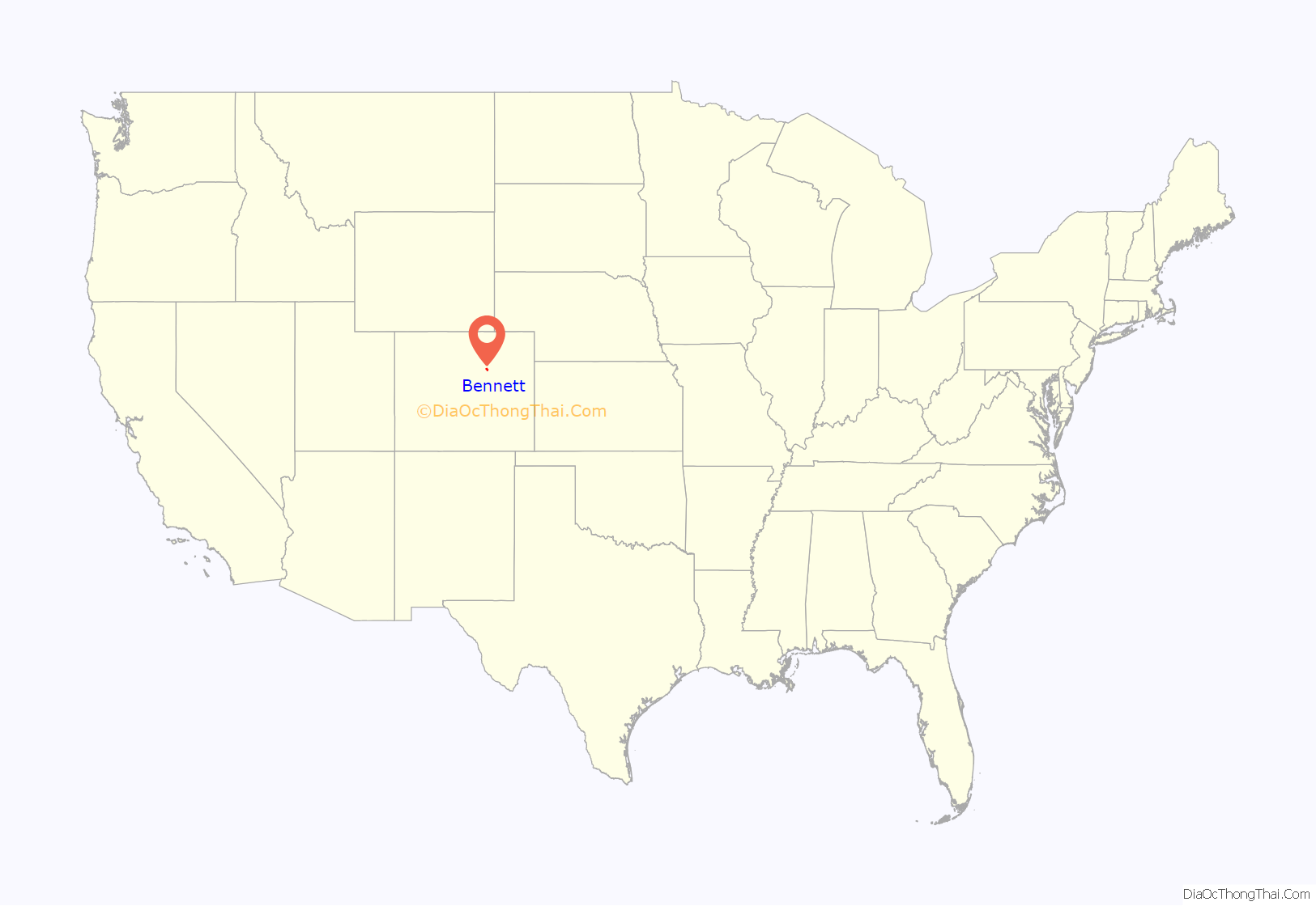
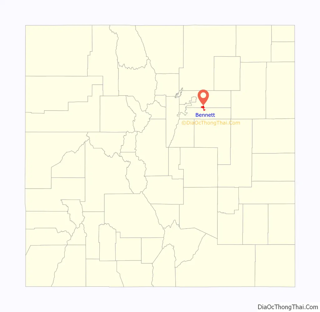
Bennett location map. Where is Bennett town?
History
Bennett was incorporated on January 22, 1930, and was named for Hiram Pitt Bennet, congressional delegate from the Territory of Colorado and Colorado Secretary of State.
Colorado spam king
Edward Davidson, known also as the “Colorado Spam King”, operated an illegal spamming company, Power promotions, from July 2002 through April 2007 from a home near Bennett where he had a large network of computers and servers, according to federal authorities. The spam contained false header information, concealing the actual sender from the recipient of the e-mail. Davidson provided spammed messages for about 19 different companies, prosecutors said. Some of the e-mailed pitches were used to dupe stock investors and manipulate the market, federal authorities said. Davidson was sentenced to 21 months in federal prison and ordered to pay $714,139 to the Internal Revenue Service. On July 20, 2008, he escaped from a minimum-security prison. Four days later, he was found dead with his wife and a child, both also dead, in an apparent murder-suicide near Bennett.
Kiowa Crossing and train wreck
Until 1878, the town was known as Kiowa Crossing. On May 21 of that year, a heavy rainstorm washed out the railroad bridge over Kiowa Creek to the east of town. A Kansas Pacific Railway train of 25 cars loaded with scrap iron was washed into the stream with crewmen Frank Seldon, George Piatt, and John Bacon on board. Most of the wrecked train was recovered, but the locomotive #51 was never officially found. In 1989, archivist Lloyd Glasier at Union Pacific discovered that the railroad had found the locomotive, secretly lifted it to the surface and tugged it to their workshop, repaired it, put it back into service with a new number, and collected the insurance money for its loss in an insurance fraud. The story of the lost locomotive inspired Clive Cussler to write Night Probe!; his nonprofit NUMA later searched for the locomotive.
Opera controversy
The town achieved national notoriety in February 2006 when a number of parents of elementary schoolchildren criticized a local teacher for showing in class a video of Gounod’s classic opera Faust, featuring world renowned and critically acclaimed soprano Dame Joan Sutherland. Parents said their children were traumatized by the appearance of a leering devil in the video, a man appearing to be killed by a sword in silhouette, and an allusion to suicide. Tresa Waggoner, the teacher who showed the video, was required to send a letter of apology for her actions to parents.
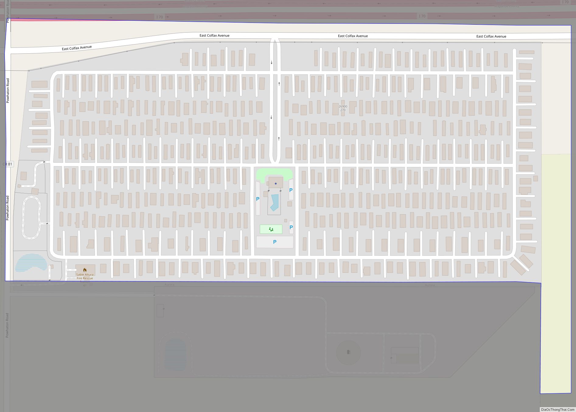
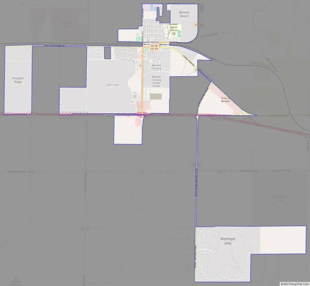
Bennett Road Map
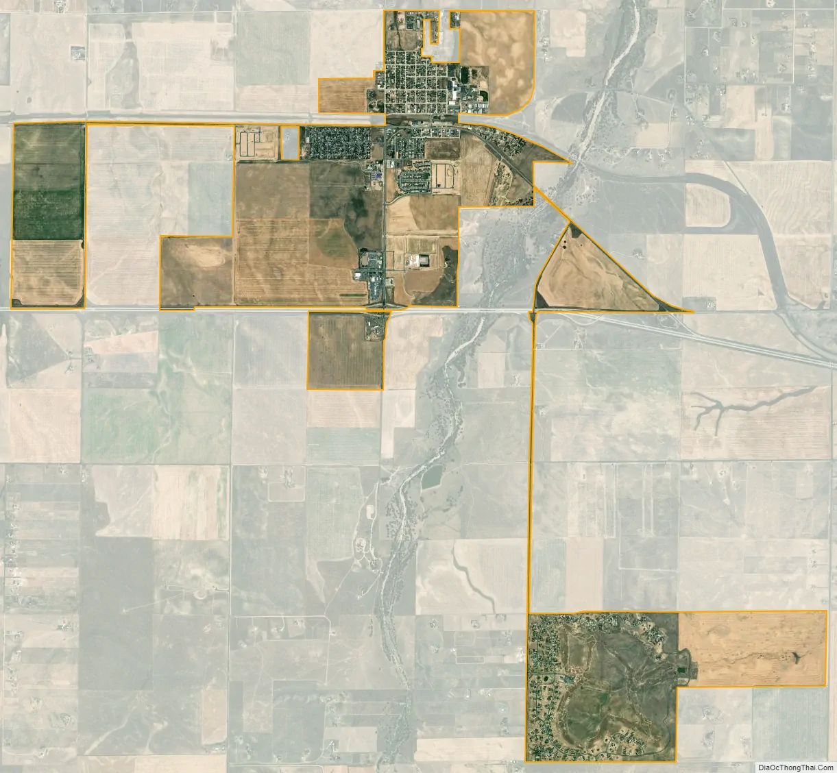
Bennett city Satellite Map
Geography
Bennett is located at 39°45′13″N 104°25′43″W / 39.75361°N 104.42861°W / 39.75361; -104.42861 (39.753604, -104.428580), at the intersection of State Highways 36 and 79, just north of Interstate 70.
At the 2020 United States Census, the town had a total area of 3,713 acres (15.024 km) including 4.0 acres (0.016 km) of water.
The highest temperature ever recorded in Colorado occurred in Bennett on July 11, 1888, when it reached 118 °F (48 °C).
See also
Map of Colorado State and its subdivision:- Adams
- Alamosa
- Arapahoe
- Archuleta
- Baca
- Bent
- Boulder
- Broomfield
- Chaffee
- Cheyenne
- Clear Creek
- Conejos
- Costilla
- Crowley
- Custer
- Delta
- Denver
- Dolores
- Douglas
- Eagle
- El Paso
- Elbert
- Fremont
- Garfield
- Gilpin
- Grand
- Gunnison
- Hinsdale
- Huerfano
- Jackson
- Jefferson
- Kiowa
- Kit Carson
- La Plata
- Lake
- Larimer
- Las Animas
- Lincoln
- Logan
- Mesa
- Mineral
- Moffat
- Montezuma
- Montrose
- Morgan
- Otero
- Ouray
- Park
- Phillips
- Pitkin
- Prowers
- Pueblo
- Rio Blanco
- Rio Grande
- Routt
- Saguache
- San Juan
- San Miguel
- Sedgwick
- Summit
- Teller
- Washington
- Weld
- Yuma
- Alabama
- Alaska
- Arizona
- Arkansas
- California
- Colorado
- Connecticut
- Delaware
- District of Columbia
- Florida
- Georgia
- Hawaii
- Idaho
- Illinois
- Indiana
- Iowa
- Kansas
- Kentucky
- Louisiana
- Maine
- Maryland
- Massachusetts
- Michigan
- Minnesota
- Mississippi
- Missouri
- Montana
- Nebraska
- Nevada
- New Hampshire
- New Jersey
- New Mexico
- New York
- North Carolina
- North Dakota
- Ohio
- Oklahoma
- Oregon
- Pennsylvania
- Rhode Island
- South Carolina
- South Dakota
- Tennessee
- Texas
- Utah
- Vermont
- Virginia
- Washington
- West Virginia
- Wisconsin
- Wyoming