The Town of Blanca is a Statutory Town located in Costilla County, Colorado, United States. The town population was 322 at the 2020 census. Blanca is located in the enormous San Luis Valley.
| Name: | Blanca town |
|---|---|
| LSAD Code: | 43 |
| LSAD Description: | town (suffix) |
| State: | Colorado |
| County: | Costilla County |
| Elevation: | 7,756 ft (2,364 m) |
| Total Area: | 1.833 sq mi (4.747 km²) |
| Land Area: | 1.833 sq mi (4.747 km²) |
| Water Area: | 0.000 sq mi (0.000 km²) |
| Total Population: | 322 |
| Population Density: | 176/sq mi (68/km²) |
| ZIP code: | 81123 |
| Area code: | 719 |
| FIPS code: | 0807190 |
Online Interactive Map
Click on ![]() to view map in "full screen" mode.
to view map in "full screen" mode.
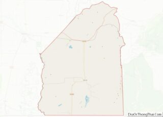
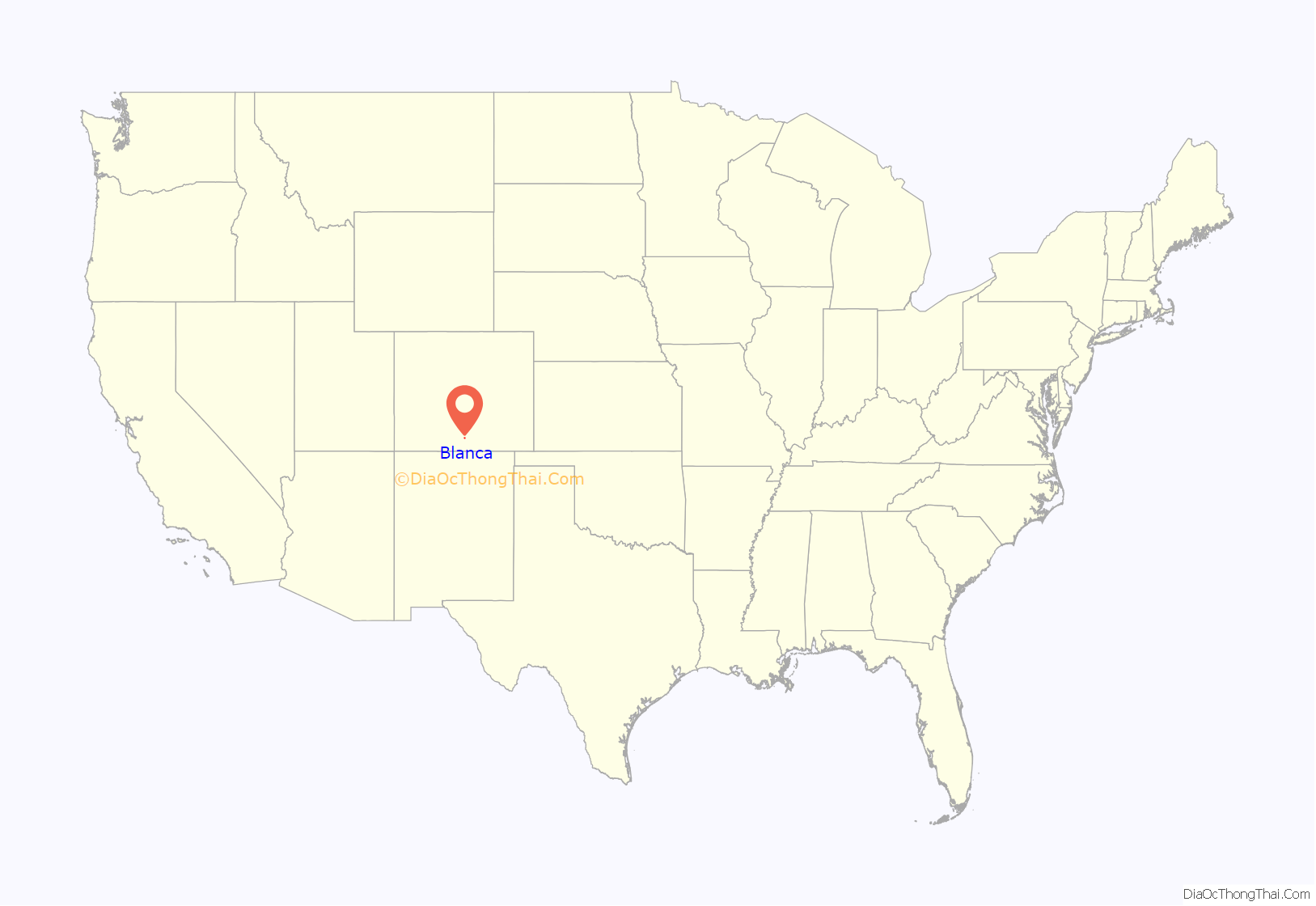
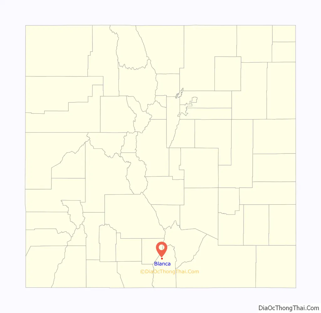
Blanca location map. Where is Blanca town?
History
The town, named for Blanca Peak, was founded in August 1908 from a land lottery in the San Luis Valley of south central Colorado. It was incorporated in 1909.
In the mid-1990s Polish settlers set up shop at the Red Rocks General Store selling liquor, beer, polish sausages, and other eastern European goods. Blanca is the region’s main supplier of bilberry syrup. Blanca is known for elk hunting and alpine trout fishing.
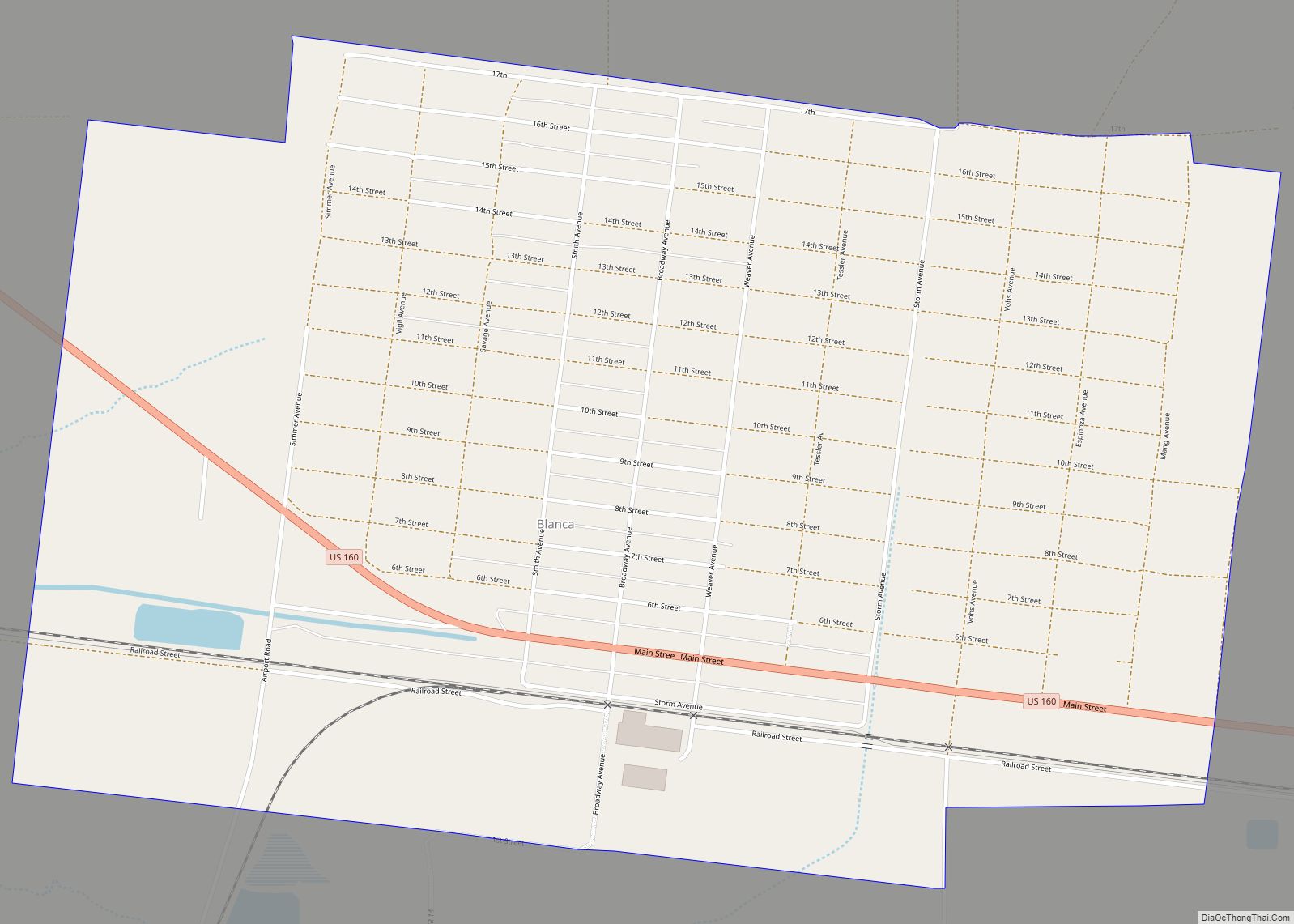
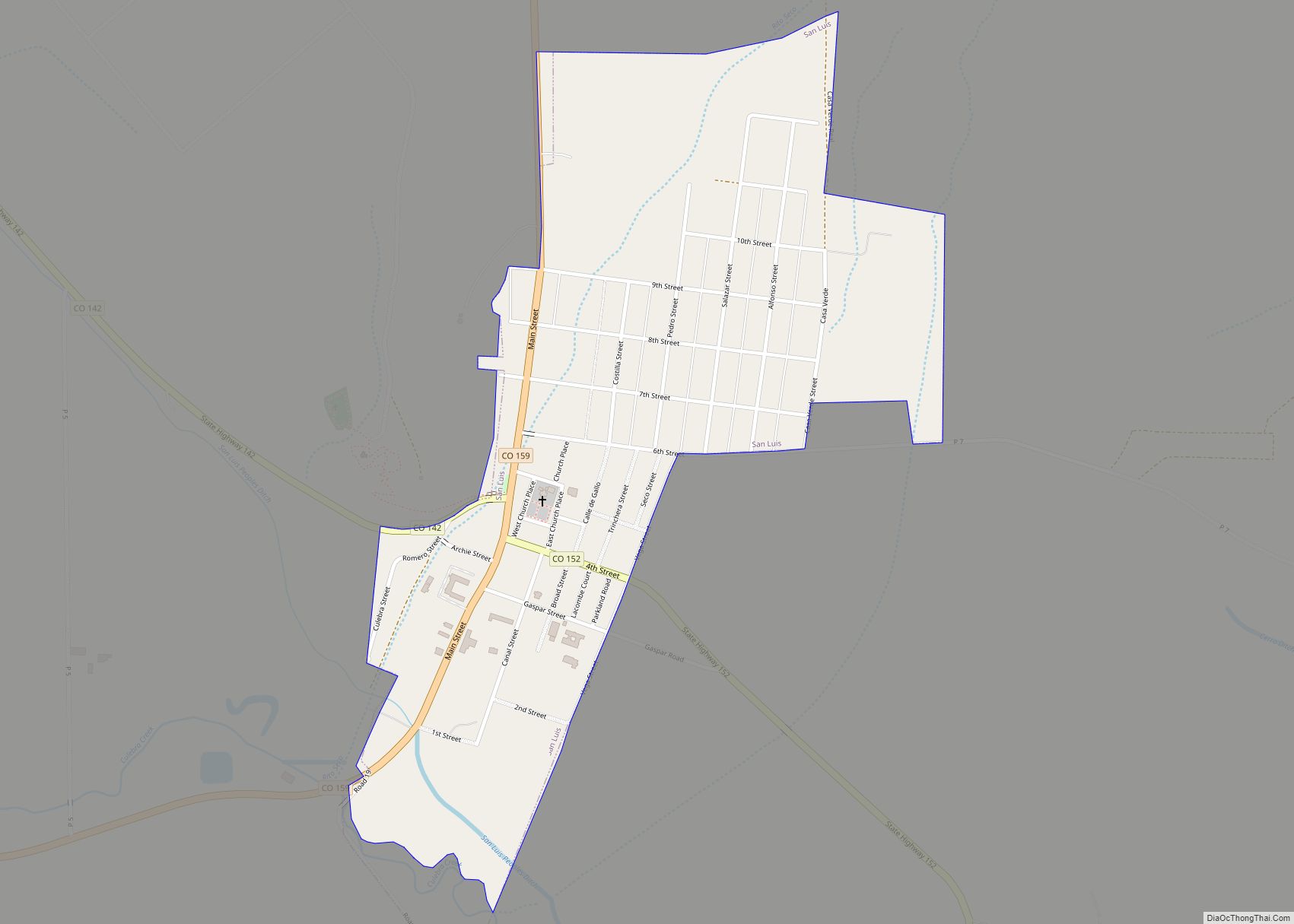
Blanca Road Map
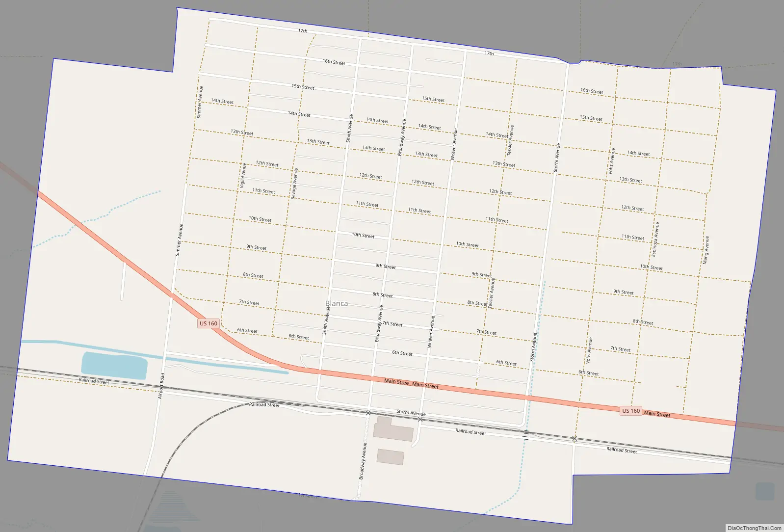
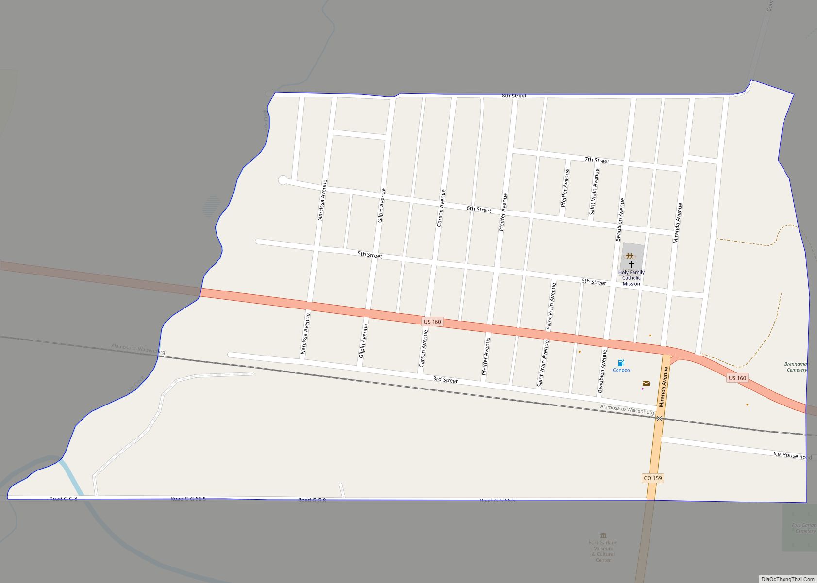
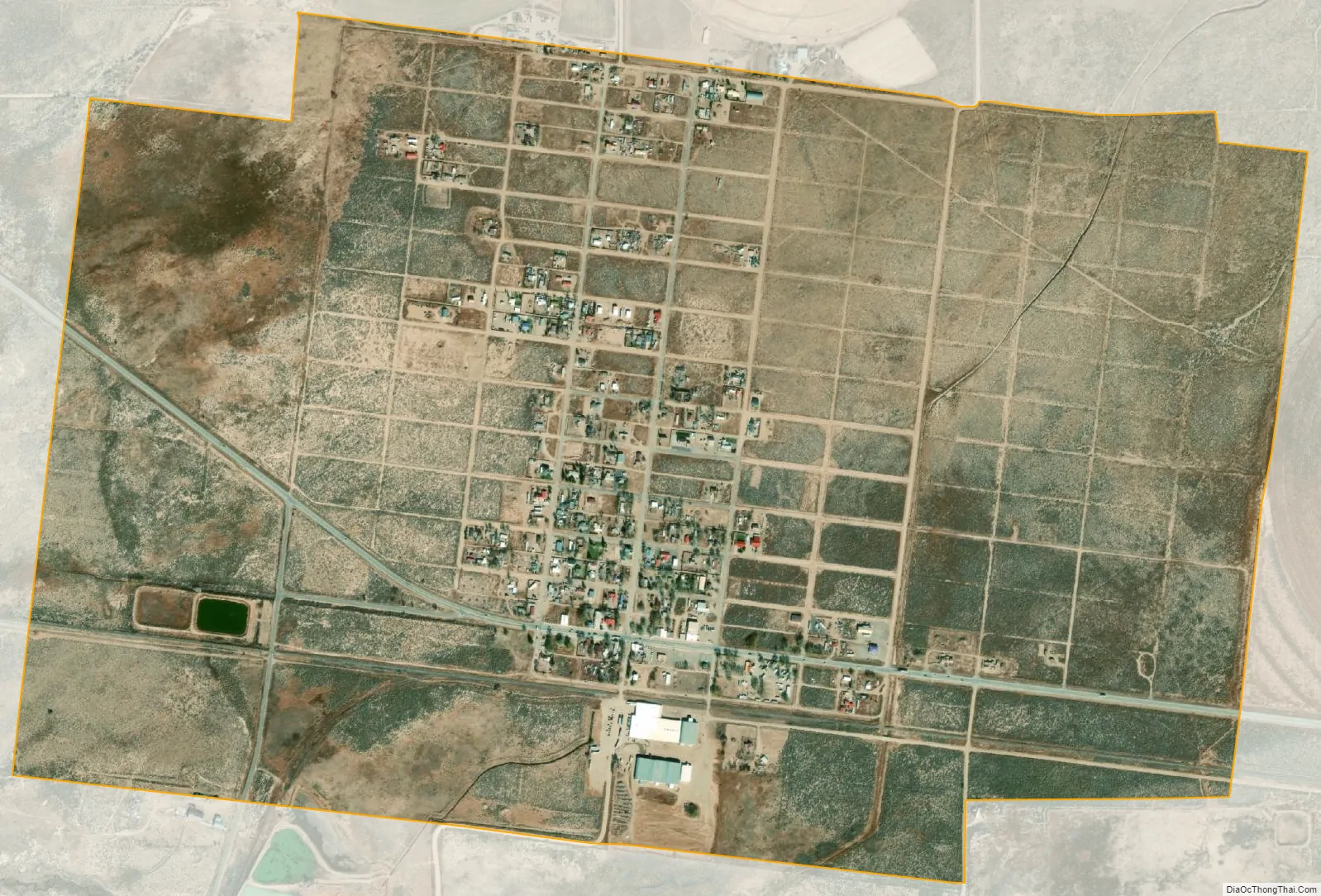
Blanca city Satellite Map
Geography
Blanca is at 37°26′26″N 105°30′36″W / 37.44056°N 105.51000°W / 37.44056; -105.51000 (37.440569, -105.509901) in the east of the San Luis Valley and northern Costilla County.
At the 2020 United States Census, the town had an area of 1,173 acres (4.747 km), all of it land.
The town lies along U.S. Route 160, 20 miles (32 km) east of Alamosa and 52 miles (84 km) west of Walsenburg.
The region has a cool, dry climate, with 107 frost-free days each year. Temperatures range from −30 °F (−34 °C) to 85 °F (29 °C). Annual rainfall is about 7 inches (180 mm).
In areas not irrigated, dunes carry sparse vegetation such as greasewood, rubber rabbitbrush, salt grass, sandhill muhly and sand dropseed. The dunes are intermingled with depressions and basins of historical playas. The Blanca Wetlands, an Area of Critical Environmental Concern, lies northwest of the town. The wetlands receive groundwater for irrigation from the Closed Basin Project, which delivers groundwater to the Rio Grande.
See also
Map of Colorado State and its subdivision:- Adams
- Alamosa
- Arapahoe
- Archuleta
- Baca
- Bent
- Boulder
- Broomfield
- Chaffee
- Cheyenne
- Clear Creek
- Conejos
- Costilla
- Crowley
- Custer
- Delta
- Denver
- Dolores
- Douglas
- Eagle
- El Paso
- Elbert
- Fremont
- Garfield
- Gilpin
- Grand
- Gunnison
- Hinsdale
- Huerfano
- Jackson
- Jefferson
- Kiowa
- Kit Carson
- La Plata
- Lake
- Larimer
- Las Animas
- Lincoln
- Logan
- Mesa
- Mineral
- Moffat
- Montezuma
- Montrose
- Morgan
- Otero
- Ouray
- Park
- Phillips
- Pitkin
- Prowers
- Pueblo
- Rio Blanco
- Rio Grande
- Routt
- Saguache
- San Juan
- San Miguel
- Sedgwick
- Summit
- Teller
- Washington
- Weld
- Yuma
- Alabama
- Alaska
- Arizona
- Arkansas
- California
- Colorado
- Connecticut
- Delaware
- District of Columbia
- Florida
- Georgia
- Hawaii
- Idaho
- Illinois
- Indiana
- Iowa
- Kansas
- Kentucky
- Louisiana
- Maine
- Maryland
- Massachusetts
- Michigan
- Minnesota
- Mississippi
- Missouri
- Montana
- Nebraska
- Nevada
- New Hampshire
- New Jersey
- New Mexico
- New York
- North Carolina
- North Dakota
- Ohio
- Oklahoma
- Oregon
- Pennsylvania
- Rhode Island
- South Carolina
- South Dakota
- Tennessee
- Texas
- Utah
- Vermont
- Virginia
- Washington
- West Virginia
- Wisconsin
- Wyoming