The Town of Bonanza is a statutory town located in Saguache County, Colorado, United States. The town population was 17 at the 2020 United States Census. Formerly known as Bonanza City, Bonanza is a largely abandoned former silver mining town. Bonanza is a Spanish language word meaning prosperity.
| Name: | Bonanza town |
|---|---|
| LSAD Code: | 43 |
| LSAD Description: | town (suffix) |
| State: | Colorado |
| County: | Saguache County |
| Incorporated: | 1881-01-13, as the Town of Bonanza City |
| Elevation: | 9,478 ft (2,889 m) |
| Total Area: | 0.437 sq mi (1.133 km²) |
| Land Area: | 0.437 sq mi (1.133 km²) |
| Water Area: | 0.000 sq mi (0.000 km²) |
| Total Population: | 17 |
| Population Density: | 39/sq mi (15/km²) |
| ZIP code: | Villa Grove CO 81155 |
| FIPS code: | 0807571 |
Online Interactive Map
Click on ![]() to view map in "full screen" mode.
to view map in "full screen" mode.
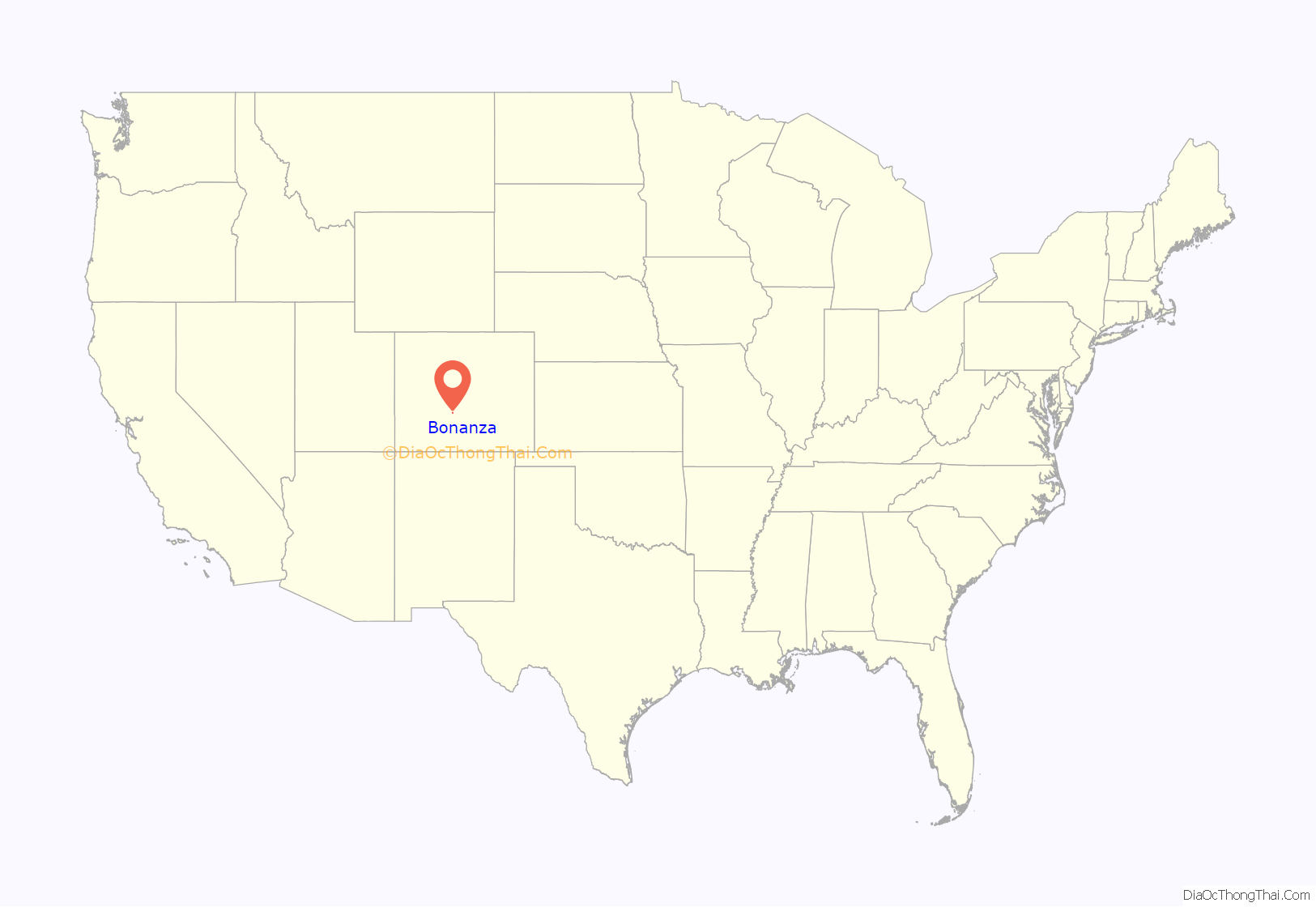
Bonanza location map. Where is Bonanza town?
History
In 1880, Tom Cooke of Salida stumbled upon ore deposits while searching for horses. Prospectors flocked to this location and the town of Bonanza City was founded. In the first two years of its existence, its population ballooned to between 1,000 and 1,500. At the time, population of mining towns was determined by the number of saloons and dance halls instead of a census taker and at this time, Bonanza City had 36 saloons and 7 dance halls.
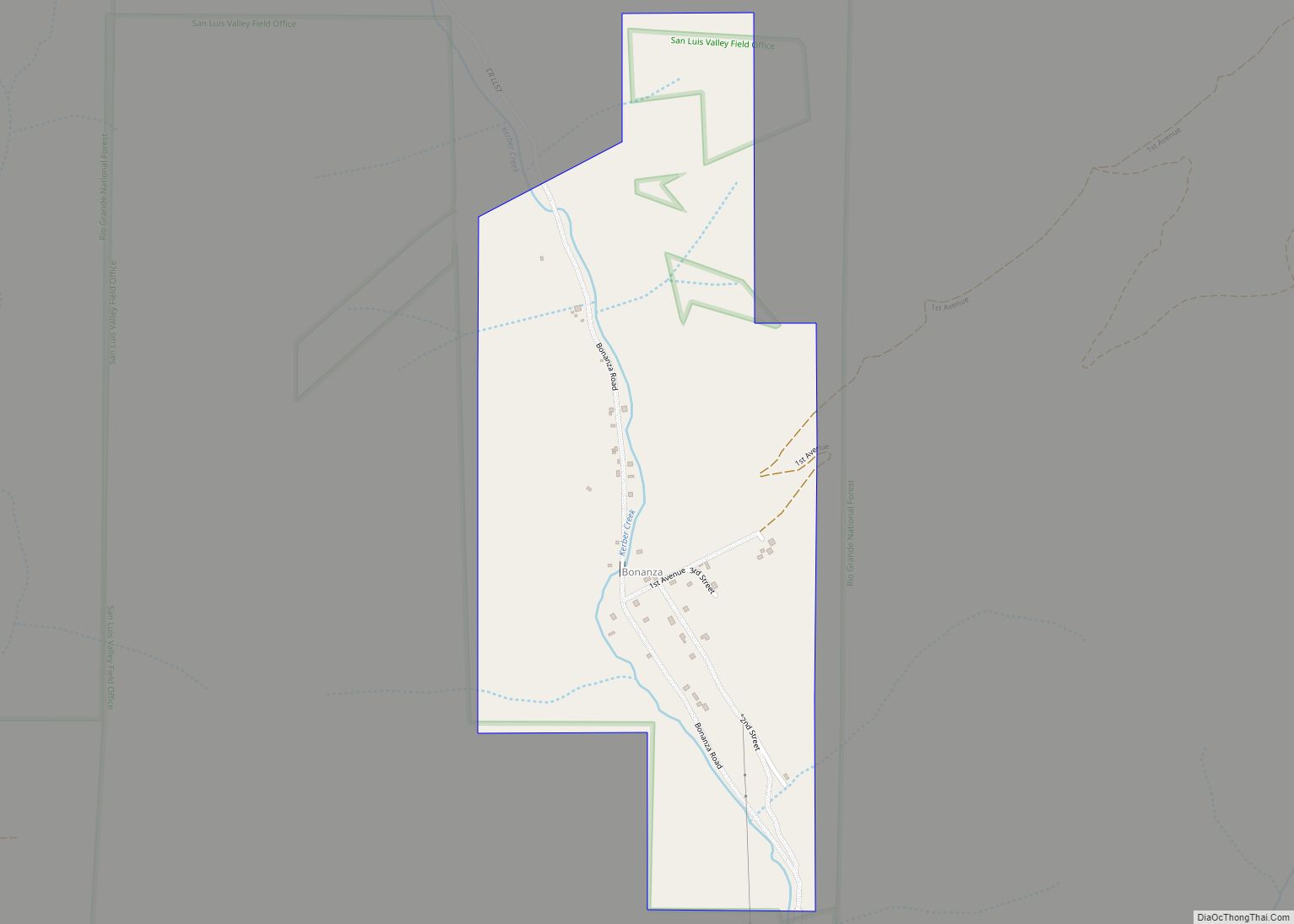
Bonanza Road Map
Bonanza city Satellite Map
Geography
Bonanza is located at 38°17′42″N 106°8′25″W / 38.29500°N 106.14028°W / 38.29500; -106.14028 (38.295138, −106.140158) at an altitude of 9500 feet.
At the 2020 United States Census, the town had a total area of 280 acres (1.133 km), all of it land.
See also
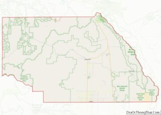
Map of Colorado State and its subdivision:- Adams
- Alamosa
- Arapahoe
- Archuleta
- Baca
- Bent
- Boulder
- Broomfield
- Chaffee
- Cheyenne
- Clear Creek
- Conejos
- Costilla
- Crowley
- Custer
- Delta
- Denver
- Dolores
- Douglas
- Eagle
- El Paso
- Elbert
- Fremont
- Garfield
- Gilpin
- Grand
- Gunnison
- Hinsdale
- Huerfano
- Jackson
- Jefferson
- Kiowa
- Kit Carson
- La Plata
- Lake
- Larimer
- Las Animas
- Lincoln
- Logan
- Mesa
- Mineral
- Moffat
- Montezuma
- Montrose
- Morgan
- Otero
- Ouray
- Park
- Phillips
- Pitkin
- Prowers
- Pueblo
- Rio Blanco
- Rio Grande
- Routt
- Saguache
- San Juan
- San Miguel
- Sedgwick
- Summit
- Teller
- Washington
- Weld
- Yuma
- Alabama
- Alaska
- Arizona
- Arkansas
- California
- Colorado
- Connecticut
- Delaware
- District of Columbia
- Florida
- Georgia
- Hawaii
- Idaho
- Illinois
- Indiana
- Iowa
- Kansas
- Kentucky
- Louisiana
- Maine
- Maryland
- Massachusetts
- Michigan
- Minnesota
- Mississippi
- Missouri
- Montana
- Nebraska
- Nevada
- New Hampshire
- New Jersey
- New Mexico
- New York
- North Carolina
- North Dakota
- Ohio
- Oklahoma
- Oregon
- Pennsylvania
- Rhode Island
- South Carolina
- South Dakota
- Tennessee
- Texas
- Utah
- Vermont
- Virginia
- Washington
- West Virginia
- Wisconsin
- Wyoming
