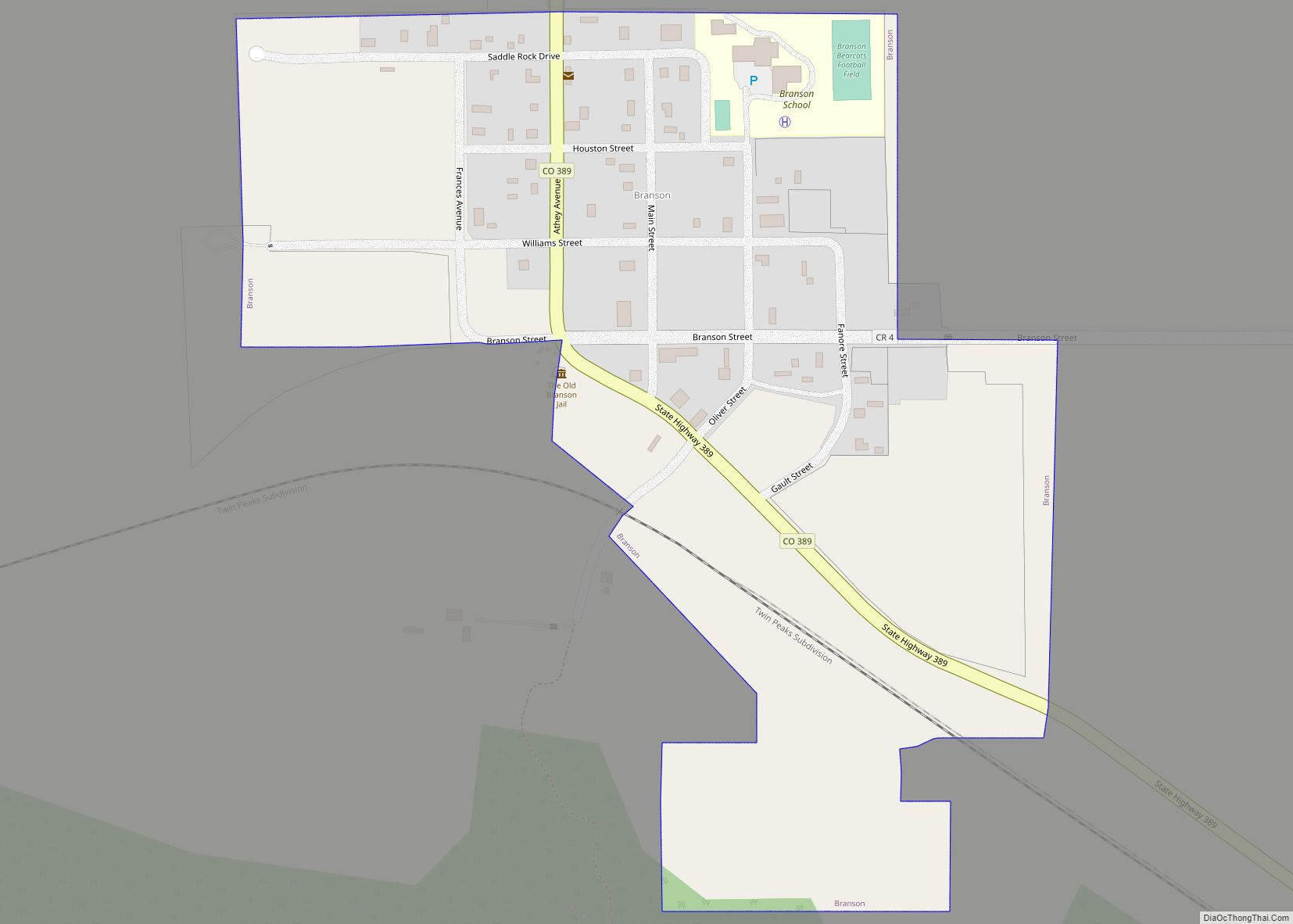
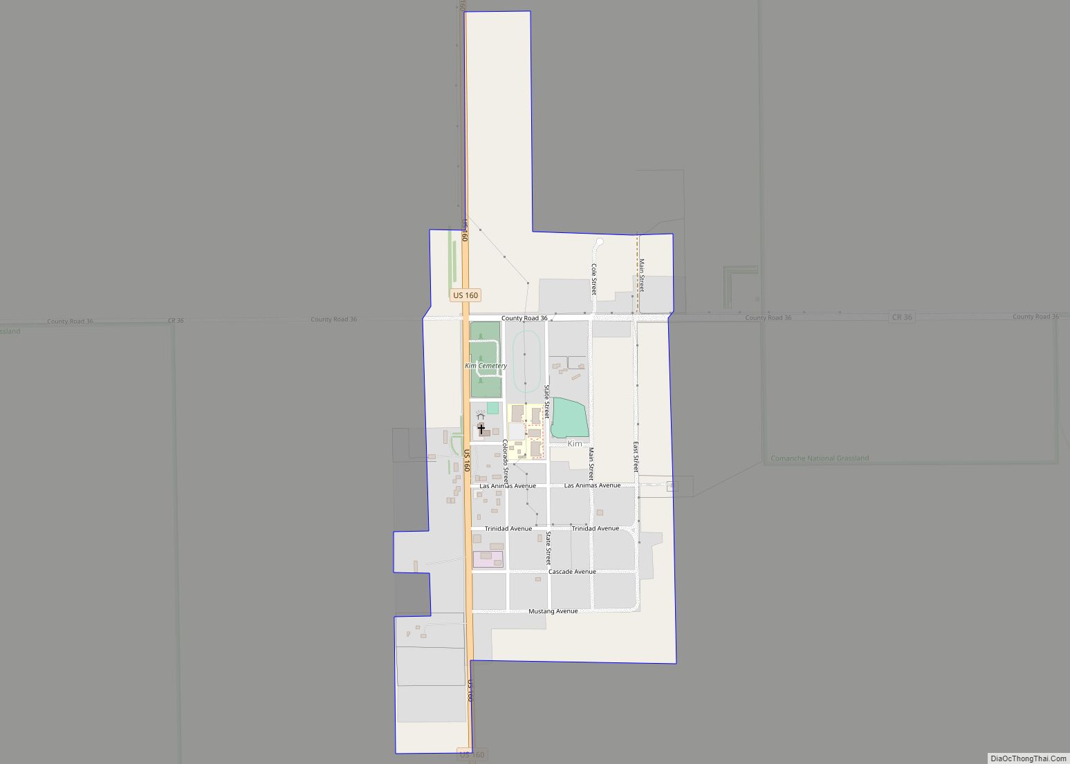
The Town of Branson is a Statutory Town located in Las Animas County, Colorado, United States. The town population was 57 at the 2020 United States Census. Branson is the southernmost town in the State of Colorado, located just 0.3 miles (0.48 km) from the New Mexico border.
Branson is located approximately 35 miles east of Trinidad, Colorado, on State Highway 389, in the Great Plains, as well in the Black Mesa area, the town is surrounded by mesa. It is a ranching community today. Farming in the area was severely impacted by the dust bowl. Branson is much smaller than it once was in more optimistic days and features some picturesque abandoned buildings.
| Name: | Branson town |
|---|---|
| LSAD Code: | 43 |
| LSAD Description: | town (suffix) |
| State: | Colorado |
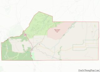
| County: | Las Animas County |
| Incorporated: | 1921-03-26 |
| Elevation: | 6,256 ft (1,907 m) |
| Total Area: | 0.245 sq mi (0.634 km²) |
| Land Area: | 0.245 sq mi (0.634 km²) |
| Water Area: | 0.000 sq mi (0.000 km²) |
| Total Population: | 57 |
| Population Density: | 233/sq mi (90/km²) |
| ZIP code: | 81027 |
| Area code: | 719 |
| FIPS code: | 0808345 |
| Website: | www.bransoncolorado.com |
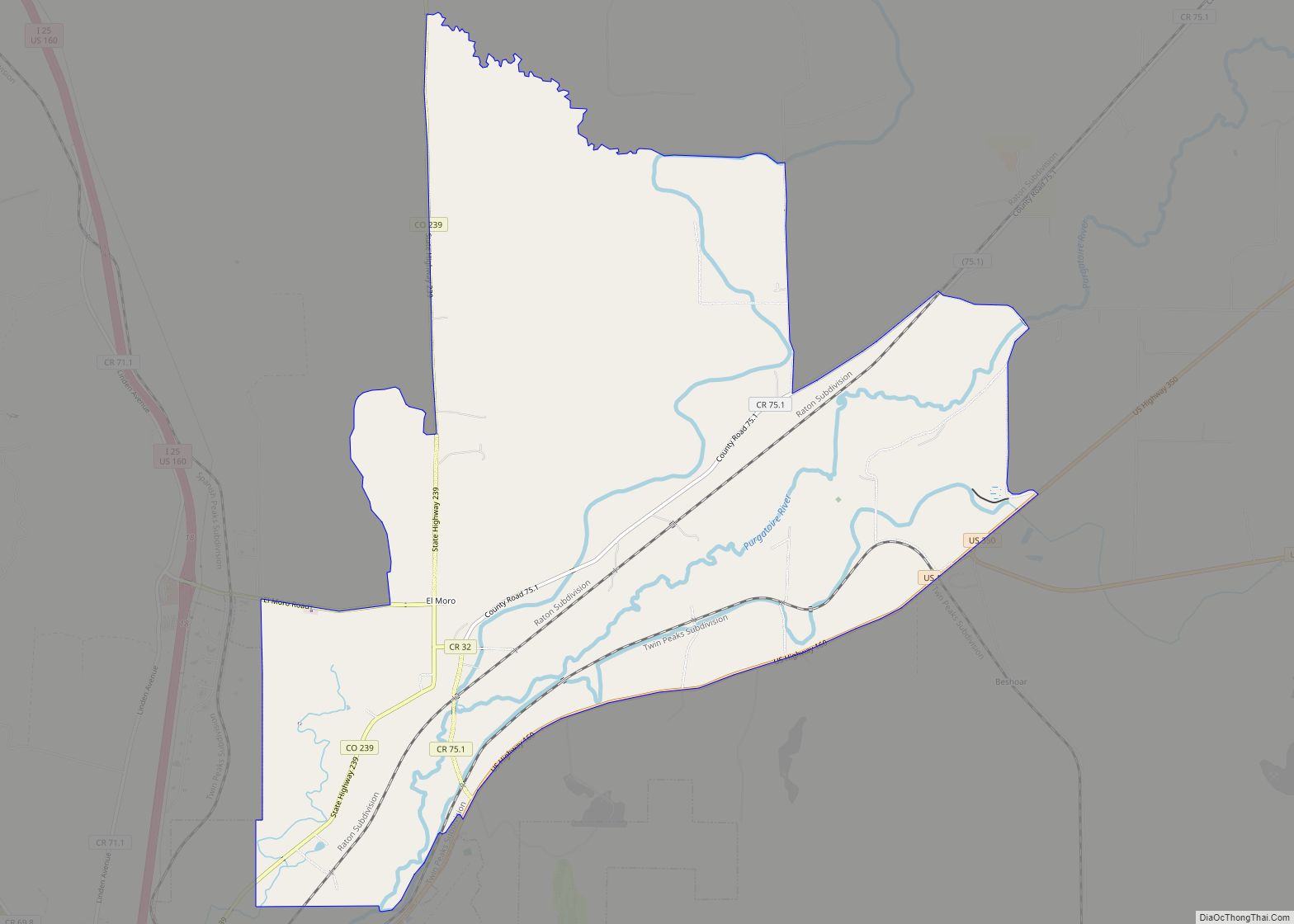
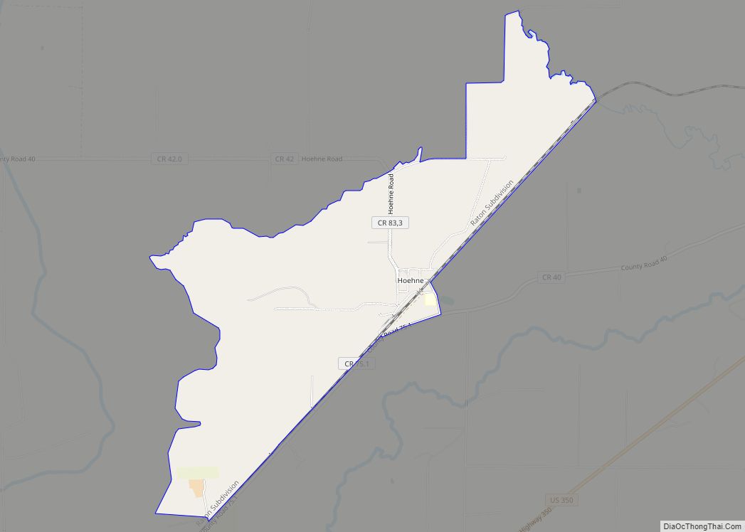
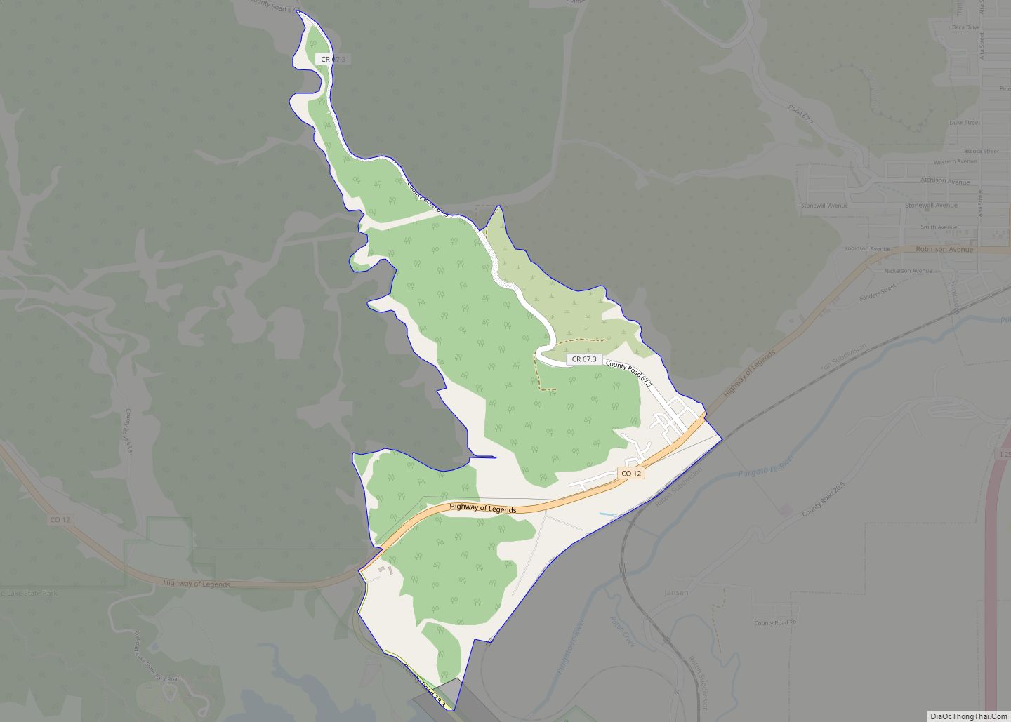
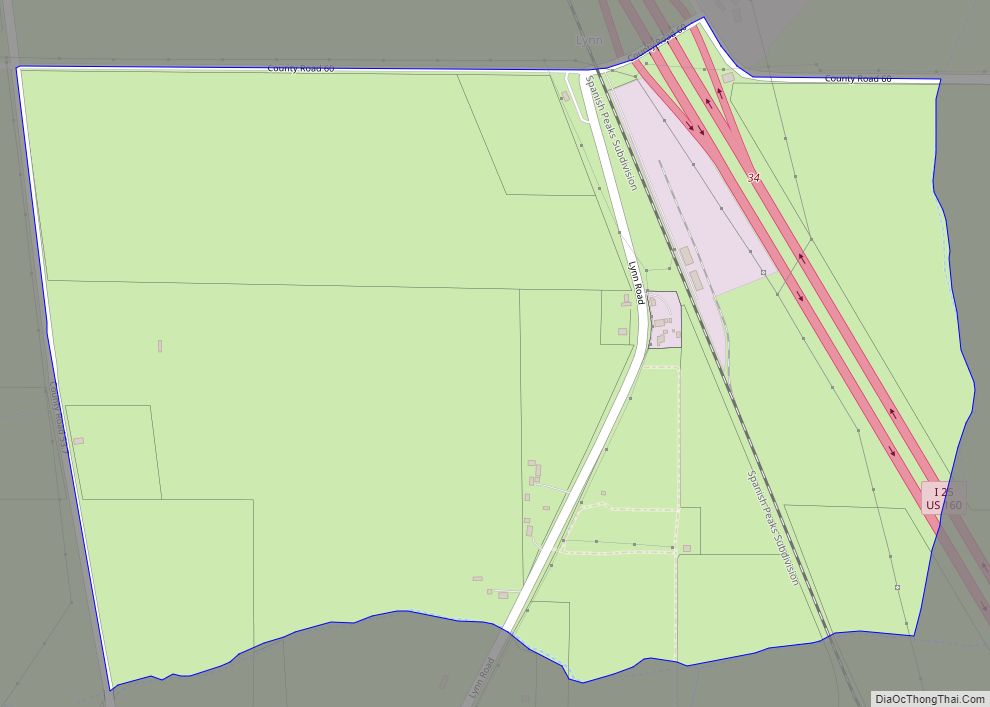
Online Interactive Map
Click on ![]() to view map in "full screen" mode.
to view map in "full screen" mode.
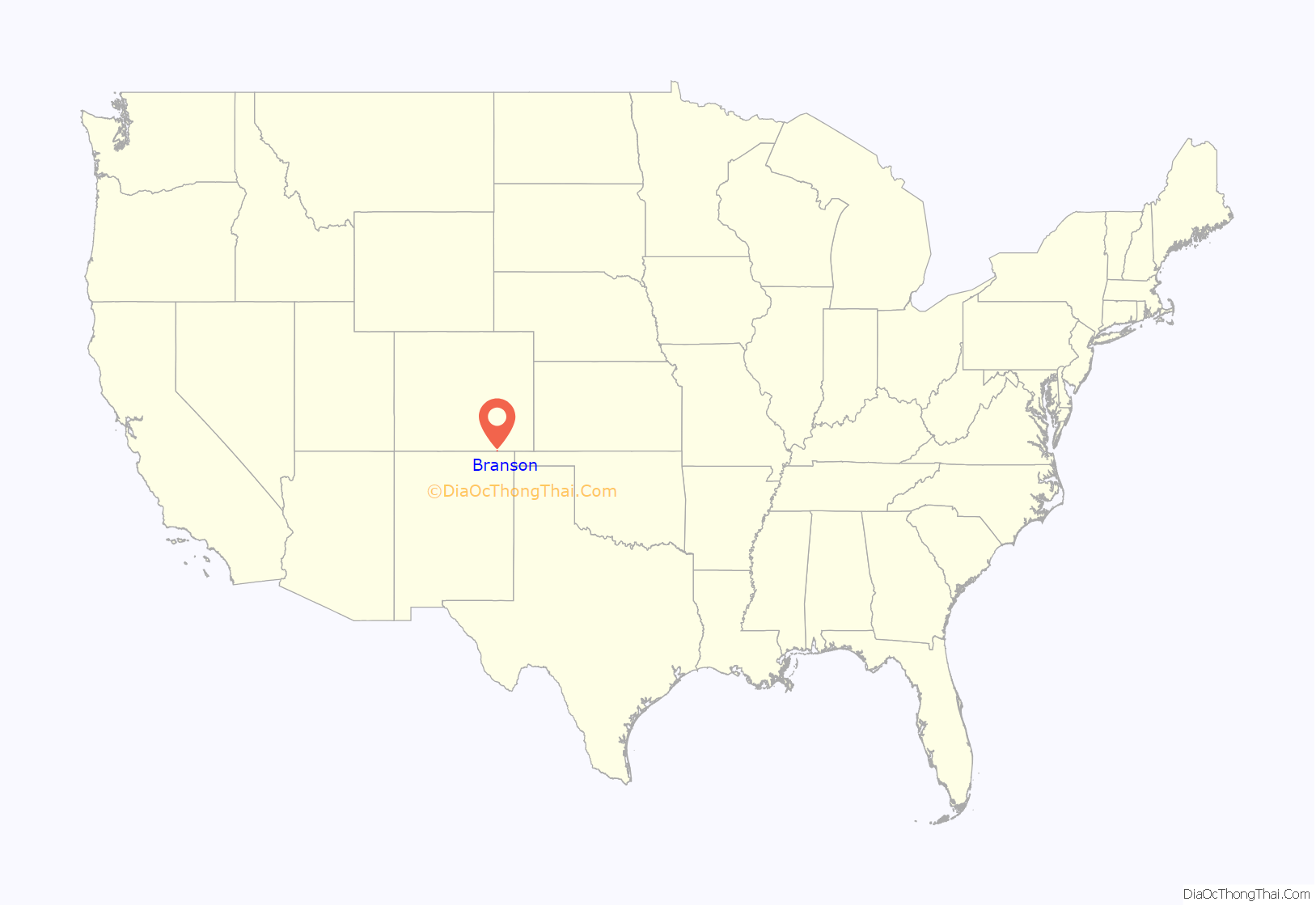
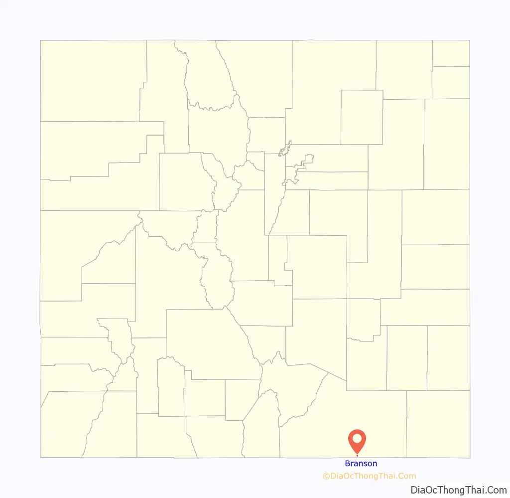
Branson location map. Where is Branson town?
History
The town was first known as Wilson, or Wilson Switch; then as Coloflats. A post office was established in 1915, and its name was changed to Branson in 1918. The town is named after Josiah F. Branson who platted the town on his land. The town was incorporated in 1921. Branson is located north of a break in the mesas which separate Southeast Colorado from Northeast New Mexico, the route of a minor branch of the Santa Fe Trail. It was founded near a switch, Wilson Switch, of the Denver, Texas, and Fort Worth Railroad, later merged into the Colorado and Southern Railway, a predecessor of today’s Burlington Northern Santa Fe. A depot was built in 1918. Despite being unsuitable for farming, many homesteaders attempted dryland farming in the early 20th century. In good years there were bountiful harvests of grain and in the 1920s the town boasted 1000 people and 3 grain elevators as well as facilities such as a bank and a newspaper. After the drought and dust bowl of the 1930s population decreased rapidly as the economy turned from farming to ranching.
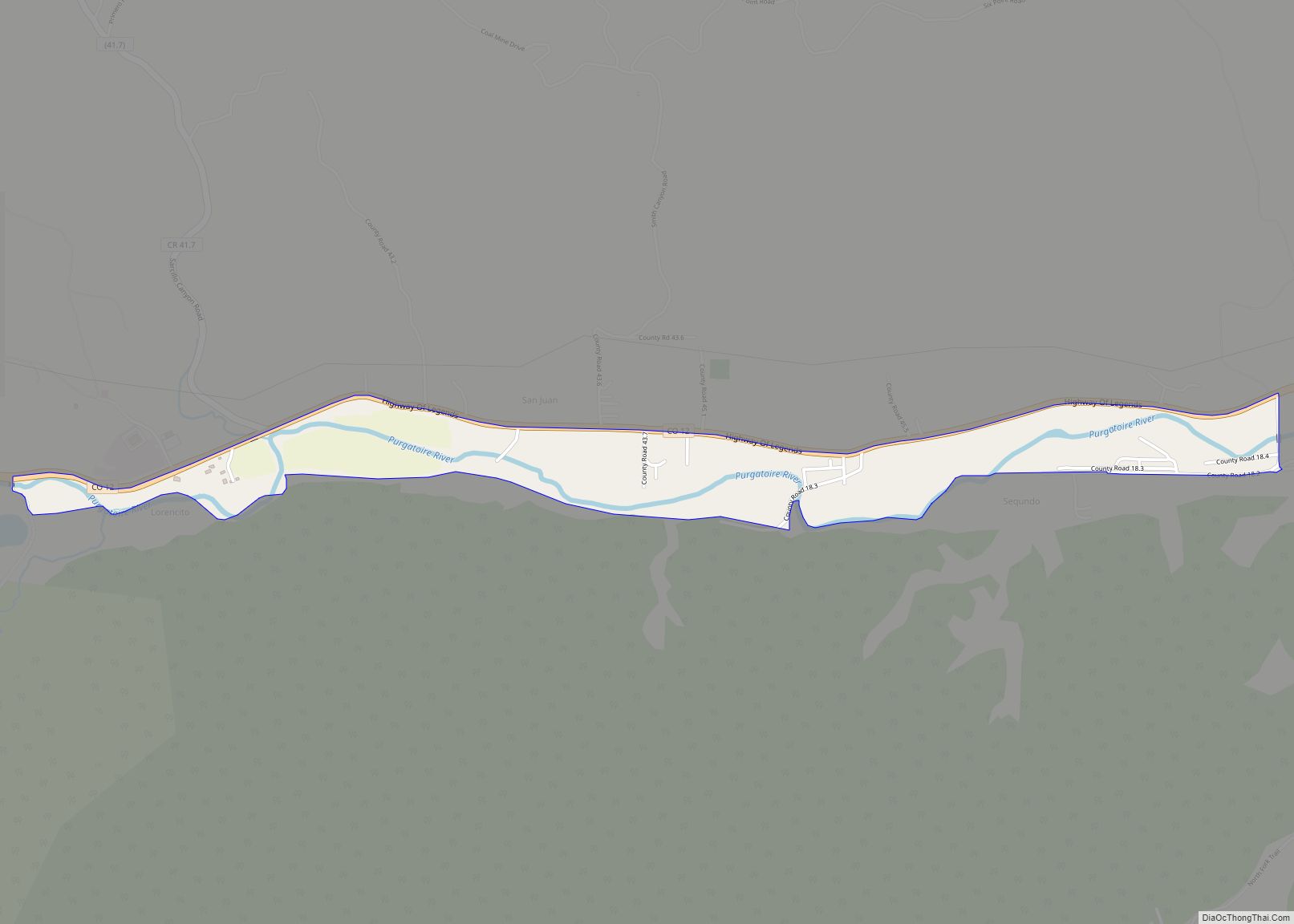
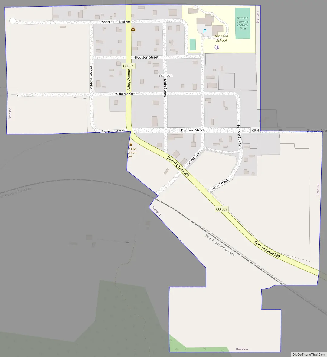
Branson Road Map
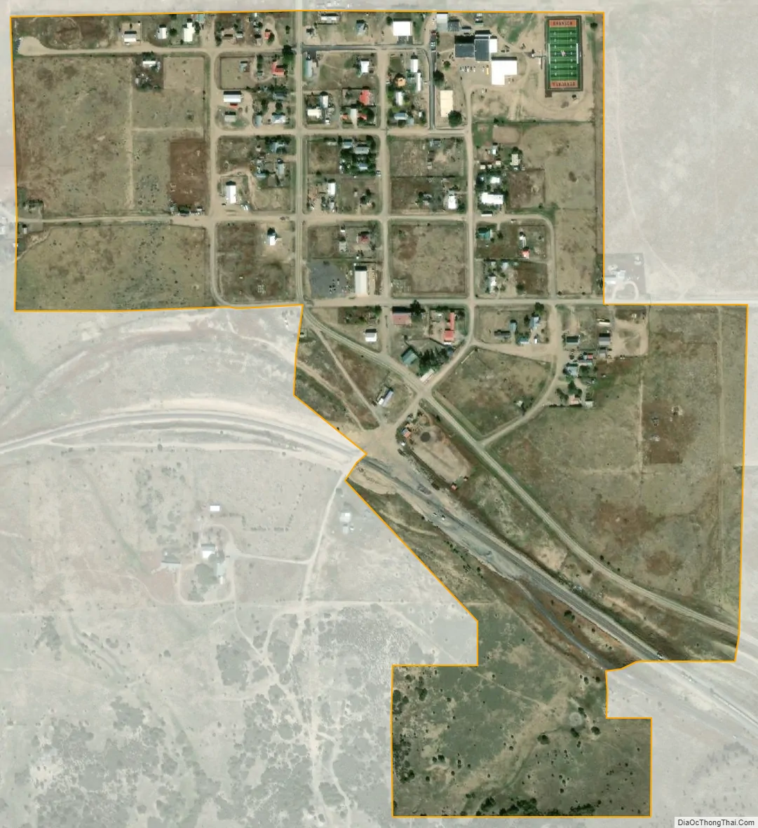
Branson city Satellite Map
Geography
Branson is located at 37°0′55″N 103°53′1″W / 37.01528°N 103.88361°W / 37.01528; -103.88361 (37.015291, -103.883684).
At the 2020 United States Census, the town had a total area of 157 acres (0.634 km), all of it land.
See also
Map of Colorado State and its subdivision:- Adams
- Alamosa
- Arapahoe
- Archuleta
- Baca
- Bent
- Boulder
- Broomfield
- Chaffee
- Cheyenne
- Clear Creek
- Conejos
- Costilla
- Crowley
- Custer
- Delta
- Denver
- Dolores
- Douglas
- Eagle
- El Paso
- Elbert
- Fremont
- Garfield
- Gilpin
- Grand
- Gunnison
- Hinsdale
- Huerfano
- Jackson
- Jefferson
- Kiowa
- Kit Carson
- La Plata
- Lake
- Larimer
- Las Animas
- Lincoln
- Logan
- Mesa
- Mineral
- Moffat
- Montezuma
- Montrose
- Morgan
- Otero
- Ouray
- Park
- Phillips
- Pitkin
- Prowers
- Pueblo
- Rio Blanco
- Rio Grande
- Routt
- Saguache
- San Juan
- San Miguel
- Sedgwick
- Summit
- Teller
- Washington
- Weld
- Yuma
- Alabama
- Alaska
- Arizona
- Arkansas
- California
- Colorado
- Connecticut
- Delaware
- District of Columbia
- Florida
- Georgia
- Hawaii
- Idaho
- Illinois
- Indiana
- Iowa
- Kansas
- Kentucky
- Louisiana
- Maine
- Maryland
- Massachusetts
- Michigan
- Minnesota
- Mississippi
- Missouri
- Montana
- Nebraska
- Nevada
- New Hampshire
- New Jersey
- New Mexico
- New York
- North Carolina
- North Dakota
- Ohio
- Oklahoma
- Oregon
- Pennsylvania
- Rhode Island
- South Carolina
- South Dakota
- Tennessee
- Texas
- Utah
- Vermont
- Virginia
- Washington
- West Virginia
- Wisconsin
- Wyoming