Brush is a Statutory City located in Morgan County, Colorado, United States. The city population was 5,339 at the 2020 United States Census. Brush is a part of the Fort Morgan, CO Micropolitan Statistical Area.
| Name: | Brush city |
|---|---|
| LSAD Code: | 25 |
| LSAD Description: | city (suffix) |
| State: | Colorado |
| County: | Morgan County |
| Incorporated: | November 24, 1884 |
| Elevation: | 4,239 ft (1,292 m) |
| Total Area: | 2.834 sq mi (7.339 km²) |
| Land Area: | 2.831 sq mi (7.331 km²) |
| Water Area: | 0.003 sq mi (0.008 km²) |
| Total Population: | 5,339 |
| Population Density: | 1,886/sq mi (728/km²) |
| ZIP code: | 80723 |
| Area code: | 970 |
| FIPS code: | 0809555 |
| GNISfeature ID: | 2409926 |
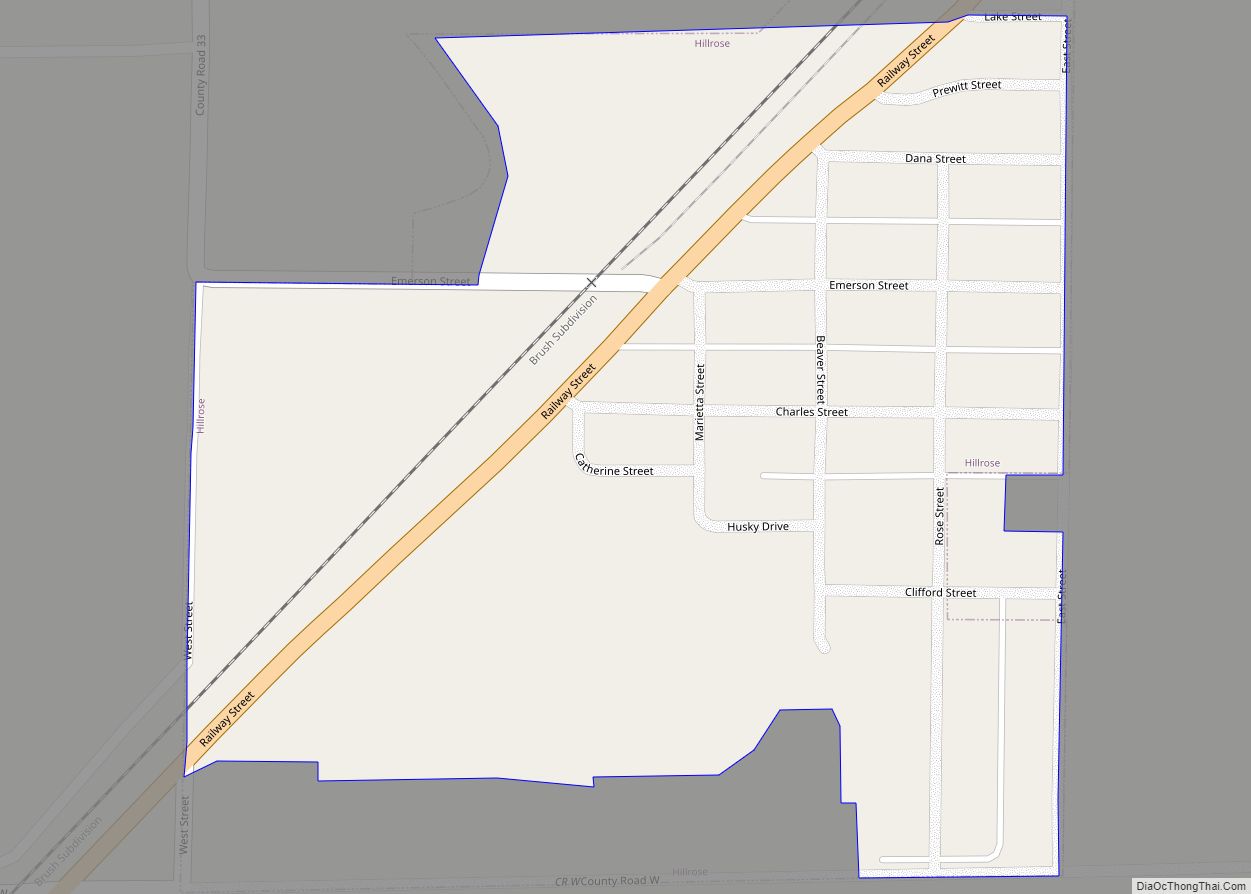
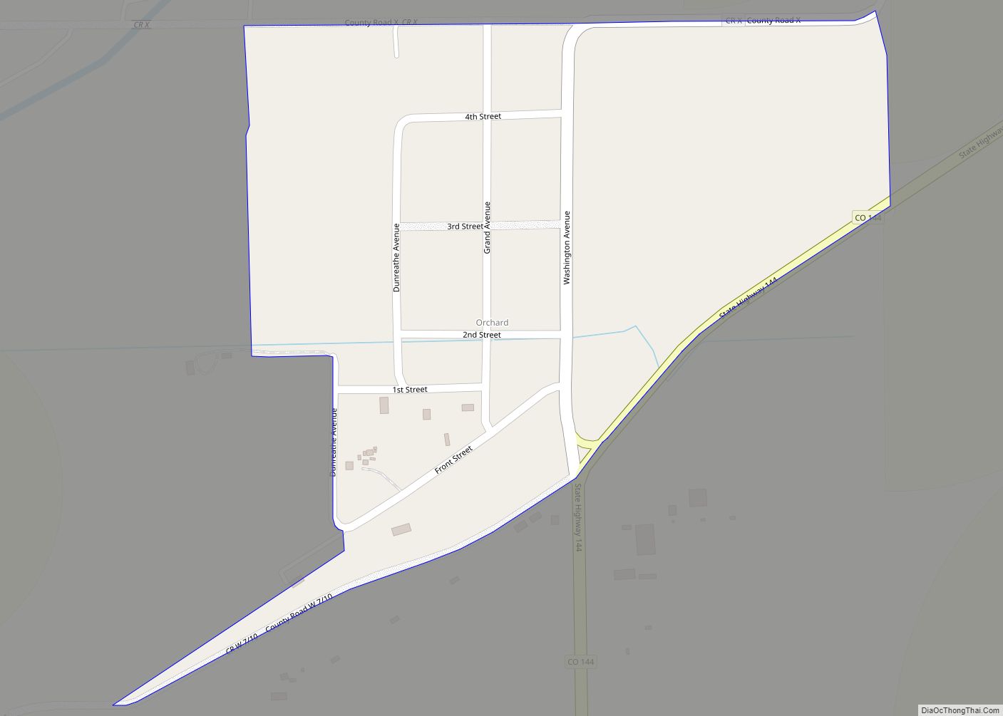
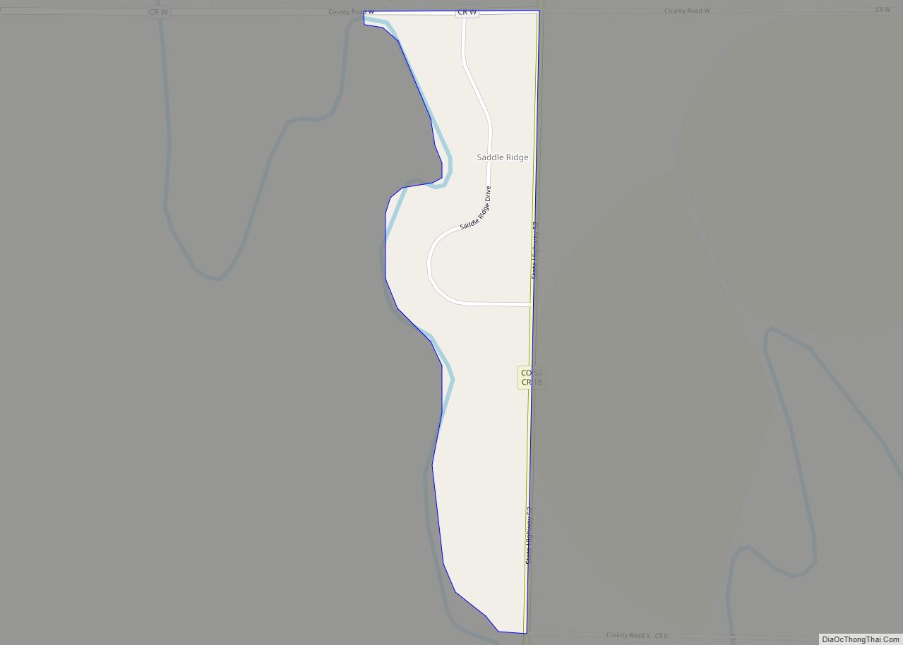
Online Interactive Map
Click on ![]() to view map in "full screen" mode.
to view map in "full screen" mode.
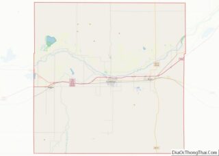
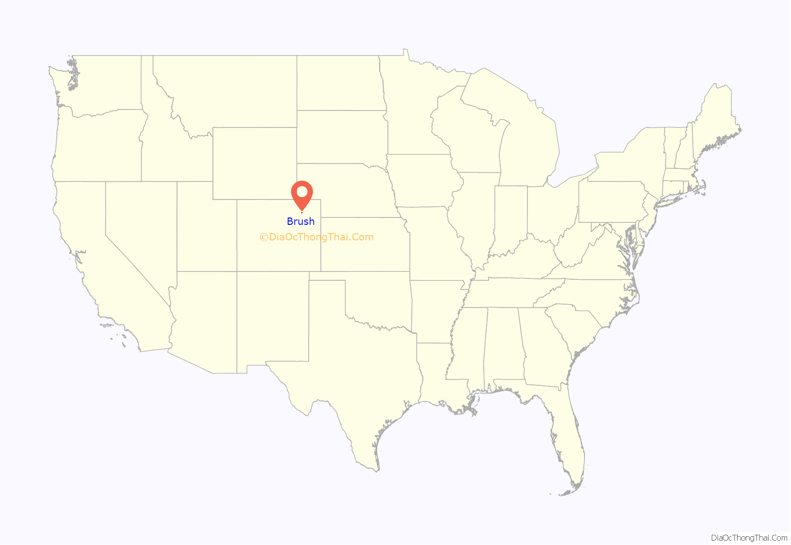
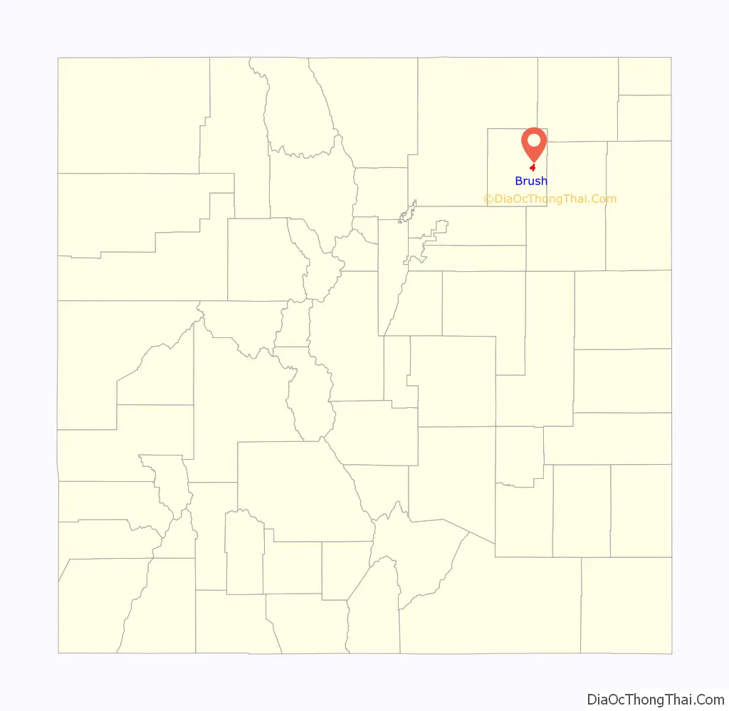
Brush location map. Where is Brush city?
History
Brush, Colorado was named for Jared L. Brush, who was a Colorado cattle pioneer. Brush had never lived in Brush, Colorado, instead helping to settle what is now known as Greeley. Brush later served as Lieutenant Governor of Colorado, and liked to visit “his town” often.
The town was incorporated by election in 1884.
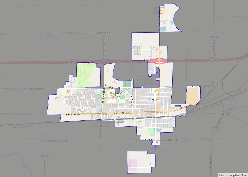
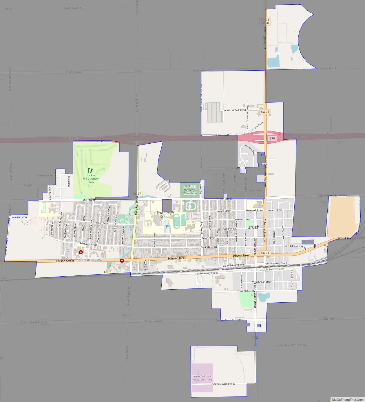
Brush Road Map
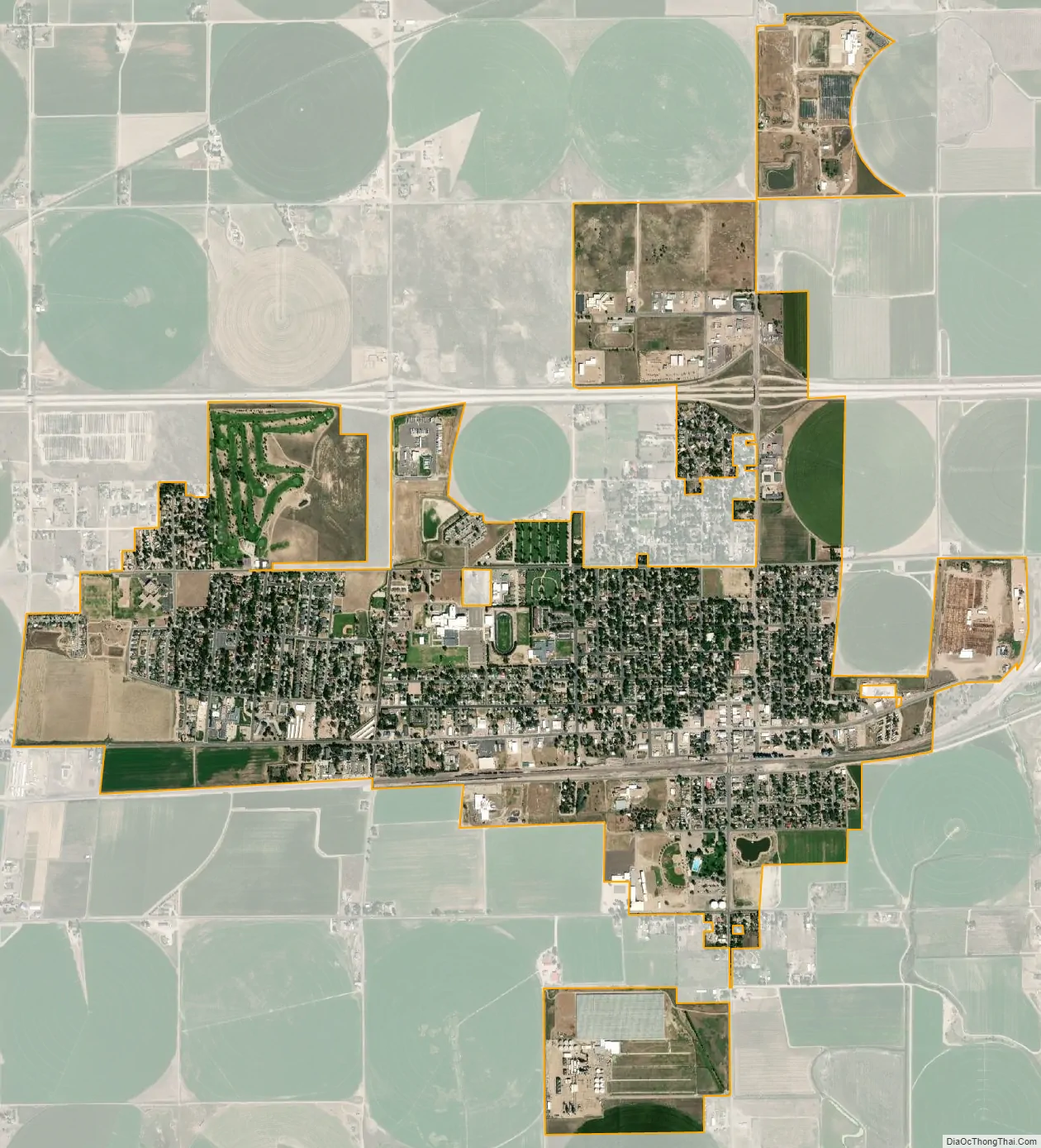
Brush city Satellite Map
Geography
Brush is located at 40°15′29″N 103°37′56″W / 40.25806°N 103.63222°W / 40.25806; -103.63222 (40.2581366, -103.6321598).
At the 2020 United States Census, the city had a total area of 1,814 acres (7.339 km) including 2.0 acres (0.008 km) of water.
Climate
According to the Köppen Climate Classification system, Brush has a semi-arid climate, abbreviated “BSk” on climate maps.
See also
Map of Colorado State and its subdivision:- Adams
- Alamosa
- Arapahoe
- Archuleta
- Baca
- Bent
- Boulder
- Broomfield
- Chaffee
- Cheyenne
- Clear Creek
- Conejos
- Costilla
- Crowley
- Custer
- Delta
- Denver
- Dolores
- Douglas
- Eagle
- El Paso
- Elbert
- Fremont
- Garfield
- Gilpin
- Grand
- Gunnison
- Hinsdale
- Huerfano
- Jackson
- Jefferson
- Kiowa
- Kit Carson
- La Plata
- Lake
- Larimer
- Las Animas
- Lincoln
- Logan
- Mesa
- Mineral
- Moffat
- Montezuma
- Montrose
- Morgan
- Otero
- Ouray
- Park
- Phillips
- Pitkin
- Prowers
- Pueblo
- Rio Blanco
- Rio Grande
- Routt
- Saguache
- San Juan
- San Miguel
- Sedgwick
- Summit
- Teller
- Washington
- Weld
- Yuma
- Alabama
- Alaska
- Arizona
- Arkansas
- California
- Colorado
- Connecticut
- Delaware
- District of Columbia
- Florida
- Georgia
- Hawaii
- Idaho
- Illinois
- Indiana
- Iowa
- Kansas
- Kentucky
- Louisiana
- Maine
- Maryland
- Massachusetts
- Michigan
- Minnesota
- Mississippi
- Missouri
- Montana
- Nebraska
- Nevada
- New Hampshire
- New Jersey
- New Mexico
- New York
- North Carolina
- North Dakota
- Ohio
- Oklahoma
- Oregon
- Pennsylvania
- Rhode Island
- South Carolina
- South Dakota
- Tennessee
- Texas
- Utah
- Vermont
- Virginia
- Washington
- West Virginia
- Wisconsin
- Wyoming