The Town of Buena Vista (BEW-na Vista) is a Statutory Town located in Chaffee County, Colorado, United States. The town population was 2,855 at the 2020 United States Census.
| Name: | Buena Vista town |
|---|---|
| LSAD Code: | 43 |
| LSAD Description: | town (suffix) |
| State: | Colorado |
| County: | Chaffee County |
| Incorporated: | November 8, 1879 |
| Elevation: | 7,965 ft (2,428 m) |
| Total Area: | 3.453 sq mi (8.942 km²) |
| Land Area: | 3.453 sq mi (8.942 km²) |
| Water Area: | 0.000 sq mi (0.000 km²) |
| Total Population: | 2,855 |
| Population Density: | 827/sq mi (319/km²) |
| ZIP code: | 81211 |
| Area code: | 719 |
| FIPS code: | 0810105 |
| Website: | www.buenavistaco.gov |
Online Interactive Map
Click on ![]() to view map in "full screen" mode.
to view map in "full screen" mode.
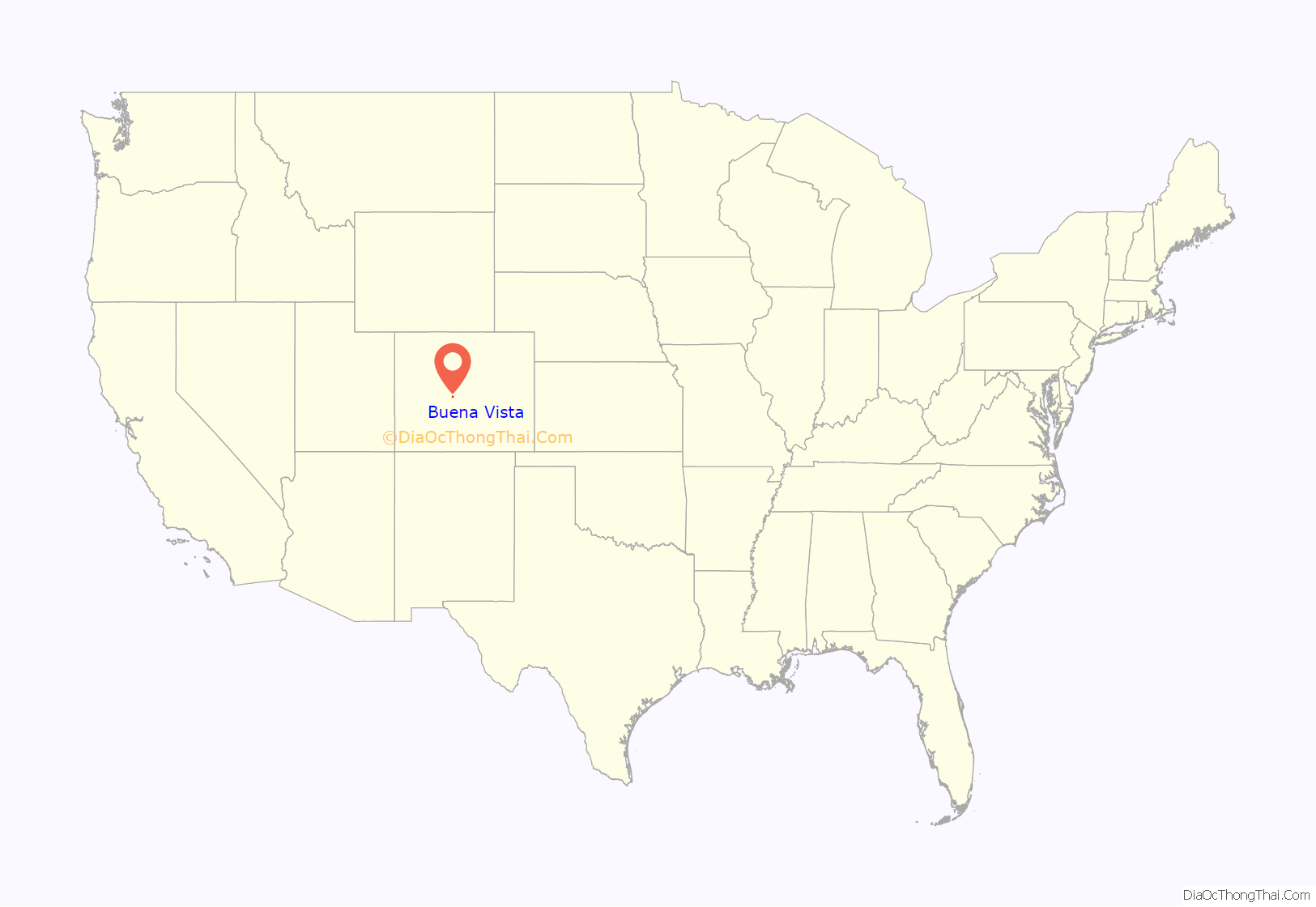
Buena Vista location map. Where is Buena Vista town?
History
The Arkansas River Valley and the area of what would become Buena Vista was first settled in 1864 by settlers drawn to the area by the plentiful water which made the land suitable for agriculture. By 1880, the county seat had moved from Granite to Buena Vista, but by 1928 Salida had a larger population so the county seat was moved once again. By 1894, Buena Vista had electricity, telephone service, street lights, parks, cemeteries, and schools. Travelers, speculators, and miners traveling up the Arkansas Valley towards Leadville made Buena Vista a popular stagecoach stop, and railroad depot following the 1890s. While certainly experiencing economic ups and downs, the valley’s agricultural economy has made the area more resistant to the ‘boom, bust’ cycle of mining towns.
Buena Vista is located in central Colorado roughly midway between Salida and Leadville in the Upper Arkansas River Valley at an elevation of 7,965 feet (2,428 m). The area between Buena Vista and Salida is often referred to as the Denver & Rio Grande, South Park & Pacific, and Colorado Midland railroads. Many of the existing buildings of Buena Vista date back to this era, and were built in the 1880s and 1890s.
The name “Buena Vista”, Spanish for “Good View”, can often be heard pronounced locally as “Byoo-na Vista”. This Americanized pronunciation was specified by Alsina Dearheimer, who chose this name for the town, which was officially selected over other names (Cottonwood, Mahonville) on the occasion of the town’s incorporation. Alternate pronunciations include “Bwenna Veesta” (Spanish pronunciation) and simply “Biewnie.” Many residents simply refer to the town as “BV”.
Trustees recall election
Then-Mayor Cara Russell wrote a column for the Chaffee County Times entitled “How big a payoff do you want?”, about the pros and cons of a local land development, on October 29, 2008. Several town trustees believed the vote to annex the Cottonwood Meadows development was lost by a mere 21 votes because of the mayor’s letter giving both the advantages and disadvantages of the real estate development.
The column prompted five of the six town trustees to present her with a letter of dismissal on November 10, 2008. Russell requested a hearing over her dismissal. Two weeks later, after the trustees determined that this was not the best course of action, having been informed by the mayor’s attorney that they could be in violation of the mayor’s First Amendment rights and subject to criminal charges, they voted to withdraw the letter of dismissal.
Russell was re-elected April 6, 2010, and resigned on April 20, 2010, to run for Chaffee County Clerk. On April 16, 2010, Russell filed a federal lawsuit against the town of Buena Vista and five town trustees for violation of her First Amendment rights.
On July 9, 2010, The Mountain Mail newspaper reported that the trustees denied the allegations and contended that they were, under legal doctrines, immune from the lawsuit. They also contended Russell’s public statements opposing the annexation were not protected by the First Amendment. Russell and the town of Buena Vista settled the lawsuit with the town paying an undisclosed amount and issuing an apology for violating her First Amendment rights.
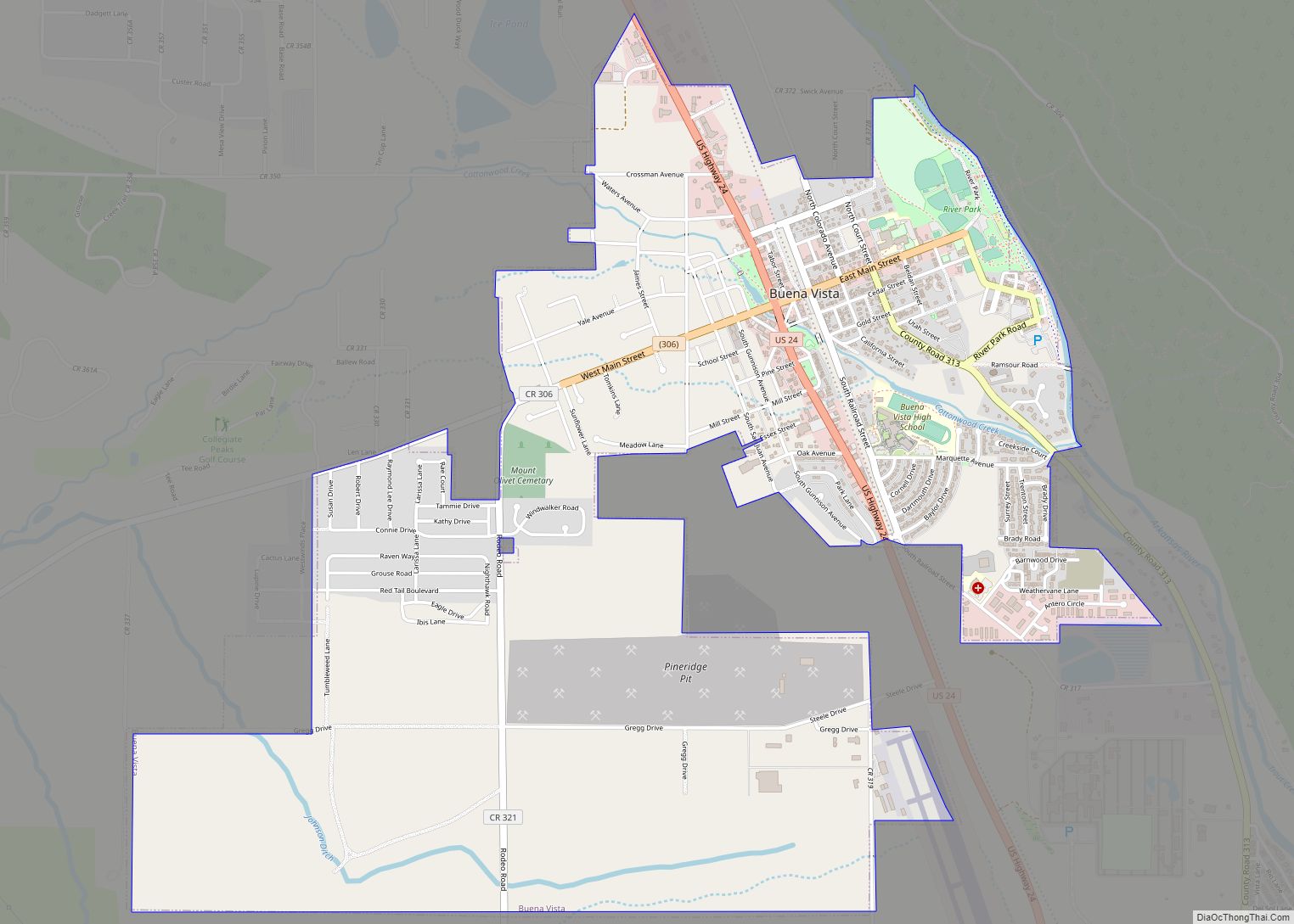
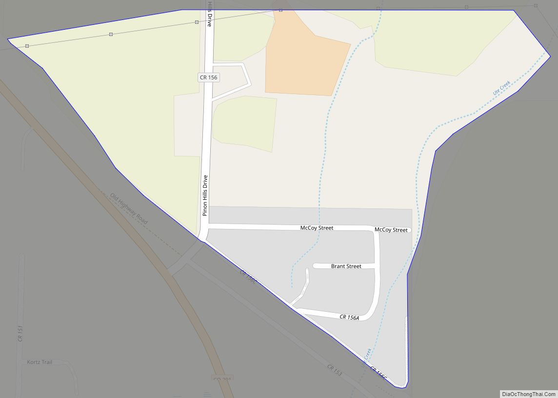
Buena Vista Road Map
Buena Vista city Satellite Map
Geography
Buena Vista is located in the Upper Arkansas River Valley at 38°49′46″N 106°08′22″W / 38.829332°N 106.139515°W / 38.829332; -106.139515 (38.829332 -106.139515).
At the 2020 United States Census, the town had a total area of 2,210 acres (8.942 km), all of it land.
Climate
Buena Vista has a Semi-arid climate (Köppen climate classification BSk), with cold, dry winters and warm, somewhat wetter summers. Altitude and dryness cause the diurnal temperature variation to be high year-round.
See also
Map of Colorado State and its subdivision:- Adams
- Alamosa
- Arapahoe
- Archuleta
- Baca
- Bent
- Boulder
- Broomfield
- Chaffee
- Cheyenne
- Clear Creek
- Conejos
- Costilla
- Crowley
- Custer
- Delta
- Denver
- Dolores
- Douglas
- Eagle
- El Paso
- Elbert
- Fremont
- Garfield
- Gilpin
- Grand
- Gunnison
- Hinsdale
- Huerfano
- Jackson
- Jefferson
- Kiowa
- Kit Carson
- La Plata
- Lake
- Larimer
- Las Animas
- Lincoln
- Logan
- Mesa
- Mineral
- Moffat
- Montezuma
- Montrose
- Morgan
- Otero
- Ouray
- Park
- Phillips
- Pitkin
- Prowers
- Pueblo
- Rio Blanco
- Rio Grande
- Routt
- Saguache
- San Juan
- San Miguel
- Sedgwick
- Summit
- Teller
- Washington
- Weld
- Yuma
- Alabama
- Alaska
- Arizona
- Arkansas
- California
- Colorado
- Connecticut
- Delaware
- District of Columbia
- Florida
- Georgia
- Hawaii
- Idaho
- Illinois
- Indiana
- Iowa
- Kansas
- Kentucky
- Louisiana
- Maine
- Maryland
- Massachusetts
- Michigan
- Minnesota
- Mississippi
- Missouri
- Montana
- Nebraska
- Nevada
- New Hampshire
- New Jersey
- New Mexico
- New York
- North Carolina
- North Dakota
- Ohio
- Oklahoma
- Oregon
- Pennsylvania
- Rhode Island
- South Carolina
- South Dakota
- Tennessee
- Texas
- Utah
- Vermont
- Virginia
- Washington
- West Virginia
- Wisconsin
- Wyoming
