The Town of Calhan is a Statutory Town located in El Paso County, Colorado, United States. The town population was 762 at the 2020 United States Census. Calhan is a part of the Colorado Springs, CO Metropolitan Statistical Area and the Front Range Urban Corridor. The town straddles U.S. Highway 24. With Calhan sitting at an elevation of 6,535 feet (1,992 meters) above sea level, Calhan is the highest non-mountain town in the United States. It is the site of the Calhan Paint Mines Archeological District, a popular natural attraction.
| Name: | Calhan town |
|---|---|
| LSAD Code: | 43 |
| LSAD Description: | town (suffix) |
| State: | Colorado |
| County: | El Paso County |
| Incorporated: | May 10, 1919 |
| Elevation: | 6,535 ft (1,992 m) |
| Total Area: | 0.828 sq mi (2.144 km²) |
| Land Area: | 0.828 sq mi (2.144 km²) |
| Water Area: | 0.000 sq mi (0.000 km²) |
| Total Population: | 762 |
| Population Density: | 921/sq mi (356/km²) |
| ZIP code: | 80808 |
| Area code: | 719 |
| FIPS code: | 0811260 |
| GNISfeature ID: | 0193304 |
| Website: | www.calhan.co |
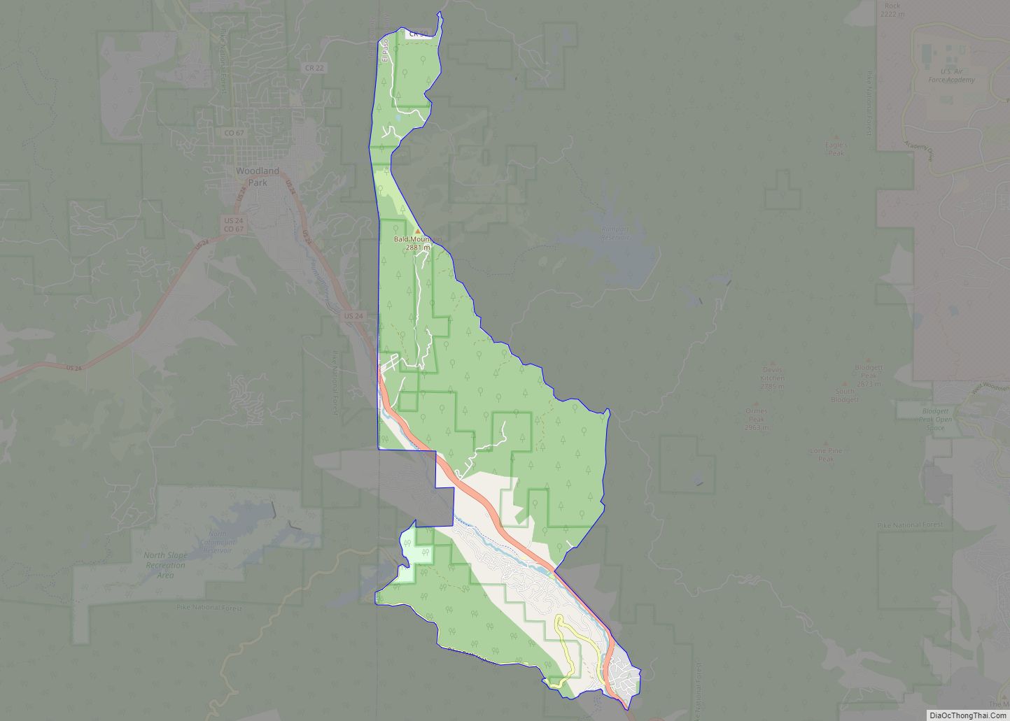
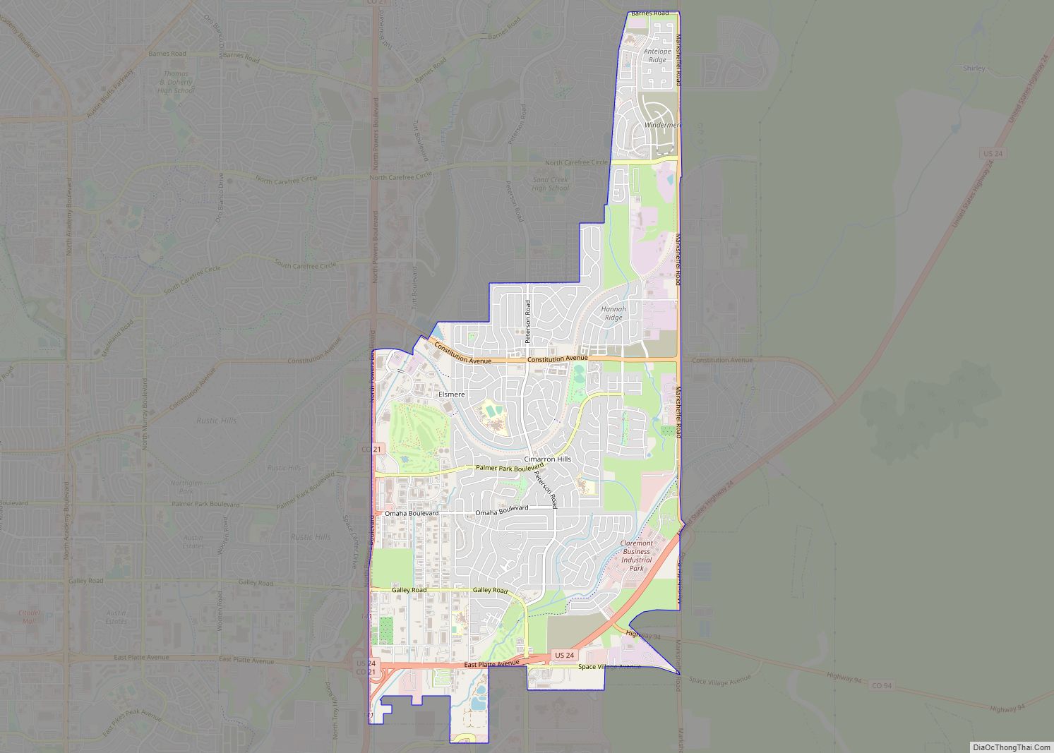
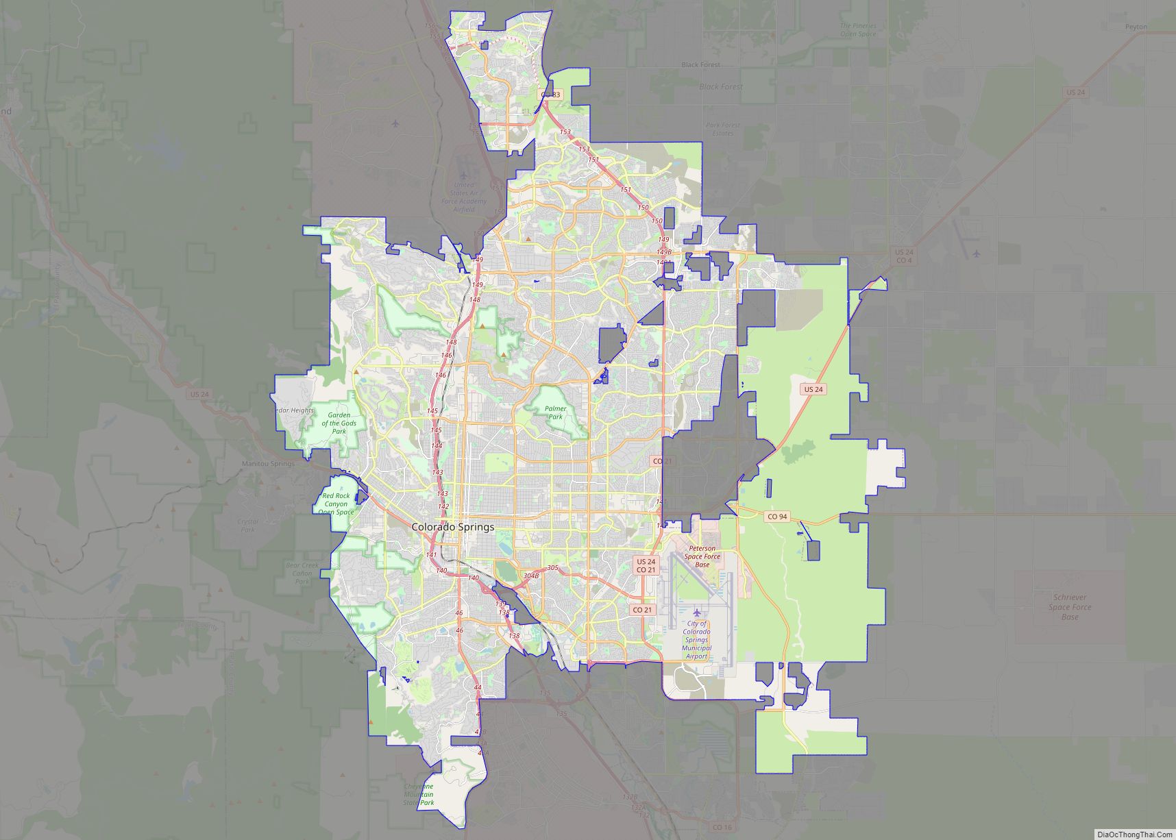
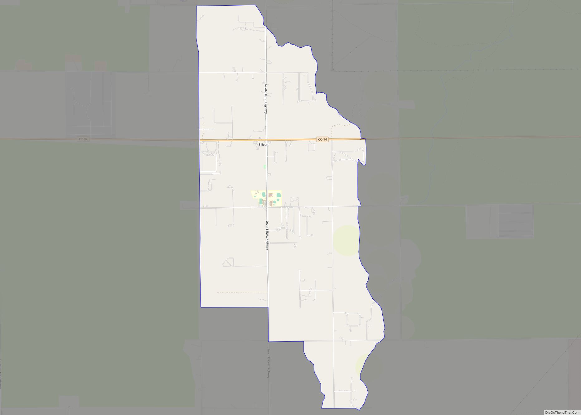
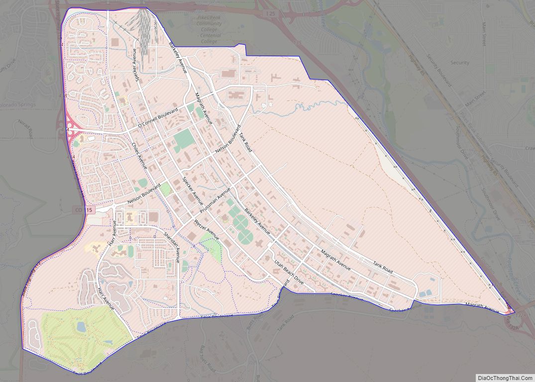
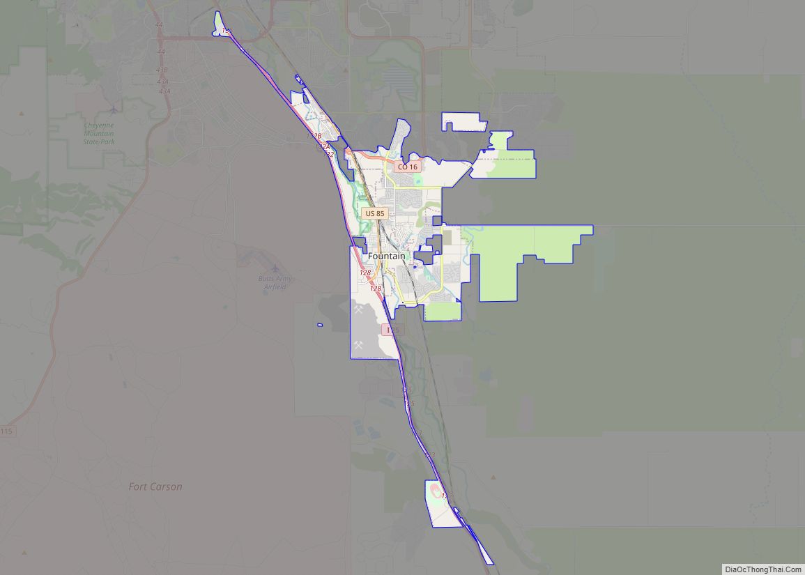
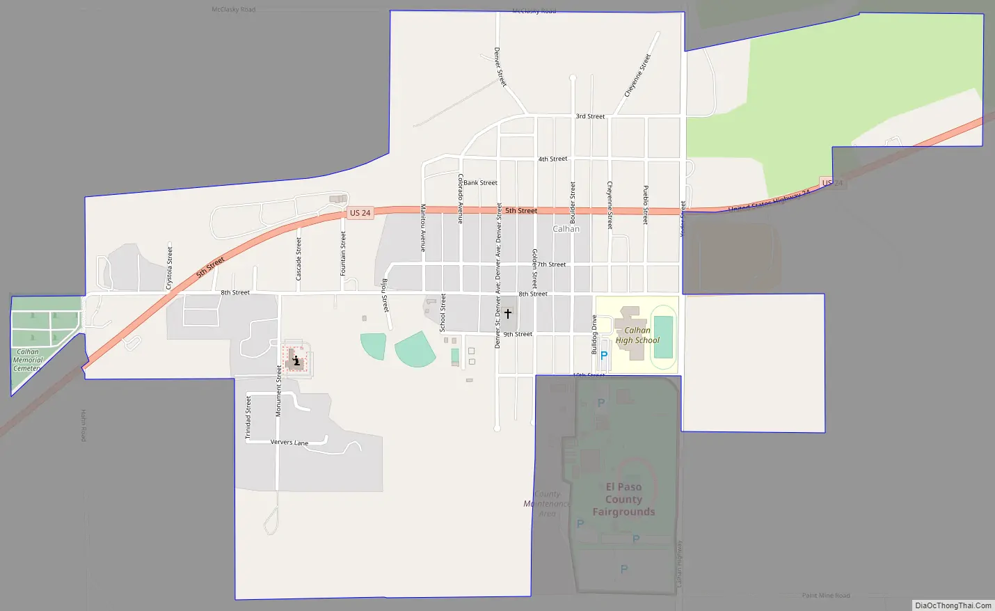
Online Interactive Map
Click on ![]() to view map in "full screen" mode.
to view map in "full screen" mode.
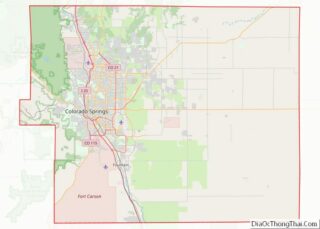
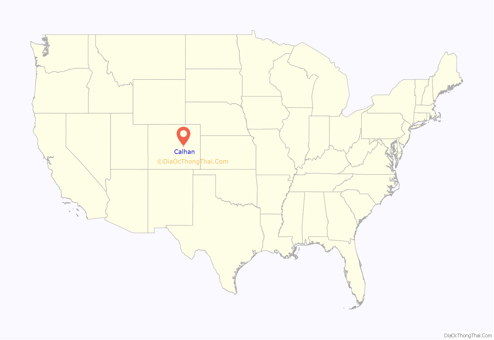
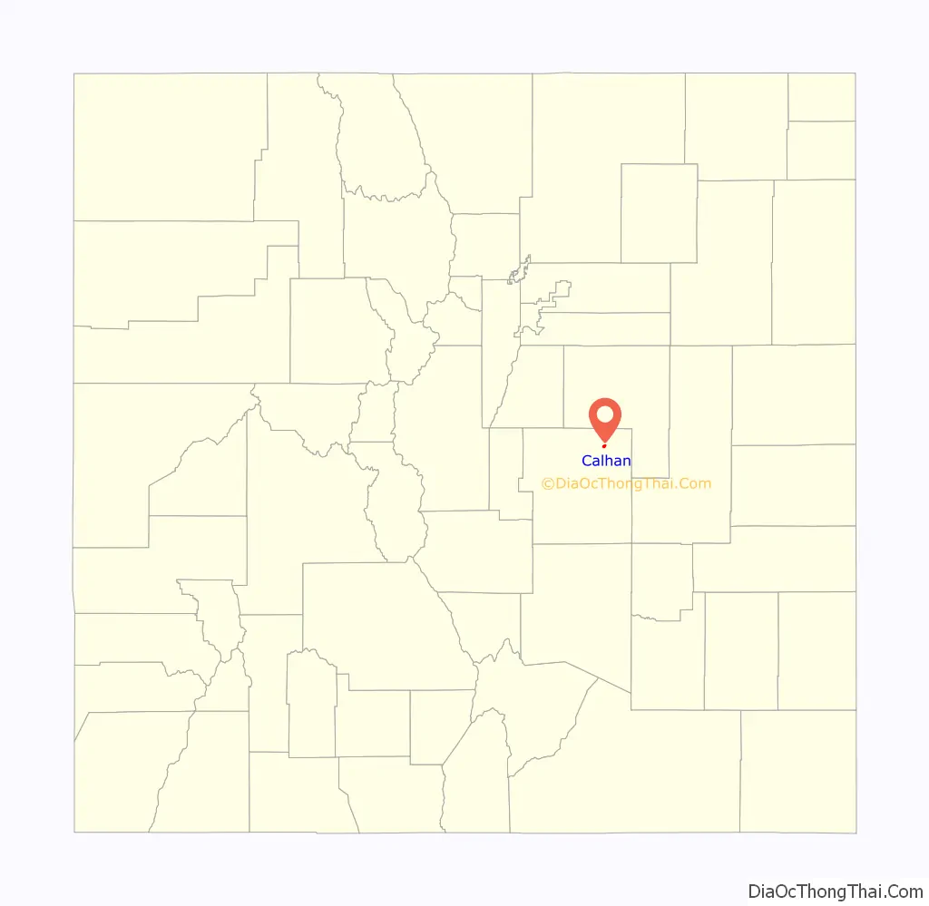
Calhan location map. Where is Calhan town?
History
Calhan was established in 1888 as a water station for the now-defunct Chicago, Rock Island and Pacific Railroad, with the first steam locomotive arriving on November 5, 1888. The town was named by and for Michael Calahan, who had the contract to lay railroad tracks from the Colorado/Kansas border to Colorado Springs. However, when the town’s first U.S. Post Office opened on November 24, 1888, the middle “a” had been dropped and the town was registered as “Calhan.” The town was incorporated as a Statutory Town in 1919. The town grew quickly, but it wasn’t until 1906 that the Calhan Rock Island Railroad Depot was built to meet the growing needs of the area.
Jesse N. Funk was a rancher in Calhan when the United States joined the First World War in 1917. Having enlisted in 1915, Private Funk was sent to France to support the Allied efforts at the Battle of Saint-Mihiel. There on 31 October 1918, Funk rescued two wounded officers from no man’s land while under machine gun fire, for which Funk received the Medal of Honor.
In 1993, the Orthodox Church in America established the Protection of the Holy Virgin community, a female monastic community. Until they moved further west to Lake George in 1995, the monastics rented a home in Calhan.
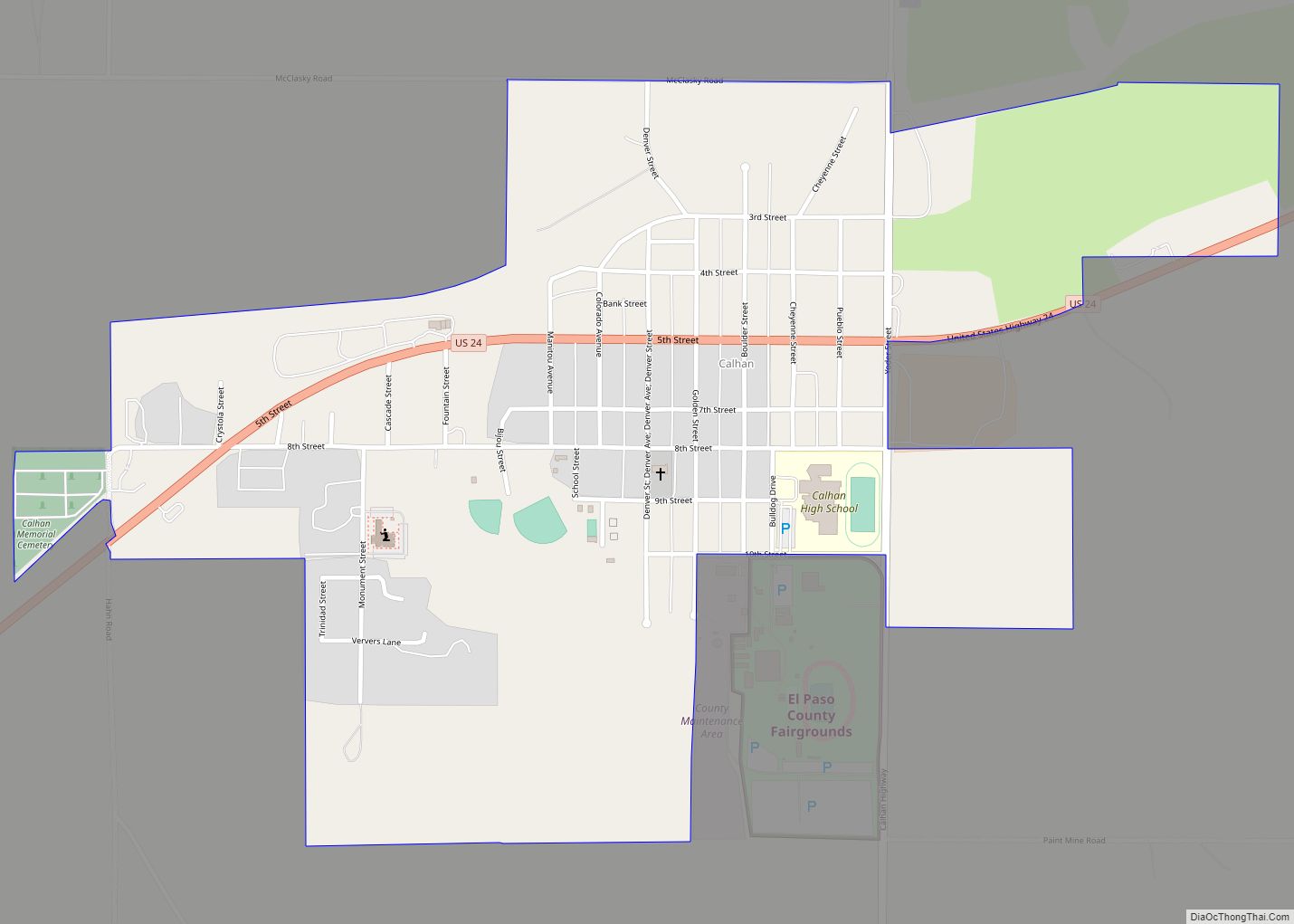
Calhan Road Map
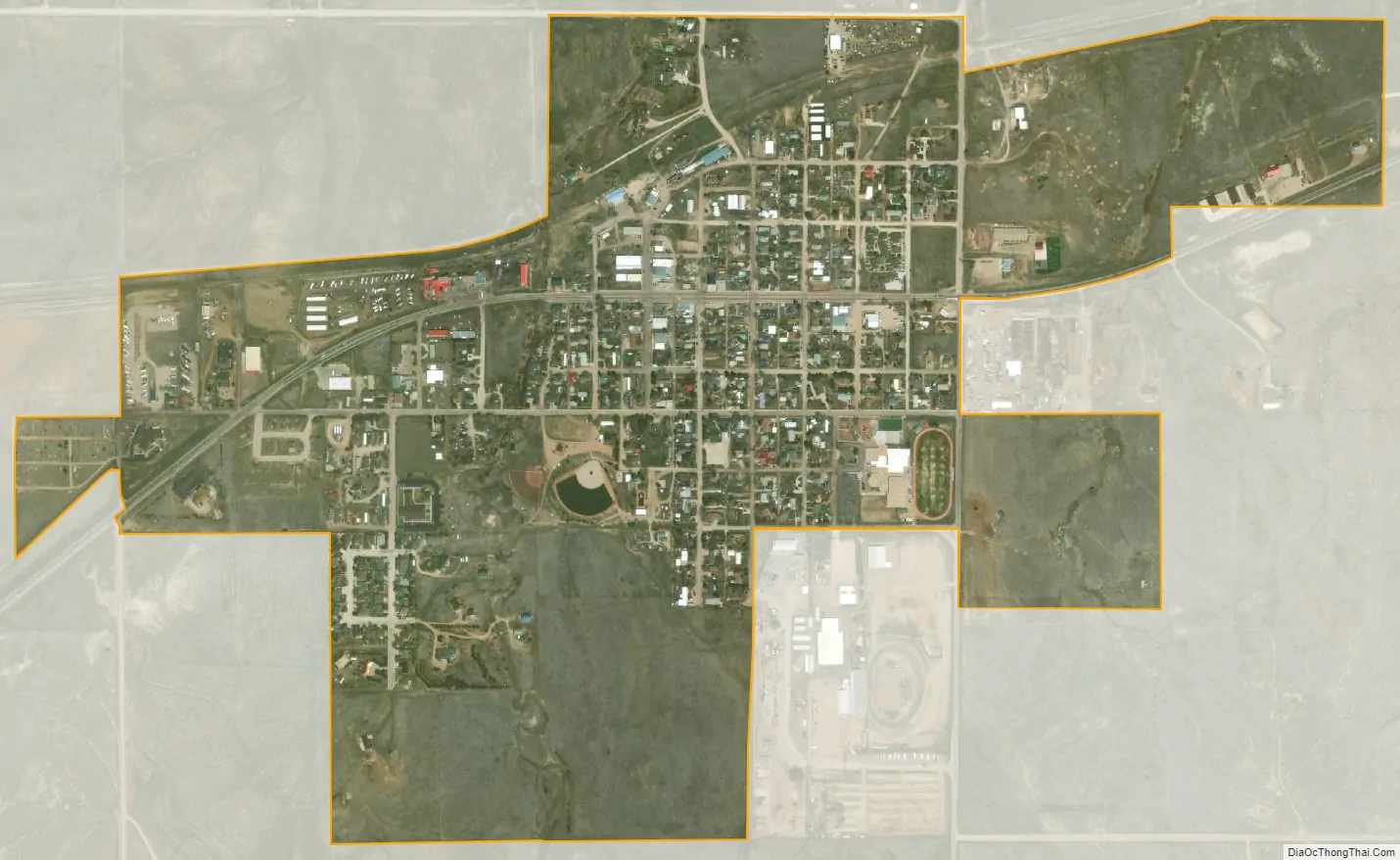
Calhan city Satellite Map
Geography
Calhan is located at 39°2′7″N 104°17′59″W / 39.03528°N 104.29972°W / 39.03528; -104.29972 (39.035395, -104.299835).
At the 2020 United States Census, the town had a total area of 530 acres (2.144 km), all of it land.
Climate
See also
Map of Colorado State and its subdivision:- Adams
- Alamosa
- Arapahoe
- Archuleta
- Baca
- Bent
- Boulder
- Broomfield
- Chaffee
- Cheyenne
- Clear Creek
- Conejos
- Costilla
- Crowley
- Custer
- Delta
- Denver
- Dolores
- Douglas
- Eagle
- El Paso
- Elbert
- Fremont
- Garfield
- Gilpin
- Grand
- Gunnison
- Hinsdale
- Huerfano
- Jackson
- Jefferson
- Kiowa
- Kit Carson
- La Plata
- Lake
- Larimer
- Las Animas
- Lincoln
- Logan
- Mesa
- Mineral
- Moffat
- Montezuma
- Montrose
- Morgan
- Otero
- Ouray
- Park
- Phillips
- Pitkin
- Prowers
- Pueblo
- Rio Blanco
- Rio Grande
- Routt
- Saguache
- San Juan
- San Miguel
- Sedgwick
- Summit
- Teller
- Washington
- Weld
- Yuma
- Alabama
- Alaska
- Arizona
- Arkansas
- California
- Colorado
- Connecticut
- Delaware
- District of Columbia
- Florida
- Georgia
- Hawaii
- Idaho
- Illinois
- Indiana
- Iowa
- Kansas
- Kentucky
- Louisiana
- Maine
- Maryland
- Massachusetts
- Michigan
- Minnesota
- Mississippi
- Missouri
- Montana
- Nebraska
- Nevada
- New Hampshire
- New Jersey
- New Mexico
- New York
- North Carolina
- North Dakota
- Ohio
- Oklahoma
- Oregon
- Pennsylvania
- Rhode Island
- South Carolina
- South Dakota
- Tennessee
- Texas
- Utah
- Vermont
- Virginia
- Washington
- West Virginia
- Wisconsin
- Wyoming