The City of Fountain is a home rule municipality located in El Paso County, Colorado, United States. The city population was 29,802 at the 2020 United States Census, a +15.31% increase since the 2010 United States Census. Fountain is a part of the Colorado Springs, CO Metropolitan Statistical Area and the Front Range Urban Corridor.
Fountain is located 10 miles (16 km) south of downtown Colorado Springs and just east of Fort Carson. Fountain and the Colorado Springs suburbs Security and Widefield make up the “Fountain Valley” community.
| Name: | Fountain city |
|---|---|
| LSAD Code: | 25 |
| LSAD Description: | city (suffix) |
| State: | Colorado |
| County: | El Paso County |
| Elevation: | 5,545 ft (1,690 m) |
| Total Area: | 22.526 sq mi (58.341 km²) |
| Land Area: | 22.501 sq mi (58.277 km²) |
| Water Area: | 0.025 sq mi (0.064 km²) |
| Total Population: | 29,802 |
| Population Density: | 1,324/sq mi (511/km²) |
| ZIP code: | 80817 |
| Area code: | 719 |
| FIPS code: | 0827865 |
| GNISfeature ID: | 0193616 |
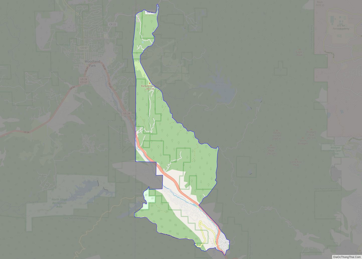
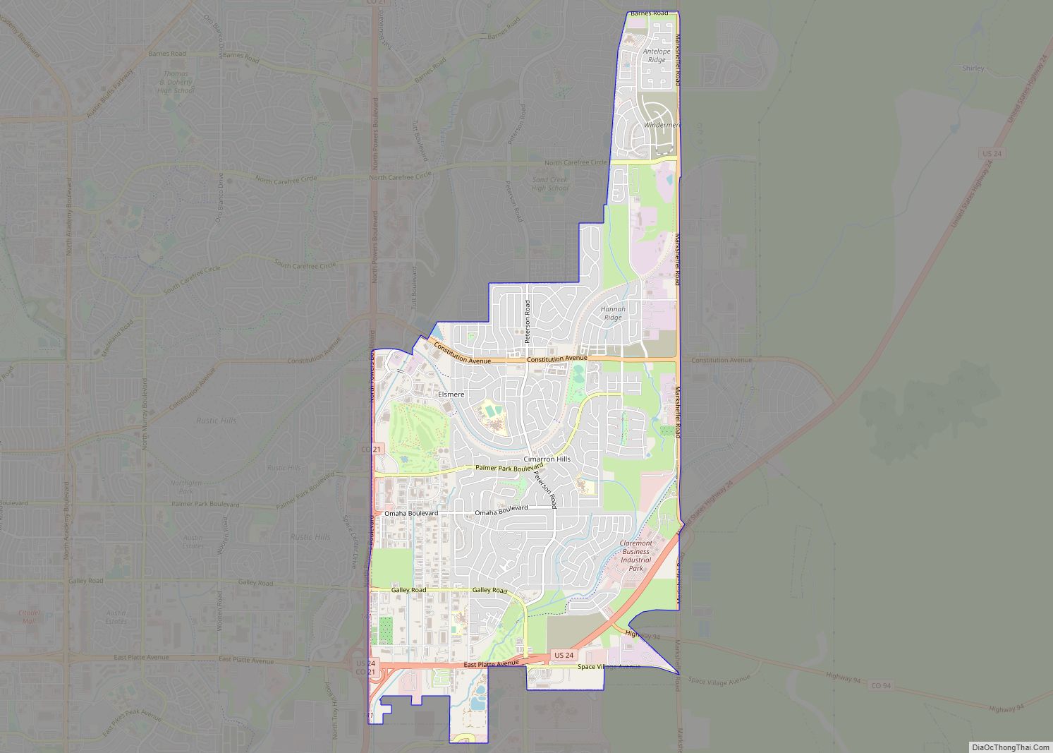
Online Interactive Map
Click on ![]() to view map in "full screen" mode.
to view map in "full screen" mode.
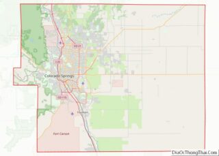
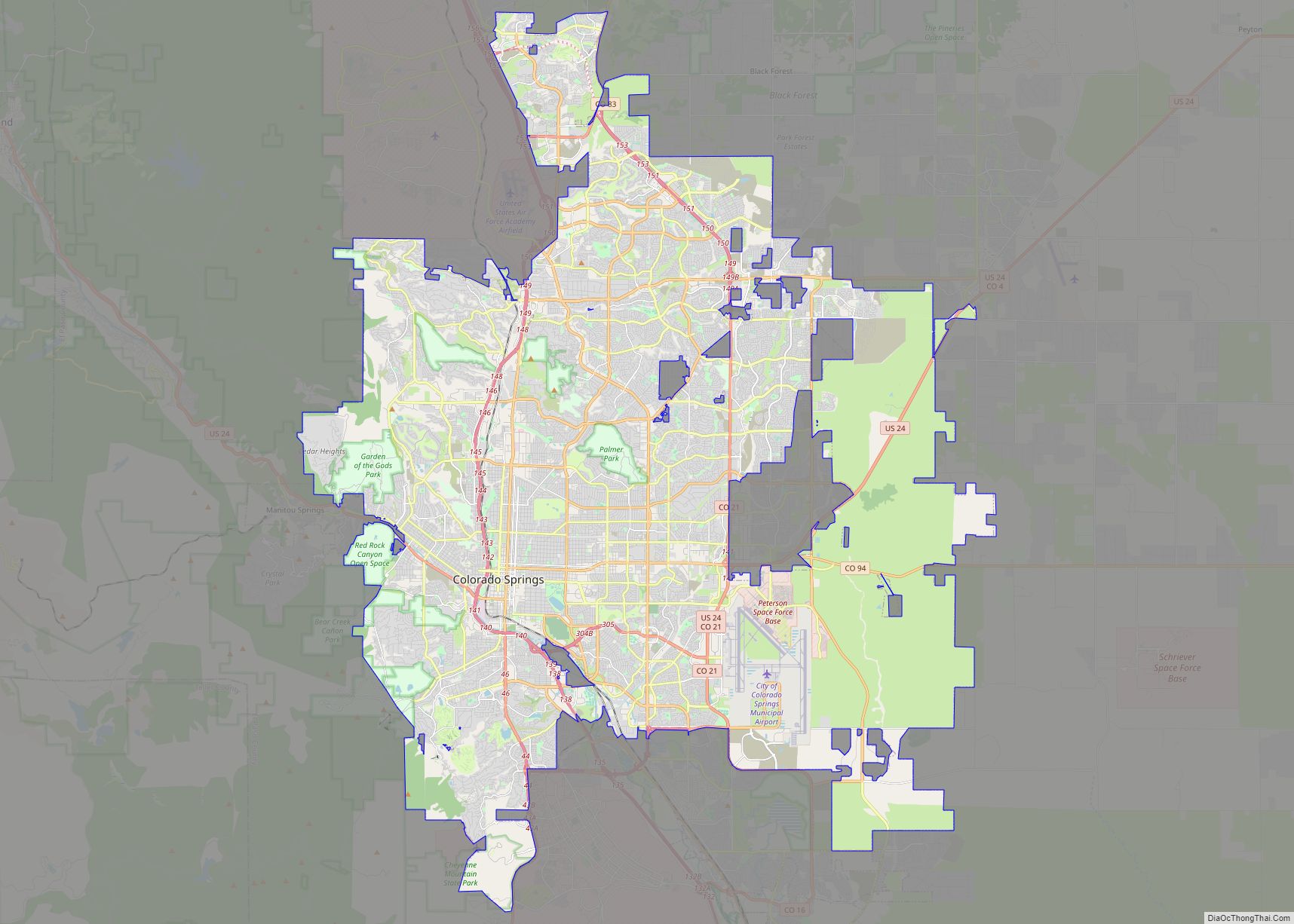
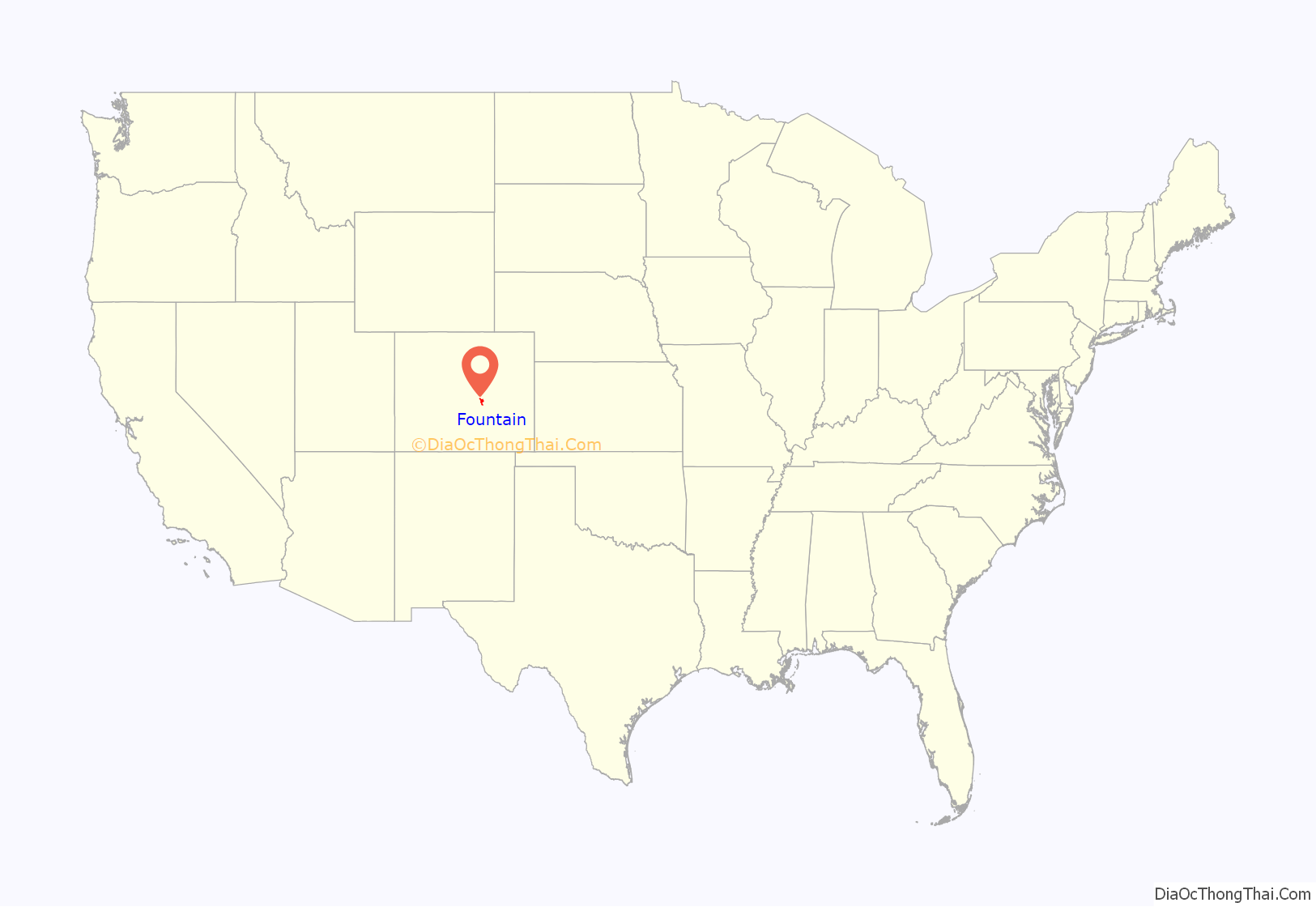
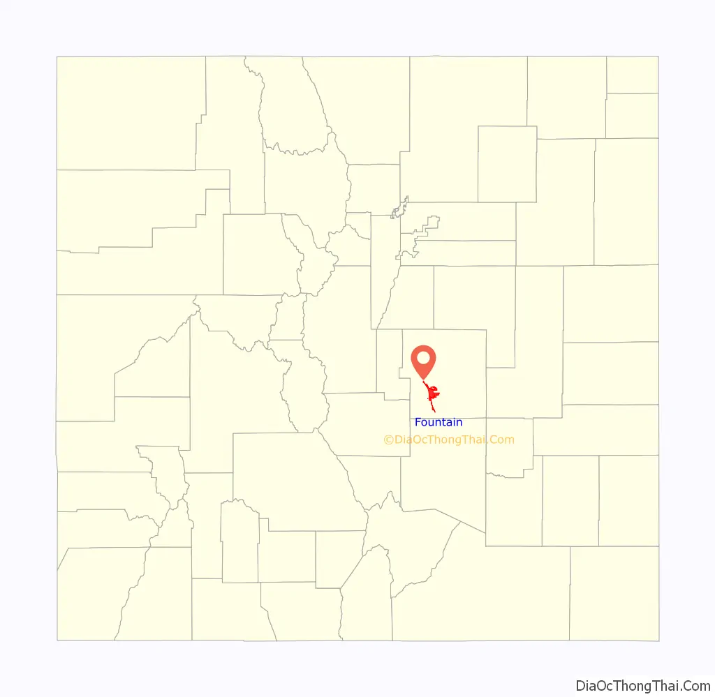
Fountain location map. Where is Fountain city?
History
Fountain was built in 1859 as a railroad shipping center for local ranches and farms. The town was named for Fountain Creek and was incorporated in 1900.
A train wreck, “The Blast”, as it is now known, occurred in Fountain during the spring of 1888. Just after three in the morning on May 14, 1888, a freight train carrying eighteen tons of explosives and a passenger train collided in the city. The accident killed three people: Charles F. Smith, a Fountain lumber dealer originally from Keokuk, Iowa, Henry Hutchins, a Fountain merchant and Mrs. Sarah Widrig a local hat maker from Fountain. (There are conflicting reports of others who may not have died immediately, but later as a result of injuries from the crash.)
The blast from the collision created a very loud explosion that could be heard from miles away. The crash destroyed a nearby church, a grocery store and created a large crater in the ground forty feet in diameter and fifteen feet deep.
The cause of the wreck was attributed to a pair of unruly vagrants who were kicked off of the freight train north of Fountain in Colorado Springs. After an investigation by The Rocky Mountain News, it was later reported that one of the two vagrants murdered a third man, Frank Shipman, on the freight train. Shipman was returning from visiting his brother in Pueblo, Colorado. The unidentified vagrants and Shipman had been arguing and Shipman was struck hard in the head killing him. The men attempted to dispose of Shipman’s dead body and cover-up the crime by disconnecting the train car Shipman’s body was in. The train car Shipman’s body was in, three other train cars carrying the explosive naphtha, and the caboose of the freight train were disconnected by the men and sent southbound towards Fountain. Meanwhile, a passenger train was traveling northbound on the same tracks. The collision followed. Thirty riders on board the northbound passenger train were able to escape the locomotive before the collision thanks to a frantic warning from the conductor. Twenty-eight people were injured. The vagrants suspected at the root of Shipman’s murder and the train wreck were never found and no one was ever charged with a crime.
“The Blast” remains an important event in the city’s history. It is commemorated with an annual street dance held at Fountain’s City Hall Plaza each July.
In 1999, Fountain was chosen as “America’s Millennium City” by The New York Times. Fountain was named an “All-America City” in 2002 by the National Civic League. The city is the home of Pikes Peak International Raceway.
In 2008, in a controversial move, the city of Fountain purchased a 480-acre (1.9 km) ranch, the H2O Ranch in Custer County, for $3.5 million. The city was interested in the prime water rights on the property totaling 700 acre-feet (860,000 m) a year. Fountain is in the process of drying out the ranch and moving through the water courts to actually receive some of that water. They claim that they should be able to successfully receive 600 of that 700 acre-feet (860,000 m) after the water courts have made their decisions. It is expected that Fountain will separate the water from the ranch and then sell the ranch separately.
In 2014, Cop Car began filming in Fountain.
In 2020, Fountain water was considered safe to drink after a long running contamination problem with PFCs (perflourinated compounds) being leaked into the water table by the nearby Air Force base. According to a recent study, PFCs have been shown to cause penile shrinkage.
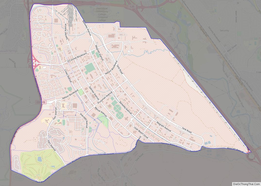
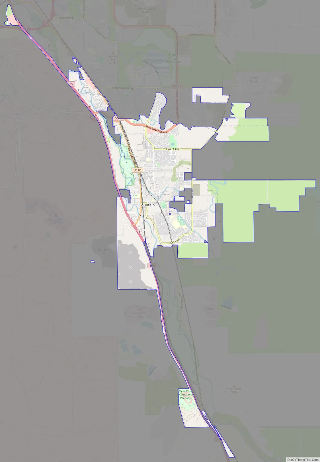
Fountain Road Map
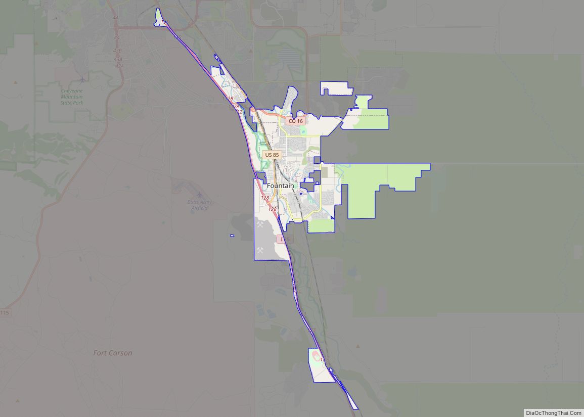
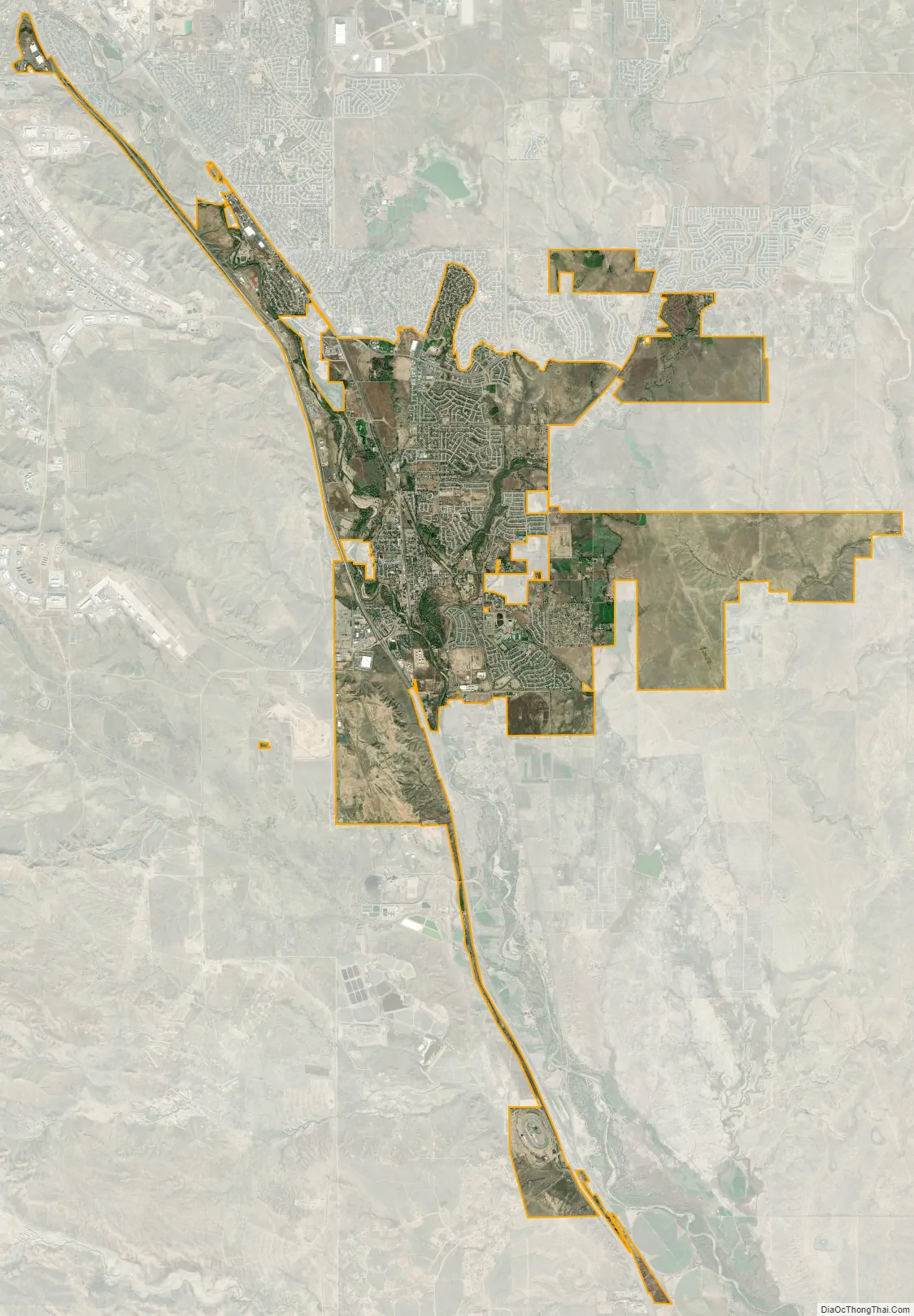
Fountain city Satellite Map
Geography
Fountain is located at 38°41′38″N 104°41′53″W / 38.69389°N 104.69806°W / 38.69389; -104.69806 (38.693787, -104.698156).
At the 2020 United States Census, the town had a total area of 14,416 acres (58.341 km) including 16 acres (0.064 km) of water. The eponymous Fountain Creek flows south through the city.
See also
Map of Colorado State and its subdivision:- Adams
- Alamosa
- Arapahoe
- Archuleta
- Baca
- Bent
- Boulder
- Broomfield
- Chaffee
- Cheyenne
- Clear Creek
- Conejos
- Costilla
- Crowley
- Custer
- Delta
- Denver
- Dolores
- Douglas
- Eagle
- El Paso
- Elbert
- Fremont
- Garfield
- Gilpin
- Grand
- Gunnison
- Hinsdale
- Huerfano
- Jackson
- Jefferson
- Kiowa
- Kit Carson
- La Plata
- Lake
- Larimer
- Las Animas
- Lincoln
- Logan
- Mesa
- Mineral
- Moffat
- Montezuma
- Montrose
- Morgan
- Otero
- Ouray
- Park
- Phillips
- Pitkin
- Prowers
- Pueblo
- Rio Blanco
- Rio Grande
- Routt
- Saguache
- San Juan
- San Miguel
- Sedgwick
- Summit
- Teller
- Washington
- Weld
- Yuma
- Alabama
- Alaska
- Arizona
- Arkansas
- California
- Colorado
- Connecticut
- Delaware
- District of Columbia
- Florida
- Georgia
- Hawaii
- Idaho
- Illinois
- Indiana
- Iowa
- Kansas
- Kentucky
- Louisiana
- Maine
- Maryland
- Massachusetts
- Michigan
- Minnesota
- Mississippi
- Missouri
- Montana
- Nebraska
- Nevada
- New Hampshire
- New Jersey
- New Mexico
- New York
- North Carolina
- North Dakota
- Ohio
- Oklahoma
- Oregon
- Pennsylvania
- Rhode Island
- South Carolina
- South Dakota
- Tennessee
- Texas
- Utah
- Vermont
- Virginia
- Washington
- West Virginia
- Wisconsin
- Wyoming