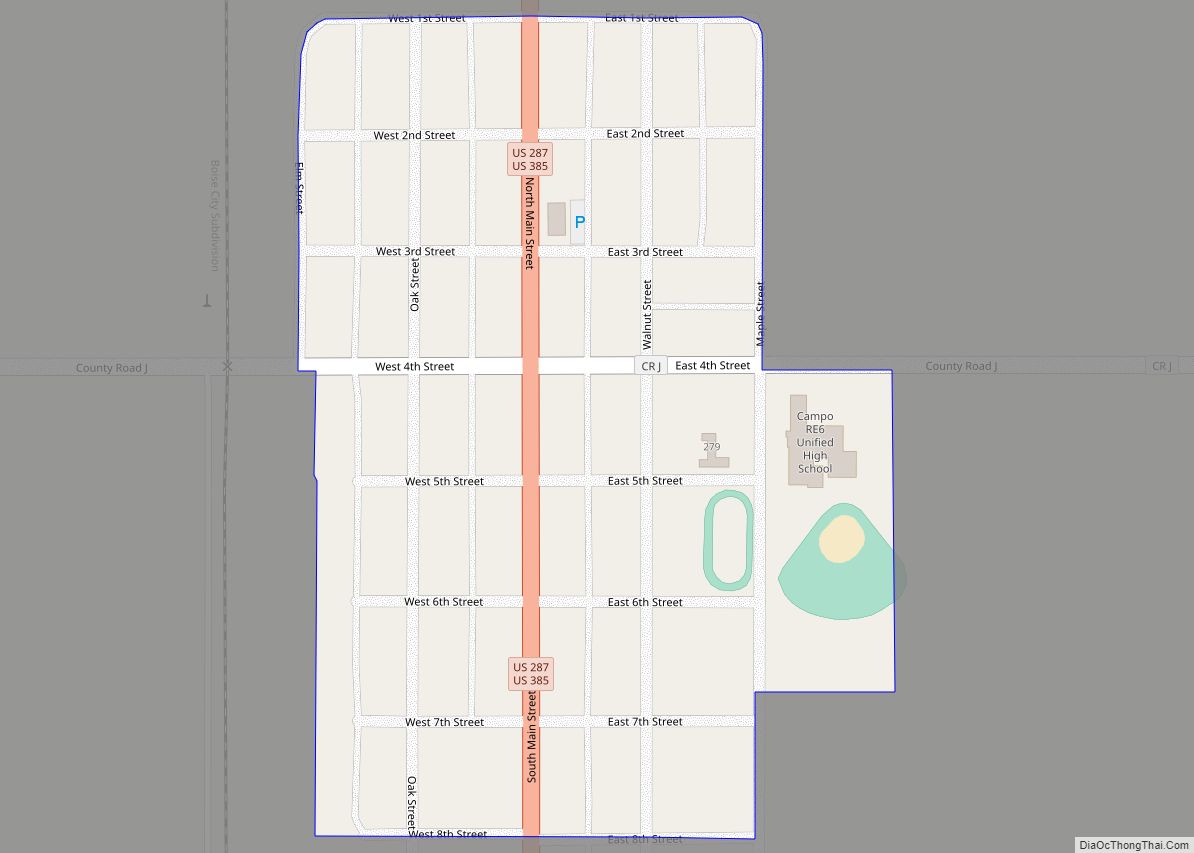
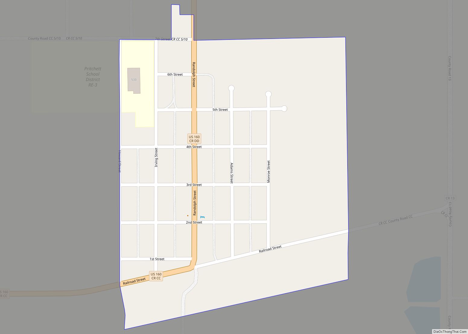
The Town of Campo is a Statutory Town located in Baca County, Colorado, United States. The town population was 103 at the 2020 United States Census. The town is situated on the High Plains, straddling U.S. Route 287/385.
| Name: | Campo town |
|---|---|
| LSAD Code: | 43 |
| LSAD Description: | town (suffix) |
| State: | Colorado |
| County: | Baca County |
| Incorporated: | March 6, 1950 |
| Elevation: | 4,344 ft (1,324 m) |
| Total Area: | 0.144 sq mi (0.374 km²) |
| Land Area: | 0.144 sq mi (0.374 km²) |
| Water Area: | 0.000 sq mi (0.000 km²) |
| Total Population: | 103 |
| Population Density: | 713/sq mi (275/km²) |
| ZIP code: | 81029 |
| Area code: | 719 |
| FIPS code: | 0811645 |
| GNISfeature ID: | 0196360 |
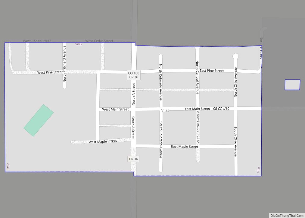
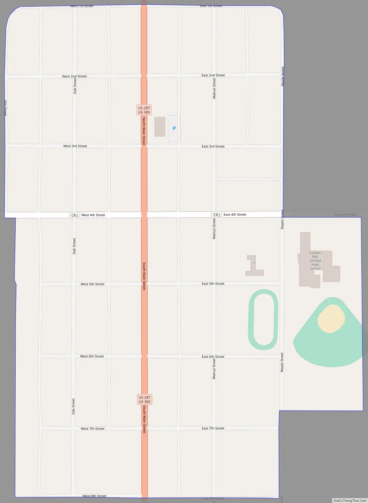
Online Interactive Map
Click on ![]() to view map in "full screen" mode.
to view map in "full screen" mode.
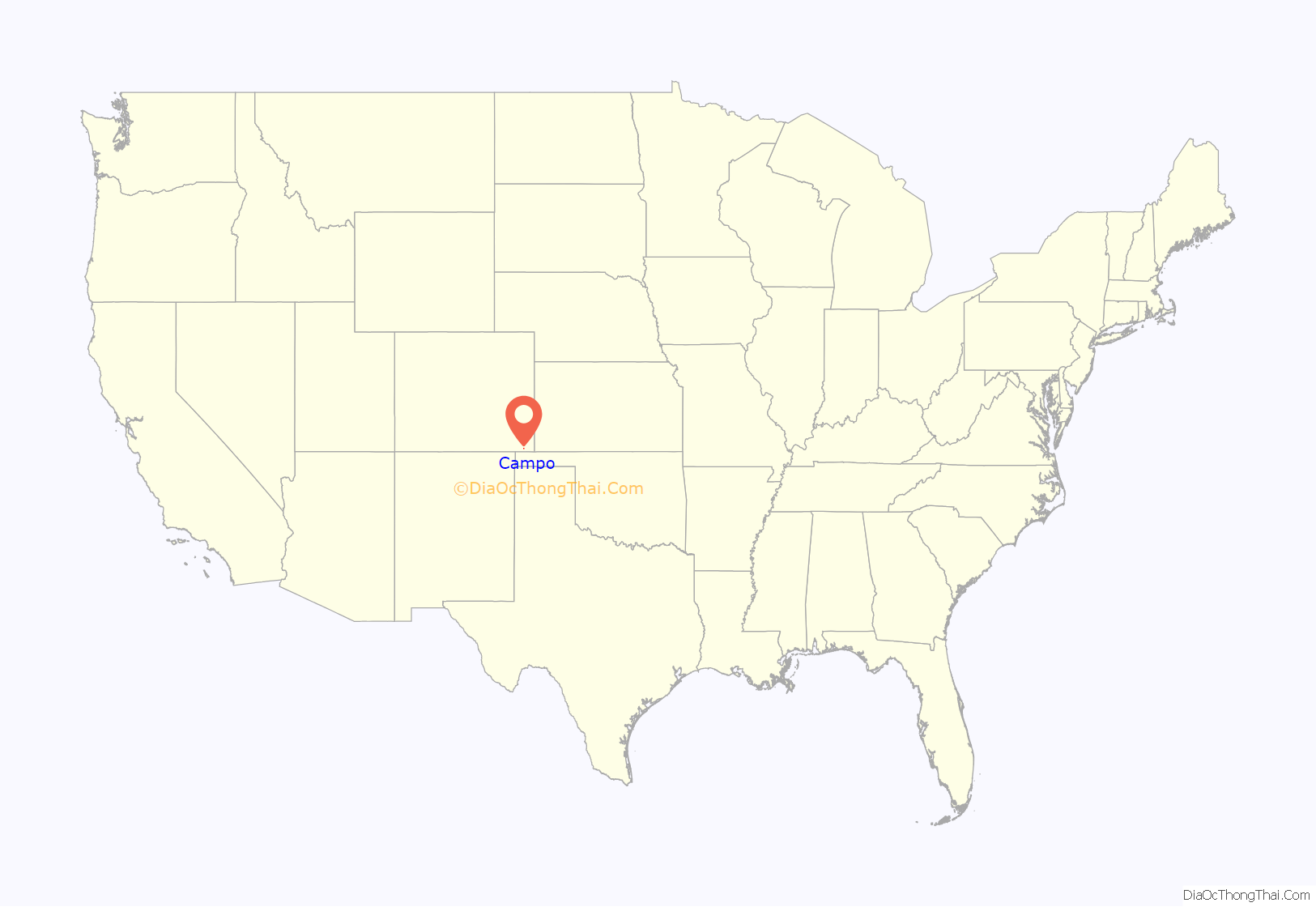
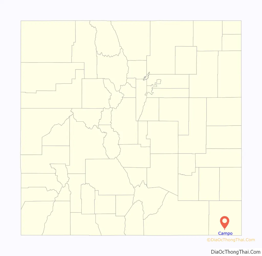
Campo location map. Where is Campo town?
History
Campo is a name derived from a Spanish word meaning “field”. A post office called Campo was established in 1913, and the town grew around it.
Campo Road Map
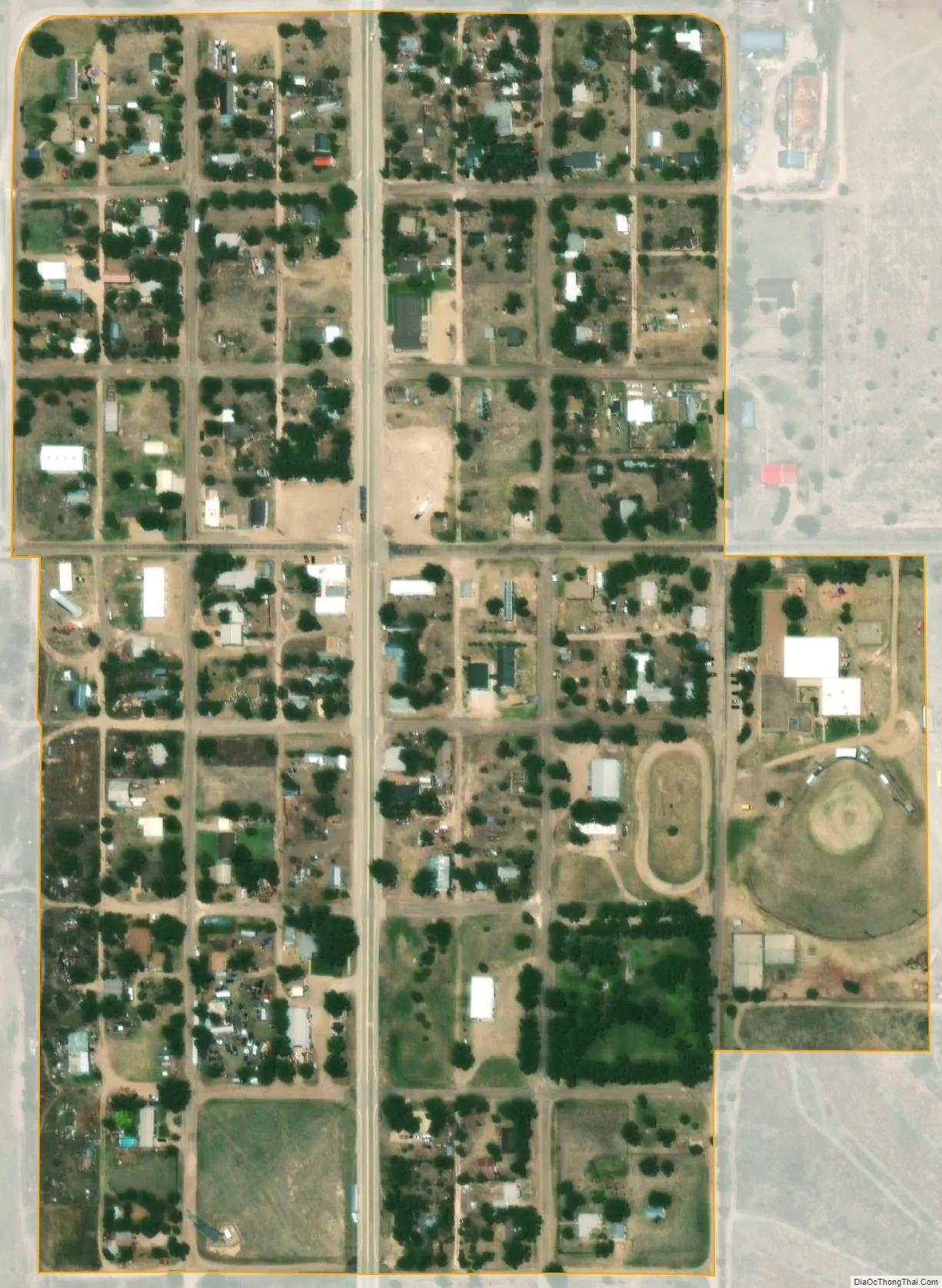
Campo city Satellite Map
Geography
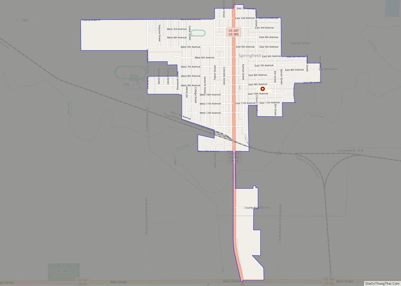
Campo is located just north of the Oklahoma border in southern Baca County at 37°06′17″N 102°34′42″W / 37.104731°N 102.578394°W / 37.104731; -102.578394. Via U.S. Route 287/385 it is 21 miles (34 km) north to Springfield, the county seat, and 27 miles (43 km) south to Boise City, Oklahoma.
At the 2020 United States Census, the town had a total area of 92 acres (0.374 km), all of it land.
Picture Canyon, in the Comanche National Grassland, is to the southwest. The canyon includes scenic vistas, unique rock formations, rolling hills, and rock art from Plains Indian cultures.
Climate
See also
Map of Colorado State and its subdivision:- Adams
- Alamosa
- Arapahoe
- Archuleta
- Baca
- Bent
- Boulder
- Broomfield
- Chaffee
- Cheyenne
- Clear Creek
- Conejos
- Costilla
- Crowley
- Custer
- Delta
- Denver
- Dolores
- Douglas
- Eagle
- El Paso
- Elbert
- Fremont
- Garfield
- Gilpin
- Grand
- Gunnison
- Hinsdale
- Huerfano
- Jackson
- Jefferson
- Kiowa
- Kit Carson
- La Plata
- Lake
- Larimer
- Las Animas
- Lincoln
- Logan
- Mesa
- Mineral
- Moffat
- Montezuma
- Montrose
- Morgan
- Otero
- Ouray
- Park
- Phillips
- Pitkin
- Prowers
- Pueblo
- Rio Blanco
- Rio Grande
- Routt
- Saguache
- San Juan
- San Miguel
- Sedgwick
- Summit
- Teller
- Washington
- Weld
- Yuma
- Alabama
- Alaska
- Arizona
- Arkansas
- California
- Colorado
- Connecticut
- Delaware
- District of Columbia
- Florida
- Georgia
- Hawaii
- Idaho
- Illinois
- Indiana
- Iowa
- Kansas
- Kentucky
- Louisiana
- Maine
- Maryland
- Massachusetts
- Michigan
- Minnesota
- Mississippi
- Missouri
- Montana
- Nebraska
- Nevada
- New Hampshire
- New Jersey
- New Mexico
- New York
- North Carolina
- North Dakota
- Ohio
- Oklahoma
- Oregon
- Pennsylvania
- Rhode Island
- South Carolina
- South Dakota
- Tennessee
- Texas
- Utah
- Vermont
- Virginia
- Washington
- West Virginia
- Wisconsin
- Wyoming