Springfield is a Statutory Town which is also the county seat and most populous town in Baca County, Colorado, United States. The population was 1,325 at the 2020 census.
| Name: | Springfield town |
|---|---|
| LSAD Code: | 43 |
| LSAD Description: | town (suffix) |
| State: | Colorado |
| County: | Baca County |
| Incorporated: | January 16, 1889 |
| Elevation: | 4,360 ft (1,329 m) |
| Total Area: | 1.13 sq mi (2.92 km²) |
| Land Area: | 1.13 sq mi (2.92 km²) |
| Water Area: | 0.00 sq mi (0.00 km²) |
| Total Population: | 1,325 |
| Population Density: | 1,200/sq mi (450/km²) |
| ZIP code: | 81073 |
| Area code: | 719 |
| FIPS code: | 0873330 |
| GNISfeature ID: | 0203868 |
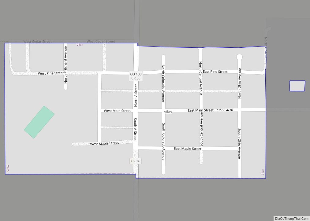
Online Interactive Map
Click on ![]() to view map in "full screen" mode.
to view map in "full screen" mode.
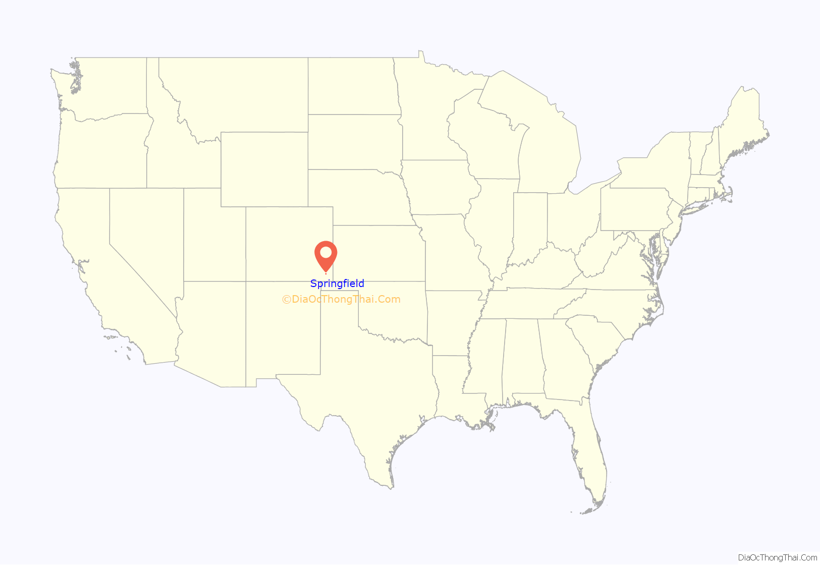
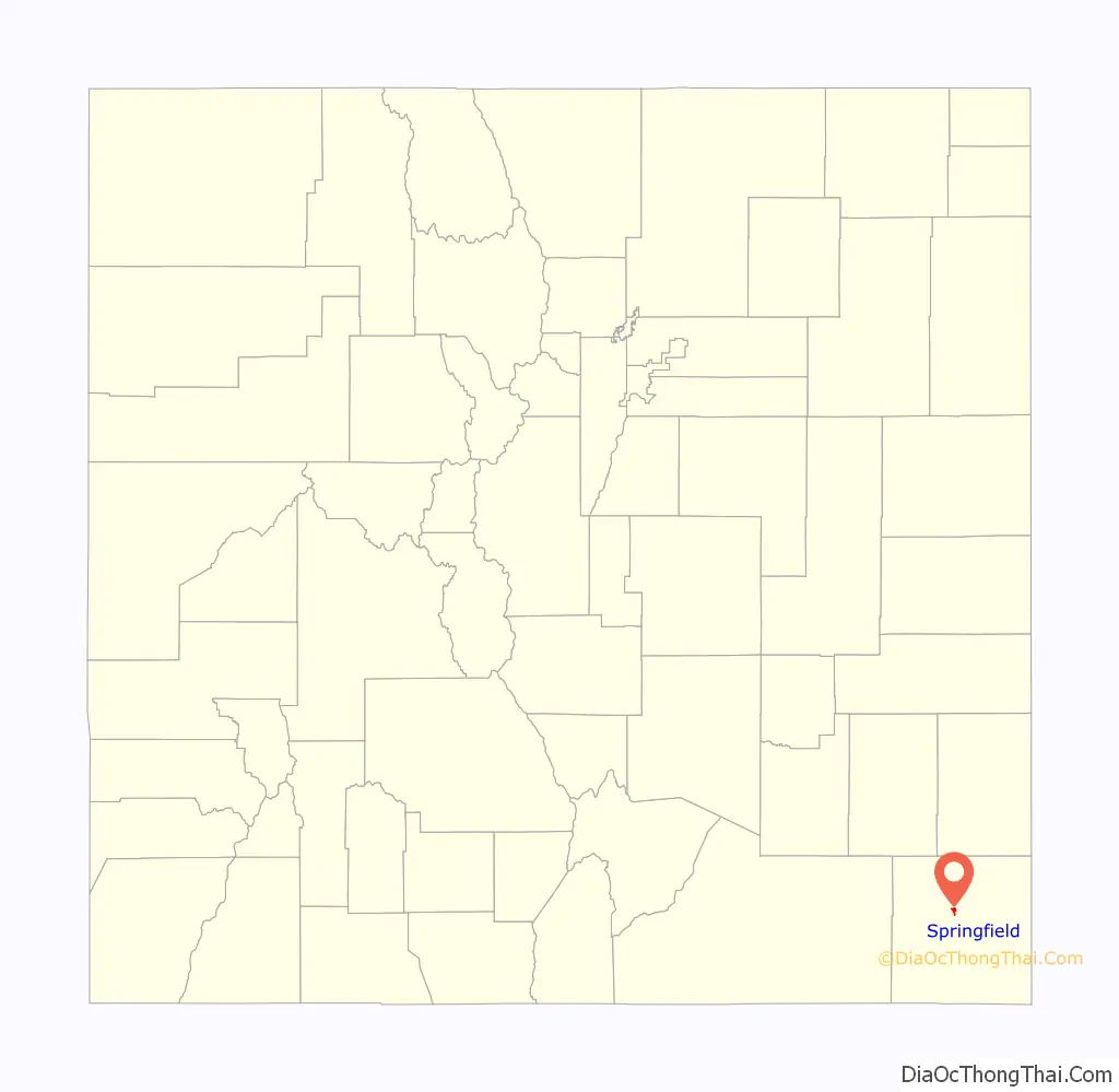
Springfield location map. Where is Springfield town?
History
The town was named after Springfield, Missouri.
Frank and Jim Tipton settled in Las Animas, Colorado in 1886. In 1888 or 1889, Jim and Frank secured the title to 80 acres which was the original townsite. They did this using a “soldiers script” and named the town after Springfield, Mo, since this is where the Tipton brothers had come from.
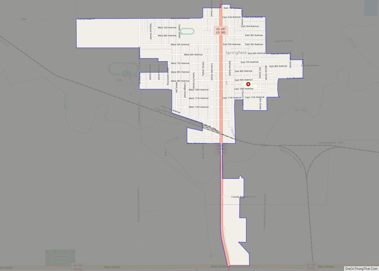
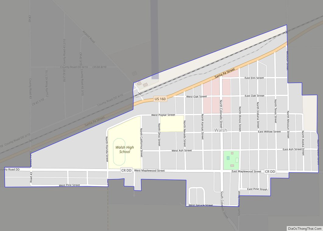
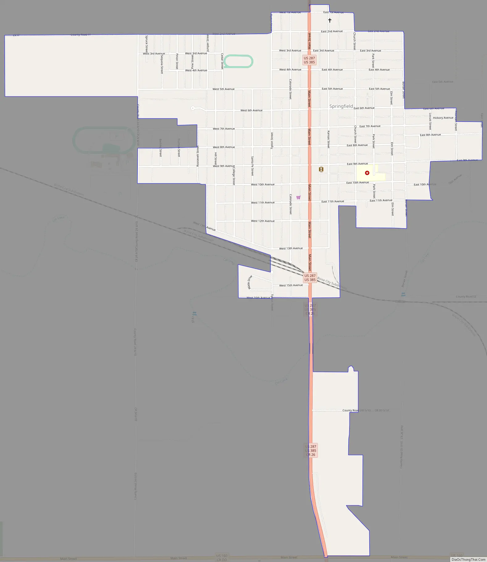
Springfield Road Map
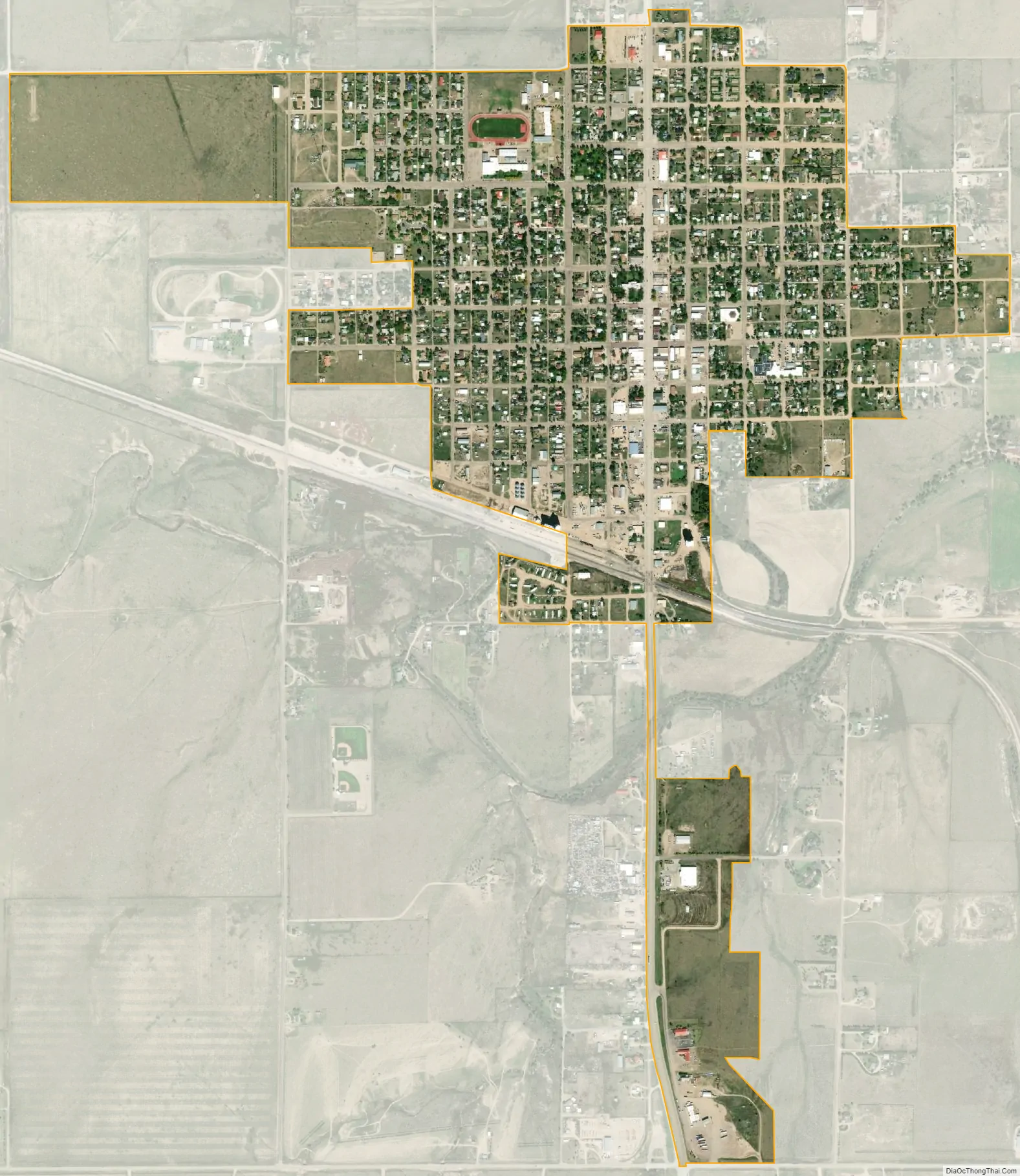
Springfield city Satellite Map
Geography
Springfield is located in north-central Baca County at 37°24′24″N 102°37′2″W / 37.40667°N 102.61722°W / 37.40667; -102.61722 (37.406629, -102.617243). It is located approximately 30 miles north of the Oklahoma state line.
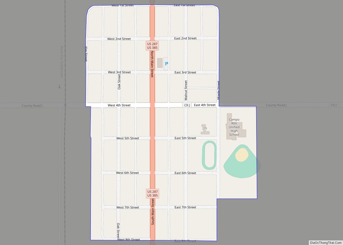
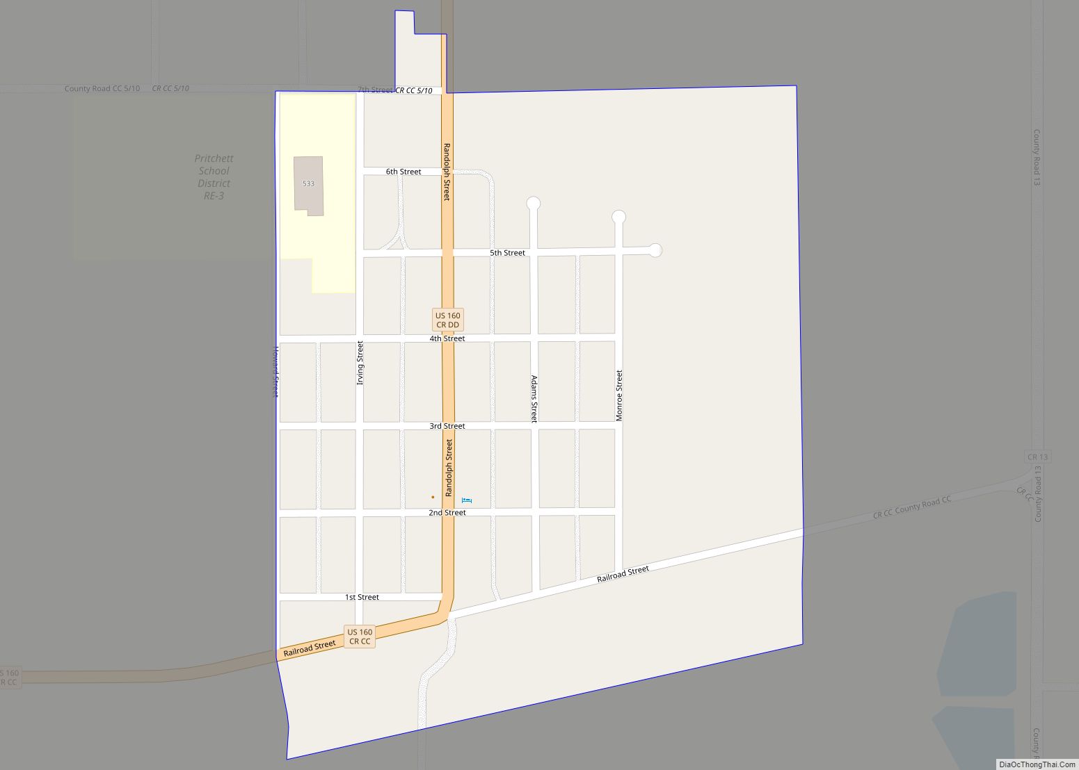
U.S. Routes 287 and 385 pass through the center of the town, leading north 47 miles (76 km) to Lamar, Colorado, and south 49 miles (79 km) to Boise City, Oklahoma. U.S. Route 160 passes just to the south of the town, leading west 120 miles (190 km) to Trinidad, Colorado, and east 50 miles (80 km) to Johnson City, Kansas.
Springfield Municipal Airport (FAA ID: 8V7) is four miles north.
According to the United States Census Bureau, the town has a total area of 1.1 square miles (2.9 km), all of it land.
Springfield has a cool semi-arid climate (Köppen BSk) with hot summers featuring mild mornings and occasional heavy thunderstorm rains, and highly variable winters that range from very warm and windy to frigid and relatively still.
See also
Map of Colorado State and its subdivision:- Adams
- Alamosa
- Arapahoe
- Archuleta
- Baca
- Bent
- Boulder
- Broomfield
- Chaffee
- Cheyenne
- Clear Creek
- Conejos
- Costilla
- Crowley
- Custer
- Delta
- Denver
- Dolores
- Douglas
- Eagle
- El Paso
- Elbert
- Fremont
- Garfield
- Gilpin
- Grand
- Gunnison
- Hinsdale
- Huerfano
- Jackson
- Jefferson
- Kiowa
- Kit Carson
- La Plata
- Lake
- Larimer
- Las Animas
- Lincoln
- Logan
- Mesa
- Mineral
- Moffat
- Montezuma
- Montrose
- Morgan
- Otero
- Ouray
- Park
- Phillips
- Pitkin
- Prowers
- Pueblo
- Rio Blanco
- Rio Grande
- Routt
- Saguache
- San Juan
- San Miguel
- Sedgwick
- Summit
- Teller
- Washington
- Weld
- Yuma
- Alabama
- Alaska
- Arizona
- Arkansas
- California
- Colorado
- Connecticut
- Delaware
- District of Columbia
- Florida
- Georgia
- Hawaii
- Idaho
- Illinois
- Indiana
- Iowa
- Kansas
- Kentucky
- Louisiana
- Maine
- Maryland
- Massachusetts
- Michigan
- Minnesota
- Mississippi
- Missouri
- Montana
- Nebraska
- Nevada
- New Hampshire
- New Jersey
- New Mexico
- New York
- North Carolina
- North Dakota
- Ohio
- Oklahoma
- Oregon
- Pennsylvania
- Rhode Island
- South Carolina
- South Dakota
- Tennessee
- Texas
- Utah
- Vermont
- Virginia
- Washington
- West Virginia
- Wisconsin
- Wyoming