The City of Commerce City is a home rule municipality located in Adams County, Colorado, United States. The city population was 62,418 at the 2020 United States Census, a 35.95% increase since the 2010 United States Census. Commerce City is the 18th most populous municipality in Colorado. Commerce City is located north of Denver and is a part of the Denver–Aurora–Lakewood, CO Metropolitan Statistical Area and the Front Range Urban Corridor. Commerce City is a mixed residential and industrial community that is known for an oil refinery with a capacity of 90,000 barrels per day (14,000 m/d), operated by Suncor. Dick’s Sporting Goods Park, a soccer stadium in Commerce City, hosts the Colorado Rapids of Major League Soccer.
| Name: | Commerce City city |
|---|---|
| LSAD Code: | 25 |
| LSAD Description: | city (suffix) |
| State: | Colorado |
| County: | Adams County |
| Elevation: | 5,164 ft (1,574 m) |
| Total Area: | 36.399 sq mi (94.273 km²) |
| Land Area: | 36.002 sq mi (93.246 km²) |
| Water Area: | 0.397 sq mi (1.027 km²) |
| Total Population: | 62,418 |
| Population Density: | 1,734/sq mi (670/km²) |
| Area code: | Both 303 and 720 |
| FIPS code: | 0816495 |
| Website: | www.c3gov.com |
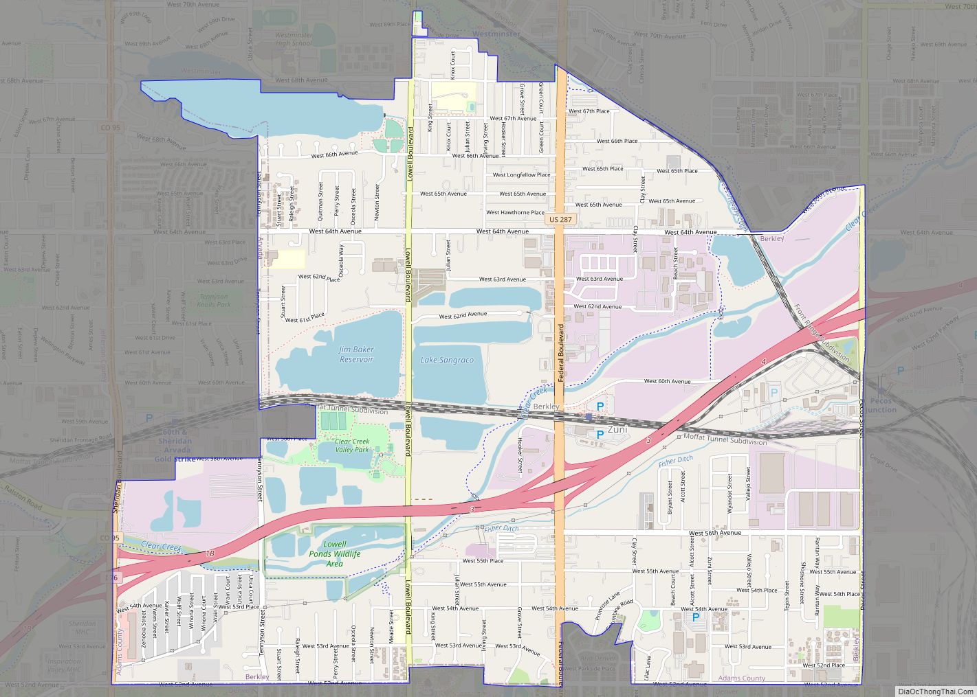
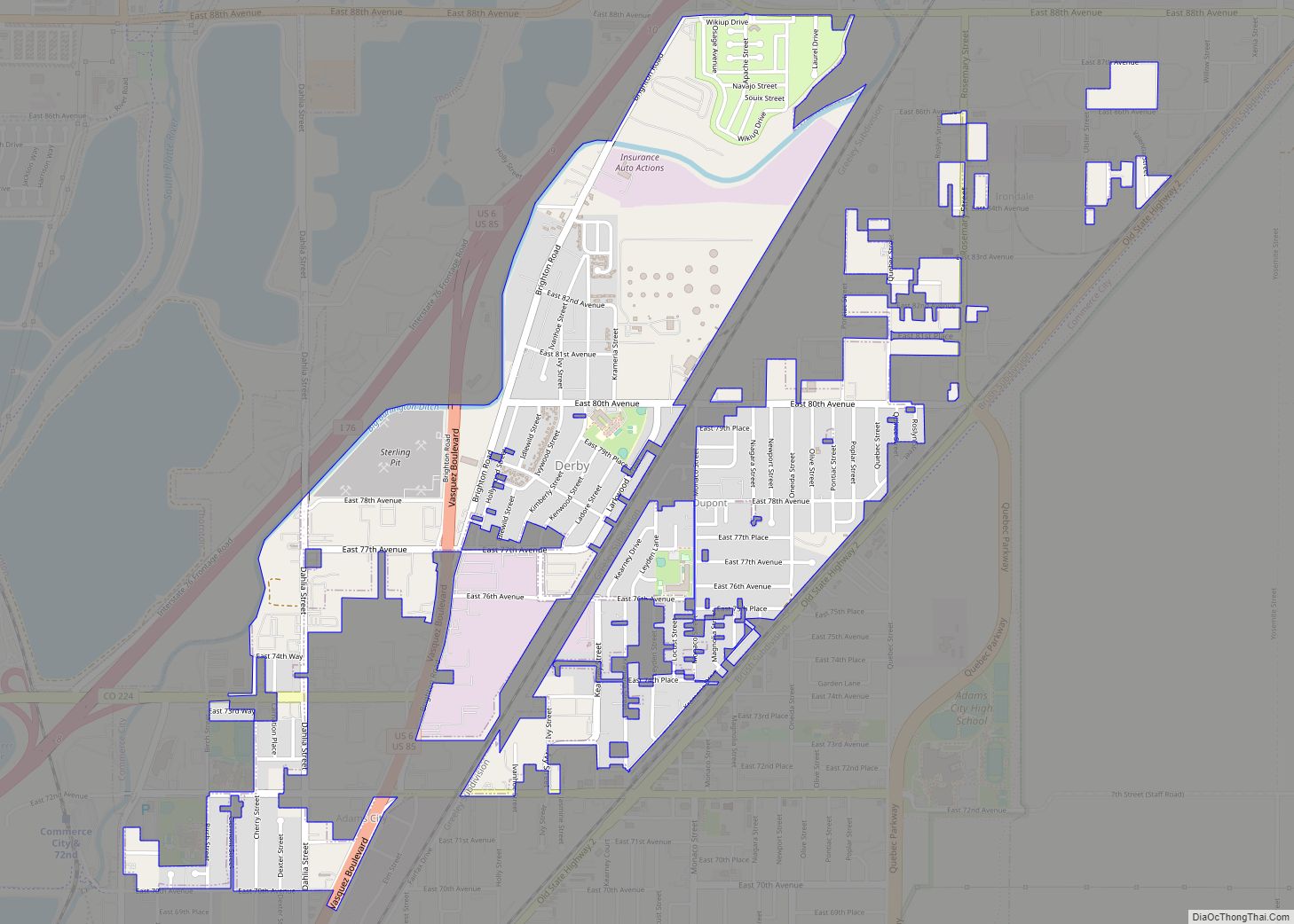
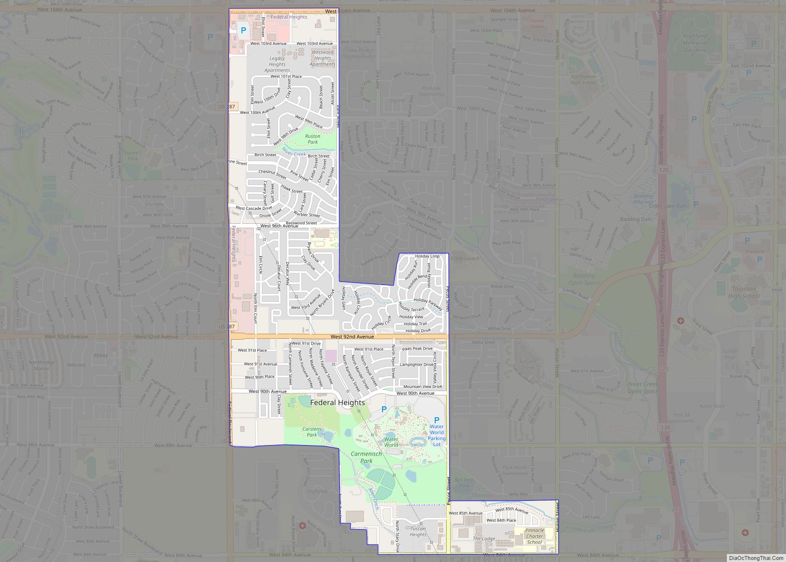
Online Interactive Map
Click on ![]() to view map in "full screen" mode.
to view map in "full screen" mode.
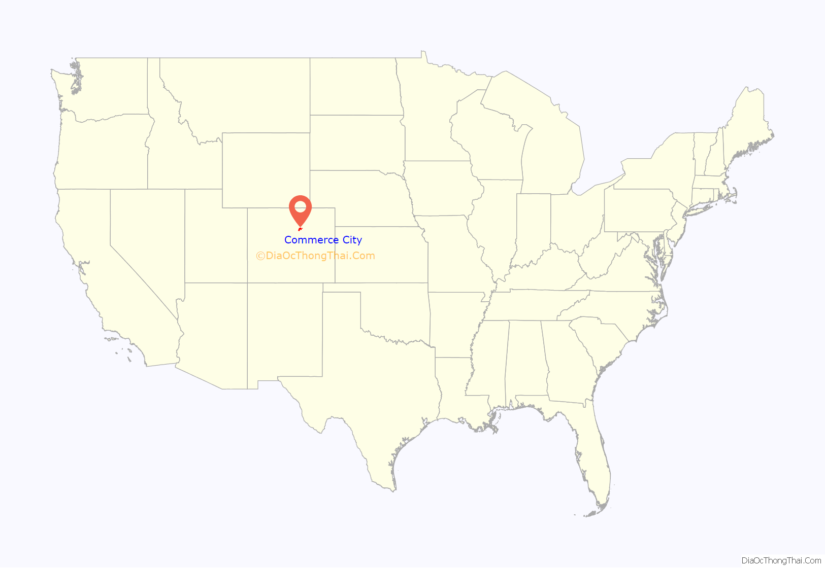
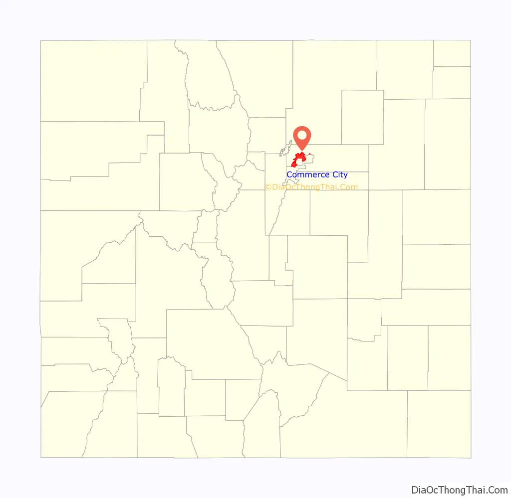
Commerce City location map. Where is Commerce City city?
History
In 1859 after fighting in Bleeding Kansas, John D. “Colonel Jack” Henderson built a ranch, trading post, and hotel on Henderson Island in the South Platte River in Arapahoe County, Kansas Territory north of Denver, from which he sold meat and provisions to gold seekers on their way up the South Platte River Trail to the gold fields during the Pikes Peak Gold Rush. Henderson Island was the first permanent settlement in the South Platte River Valley between Fort Saint Vrain in the Nebraska Territory and the Cherry Creek Diggings in the Kansas Territory. Henderson Island is today the site of the Adams County Regional Park and Fairgrounds.
Among the first establishments in the modern Commerce City were cemeteries. Riverside Cemetery, founded in 1876, is located in the city’s southwest corner at East 52nd Avenue and Brighton Boulevard. Rose Hill Cemetery, in the heart of historic Commerce City, was established in 1892 on what at the time was an open plain by the United Hebrew Cemetery Association.
The first school in the area began in 1871 as a one-room schoolhouse, with other schools added in 1899 and later in 1907. This latter school is now part of the North Building at the former site of Adams City High School, now Adams 14 School District Administration Buildings.
Several towns were founded in this part of Adams County in the 19th century. Derby, a Burlington Railroad station in 1887, was laid out as a town in 1889, although it was largely vacated by 1891. Irondale was first settled in 1889, named after a foundry that was opened that year. It was incorporated as the town of Irondale in 1924, but unincorporated in the 1930s due to increasing vacancy. Meanwhile, Adams City was laid out in 1903, with developers hoping the county seat would be established there; however, Brighton was elected county seat in 1904 and Adams City was vacated in 1922.
Until the late 1920s, the area was devoted to agriculture, including wheat fields, dairies, and pig farms. Industry moved in, with a refinery established in 1930 and grain elevators built in the late 1930s. Rocky Mountain Arsenal was founded in 1942 due east of the growing community.
In 1946 and 1947, Adams County School District 14 was formed from surrounding schools, and Adams City was redeveloped about that time. In 1951, as Denver was considering annexing the area, a plan to incorporate all of southern Adams County was developed. In July 1952, area residents voted 251 to 24 to incorporate Commerce Town, comprising neighborhoods such as Rose Hill and southern Adams City. Commerce Town annexed part of Derby in 1962, increasing the population over fourfold, enough for the town to gain the status of a city. The city name was duly changed to Commerce City. In April 2007, the citizens of Commerce City voted more than 2:1 to retain their city’s name.
The Mile High Kennel Club, a greyhound racing park founded in 1949, is no longer operational. With the onset of widespread off-track gambling, the physical moving of races around the country to different parks became unnecessary. The City of Commerce City has purchased the land with future development use unknown at this time.
A new Adams City High School has been constructed on land at 72nd and Quebec streets. This was formerly part of the Rocky Mountain Arsenal. The new school campus opened in 2009.
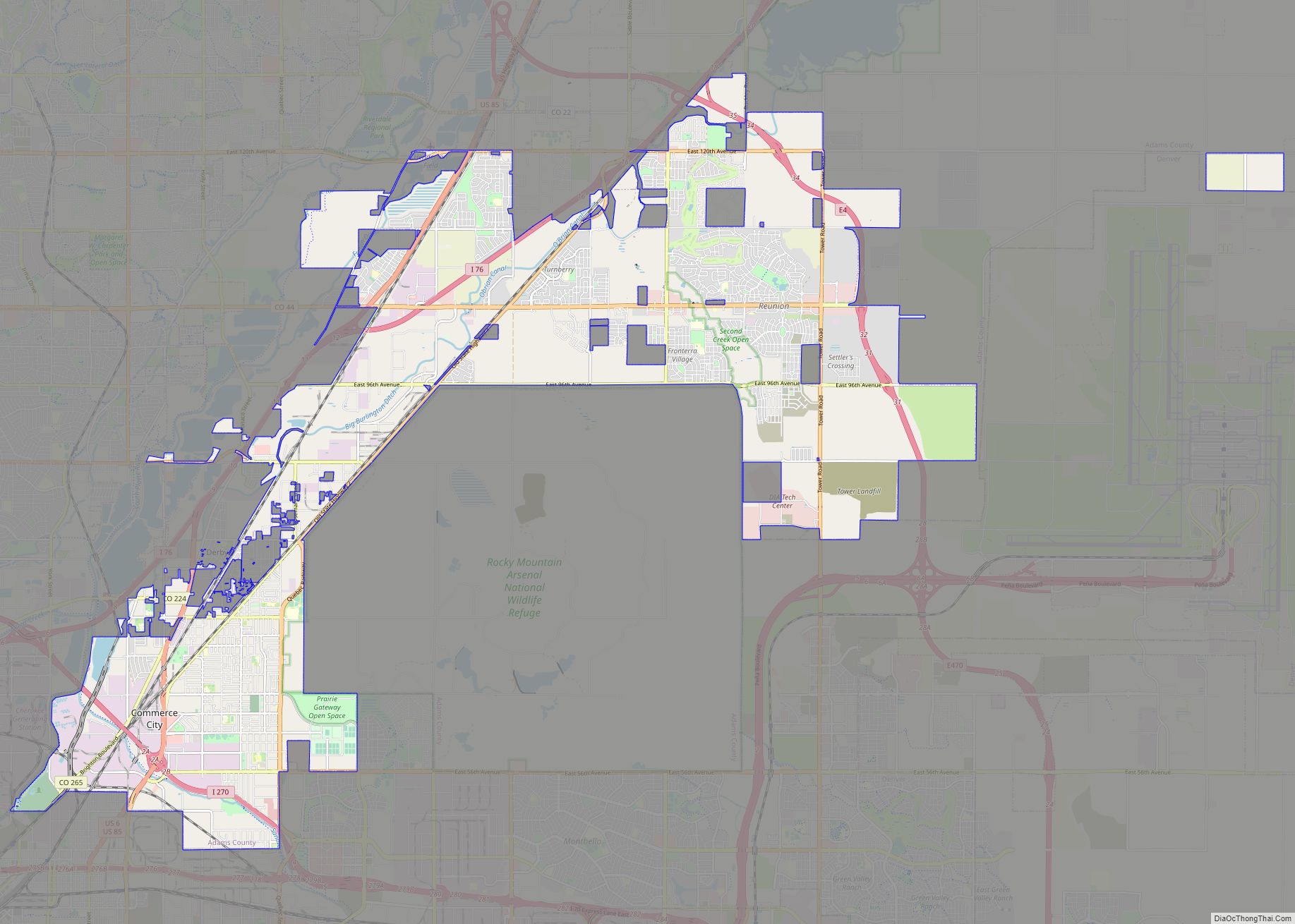
Commerce City Road Map
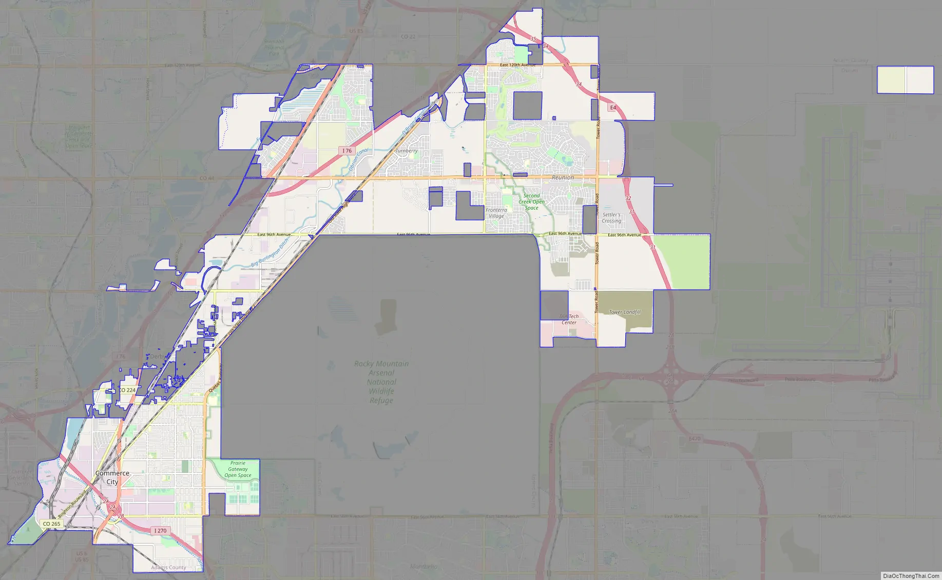
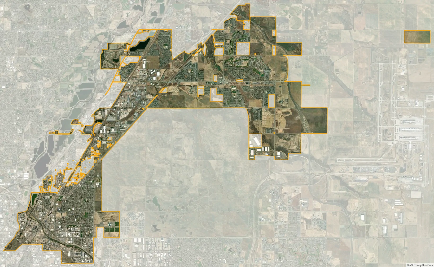
Commerce City city Satellite Map
Geography
Commerce City is located at 39°50′27″N 104°54′4″W / 39.84083°N 104.90111°W / 39.84083; -104.90111 (39.840735, -104.901139).
At the 2020 United States Census, the city had a total area of 23,295 acres (94.273 km), including 254 acres (1.027 km) of water.
Climate
See also
Map of Colorado State and its subdivision:- Adams
- Alamosa
- Arapahoe
- Archuleta
- Baca
- Bent
- Boulder
- Broomfield
- Chaffee
- Cheyenne
- Clear Creek
- Conejos
- Costilla
- Crowley
- Custer
- Delta
- Denver
- Dolores
- Douglas
- Eagle
- El Paso
- Elbert
- Fremont
- Garfield
- Gilpin
- Grand
- Gunnison
- Hinsdale
- Huerfano
- Jackson
- Jefferson
- Kiowa
- Kit Carson
- La Plata
- Lake
- Larimer
- Las Animas
- Lincoln
- Logan
- Mesa
- Mineral
- Moffat
- Montezuma
- Montrose
- Morgan
- Otero
- Ouray
- Park
- Phillips
- Pitkin
- Prowers
- Pueblo
- Rio Blanco
- Rio Grande
- Routt
- Saguache
- San Juan
- San Miguel
- Sedgwick
- Summit
- Teller
- Washington
- Weld
- Yuma
- Alabama
- Alaska
- Arizona
- Arkansas
- California
- Colorado
- Connecticut
- Delaware
- District of Columbia
- Florida
- Georgia
- Hawaii
- Idaho
- Illinois
- Indiana
- Iowa
- Kansas
- Kentucky
- Louisiana
- Maine
- Maryland
- Massachusetts
- Michigan
- Minnesota
- Mississippi
- Missouri
- Montana
- Nebraska
- Nevada
- New Hampshire
- New Jersey
- New Mexico
- New York
- North Carolina
- North Dakota
- Ohio
- Oklahoma
- Oregon
- Pennsylvania
- Rhode Island
- South Carolina
- South Dakota
- Tennessee
- Texas
- Utah
- Vermont
- Virginia
- Washington
- West Virginia
- Wisconsin
- Wyoming