The Town of Crestone is a Statutory Town in Saguache County, Colorado. According to the 2020 United States Census the town population was 141. Crestone is located at the foot of the western slope of the Sangre de Cristo Range, in the northern part of the San Luis Valley. Crestone was platted in 1880 by George Adams, owner of the neighboring Luis Maria Baca Grant No. 4. In the 1970s the Baca Grande land development, was established on the lands of the Baca Grant to the south and west. Several hundred homes have been built there.
The Crestone area, which includes the Baca Grande and Moffat, Colorado, is a spiritual center for some religions, including: a Hindu temple, a Zen center, several Tibetan Buddhist centers, and miscellaneous New Age happenings. Much of this spiritual development was catalyzed by the couple Hanne Strong and Maurice Strong in the 1970s, who set out to make it an interfaith center.
Crestone is named for the 14,000-foot peaks that lie just east of the town: Crestone Peak and Crestone Needle. The Crestones, as they are known collectively, in turn, took their name from the Spanish word crestón, which, according to Walter Borneman and Lyndon Lampert’s book A Climbing Guide to Colorado’s Fourteeners, means: “the top of a cock’s comb”; “the crest of a helmet”; or, in miners’ jargon, “an outcropping of ore”.
| Name: | Crestone town |
|---|---|
| LSAD Code: | 43 |
| LSAD Description: | town (suffix) |
| State: | Colorado |
| County: | Saguache County |
| Incorporated: | January 24, 1902 |
| Elevation: | 7,923 ft (2,415 m) |
| Total Area: | 0.385 sq mi (0.996 km²) |
| Land Area: | 0.385 sq mi (0.996 km²) |
| Water Area: | 0.000 sq mi (0.000 km²) |
| Total Population: | 141 |
| Population Density: | 367/sq mi (142/km²) |
| ZIP code: | 81131 |
| Area code: | 719 |
| FIPS code: | 0818420 |
| Website: | townofcrestone.colorado.gov |
Online Interactive Map
Click on ![]() to view map in "full screen" mode.
to view map in "full screen" mode.
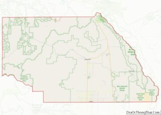
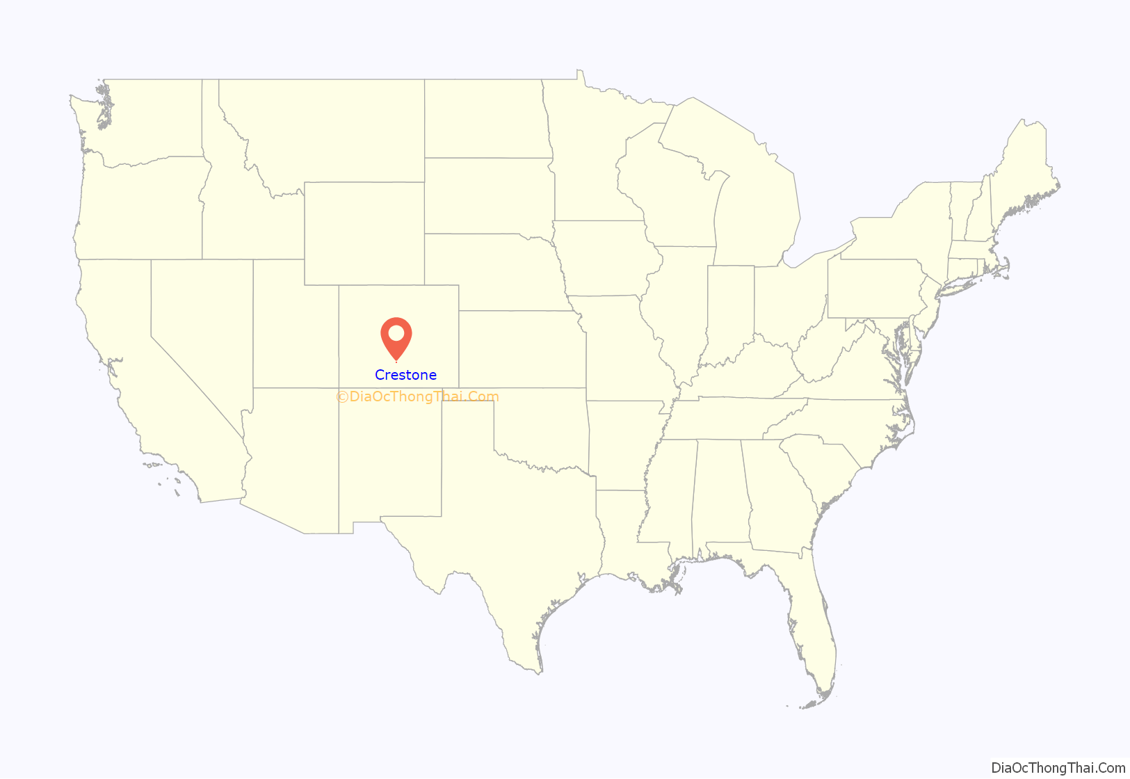
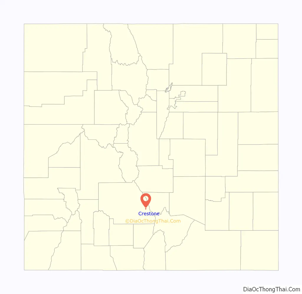
Crestone location map. Where is Crestone town?
History
The first settlement in the Crestone area occurred after the American Civil War with the granting of the Luis Maria Baca Grant No. 4 in 1860 to the heirs of the original Baca Grant at Las Vegas, New Mexico. Title to the grant at Las Vegas was clouded by a second grant of the same land to the residents of Las Vegas, the Bacas having abandoned their grant after the deaths of the founder to a Mexican soldier in 1827 and of his oldest son at the hands of the Navajo in 1835. The Baca heirs were offered alternative lands from the public lands of the United States. The square tract selected is 12.5 miles (20.1 km) on a side south of Saguache County Road T south of Crestone. The Bacas deeded the land to their attorney, but it soon passed by tax sale to a third party. The ranch headquarters were on Crestone Creek to the southwest of Crestone. The Baca Grant was one of the first large tracts of land to be fenced in the West and in its heyday was the home of prize Hereford cattle.
In addition to ranching, there was some mining in the area to the east and south of Crestone of small shallow iron oxide copper gold ore deposits. In 1880, the town of Crestone was platted by George Adams, the owner of the Baca Grant. In 1900, with the help of Eastern investors, George Adams ignited a minor boom, reopening one of the more promising gold mines and building a railroad spur to the town and the mines along the Range south of town. However, lacking good ore, the boom was short lived. A long period of decline followed.
By 1948, Crestone had declined to its post-war population of 40, mostly retirees and cowboys who worked on the Grant, a nickname for the Baca Grant. Many of the old cabins were used as vacation homes. By 1971, the Baca Grant came into the ownership of a corporation which subdivided a portion of the Grant, creating the Baca Grande, a subdivision originally platted for about 10,000 lots. At great expense, underground utilities were installed and roads built. However, sales lagged and by 1979 the development was considered a liability by the corporation. Maurice Strong, owner of a controlling interest and his fiancée, Hanne Marstrand, visited the development and “fell in love with it”. They were inspired to create a world spiritual center and began granting parcels of land to traditional spiritual organizations.
The population gradually began to increase and by 2006 several hundred homes had been built and a number of small spiritual communities had become established. As the Baca Grande contained no provision for business uses, Crestone became the business center of the community and, having enacted a sales tax, was in a position to finance further improvements.
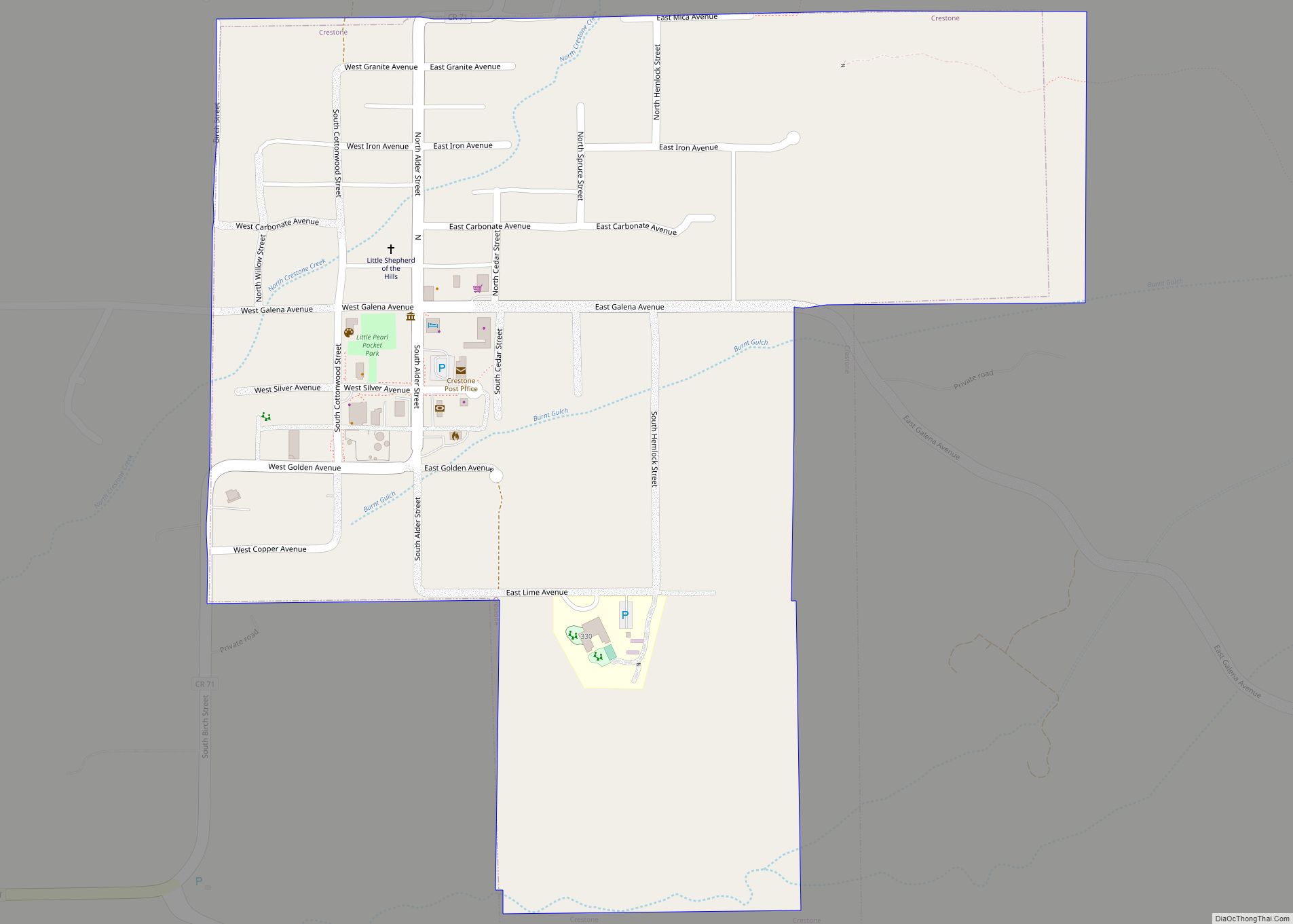
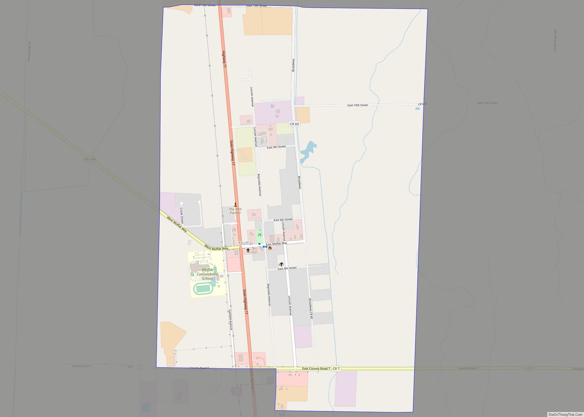
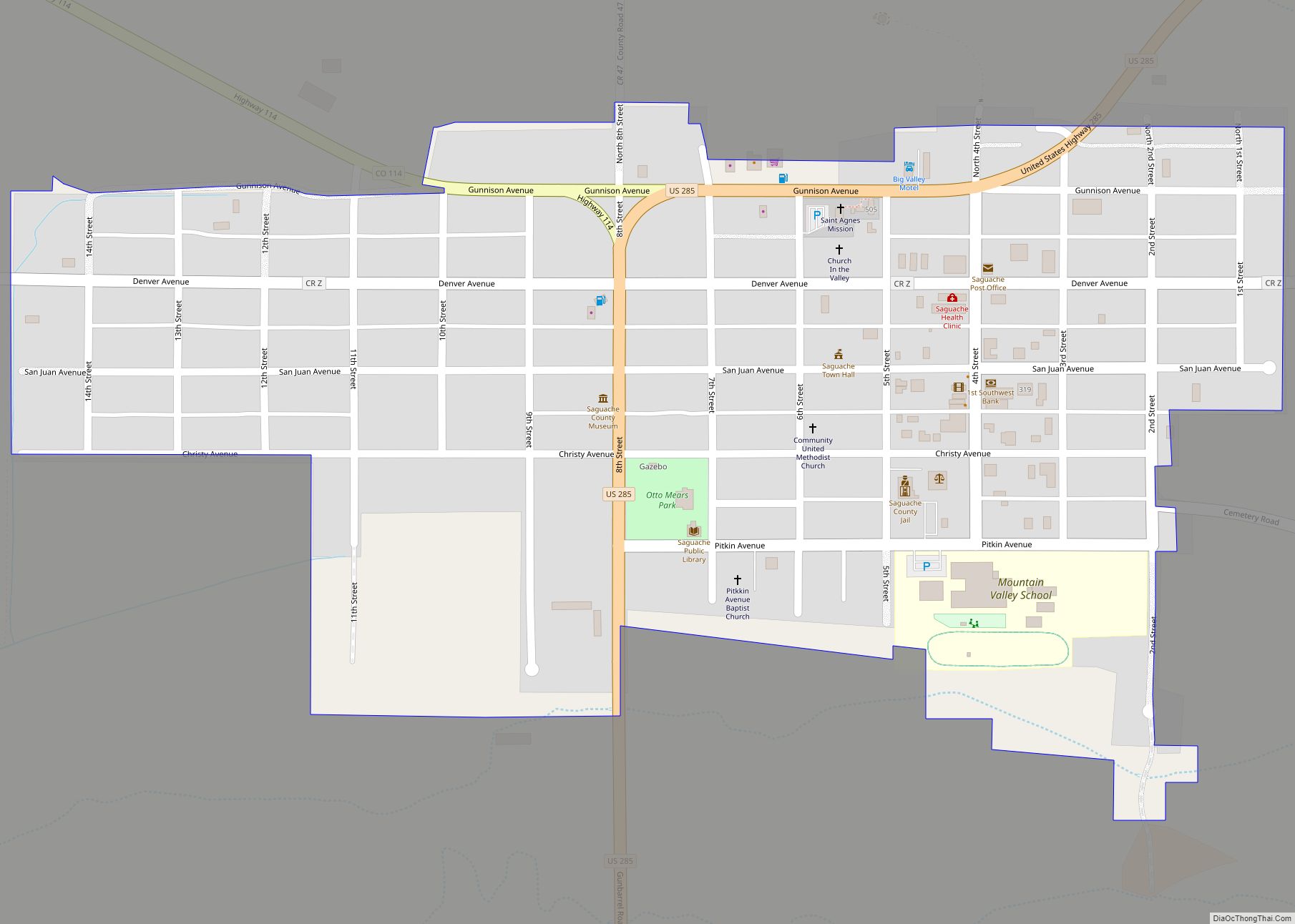
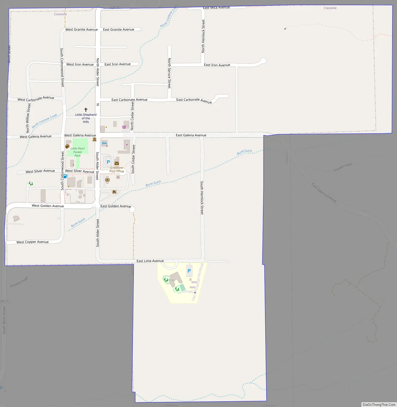
Crestone Road Map
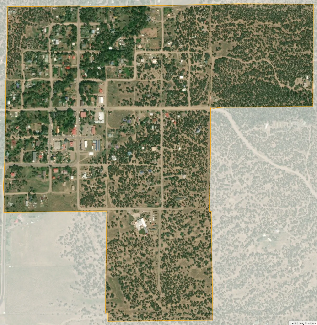
Crestone city Satellite Map
Geography
Crestone is located near the 38th parallel, in the San Luis Valley in south central Colorado. It is platted on a quarter section of land, or 160 acres (0.65 km), on the alluvial fan of North Crestone Creek. Much of the land near the creek where the main part of the city sits, is well watered in normal times, but during a prolonged drought the creek may dry up and underground water levels may fall.
At the 2020 United States Census, the town had a total area of 246 acres (0.996 km), all of it land.
Access
Saguache County Road T is the main road into Crestone. It is a county road. It is “T” in a series of alphabetically named east-west roads which begin at State Highway 112, the south boundary of Saguache County, which would be Road A, if it were not a state highway. Road T is a through road across the valley, crossing U.S. Highway 285 at Swede’s Corners about 6 miles south of Saguache, Colorado but is paved only from Moffat, Colorado east 12.5 miles to Crestone, Colorado. The eastern portion of Road T forms the north boundary of the Baca National Wildlife Refuge.
Public lands
Mountain terrain east of Crestone is managed by the Rio Grande National Forest including part of the Sangre de Cristo Wilderness. Public lands at the foot of the mountains including the forested public land surrounding Crestone is managed by the United States Bureau of Land Management. The combined office of the United States Forest Service and the BLM is in Saguache, Colorado, the county seat.
See also
Map of Colorado State and its subdivision:- Adams
- Alamosa
- Arapahoe
- Archuleta
- Baca
- Bent
- Boulder
- Broomfield
- Chaffee
- Cheyenne
- Clear Creek
- Conejos
- Costilla
- Crowley
- Custer
- Delta
- Denver
- Dolores
- Douglas
- Eagle
- El Paso
- Elbert
- Fremont
- Garfield
- Gilpin
- Grand
- Gunnison
- Hinsdale
- Huerfano
- Jackson
- Jefferson
- Kiowa
- Kit Carson
- La Plata
- Lake
- Larimer
- Las Animas
- Lincoln
- Logan
- Mesa
- Mineral
- Moffat
- Montezuma
- Montrose
- Morgan
- Otero
- Ouray
- Park
- Phillips
- Pitkin
- Prowers
- Pueblo
- Rio Blanco
- Rio Grande
- Routt
- Saguache
- San Juan
- San Miguel
- Sedgwick
- Summit
- Teller
- Washington
- Weld
- Yuma
- Alabama
- Alaska
- Arizona
- Arkansas
- California
- Colorado
- Connecticut
- Delaware
- District of Columbia
- Florida
- Georgia
- Hawaii
- Idaho
- Illinois
- Indiana
- Iowa
- Kansas
- Kentucky
- Louisiana
- Maine
- Maryland
- Massachusetts
- Michigan
- Minnesota
- Mississippi
- Missouri
- Montana
- Nebraska
- Nevada
- New Hampshire
- New Jersey
- New Mexico
- New York
- North Carolina
- North Dakota
- Ohio
- Oklahoma
- Oregon
- Pennsylvania
- Rhode Island
- South Carolina
- South Dakota
- Tennessee
- Texas
- Utah
- Vermont
- Virginia
- Washington
- West Virginia
- Wisconsin
- Wyoming